Auchenhay Hill

Hill, Mountain in Kirkcudbrightshire

Scotland

Auchenhay Hill

Rough pasture,  Upper Barr
Rough pasture, Upper Barr Credit: Richard Webb

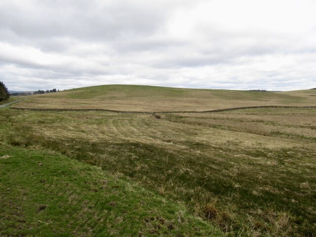
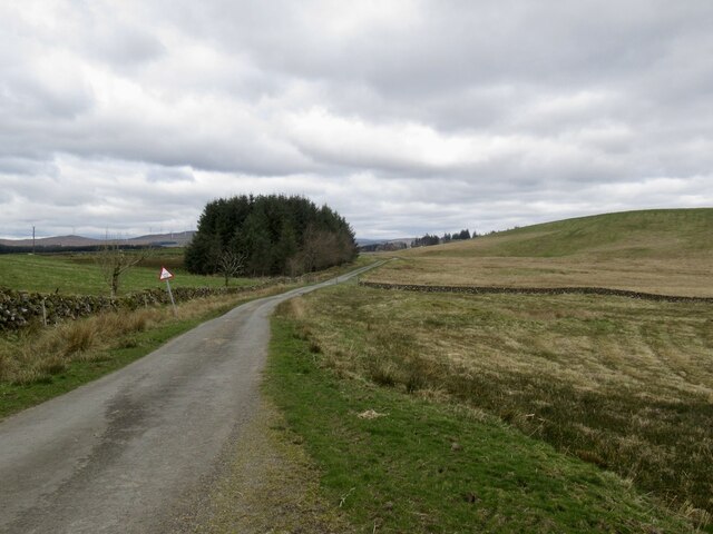
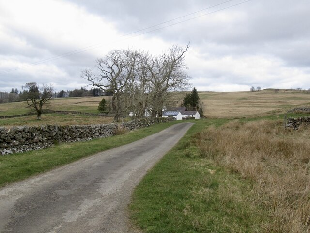
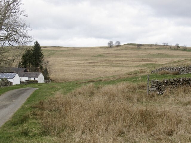
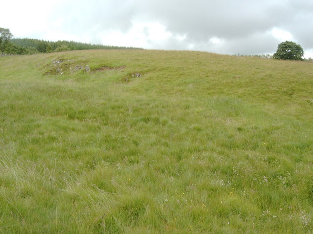
Auchenhay Hill is a prominent hill located in Kirkcudbrightshire, Scotland. Standing at an elevation of 265 meters (869 feet), it offers stunning panoramic views of the surrounding countryside and the Solway Firth. The hill is a popular destination for hikers and nature enthusiasts, with a well-marked trail leading to the summit.

Auchenhay Hill is covered in a mix of grasses, heather, and scattered trees, creating a picturesque landscape that changes with the seasons. The hill is home to a variety of wildlife, including birds of prey, deer, and smaller mammals, making it a great spot for birdwatching and wildlife spotting.

At the top of Auchenhay Hill, visitors can enjoy a peaceful and serene atmosphere, perfect for a moment of relaxation or a picnic. On a clear day, the views stretch out for miles, offering a glimpse of the surrounding hills and valleys, as well as the nearby town of Kirkcudbright.

Overall, Auchenhay Hill is a beautiful natural landmark that provides both recreational opportunities and a chance to connect with nature in the heart of Kirkcudbrightshire.

If you have any feedback on the listing, please let us know in the comments section below.

Auchenhay Hill Images

Images are sourced within 2km of 55.09039/-3.9109588 or Grid Reference NX7878. Thanks to Geograph Open Source API. All images are credited.

Rough pasture,  Upper Barr
Rough pasture, Upper Barr
Road, Upper Barr It sports a fine collection of potholes, some marked with cones.
Road, Upper Barr
It sports a fine collection of potholes, some marked with cones.
Yellow road, Nether Glaisters A good road to visit if you are a pothole enthusiast.
Yellow road, Nether Glaisters
A good road to visit if you are a pothole enthusiast.
Rough grazing, Nether Glaisters
Westland Ruin The ruined building called Westland.
Westland Ruin
The ruined building called Westland.
A firebreak in Glaisters Wood Mature forestry between Glaisters Hill and Barr Hill.
A firebreak in Glaisters Wood
Mature forestry between Glaisters Hill and Barr Hill.
Glaisters Wood A view down an old firebreak with young Sitka trees on the left and a clear fell area to the right. This forest is managed by Scottish Woodlands Ltd.
Glaisters Wood
A view down an old firebreak with young Sitka trees on the left and a clear fell area to the right. This forest is managed by Scottish Woodlands Ltd.
Forest track on Auchenhay Hill A thunderstorm had just passed through, leaving a wet track.
Forest track on Auchenhay Hill
A thunderstorm had just passed through, leaving a wet track.
Forest edge The edge of the forest on Auchenhay Hill, taken from where the track enters the forest.
Forest edge
The edge of the forest on Auchenhay Hill, taken from where the track enters the forest.
Forest ride on Auchenhay Hill Some broad-leave planting in a forest ride.
Forest ride on Auchenhay Hill
Some broad-leave planting in a forest ride.
Auchenhay Cottage Manicured edges on the road above Auchenhay Cottage.
Auchenhay Cottage
Manicured edges on the road above Auchenhay Cottage.
Forest edge The edge of the forest above Auchenhay.
Forest edge
The edge of the forest above Auchenhay.
Knarie Burn
Knarie Burn
Farm building on the road to Auchenhay
Settlement, apparently I walked up to this hill but my untrained eye didn't really see any evidence of an ancient settlement... but the map said it was.
Settlement, apparently
I walked up to this hill but my untrained eye didn't really see any evidence of an ancient settlement... but the map said it was.
Upper Barr, seen from the square to the southeast
Auchenhay Hill, seen from the south
Cattle grid on the road from Corsock Bridge to Glaisters
Show me another place!

Auchenhay Hill is located at Grid Ref: NX7878 (Lat: 55.09039, Lng: -3.9109588)

Unitary Authority: Dumfries and Galloway

Police Authority: Dumfries and Galloway

What 3 Words

///voltages.back.friday. Near Castle Douglas, Dumfries & Galloway

Nearby Locations

Auchenhay Hill

Related Wikis

Dumfries and Galloway

Dumfries and Galloway (Scots: Dumfries an Gallowa; Scottish Gaelic: Dùn Phrìs is Gall-Ghaidhealaibh) is one of the 32 unitary council areas of Scotland...

Corsock

Corsock (Scottish Gaelic: Corsag) is a village in the historical county of Kirkcudbrightshire, Dumfries and Galloway, south-west Scotland. It is located...

Craigenputtock

Craigenputtock (usually spelled by the Carlyles as Craigenputtoch) is an estate in Scotland where Thomas Carlyle lived from 1828 to 1834. He wrote several...

Glenkiln Sculpture Park

Glenkiln Sculpture Park was a sculpture landscape in the historic county of Kirkcudbrightshire in Dumfries and Galloway, south-west Scotland. After one...

Have you been to Auchenhay Hill?

Leave your review of Auchenhay Hill below (or comments, questions and feedback).