An Socach
Hill, Mountain in Inverness-shire
Scotland
An Socach

An Socach is a prominent hill located in Inverness-shire, Scotland. Standing at a height of 944 meters (3,097 feet), it is classified as a Munro, which is a Scottish term used to describe a mountain over 3,000 feet in height.
An Socach is part of the Cairngorms mountain range, known for its stunning natural beauty and rugged terrain. The hill is characterized by its steep slopes, rocky outcrops, and sweeping vistas of the surrounding landscape. It is a popular destination for hikers and mountaineers looking to challenge themselves with a strenuous but rewarding climb.
The summit of An Socach offers panoramic views of the Cairngorms National Park, with its diverse array of wildlife, plant life, and geological formations. On a clear day, it is possible to see for miles around, taking in the rolling hills, deep valleys, and sparkling lochs that make up this picturesque region of Scotland.
Overall, An Socach is a must-visit for outdoor enthusiasts looking to immerse themselves in the natural beauty of the Scottish Highlands and experience the thrill of conquering a Munro.
If you have any feedback on the listing, please let us know in the comments section below.
An Socach Images
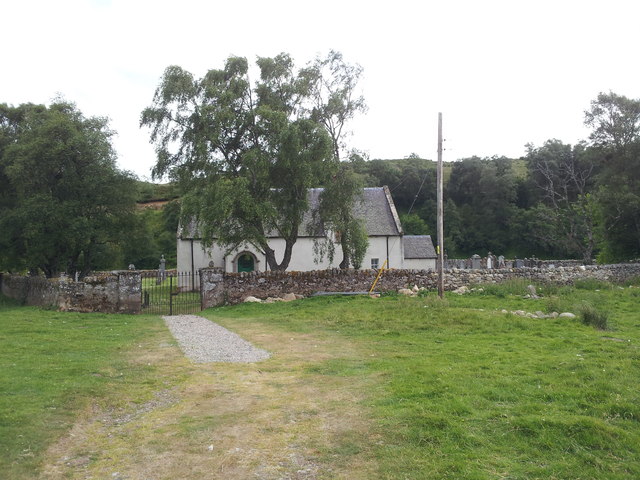
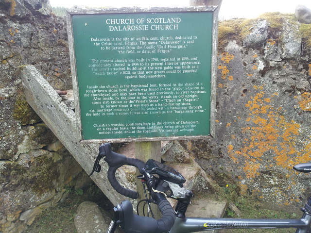
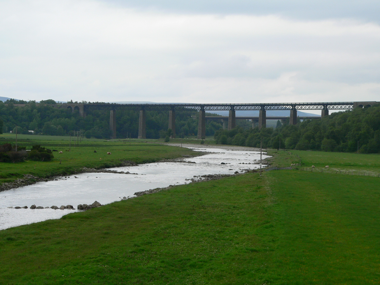
Images are sourced within 2km of 57.285621/-4.0261027 or Grid Reference NH7723. Thanks to Geograph Open Source API. All images are credited.


An Socach is located at Grid Ref: NH7723 (Lat: 57.285621, Lng: -4.0261027)
Unitary Authority: Highland
Police Authority: Highlands and Islands
What 3 Words
///sanded.stirs.bricks. Near Aviemore, Highland
Nearby Locations
Related Wikis
Tomatin
Tomatin (Scottish Gaelic: Tom Aitinn) is a small village on the River Findhorn in Strathdearn in the Scottish Highlands, about 16 miles (26 km) southeast...

Farr Wind Farm
Farr Wind Farm is located approximately 10 miles (16 km) south of Inverness in Scotland, to the south-east of the Farr area, and to the west of the A9...
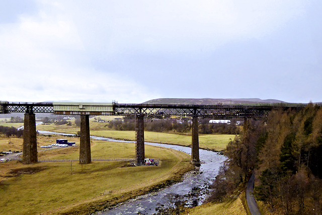
Findhorn Viaduct (Tomatin)
The Findhorn Viaduct is a railway bridge approximately 500 metres (550 yd) east of the village of Tomatin in the Scottish Highlands, which carries the...

Tomatin distillery
Tomatin distillery is a single malt Scotch whisky distillery in the village of Tomatin. Its whisky is classified as being from the Highland region, as...
Nearby Amenities
Located within 500m of 57.285621,-4.0261027Have you been to An Socach?
Leave your review of An Socach below (or comments, questions and feedback).