Bryn yr Helfa
Hill, Mountain in Merionethshire
Wales
Bryn yr Helfa
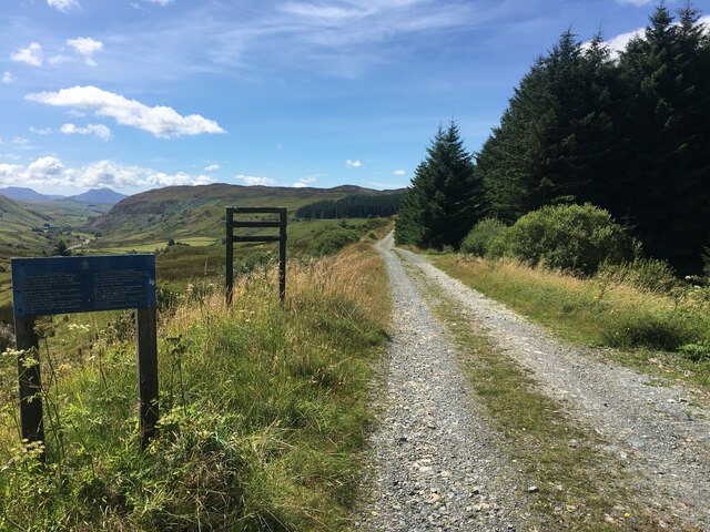
Bryn yr Helfa is a prominent hill/mountain located in the county of Merionethshire, Wales. Situated in the Snowdonia National Park, it forms part of the scenic landscape of the region. The hill stands at an elevation of approximately 675 meters (2,215 feet) above sea level and is known for its rugged and picturesque terrain.
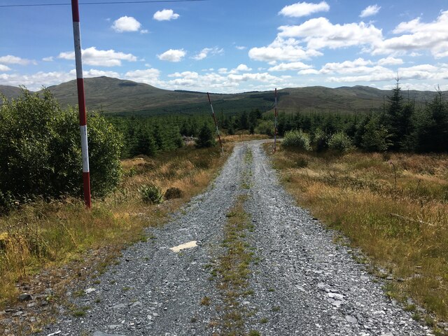
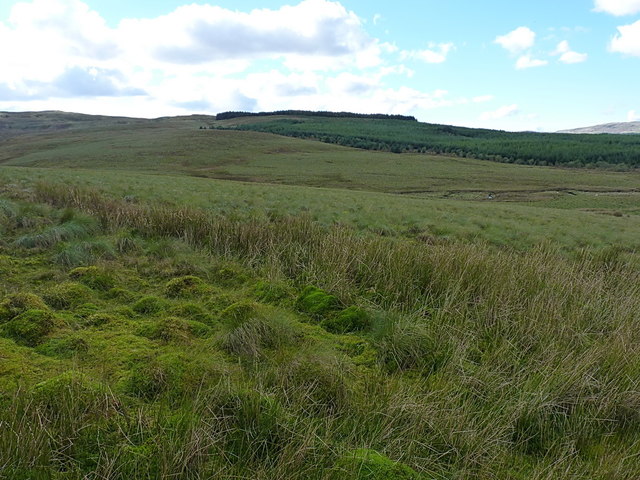
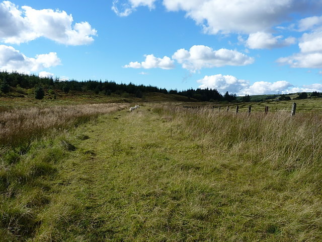
Bryn yr Helfa boasts a diverse range of natural features, including steep slopes, rocky outcrops, and lush greenery. Its distinctive shape and prominent position make it a popular destination for hikers, mountaineers, and nature enthusiasts. The summit offers panoramic views of the surrounding countryside, with glimpses of nearby mountains such as Snowdon and Cadair Idris.
The hill is also home to a variety of wildlife, including birds of prey, mountain sheep, and various plant species. Its unique ecosystem provides habitat for many rare and protected species, and conservation efforts are in place to preserve the natural environment.
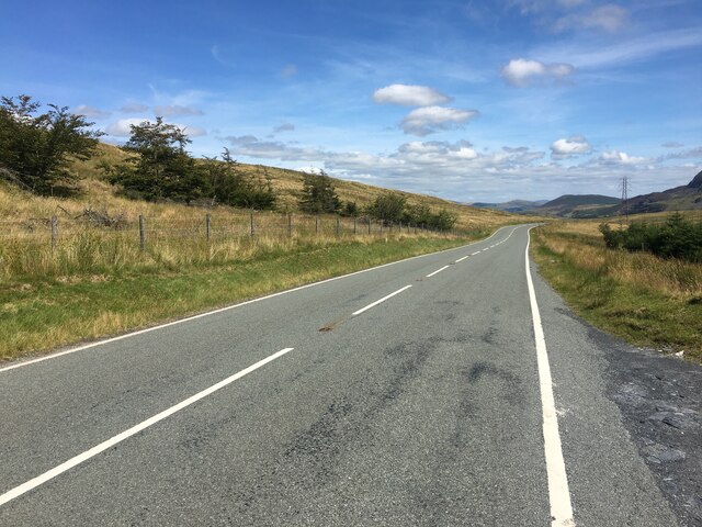
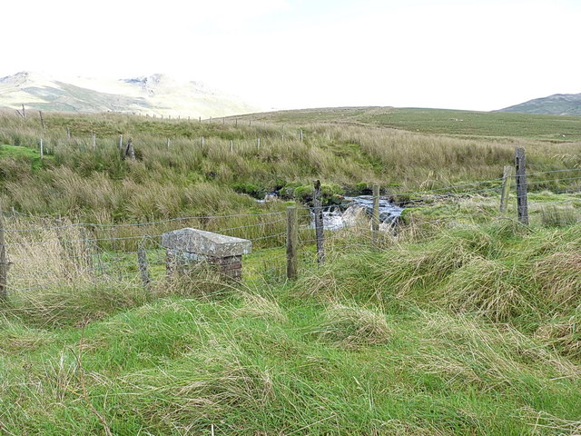
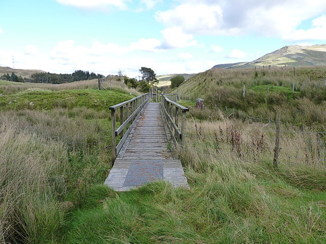
Access to Bryn yr Helfa is available via a network of footpaths and trails, allowing visitors to explore the hill's beauty at their own pace. The area is well-maintained and offers opportunities for outdoor activities such as hiking, photography, and birdwatching.
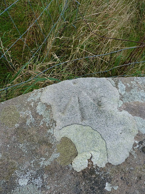
Bryn yr Helfa holds historical significance as well, with traces of ancient settlements and landmarks scattered across its slopes. These remnants serve as a reminder of the hill's rich cultural heritage and add an additional layer of interest for those exploring the area.
Overall, Bryn yr Helfa is a captivating natural landmark that showcases the beauty and diversity of the Merionethshire countryside.
If you have any feedback on the listing, please let us know in the comments section below.
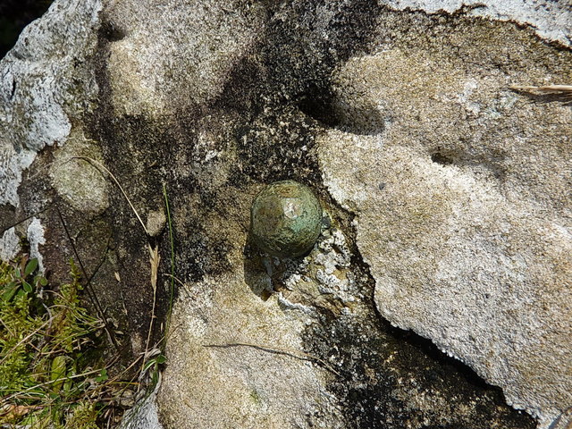
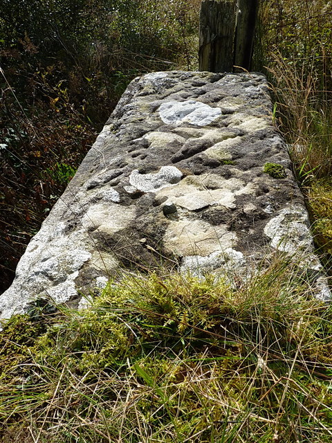
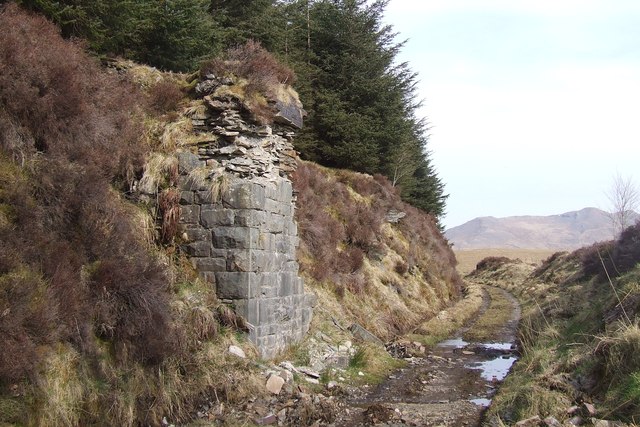
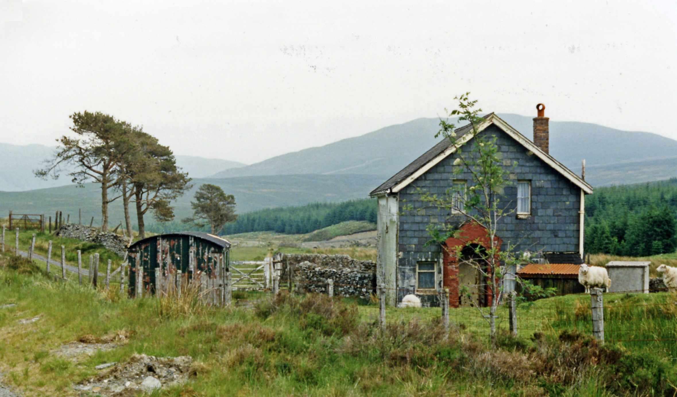
Bryn yr Helfa Images
Images are sourced within 2km of 52.924539/-3.8179392 or Grid Reference SH7737. Thanks to Geograph Open Source API. All images are credited.


Bryn yr Helfa is located at Grid Ref: SH7737 (Lat: 52.924539, Lng: -3.8179392)
Unitary Authority: Gwynedd
Police Authority: North Wales
What 3 Words
///furniture.reclaimed.opera. Near Trawsfynydd, Gwynedd
Nearby Locations
Related Wikis
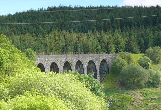
Cwm Prysor Viaduct
Cwm Prysor Viaduct, which is occasionally referred to as Blaen-y-Cwm Viaduct, is a railway viaduct which crosses the Afon Prysor in thinly populated uplands...
Cwm Prysor Halt railway station
Cwm Prysor Halt (named simply Cwm Prysor until 1953) was a railway station which served the remote rural area of Cwm Prysor, east of Trawsfynydd, Gwynedd...

Bryn-Celynog Halt railway station
Bryn-Celynog Halt (sometimes written as Bryncelynog Halt) was an unstaffed solely passenger railway station which served the rural area of Bryn-Celynog...

Snowdonia
Snowdonia, or Eryri (pronounced [ɛrəri] ), is a mountainous region and national park in northwestern Wales. It contains all 15 mountains in Wales over...

Moel Llyfnant
Moel Llyfnant is a mountain in the southern portion of the Snowdonia National Park in Gwynedd, Wales. It is a peak in the Arenig mountain range. It lies...
Llafar Halt railway station
Llafar Halt was an unstaffed solely passenger railway station which served the rural area of Glanllafar, east of Trawsfynydd, Gwynedd, Wales. == Origins... ==
Foel Boeth
Foel Boeth is the twin top of Gallt y Daren in the southern half of the Snowdonia National Park in Gwynedd, North Wales, and forms part of the Arenig mountain...

Gallt y Daren
Gallt y Daren is a peak in the southern half of the Snowdonia National Park in Gwynedd, North Wales, and forms part of the Arenig mountain range. It is...
Nearby Amenities
Located within 500m of 52.924539,-3.8179392Have you been to Bryn yr Helfa?
Leave your review of Bryn yr Helfa below (or comments, questions and feedback).