Bardarroch Hill

Hill, Mountain in Kirkcudbrightshire

Scotland

Bardarroch Hill
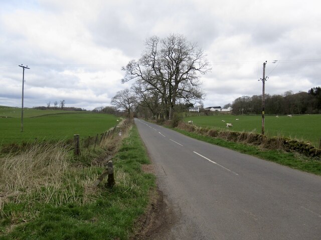
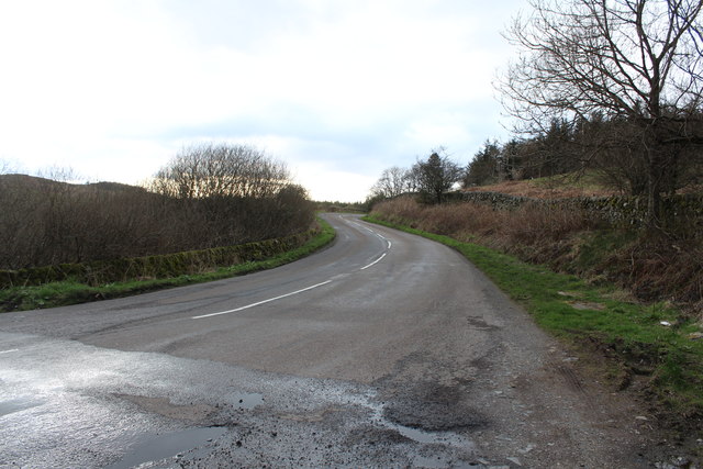
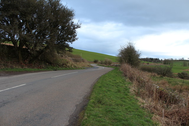
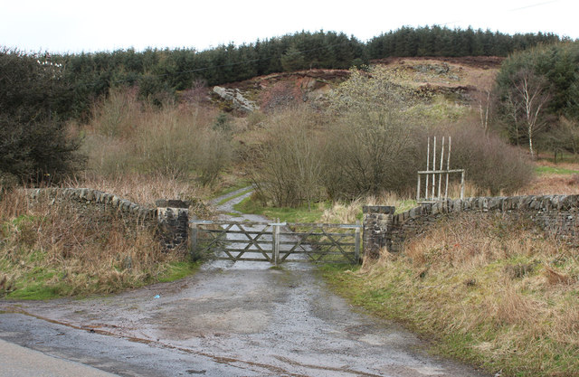
B794 Near Walton Park.
B794 Credit: Richard Webb

The requested URL returned error: 429 Too Many Requests

If you have any feedback on the listing, please let us know in the comments section below.

Bardarroch Hill Images

Images are sourced within 2km of 55.032301/-3.9167047 or Grid Reference NX7772. Thanks to Geograph Open Source API. All images are credited.

B794 Near Walton Park.
B794
Near Walton Park.
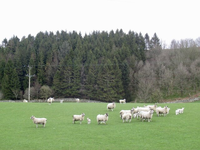
Sheep, Walton Park Alert as there was a quadbike heading for their field.
Sheep, Walton Park
Alert as there was a quadbike heading for their field.
A712 to Corsock
A712 to Corsock
A712 to Crocketford
A712 to Crocketford
Farmland at Townhead Cottage
Track at Crofts Hill
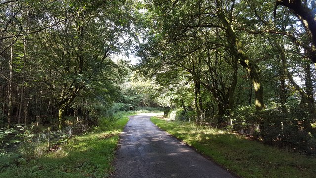
Road through the trees A minor road north of Kirkpatrick Durham.
Road through the trees
A minor road north of Kirkpatrick Durham.
Approaching Crofts Farm
Last rusting place
Last rusting place
Road to Culfad
Road to Culfad
Barbain
Barbain
Cairn on Wall Hill Prominent cairn on the top of Wall Hill. There are no markings or inscriptions on it.
Cairn on Wall Hill
Prominent cairn on the top of Wall Hill. There are no markings or inscriptions on it.
Cairn on Bardarroch Hill
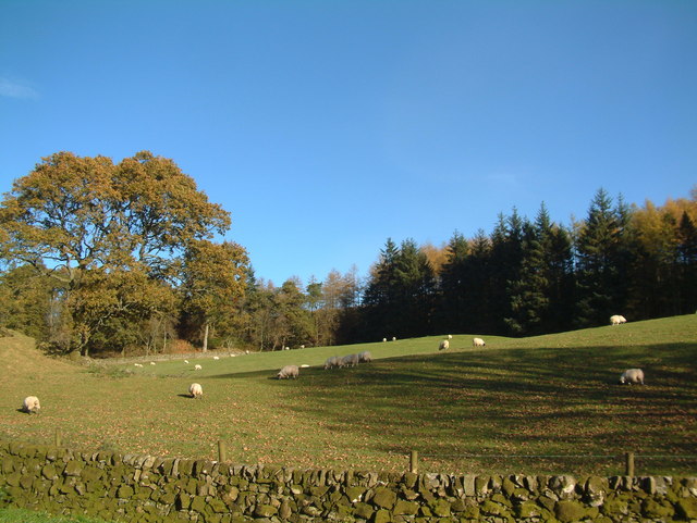
Inquisitive sheep These sheep seemed very interested in having their photographs taken.
Inquisitive sheep
These sheep seemed very interested in having their photographs taken.
Walls above Pipercroft Loch Drystone walls above Pipercroft Loch.
Walls above Pipercroft Loch
Drystone walls above Pipercroft Loch.
Pipercroft Loch
Pipercroft Loch
Fields near Blackhall Farm
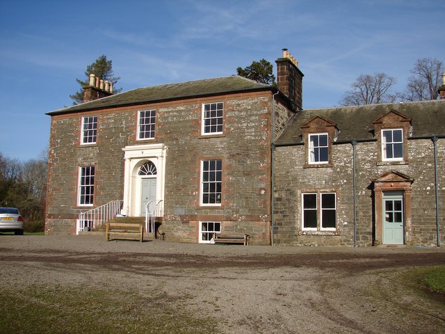
Crofts Farm
Crofts Farm
Show me another place!

Bardarroch Hill is located at Grid Ref: NX7772 (Lat: 55.032301, Lng: -3.9167047)

Unitary Authority: Dumfries and Galloway

Police Authority: Dumfries and Galloway

What 3 Words

///coining.fades.baroness. Near Castle Douglas, Dumfries & Galloway

Related Wikis

Glenlair House

Glenlair, near the village of Corsock in the historical county of Kirkcudbrightshire, in Dumfries and Galloway, was the home of the physicist James Clerk...

Kilquhanity School

Kilquhanity School was one of several free schools to have been established in the United Kingdom in the twentieth century. Others include Sands School...

Kirkpatrick Durham

Kirkpatrick Durham (Scottish Gaelic: Cill Phàdraig) is a village and parish in the historical county of Kirkcudbrightshire, Dumfries and Galloway, south...

Springholm

Springholm is a village in the historical county of Kirkcudbrightshire in Dumfries and Galloway, Scotland. It is located 14 miles (23 km) west of Dumfries...

Nearby Amenities

Located within 500m of 55.032301,-3.9167047
Bardarroch Hill
Ele: 212
Natural: peak
Source: os7
Lat/Long: 55.0315404/-3.9169303
Power: pole
Lat/Long: 55.0316545/-3.9096243
Power: pole
Lat/Long: 55.032508/-3.9090804
Power: pole
Lat/Long: 55.0333237/-3.9091144
Man Made: cairn
Lat/Long: 55.0349081/-3.9136504
The data included in this document is from www.openstreetmap.org. The data is made available under ODbL.

Have you been to Bardarroch Hill?

Leave your review of Bardarroch Hill below (or comments, questions and feedback).