Gillies Hill
Hill, Mountain in Stirlingshire
Scotland
Gillies Hill
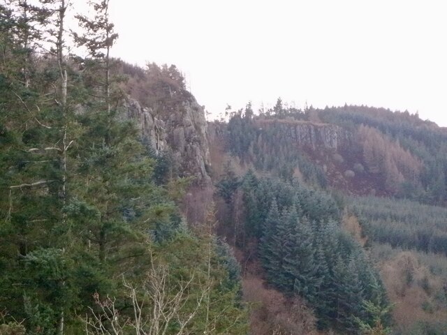
Gillies Hill is a prominent landmark located in Stirlingshire, Scotland. Rising to a height of around 274 meters (899 feet), it is classified as a hill rather than a mountain. Situated near the town of Cambusbarron, Gillies Hill offers stunning panoramic views of the surrounding countryside, including the city of Stirling and the famous Stirling Castle.
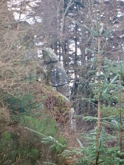
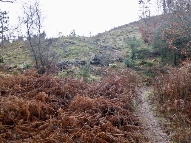
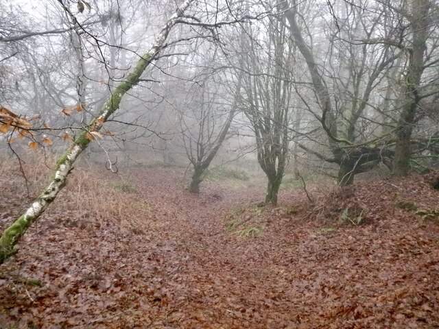
The hillside is covered with a mixture of woodland and heathland, providing a diverse habitat for various flora and fauna. Ancient oak trees can be found scattered across the hill, contributing to its natural beauty and historical significance. In fact, Gillies Hill is known for its rich archaeological heritage, as it was once the site of a significant Iron Age hillfort. The remains of the fort, including defensive ditches and ramparts, are still visible today.
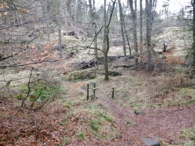
Due to its historical significance and natural beauty, Gillies Hill is a popular destination for outdoor enthusiasts. The hill offers several walking trails and paths, allowing visitors to explore its diverse landscapes at their own pace. It is a particularly popular spot for walkers, hikers, and nature lovers who appreciate the tranquility and serenity of the area.
Gillies Hill also holds cultural importance, as it was the site of the Battle of Bannockburn in 1314. This historic battle, fought between the Kingdom of Scotland and the Kingdom of England, marked a significant turning point in the Scottish Wars of Independence.
Overall, Gillies Hill is a picturesque and historically significant landmark, attracting visitors with its natural beauty, archaeological remains, and panoramic views.
If you have any feedback on the listing, please let us know in the comments section below.
Gillies Hill Images
Images are sourced within 2km of 56.101535/-3.9765718 or Grid Reference NS7791. Thanks to Geograph Open Source API. All images are credited.


Gillies Hill is located at Grid Ref: NS7791 (Lat: 56.101535, Lng: -3.9765718)
Unitary Authority: Stirling
Police Authority: Forth Valley
What 3 Words
///horns.stays.curve. Near Stirling
Nearby Locations
Related Wikis

Gillies Hill
Gillies Hill is located west of Stirling and the M9, south of Cambusbarron, and north of the Bannock Burn in Central Scotland. Gillies Hill covers a 140...

Cambusbarron
Cambusbarron is a village in Stirling, Scotland. In the 2001 census, it had a population of 3,224. There is evidence of settlement at the site since the...

Birkhill House, Stirling
Birkhill House is a historic house situated between the city of Stirling and the village of Cambusbarron in central Scotland. == History == There is evidence...
Torbrex Village
Torbrex is a small village in Scotland. Geographically Torbrex is enclosed within Stirling by Cambusbarron to the west, St. Ninians to the south, Livlilands...
Stirling High School
Stirling High School is a state high school for 11- to 18-year-olds run by Stirling Council in Stirling, Scotland. It is one of seven high schools in...
Touch House
Touch House is a country house located 4 kilometres (2.5 mi) west of Stirling in central Scotland. It stands at the foot of the Touch Hills, on the south...

St. Ninians
St. Ninians is a long-standing settlement which is now a district of the city of Stirling in central Scotland. It is located approximately one mile south...
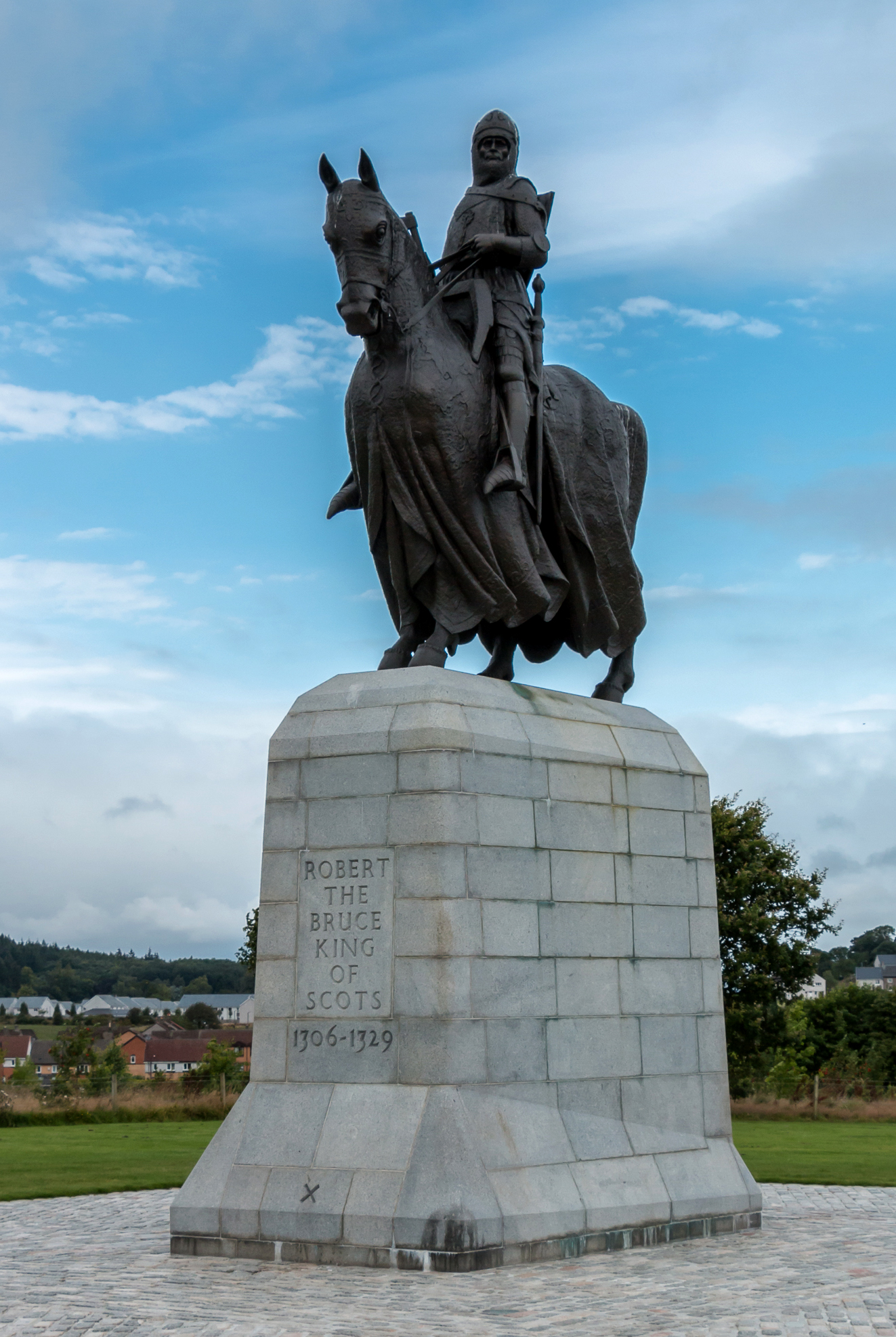
Equestrian statue of Robert the Bruce, Bannockburn
The equestrian statue of Robert the Bruce at the Bannockburn Visitor Centre, Bannockburn, Stirling, is a 1964 work by Pilkington Jackson. == Description... ==
Nearby Amenities
Located within 500m of 56.101535,-3.9765718Have you been to Gillies Hill?
Leave your review of Gillies Hill below (or comments, questions and feedback).