Holme Green

Settlement in Yorkshire Selby

England

Holme Green

Nun Appleton Hall, Nun Appleton Estate A Sam Smith's Brewery  owned estate.
Nun Appleton Hall, Nun Appleton Estate Credit: Ian S

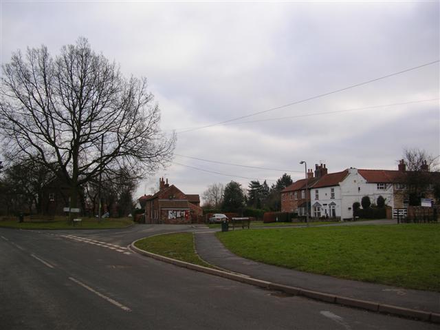
Holme Green is a charming village located in the picturesque region of Yorkshire, England. Situated in the heart of the county, it is surrounded by rolling green hills and offers breathtaking views of the countryside. With a population of around 500 residents, it maintains a close-knit community atmosphere.

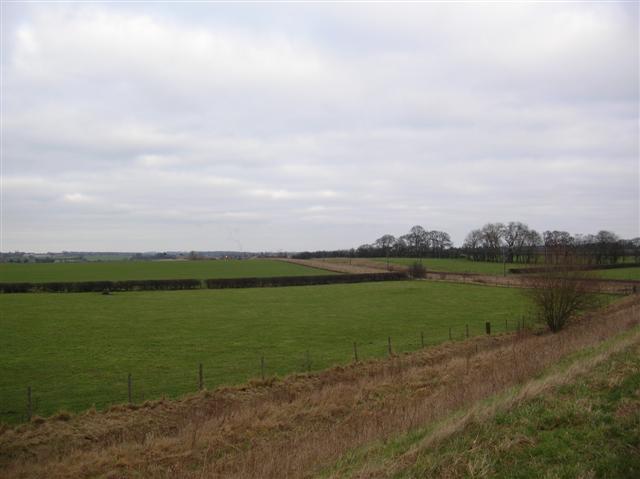
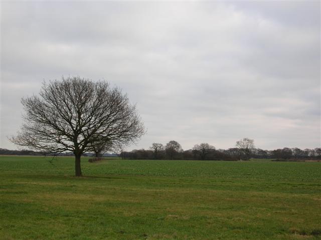
The village is known for its peaceful and idyllic setting, making it a popular destination for those seeking a tranquil retreat. The local architecture reflects the traditional Yorkshire style, with quaint stone cottages and well-maintained gardens dotting the landscape.

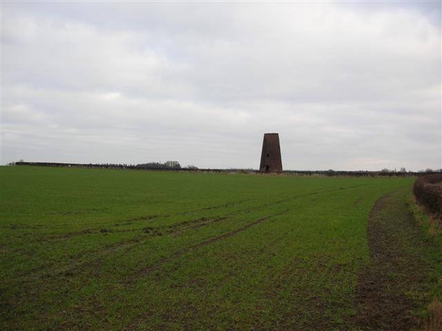
Holme Green benefits from its close proximity to nature, as it is situated near several beautiful parks and nature reserves. Residents and visitors alike can enjoy leisurely walks along scenic trails or indulge in outdoor activities such as birdwatching and fishing.

Despite its small size, the village boasts a few amenities to cater to its residents' needs. These include a local pub, a village shop, and a primary school. For additional amenities and services, the nearby town of Harrogate is easily accessible.

For those interested in history, Holme Green offers a glimpse into the past with its ancient church and historic landmarks. The village is steeped in heritage, with evidence of its rich history dating back centuries.

Overall, Holme Green is a delightful village that encapsulates the beauty and charm of rural Yorkshire. Its stunning surroundings, strong sense of community, and historical significance make it a truly special place to visit or call home.

If you have any feedback on the listing, please let us know in the comments section below.
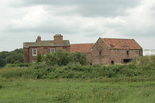
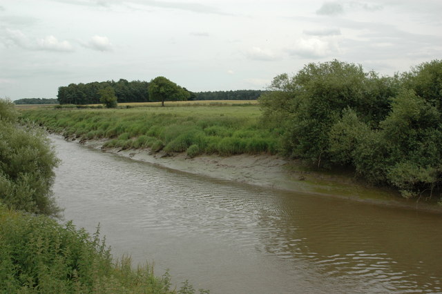
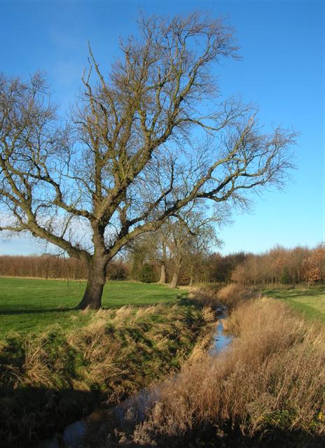
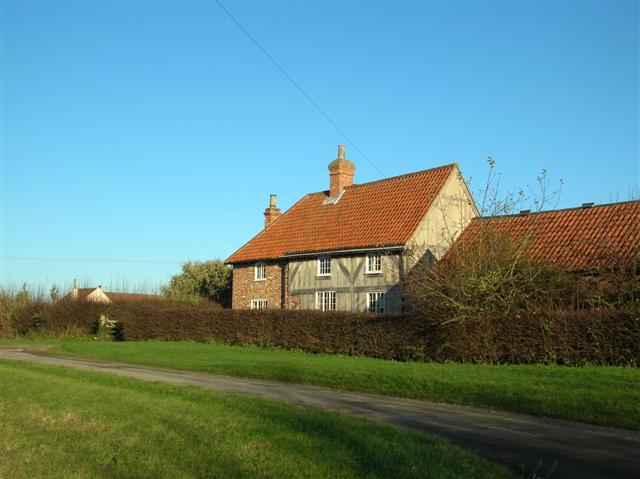
Holme Green Images

Images are sourced within 2km of 53.867994/-1.155185 or Grid Reference SE5541. Thanks to Geograph Open Source API. All images are credited.

Nun Appleton Hall, Nun Appleton Estate A Sam Smith's Brewery  owned estate.
Nun Appleton Hall, Nun Appleton Estate
A Sam Smith's Brewery owned estate.
Nun Appleton Hall, Nun Appleton Estate A Sam Smith's Brewery owned estate.
Nun Appleton Hall, Nun Appleton Estate
A Sam Smith's Brewery owned estate.
Crossing over the railway Railway is on the right, and this is from the road crossing it.
Crossing over the railway
Railway is on the right, and this is from the road crossing it.
Old Windmill Close to Appleton Roebuck. This windmill is marked as 'old' on the 1940's OS map as well as the current map.
Old Windmill
Close to Appleton Roebuck. This windmill is marked as 'old' on the 1940's OS map as well as the current map.
Appleton Roebuck The Post Office is in the centre of the picture.
Appleton Roebuck
The Post Office is in the centre of the picture.
All Saints Church All Saints Church, Appleton Roebuck.
All Saints Church
All Saints Church, Appleton Roebuck.
Appleton Roebuck Farmland on the road out of Appleton Roebuck towards Acaster Malbis.
Appleton Roebuck
Farmland on the road out of Appleton Roebuck towards Acaster Malbis.
Tree lined drive The driveway to Woolas Hall Farm, near Appleton Roebuck.
Tree lined drive
The driveway to Woolas Hall Farm, near Appleton Roebuck.
Ozendyke Ings Taken from a train on the East Coast Main Line, the  fence in the foreground is on the side of the railway bridge which allows flood water to pass underneath. See <a href="https://www.geograph.org.uk/photo/159372">SE5440 : Floods at Ozendyke Ings</a> for view of it in flood.
Ozendyke Ings
Taken from a train on the East Coast Main Line, the fence in the foreground is on the side of the railway bridge which allows flood water to pass underneath. See SE5440 : Floods at Ozendyke Ings for view of it in flood.
Floods at Ozendyke Ings The River Wharfe, behind the trees in the distance, had overflowed its bank flooding these fields for over a week! See <a href="https://www.geograph.org.uk/photo/159371">SE5440 : Ozendyke Ings</a> for a view after the flood subsided.
Floods at Ozendyke Ings
The River Wharfe, behind the trees in the distance, had overflowed its bank flooding these fields for over a week! See SE5440 : Ozendyke Ings for a view after the flood subsided.
College Farm, Acaster Selby Acaster Selby is a small riverside village south of York and the Selby part of the name comes from a grange of Selby Abbey having been here before the dissolution. College Farm dates from before 1829 and is a fine building which is currently empty. There are two massive brick barns, one of similar date and one which appears earlier. A few hundred yards away is the site of the college, a pre-reformation school dissolved under the Chantries Act (as it also was one) and now represented by bumps in a field.
College Farm, Acaster Selby
Acaster Selby is a small riverside village south of York and the Selby part of the name comes from a grange of Selby Abbey having been here before the dissolution. College Farm dates from before 1829 and is a fine building which is currently empty. There are two massive brick barns, one of similar date and one which appears earlier. A few hundred yards away is the site of the college, a pre-reformation school dissolved under the Chantries Act (as it also was one) and now represented by bumps in a field.
River Ouse, Acaster Selby There was once a ferry here linking to Stillingfleet, on the opposite bank. On Boxing Day 1833 the ferry sank whilst carrying Stilligfleet church choir  and eleven people were drowned, mostly teenage girls and a disaster for a small village which is still remembered today. Subsequently the ferry, which took an oblique course across the river, was moved to a more direct course slightly further upstream and is now no more.

The Ouse is tidal at this point and a navigation demanding some care; before the coming of railways, and indeed for many years after, it was a very busy commercial waterway.
River Ouse, Acaster Selby
There was once a ferry here linking to Stillingfleet, on the opposite bank. On Boxing Day 1833 the ferry sank whilst carrying Stilligfleet church choir and eleven people were drowned, mostly teenage girls and a disaster for a small village which is still remembered today. Subsequently the ferry, which took an oblique course across the river, was moved to a more direct course slightly further upstream and is now no more. The Ouse is tidal at this point and a navigation demanding some care; before the coming of railways, and indeed for many years after, it was a very busy commercial waterway.
Windmill An old windmill stands near the junction of New Road and Old Road.
Windmill
An old windmill stands near the junction of New Road and Old Road.
Tree lined road from Bolton Percy This road leads to Oak Avenue.
Tree lined road from Bolton Percy
This road leads to Oak Avenue.
Oak Avenue The old and the new trees lining this avenue.
Oak Avenue
The old and the new trees lining this avenue.
Building at Longthwaite An outbuilding of Home Farm estate.
Building at Longthwaite
An outbuilding of Home Farm estate.
The Fleet This goit is called The Fleet and runs through Holme Green.
The Fleet
This goit is called The Fleet and runs through Holme Green.
Brick Yard Farm Situated in the tiny hamlet of Holme Green.
Brick Yard Farm
Situated in the tiny hamlet of Holme Green.
Show me another place!

Holme Green is located at Grid Ref: SE5541 (Lat: 53.867994, Lng: -1.155185)

Division: West Riding

Administrative County: North Yorkshire

District: Selby

Police Authority: North Yorkshire

What 3 Words

///language.miss.automate. Near Cawood, North Yorkshire

Related Wikis

Appleton Roebuck

Appleton Roebuck is a village and civil parish in the former Selby District of North Yorkshire, England. It had a population of 692 according to the 2001...
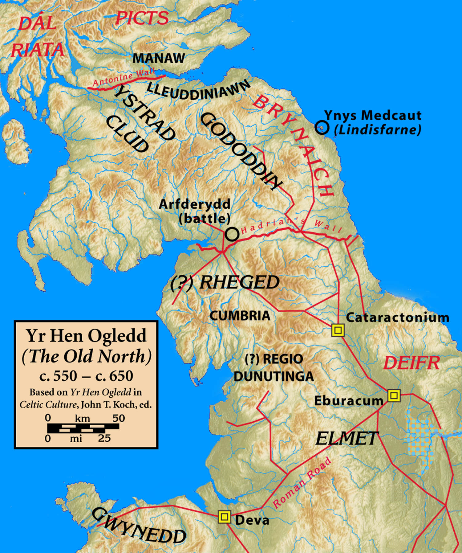
Elmet

Elmet (Welsh: Elfed), sometimes Elmed or Elmete, was an independent Brittonic Celtic Cumbric speaking kingdom between about the 4th century and mid 7th...

West Riding of Yorkshire

The West Riding of Yorkshire was one of three historic subdivisions of Yorkshire, England. From 1889 to 1974 the riding was an administrative county named...

Bishopthorpe Rural District

Bishopthorpe was a rural district in the West Riding of Yorkshire from 1894 to 1937. It was formed under the Local Government Act 1894 from that part of...

Nun Appleton Priory

Nun Appleton Priory was a priory near Appleton Roebuck, North Yorkshire, England. It was founded as a nunnery c. 1150, by Eustace de Merch and his wife...

Acaster Selby

Acaster Selby is a village in the former Selby District of North Yorkshire, England. It is part of the joint civil parish with Appleton Roebuck (where...

All Saints' Church, Ryther

All Saints' Church is the parish church of Ryther cum Ossendyke, a village north-west of Selby in Yorkshire, in England. The church was originally built...

Ryther cum Ossendyke

Ryther cum Ossendyke is a civil parish 6 miles (9.7 km) from Tadcaster and 6 miles (9.7 km) from Selby, North Yorkshire, England. It includes the village...

Nearby Amenities

Located within 500m of 53.867994,-1.155185
Holme Green
Place: hamlet
Lat/Long: 53.8680539/-1.1567158
Turning Circle
Lat/Long: 53.8722451/-1.15758
Bench
Lat/Long: 53.8686373/-1.1570836
Barrier: stile
Dog Gate: yes
Step Count: 2
Stile: stepover
Lat/Long: 53.871974/-1.1573483
Barrier: stile
Dog Gate: yes
Step Count: 2
Stile: stepover
Lat/Long: 53.871969/-1.1570905
The data included in this document is from www.openstreetmap.org. The data is made available under ODbL.

Have you been to Holme Green?

Leave your review of Holme Green below (or comments, questions and feedback).