Bryn Glas

Hill, Mountain in Cardiganshire

Wales

Bryn Glas

Road to Nant y Moch reservoir
Road to Nant y Moch reservoir Credit: Alan Hughes

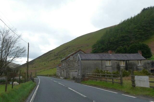
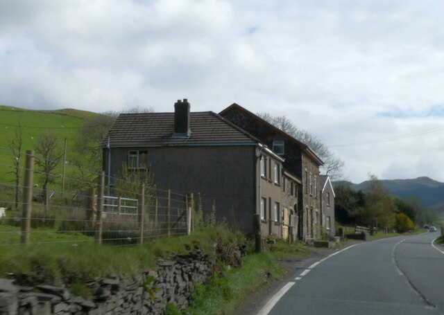
Bryn Glas is a prominent hill located in the county of Cardiganshire, Wales. Situated in the western part of the country, it offers breathtaking views and natural beauty to visitors and locals alike. With an elevation of approximately 400 meters (1,300 feet) above sea level, it stands as a notable landmark in the region.

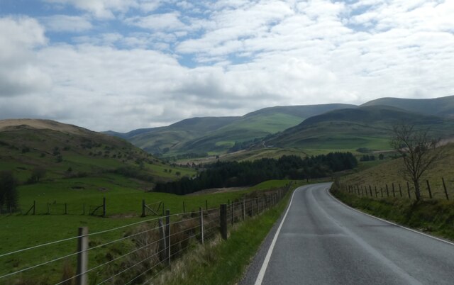
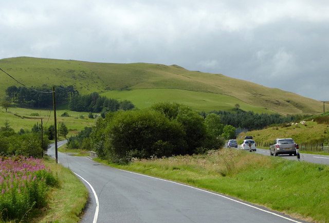
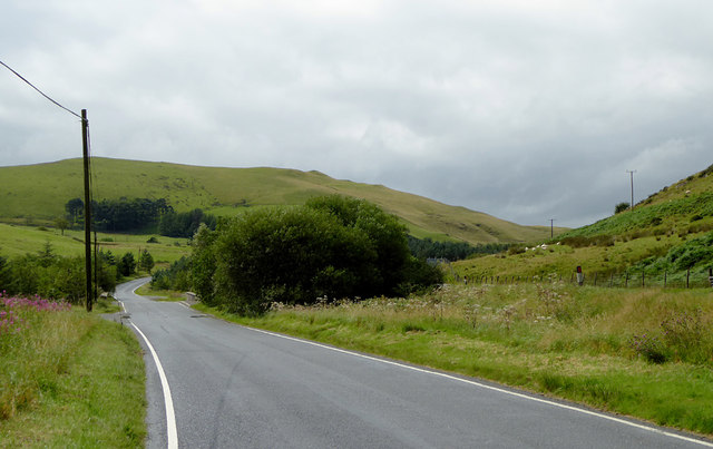
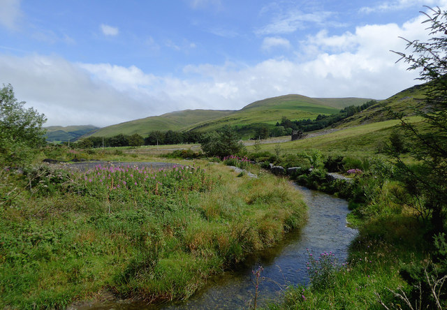
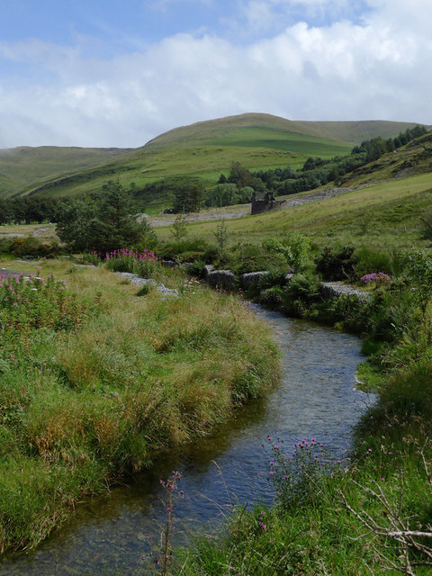
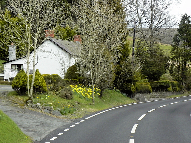
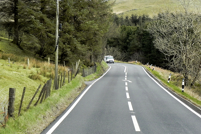
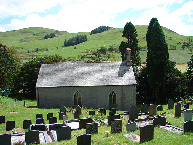
The hill is characterized by its rolling slopes and lush greenery, which is typical of the Welsh countryside. Its summit provides a panoramic view of the surrounding landscape, including the nearby Cardigan Bay and the quaint villages nestled at its foothills. On clear days, one can even catch a glimpse of the distant Snowdonia National Park.

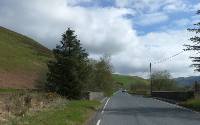
Bryn Glas is a popular destination for outdoor enthusiasts and nature lovers. Its well-maintained trails offer opportunities for hiking and walking, allowing visitors to immerse themselves in the tranquility of the Welsh countryside. The hill is also home to a diverse range of wildlife, including various bird species and mammals, making it an ideal spot for birdwatching and wildlife observation.

The hill is easily accessible, with a car park located at the base, providing convenient access to its trails. Local amenities such as cafes and picnic spots are available nearby, offering a chance to relax and enjoy the surroundings.

Overall, Bryn Glas is a picturesque and serene hill in Cardiganshire, Wales, offering visitors a chance to connect with nature and experience the beauty of the Welsh countryside.

If you have any feedback on the listing, please let us know in the comments section below.
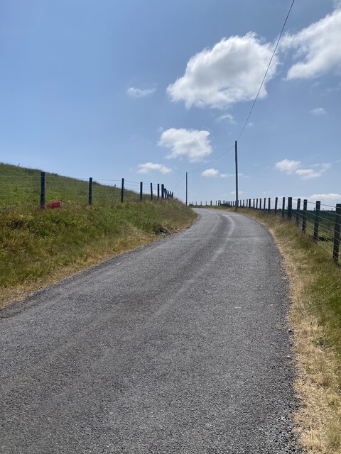
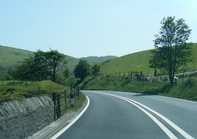
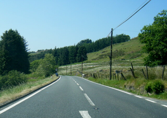
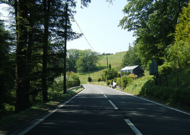
Bryn Glas Images

Images are sourced within 2km of 52.427031/-3.8108374 or Grid Reference SN7682. Thanks to Geograph Open Source API. All images are credited.

Road to Nant y Moch reservoir
Dinas Reservoir
Dinas Reservoir
A44 at Pont Nant Lladron
A44 nears Pont y Gelli
A44 approaching Ponterwyd
A44 in Dyffryn Castell
B4343 between moorland and grassland near Banc Bryn-chwith
Small bridge on the B4343 near Dyffryn Castell
Houses by A44 at  Dyffryn Castell
Houses by A44 at Dyffryn Castell
Roads near Dyffryn Castell, Ceredigion On the left is the B4343 short cut across the hill towards Devil's Bridge. It is a good road, well maintained. On the right is the A44 to Aberystwyth.
Roads near Dyffryn Castell, Ceredigion
On the left is the B4343 short cut across the hill towards Devil's Bridge. It is a good road, well maintained. On the right is the A44 to Aberystwyth.
B4343 to Devil's Bridge, Ceredigion This is the B4343 short cut across the hill towards Devil's Bridge. It is a good road, well maintained. On the right by the black and white marker post is the A44 to Aberystwyth.
B4343 to Devil's Bridge, Ceredigion
This is the B4343 short cut across the hill towards Devil's Bridge. It is a good road, well maintained. On the right by the black and white marker post is the A44 to Aberystwyth.
The B4343 to Devil's Bridge, Ceredigion It joins the A4120, then after Devil's Bridge, continues south towards Tregaron and Lampeter. Here it is crossing the Afon Castell.
The B4343 to Devil's Bridge, Ceredigion
It joins the A4120, then after Devil's Bridge, continues south towards Tregaron and Lampeter. Here it is crossing the Afon Castell.
The Afon Castell east of Ponterwyd, Ceredigion Looking upstream.
The Afon Castell east of Ponterwyd, Ceredigion
Looking upstream.
The Afon Castell east of Ponterwyd, Ceredigion Looking upstream.
The Afon Castell east of Ponterwyd, Ceredigion
Looking upstream.
Much water in the Hirnant
House on a Bend near Nant Cwta The A44 is a major road in the United Kingdom that runs for 155 miles from Oxford in southern England to Aberystwyth in west Wales.
<span class="nowrap"><a title="http://www.sabre-roads.org.uk/wiki/index.php?title=A44" rel="nofollow ugc noopener" href="http://www.sabre-roads.org.uk/wiki/index.php?title=A44">Link</a><img style="margin-left:2px;" alt="External link" title="External link - shift click to open in new window" src="https://s1.geograph.org.uk/img/external.png" width="10" height="10"/></span>  SABRE
<span class="nowrap"><a title="https://en.wikipedia.org/wiki/A44_road" rel="nofollow ugc noopener" href="https://en.wikipedia.org/wiki/A44_road">Link</a><img style="margin-left:2px;" alt="External link" title="External link - shift click to open in new window" src="https://s1.geograph.org.uk/img/external.png" width="10" height="10"/></span>  Wikipedia
House on a Bend near Nant Cwta
The A44 is a major road in the United Kingdom that runs for 155 miles from Oxford in southern England to Aberystwyth in west Wales. LinkExternal link SABRE LinkExternal link Wikipedia
A44, Glennydd
A44, Glennydd
Eastbound A44 near Derigalteisen The A44 is a major road in the United Kingdom that runs for 155 miles from Oxford in southern England to Aberystwyth in west Wales.
<span class="nowrap"><a title="http://www.sabre-roads.org.uk/wiki/index.php?title=A44" rel="nofollow ugc noopener" href="http://www.sabre-roads.org.uk/wiki/index.php?title=A44">Link</a><img style="margin-left:2px;" alt="External link" title="External link - shift click to open in new window" src="https://s1.geograph.org.uk/img/external.png" width="10" height="10"/></span>  SABRE
<span class="nowrap"><a title="https://en.wikipedia.org/wiki/A44_road" rel="nofollow ugc noopener" href="https://en.wikipedia.org/wiki/A44_road">Link</a><img style="margin-left:2px;" alt="External link" title="External link - shift click to open in new window" src="https://s1.geograph.org.uk/img/external.png" width="10" height="10"/></span>  Wikipedia
Eastbound A44 near Derigalteisen
The A44 is a major road in the United Kingdom that runs for 155 miles from Oxford in southern England to Aberystwyth in west Wales. LinkExternal link SABRE LinkExternal link Wikipedia
Show me another place!

Bryn Glas is located at Grid Ref: SN7682 (Lat: 52.427031, Lng: -3.8108374)

Unitary Authority: Ceredigion

Police Authority: Dyfed Powys

What 3 Words

///solid.corkscrew.cakes. Near Cwmystwyth, Ceredigion

Nearby Locations

Bryn Glas

Related Wikis

Blaenrheidol

Blaenrheidol is a community in the county of Ceredigion, North Wales. It lies in the Cambrian Mountains of Mid Wales, approximately 12 miles (19 km) east...

Ponterwyd

Ponterwyd is a village in Ceredigion, Wales. It lies in the Cambrian Mountains of Mid Wales, approximately 12 miles (19 km) east of Aberystwyth on the...

Y Garn (Plynlimon)

Y Garn is a subsidiary summit of Pen Pumlumon Fawr and the fourth highest peak on the Plynlimon massif, a part of the Cambrian Mountains in the county...

Y Glog (Draws Drum)

Y Glog or Draws Drum is a mountain situated in Ceredigion, Wales. It stands at an elevation of 574 metres (1883 feet) above sea level and is located a...

Eisteddfa Gurig

Eisteddfa Gurig is a hamlet located in Ceredigion on its border with Powys and situated along the A44. Its name comes from the Welsh word eisteddfa, meaning...

Elvis Rock

The Elvis Rock is a rock alongside the A44 in Powys, Wales, near its border with Ceredigion. It is one of the most well known pieces of graffiti in Wales...

Troed-yr-hen-riw

Troed-yr-hen-riw is a hamlet in the community of Blaenrheidol, Ceredigion, Wales, which is 70 miles (112.6 km) from Cardiff and 170.2 miles (273.8 km)...

Ysbyty Cynfyn

Ysbyty Cynfyn is a hamlet in the community of Blaenrheidol, Ceredigion, Wales, which is 69.1 miles (111.3 km) from Cardiff and 169.3 miles (272.4 km)...

Nearby Amenities

Located within 500m of 52.427031,-3.8108374
Bryn Glas
Created By: POI Editor
Ele: 521
Natural: peak
Source: npe
Lat/Long: 52.4268677/-3.8111257
The data included in this document is from www.openstreetmap.org. The data is made available under ODbL.

Have you been to Bryn Glas?

Leave your review of Bryn Glas below (or comments, questions and feedback).