Bryn Tudur
Hill, Mountain in Montgomeryshire
Wales
Bryn Tudur

The requested URL returned error: 429 Too Many Requests
If you have any feedback on the listing, please let us know in the comments section below.
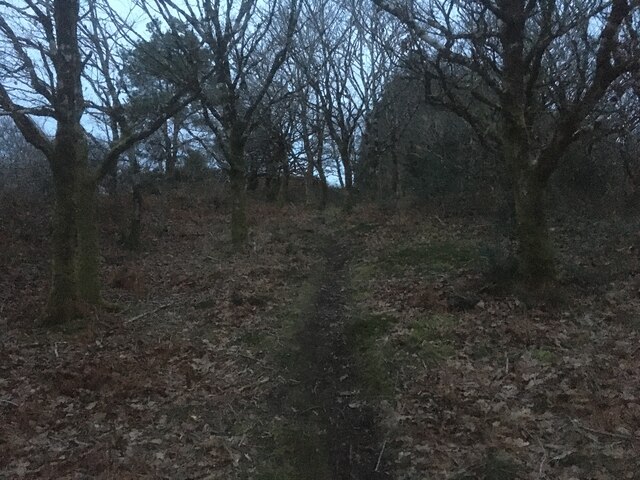
Bryn Tudur Images
Images are sourced within 2km of 52.596675/-3.8207507 or Grid Reference SH7601. Thanks to Geograph Open Source API. All images are credited.


Bryn Tudur is located at Grid Ref: SH7601 (Lat: 52.596675, Lng: -3.8207507)
Unitary Authority: Powys
Police Authority: Dyfed Powys
What 3 Words
///degrading.dart.majority. Near Machynlleth, Powys
Nearby Locations
Related Wikis

Penegoes
Penegoes () is a village in Powys, Wales, between Cemmaes Road and Machynlleth, on the A489 road, and the primary settlement of the community of Cadfarch...
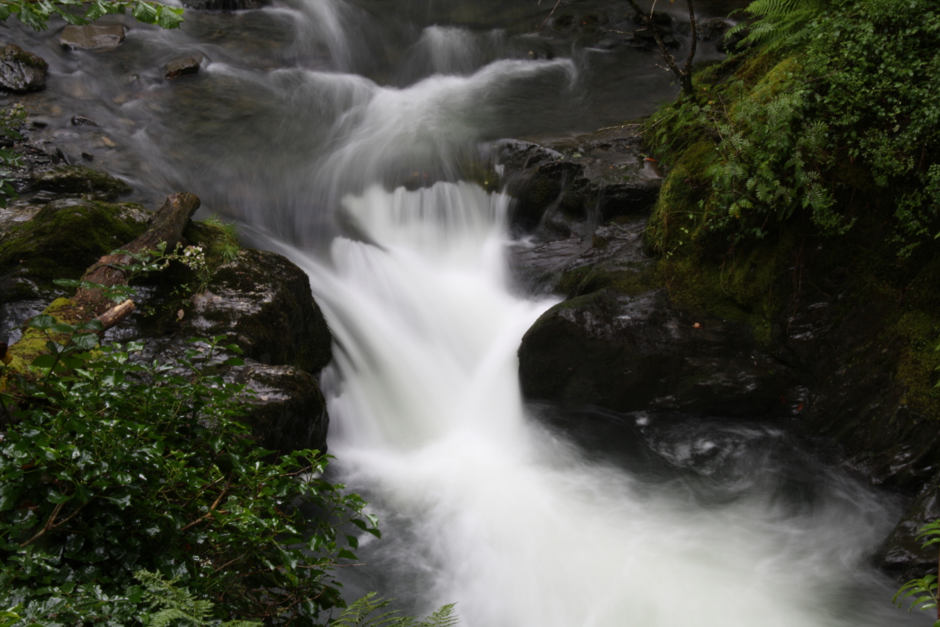
Afon Dulas
The Afon Dulas, or North Dulas, is a river forming the border between Merionethshire/Gwynedd and Montgomeryshire/Powys in Wales. Another river called Afon...
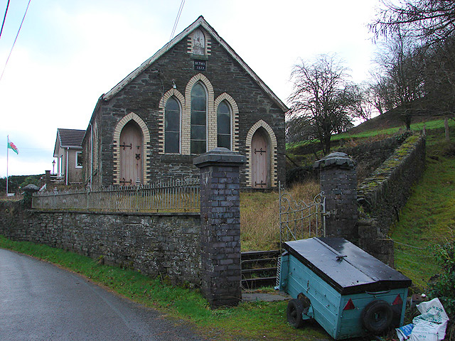
Forge, Powys
Forge (Welsh: "Y Bontfaen") is a village in the county of Powys, Wales near to Machynlleth. It lies on the southern Afon Dulas on the mountain road to...
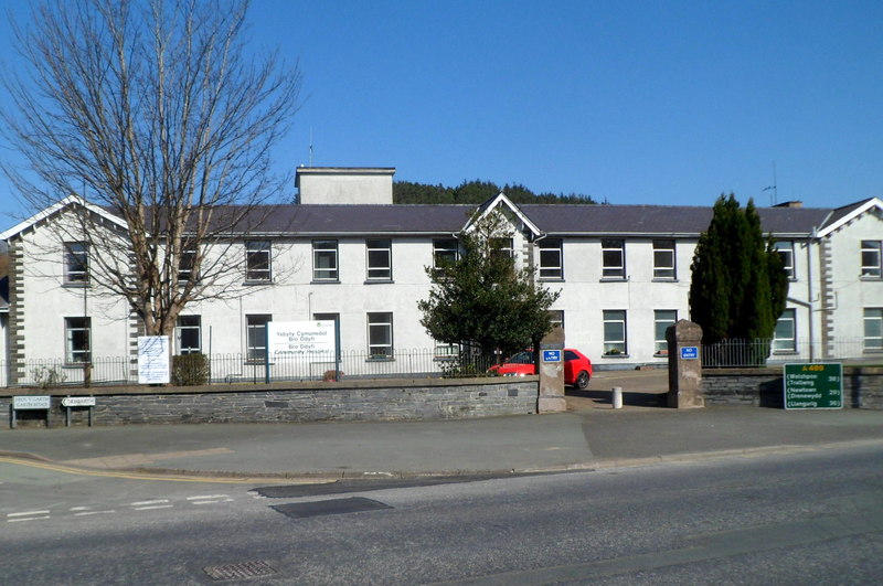
Bro Ddyfi Community Hospital
Bro Ddyfi Community Hospital (Welsh: Ysbyty Cymuned Bro Ddyfi) is a health facility in Heol Maengwyn, Machynlleth, Powys, Wales. It is managed by the Powys...
Nearby Amenities
Located within 500m of 52.596675,-3.8207507Have you been to Bryn Tudur?
Leave your review of Bryn Tudur below (or comments, questions and feedback).