Gateside Hill
Hill, Mountain in Kirkcudbrightshire
Scotland
Gateside Hill
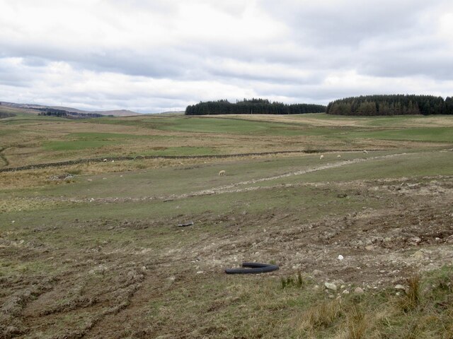
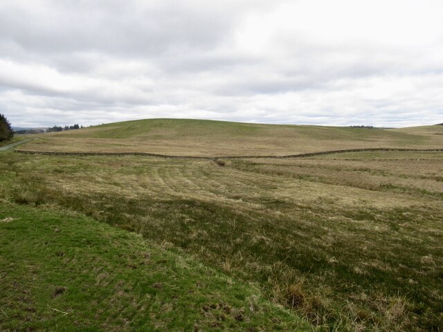
Gateside Hill is a prominent hill located in Kirkcudbrightshire, Scotland. Situated near the town of Gatehouse of Fleet, it is a significant landmark in the region. Rising to an elevation of approximately 396 meters (1,299 feet), Gateside Hill offers breathtaking panoramic views of the surrounding countryside.
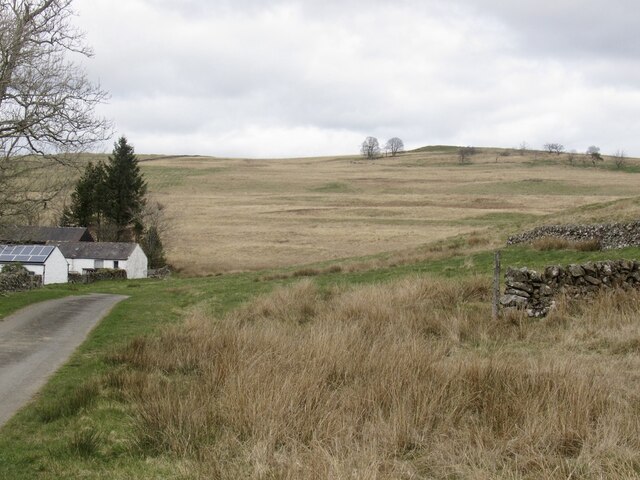
The hill is known for its distinctive shape, characterized by a gently sloping southern face and a steeper northern slope. Its summit is marked by a large cairn, which serves as a navigational landmark for hikers and climbers. The ascent to the top of Gateside Hill is relatively straightforward, with well-defined paths leading to the summit.
The hill is encompassed by diverse vegetation, including heather and grasses, which create a colorful and vibrant landscape during the summer months. It is also home to a variety of wildlife, including birds of prey, such as buzzards and kestrels, as well as smaller mammals like rabbits and hares.
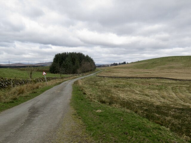
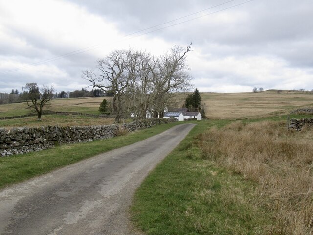
Gateside Hill is a popular destination for outdoor enthusiasts, attracting hikers, walkers, and nature lovers throughout the year. Its accessibility and moderate difficulty level make it suitable for individuals of various fitness levels. The hill offers an excellent opportunity for outdoor recreation, with a network of trails and paths inviting exploration and adventure.
Overall, Gateside Hill is a notable geographical feature in Kirkcudbrightshire, offering stunning views, diverse flora and fauna, and an enjoyable outdoor experience for visitors and locals alike.
If you have any feedback on the listing, please let us know in the comments section below.
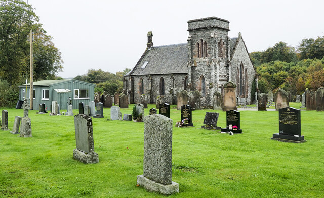
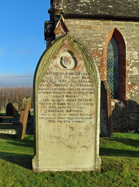
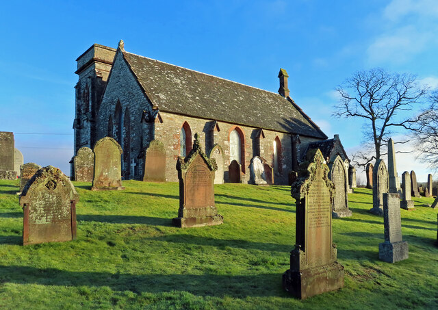
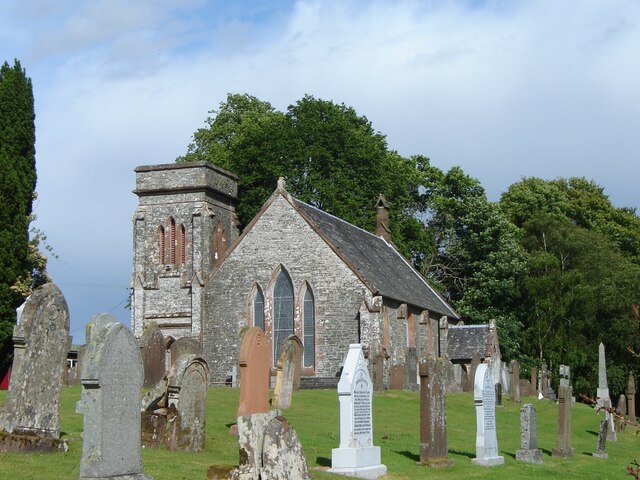
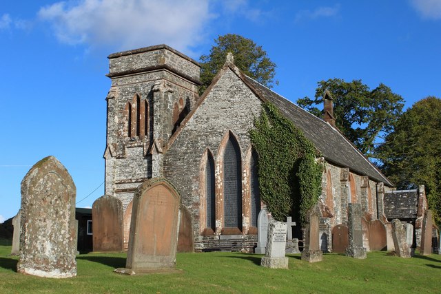
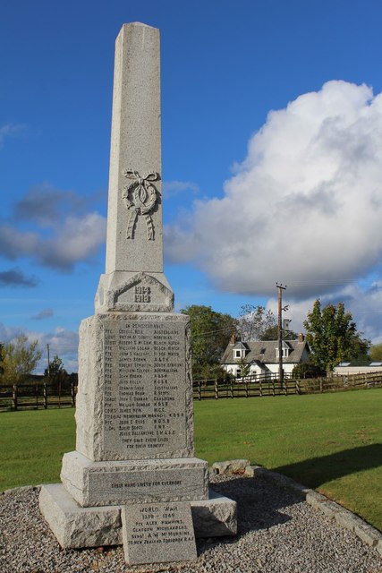
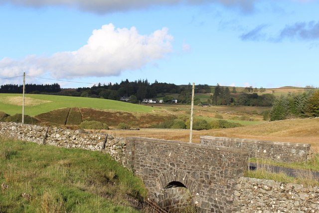
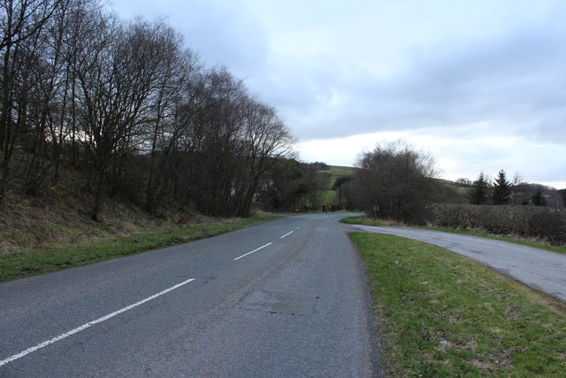
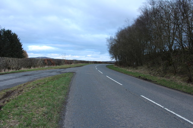
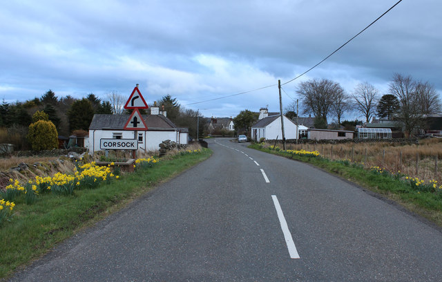
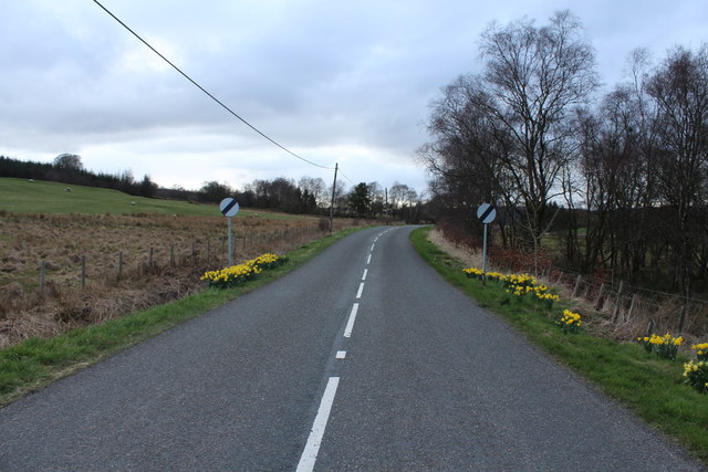
Gateside Hill Images
Images are sourced within 2km of 55.079814/-3.9431501 or Grid Reference NX7677. Thanks to Geograph Open Source API. All images are credited.
Gateside Hill is located at Grid Ref: NX7677 (Lat: 55.079814, Lng: -3.9431501)
Unitary Authority: Dumfries and Galloway
Police Authority: Dumfries and Galloway
What 3 Words
///searcher.bonkers.cobbled. Near Castle Douglas, Dumfries & Galloway
Nearby Locations
Related Wikis

Corsock
Corsock (Scottish Gaelic: Corsag) is a village in the historical county of Kirkcudbrightshire, Dumfries and Galloway, south-west Scotland. It is located...

Dumfries and Galloway
Dumfries and Galloway (Scots: Dumfries an Gallowa; Scottish Gaelic: Dùn Phrìs is Gall-Ghaidhealaibh) is one of the 32 unitary council areas of Scotland...

Craigenputtock
Craigenputtock (usually spelled by the Carlyles as Craigenputtoch) is an estate in Scotland where Thomas Carlyle lived from 1828 to 1834. He wrote several...

Glenlair House
Glenlair, near the village of Corsock in the historical county of Kirkcudbrightshire, in Dumfries and Galloway, was the home of the physicist James Clerk...

Kilquhanity School
Kilquhanity School was one of several free schools to have been established in the United Kingdom in the twentieth century. Others include Sands School...

Loch Skae
Loch Skae is a small, upland freshwater loch to the north of Blackcraig Hill, approximately 18 miles (29 km) west of Dumfries, Scotland, 0.5 mi (0.80 km...

Glenkiln Sculpture Park
Glenkiln Sculpture Park was a sculpture landscape in the historic county of Kirkcudbrightshire in Dumfries and Galloway, south-west Scotland. After one...

Kirkpatrick Durham
Kirkpatrick Durham (Scottish Gaelic: Cill Phàdraig) is a village and parish in the historical county of Kirkcudbrightshire, Dumfries and Galloway, south...
Nearby Amenities
Located within 500m of 55.079814,-3.9431501Have you been to Gateside Hill?
Leave your review of Gateside Hill below (or comments, questions and feedback).