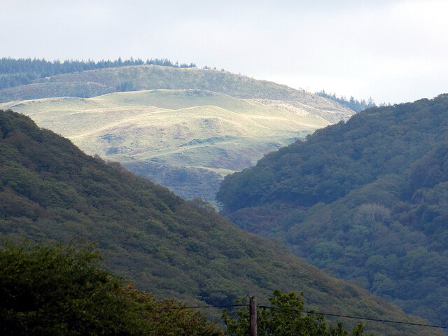
Banc y Bont
Hill, Mountain in Cardiganshire
Wales
Banc y Bont
The requested URL returned error: 429 Too Many Requests
If you have any feedback on the listing, please let us know in the comments section below.
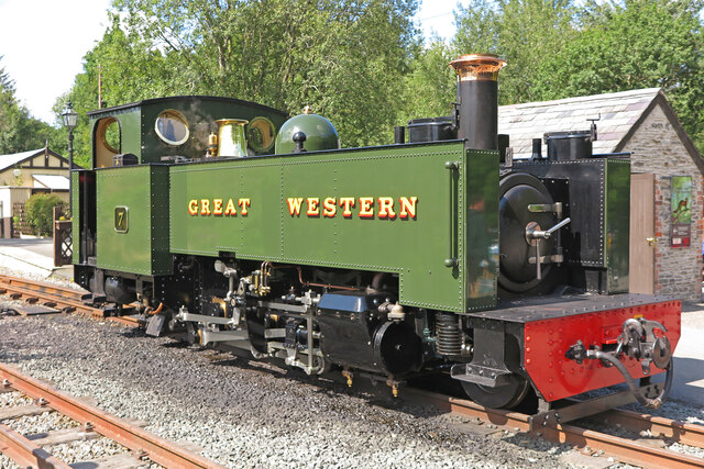
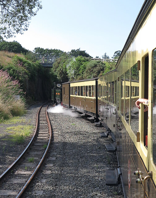
Banc y Bont Images
Images are sourced within 2km of 52.366431/-3.8375723 or Grid Reference SN7475. Thanks to Geograph Open Source API. All images are credited.


![Cwm Mynach Viewed from near Gwar-felin [cottage].](https://s2.geograph.org.uk/geophotos/07/19/16/7191674_e81e04e8.jpg)


Banc y Bont is located at Grid Ref: SN7475 (Lat: 52.366431, Lng: -3.8375723)
Unitary Authority: Ceredigion
Police Authority: Dyfed Powys
What 3 Words
///overpaid.pets.swimmer. Near Cwmystwyth, Ceredigion
Nearby Locations
Related Wikis
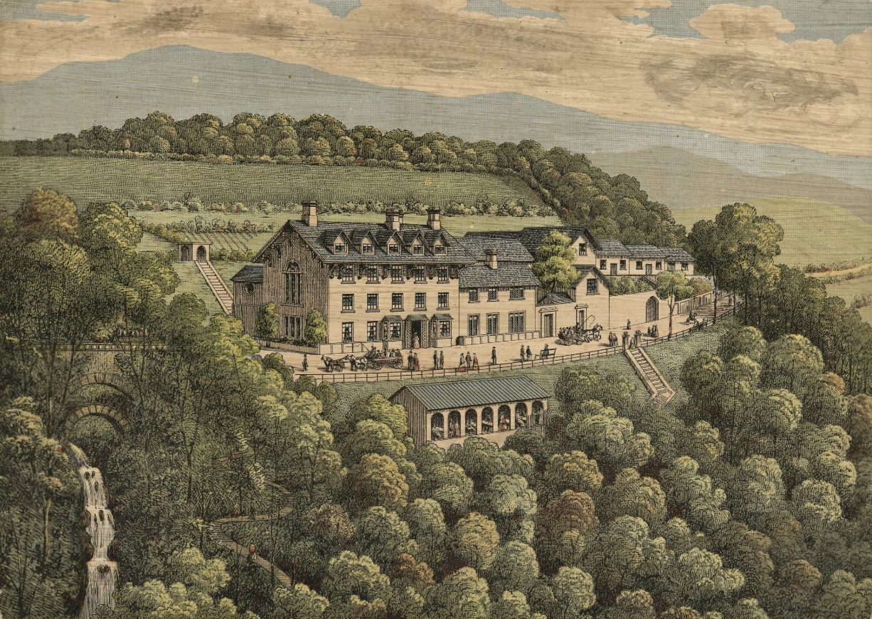
Devil's Bridge, Ceredigion
Devil's Bridge (Welsh: Pontarfynach, lit. "The bridge on the Mynach") is a village and community in Ceredigion, Wales. Above the River Mynach on the edge...

Afon Mynach
Afon Mynach (Welsh pronunciation: [ˈmənaχ]; also known as the River Mynach) is a river in Ceredigion, Wales. Its source is at the meeting of two smaller...
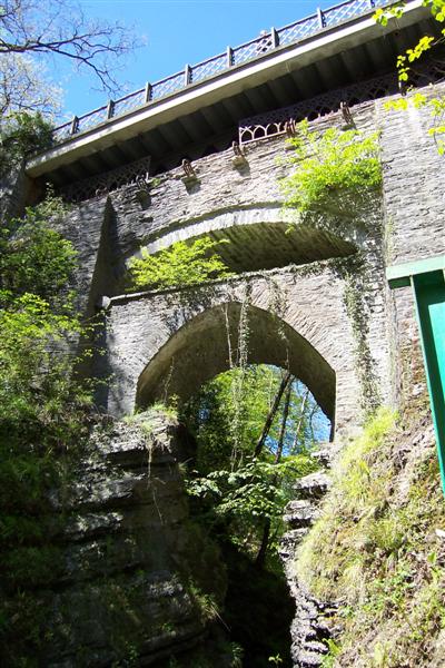
Mynach Falls
Mynach Falls (Welsh: Rhaeadr Mynach) is a waterfall near Aberystwyth in the county of Ceredigion, Wales. It occurs where the River Mynach drops 90 metres...

Devil's Bridge railway station
Devil's Bridge railway station is a railway station serving Devil's Bridge in Ceredigion in Mid-Wales. It is the eastern terminus of the preserved Vale...
Nearby Amenities
Located within 500m of 52.366431,-3.8375723Have you been to Banc y Bont?
Leave your review of Banc y Bont below (or comments, questions and feedback).