Banc Melyn
Hill, Mountain in Cardiganshire
Wales
Banc Melyn

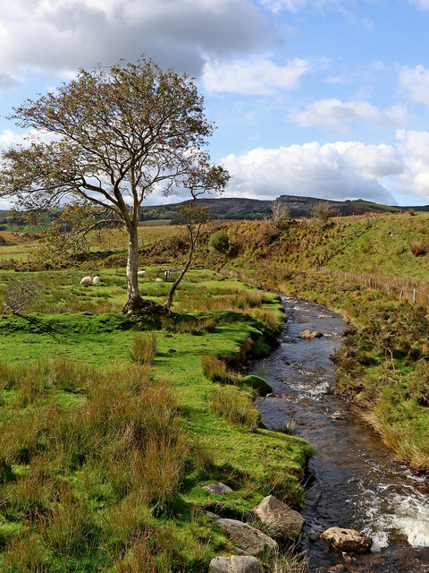
Banc Melyn is a hill located in Cardiganshire, Wales. It is part of the Cambrian Mountains range and stands at an elevation of approximately 1,047 feet (319 meters). The hill is known for its stunning views of the surrounding countryside, including the rolling hills and valleys of the Welsh landscape.
Banc Melyn is a popular destination for hikers and nature enthusiasts, offering a variety of walking trails and paths to explore. The hill is home to a diverse range of flora and fauna, including heather, gorse, and various species of birds.
The summit of Banc Melyn provides panoramic views of Cardiganshire and the nearby towns and villages. On a clear day, visitors can see as far as the coast and even glimpse the peaks of Snowdonia in the distance.
Overall, Banc Melyn offers a serene and picturesque setting for outdoor activities and enjoying the natural beauty of the Welsh countryside. It is a peaceful retreat for those looking to escape the hustle and bustle of everyday life and immerse themselves in the tranquility of nature.
If you have any feedback on the listing, please let us know in the comments section below.
Banc Melyn Images
Images are sourced within 2km of 52.320384/-3.8359715 or Grid Reference SN7470. Thanks to Geograph Open Source API. All images are credited.


Banc Melyn is located at Grid Ref: SN7470 (Lat: 52.320384, Lng: -3.8359715)
Unitary Authority: Ceredigion
Police Authority: Dyfed Powys
What 3 Words
///conducted.pound.frock. Near Cwmystwyth, Ceredigion
Nearby Locations
Related Wikis

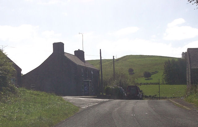
Logau-Las
Logau-Las is a hamlet in the community of Ysbyty Ystwyth, Ceredigion, Wales, which is 65.4 miles (105.2 km) from Cardiff and 168.3 miles (270.8 km) from...
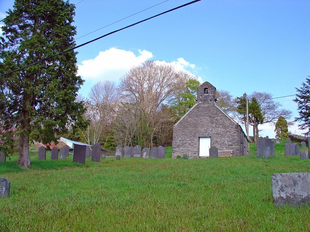
Ysbyty Ystwyth
Ysbyty Ystwyth (Welsh pronunciation: [əsˈbəti ˈəstʊi̯θ]) is a small village and community in Ceredigion, Wales, 11 mi (18 km) southeast of Aberystwyth...
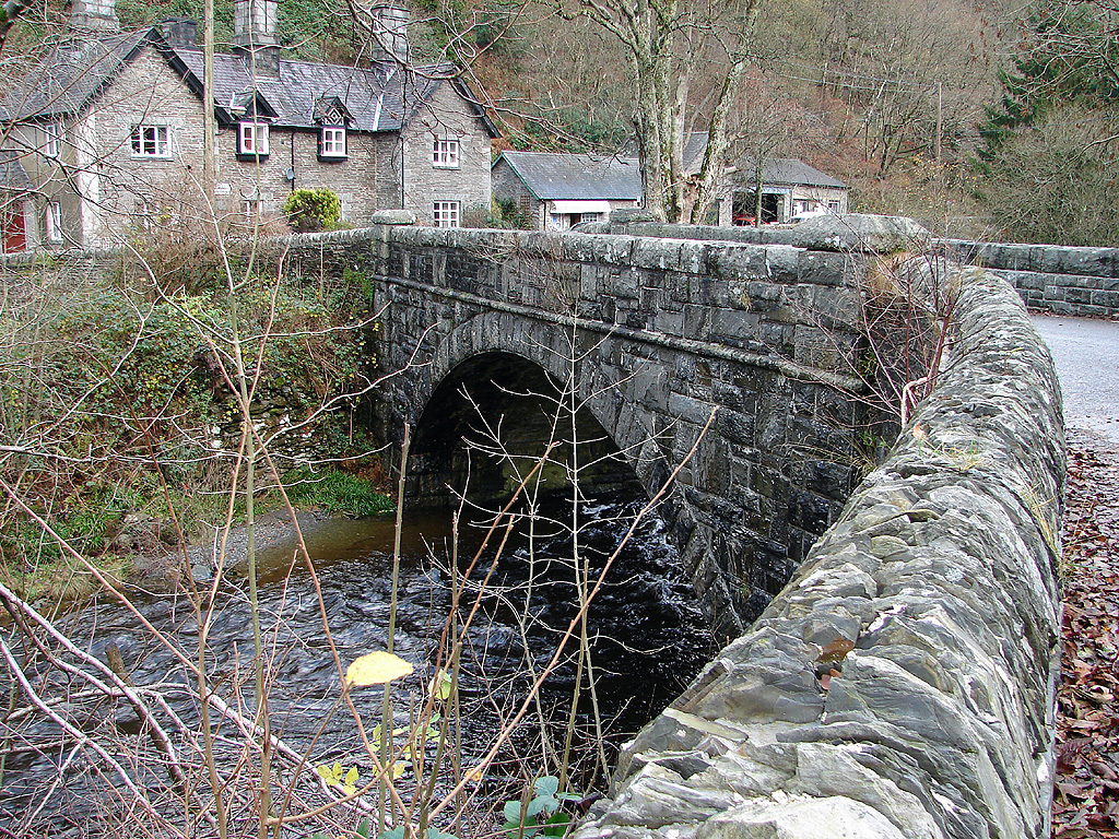
Pont-rhyd-y-groes
Pont-rhyd-y-groes (also known as Pontrhydygroes, English: the bridge of the ford of the cross) is a village near Cwm Ystwyth and Pont ar Fynach (Devil...

Hafod Uchtryd
Hafod Uchtryd (English: Uchtryd summer mansion) is a wooded and landscaped estate in the Ystwyth valley in Ceredigion, Wales. Near Devil's Bridge, Cwmystwyth...
Nearby Amenities
Located within 500m of 52.320384,-3.8359715Have you been to Banc Melyn?
Leave your review of Banc Melyn below (or comments, questions and feedback).