Bere Hill
Hill, Mountain in Kirkcudbrightshire
Scotland
Bere Hill
Bere Hill is a prominent hill located in the historical county of Kirkcudbrightshire, in the southwest region of Scotland. Rising to an elevation of approximately 365 meters (1,198 feet), it is well-known for its striking beauty and commanding views of the surrounding landscape.
Situated near the village of Gatehouse of Fleet, Bere Hill forms part of the Southern Uplands, a range of hills and low mountains that stretch across the southern portion of Scotland. The hill is made primarily of granite, which gives it a distinctive rugged appearance.
Bere Hill is a popular destination for outdoor enthusiasts and hikers due to its accessibility and well-maintained trails. The ascent to the summit is relatively moderate, with the main path passing through picturesque woodlands, offering visitors a chance to admire the diverse flora and fauna of the area.
From the peak of Bere Hill, one can enjoy breathtaking panoramic views of the surrounding countryside, including the vast Galloway Forest Park, the rolling hills of Dumfries and Galloway, and even glimpses of the Solway Firth and the Irish Sea on clear days.
Aside from its natural beauty, Bere Hill also holds historical significance. Nearby, the remains of a hillfort, known as Trusty's Hill, can be found. This ancient fortification dates back to the Iron Age and is believed to have been an important stronghold during that period.
In conclusion, Bere Hill is a picturesque and historically significant hill located in Kirkcudbrightshire, Scotland. With its stunning views, well-maintained trails, and nearby ancient hillfort, it offers visitors a unique opportunity to explore the natural and cultural heritage of the region.
If you have any feedback on the listing, please let us know in the comments section below.
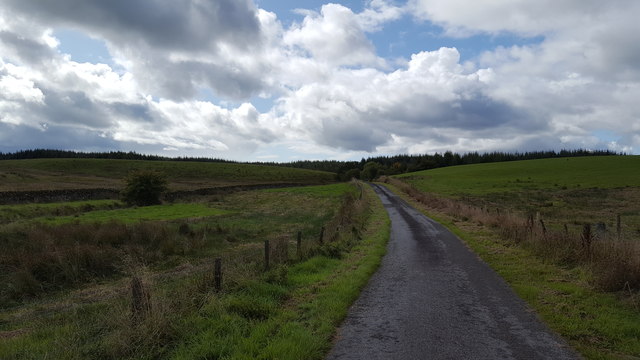
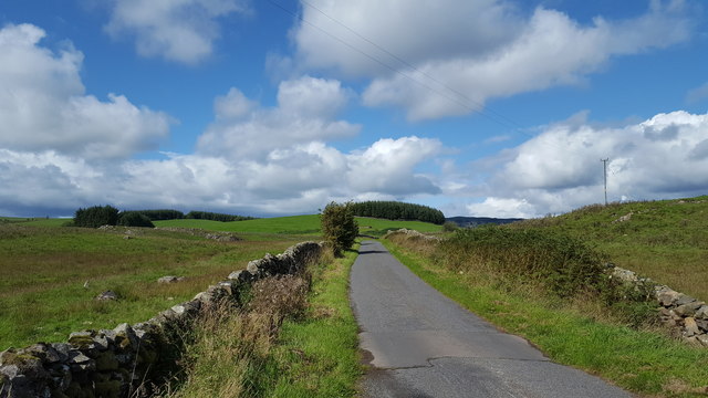
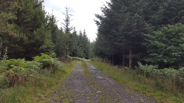
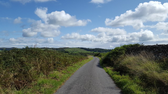
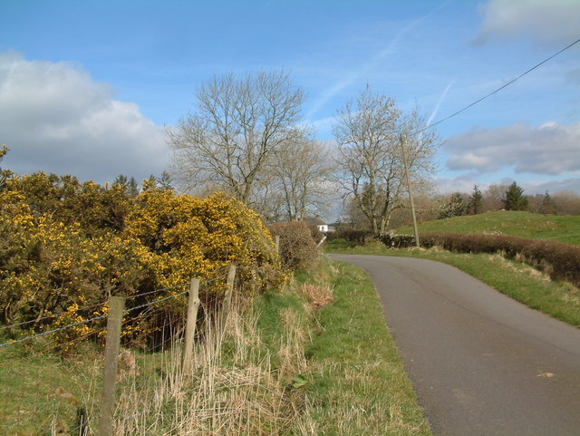
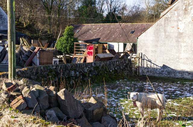
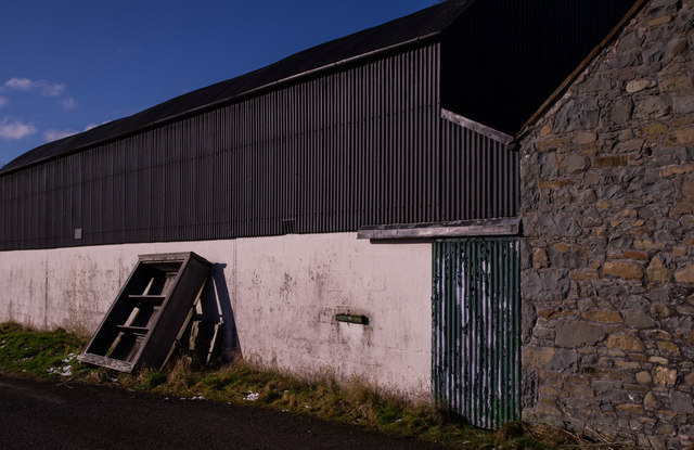
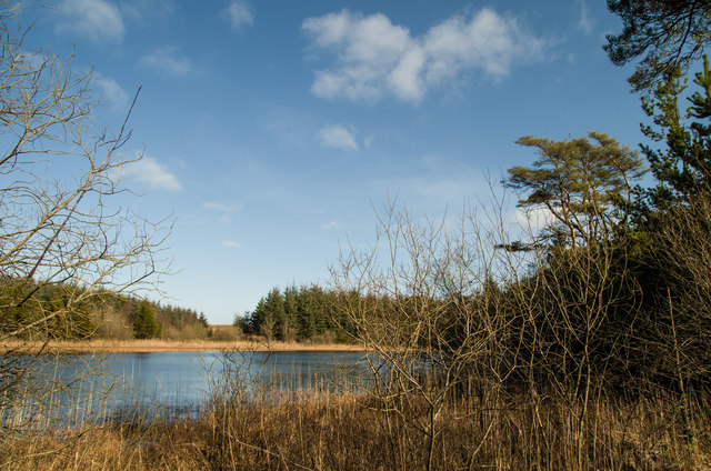
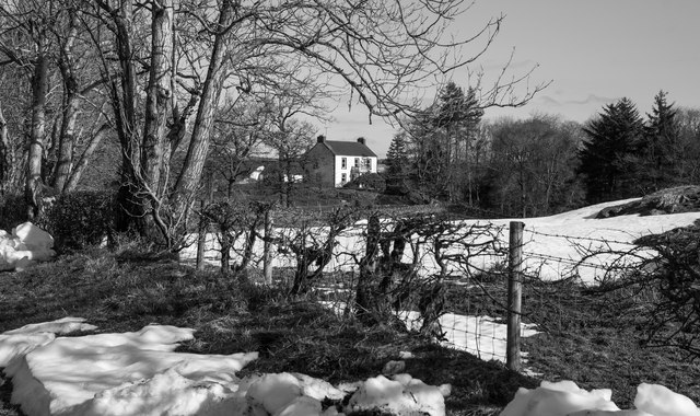
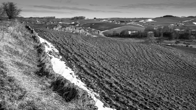
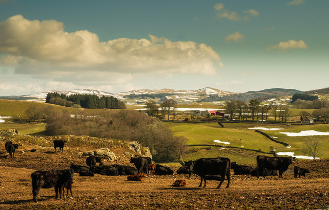
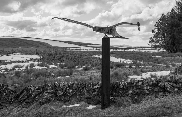
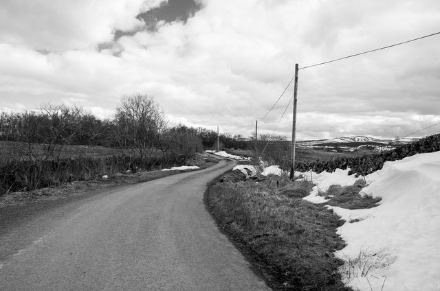
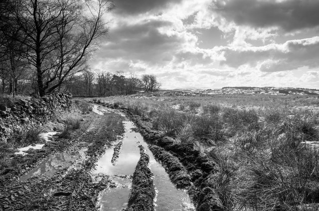
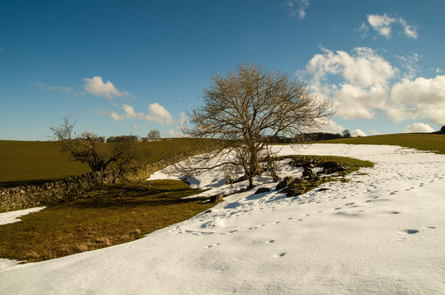
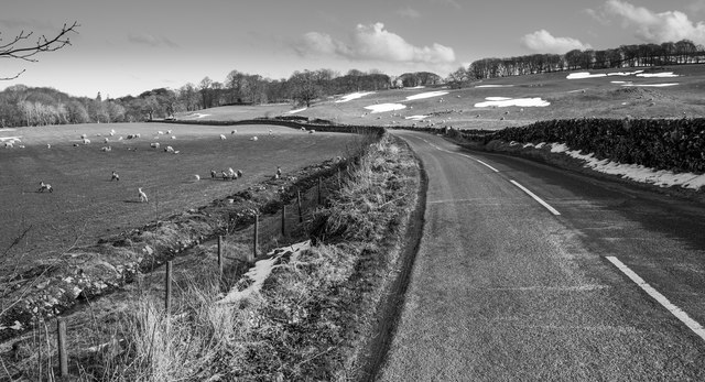
Bere Hill Images
Images are sourced within 2km of 55.039346/-3.95911 or Grid Reference NX7473. Thanks to Geograph Open Source API. All images are credited.


Bere Hill is located at Grid Ref: NX7473 (Lat: 55.039346, Lng: -3.95911)
Unitary Authority: Dumfries and Galloway
Police Authority: Dumfries and Galloway
What 3 Words
///gripes.greeting.wobbles. Near Castle Douglas, Dumfries & Galloway
Nearby Locations
Related Wikis

Glenlair House
Glenlair, near the village of Corsock in the historical county of Kirkcudbrightshire, in Dumfries and Galloway, was the home of the physicist James Clerk...

Corsock
Corsock (Scottish Gaelic: Corsag) is a village in the historical county of Kirkcudbrightshire, Dumfries and Galloway, south-west Scotland. It is located...

Kilquhanity School
Kilquhanity School was one of several free schools to have been established in the United Kingdom in the twentieth century. Others include Sands School...

Kirkcudbrightshire
Kirkcudbrightshire ( kur-KOO-brish-ər, -eer; Scots: [kərˈku(d)brəʃər]), or the County of Kirkcudbright or the Stewartry of Kirkcudbright is one of the...
Nearby Amenities
Located within 500m of 55.039346,-3.95911Have you been to Bere Hill?
Leave your review of Bere Hill below (or comments, questions and feedback).