Auchendolly Hill
Hill, Mountain in Kirkcudbrightshire
Scotland
Auchendolly Hill
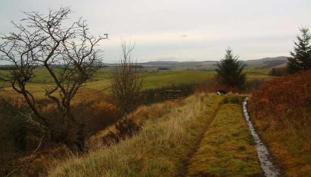
Auchendolly Hill is a prominent hill located in Kirkcudbrightshire, a historic county in southwestern Scotland. Situated near the town of Kirkcudbright, it forms part of the scenic Galloway Hills range. Auchendolly Hill stands at an elevation of approximately 316 meters (1,037 feet) above sea level, making it a prominent landmark in the region.
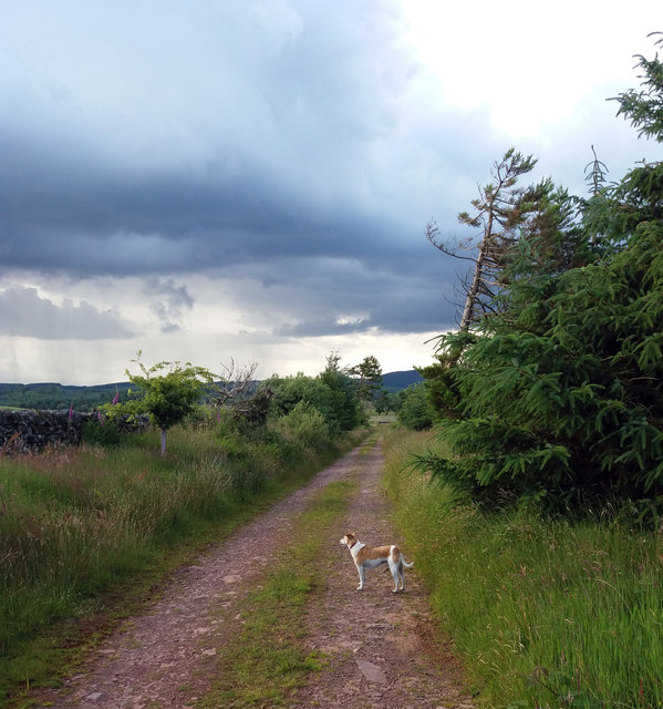
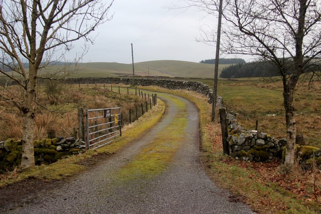
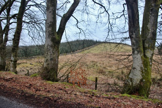
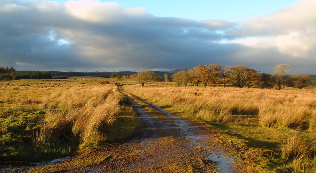
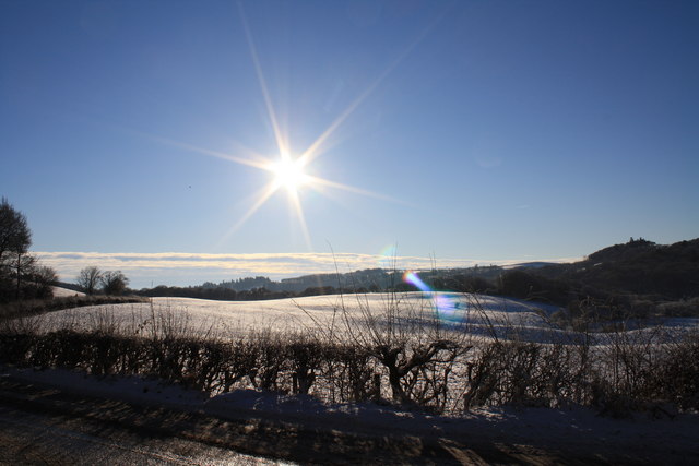
The hill is characterized by its gently sloping terrain, covered with lush grasslands and heather. It offers a commanding view of the surrounding countryside, including the picturesque Solway Firth to the south and the rolling hills of Galloway Forest Park to the north.
Auchendolly Hill is a popular destination for outdoor enthusiasts, attracting hikers, walkers, and nature lovers. Numerous trails and paths crisscross the hill, providing ample opportunities for exploration. The area is also home to a variety of wildlife, including birds of prey, deer, and smaller mammals.
The hill holds historical significance as well, with traces of ancient settlements and archaeological sites found in the vicinity. These remnants offer insights into the area's past and provide a glimpse into the lives of its early inhabitants.
Overall, Auchendolly Hill is a scenic and culturally significant landmark in Kirkcudbrightshire. Its natural beauty, coupled with its historical importance, makes it a compelling destination for those seeking to immerse themselves in Scotland's rich heritage and stunning landscapes.
If you have any feedback on the listing, please let us know in the comments section below.
Auchendolly Hill Images
Images are sourced within 2km of 55.003345/-3.9577296 or Grid Reference NX7469. Thanks to Geograph Open Source API. All images are credited.


Auchendolly Hill is located at Grid Ref: NX7469 (Lat: 55.003345, Lng: -3.9577296)
Unitary Authority: Dumfries and Galloway
Police Authority: Dumfries and Galloway
What 3 Words
///splat.tonal.moguls. Near Castle Douglas, Dumfries & Galloway
Nearby Locations
Related Wikis

Kilquhanity School
Kilquhanity School was one of several free schools to have been established in the United Kingdom in the twentieth century. Others include Sands School...

Kirkcudbrightshire
Kirkcudbrightshire ( kur-KOO-brish-ər, -eer; Scots: [kərˈku(d)brəʃər]), or the County of Kirkcudbright or the Stewartry of Kirkcudbright is one of the...

Glenlair House
Glenlair, near the village of Corsock in the historical county of Kirkcudbrightshire, in Dumfries and Galloway, was the home of the physicist James Clerk...

Crossmichael Parish Church
Crossmichael Parish Church is an ecclesiastical building in Crossmichael, Dumfries and Galloway, Scotland. It lies on a knoll, which was probably an ancient...

Crossmichael
Crossmichael (Scottish Gaelic: Crois Mhìcheil) is a small village on the east side of Loch Ken in the historical county of Kirkcudbrightshire, about 4...

Crossmichael railway station
Crossmichael railway station served the village of Crossmichael, Kirkcudbrightshire, Scotland, from 1861 to 1965 on the Portpatrick and Wigtownshire Joint...

Kirkpatrick Durham
Kirkpatrick Durham (Scottish Gaelic: Cill Phàdraig) is a village and parish in the historical county of Kirkcudbrightshire, Dumfries and Galloway, south...

Balmaghie
Balmaghie ( bal-mə-GEE), from the Scottish Gaelic Baile Mhic Aoidh, is an ecclesiastical and civil parish in the historical county of Kirkcudbrightshire...
Nearby Amenities
Located within 500m of 55.003345,-3.9577296Have you been to Auchendolly Hill?
Leave your review of Auchendolly Hill below (or comments, questions and feedback).