Barend Hill
Hill, Mountain in Kirkcudbrightshire
Scotland
Barend Hill

Barend Hill, located in Kirkcudbrightshire, is a prominent hill that offers picturesque views and is a popular destination for nature enthusiasts and hikers. Situated in the southwest of Scotland, this hill stands at an elevation of approximately 238 meters (781 feet).
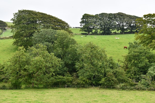
The hill is characterized by its rounded shape and gentle slopes, making it accessible to visitors of all fitness levels. Barend Hill is covered in lush green vegetation, with grassy meadows and scattered patches of trees. The diverse flora and fauna add to its natural beauty, attracting a variety of wildlife.
One of the main attractions of Barend Hill is the breathtaking panoramic views it offers from its summit. On a clear day, visitors can enjoy vistas of the surrounding countryside, including rolling hills, farmlands, and the sparkling waters of the nearby coast. The hill is particularly renowned for its stunning sunsets, providing a perfect backdrop for photography enthusiasts.
Barend Hill is also known for its historical significance. The area is scattered with ancient burial mounds, indicating human presence dating back thousands of years. These archaeological sites have been of great interest to researchers and historians, shedding light on the region's past.
Overall, Barend Hill in Kirkcudbrightshire is a captivating natural landmark, offering a peaceful retreat and a chance to connect with nature. Whether it is for a leisurely walk or a more challenging hike, visitors can enjoy the tranquility and beauty that this hill has to offer.
If you have any feedback on the listing, please let us know in the comments section below.
Barend Hill Images
Images are sourced within 2km of 54.817218/-3.9505967 or Grid Reference NX7448. Thanks to Geograph Open Source API. All images are credited.


Barend Hill is located at Grid Ref: NX7448 (Lat: 54.817218, Lng: -3.9505967)
Unitary Authority: Dumfries and Galloway
Police Authority: Dumfries and Galloway
What 3 Words
///bonfires.relaxed.venues. Near Kirkcudbright, Dumfries & Galloway
Nearby Locations
Related Wikis

Dundrennan
Dundrennan (Gaelic: Dun Droighnein) is a village Dumfries and Galloway, Scotland, about 5 miles (8 km) east of Kirkcudbright. Its population is around...

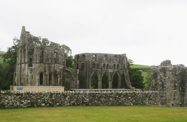
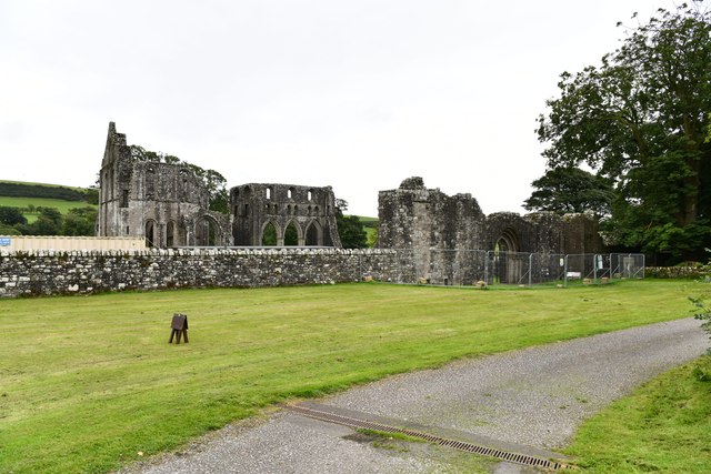
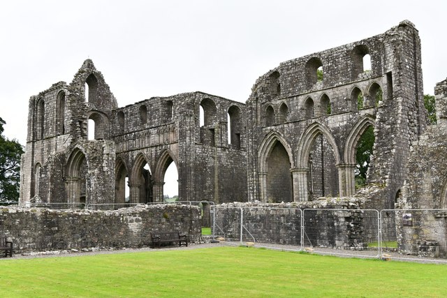
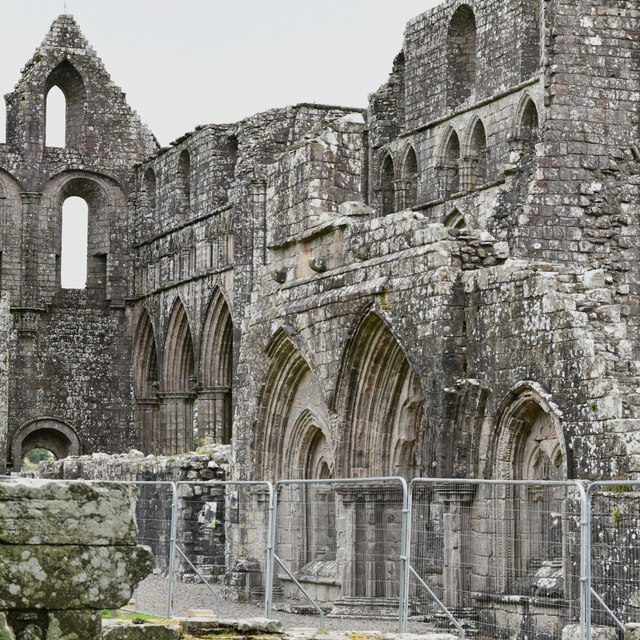
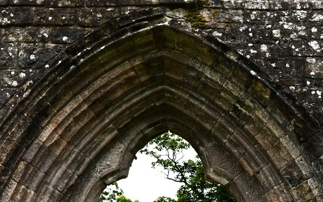
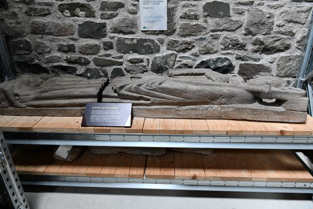
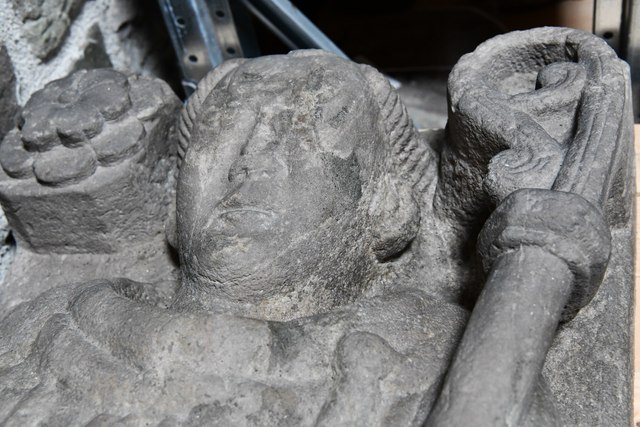
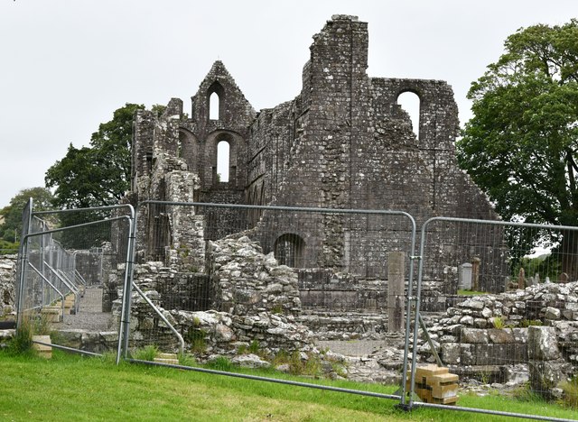
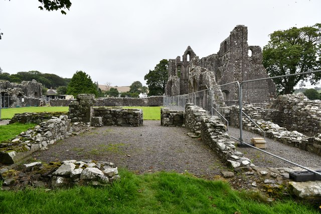
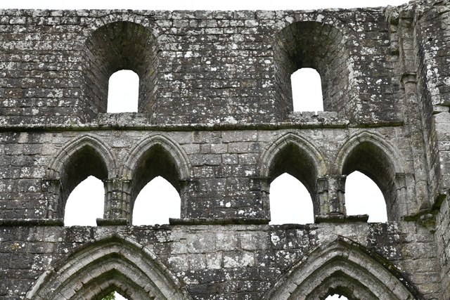
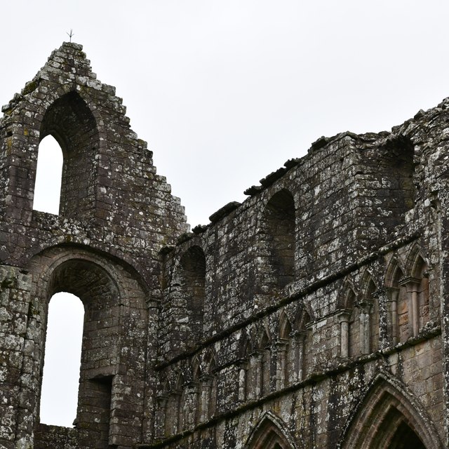
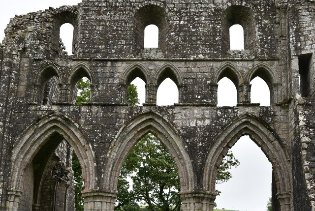
Dundrennan Abbey
Dundrennan Abbey, in Dundrennan, Scotland, near to Kirkcudbright, was a Cistercian monastery in the Romanesque architectural style, established in 1142...

Wickerman Festival
The Wickerman Festival was an annual music festival held near Auchencairn in Dumfries and Galloway, Scotland. Dubbed "Scotland's Alternative Music festival...

Dundrennan Range
Dundrennan Range is a weapons testing range on the Solway Firth, near Kirkcudbright in Dumfries and Galloway, in south west Scotland, it is part of the...

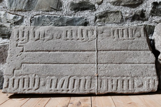
High Banks cup and ring markings
The High Banks cup and ring markings are a series of Neolithic or Bronze Age carvings on an outcrop of rock near High Banks farm, 3 km SE of Kirkcudbright...
Abbey Head
Abbey Head is a headland on the Solway Firth coast of Dumfries and Galloway. == References ==

Auchencairn
Auchencairn ([ɔxən'kʰɛ:(r)n]) is a village in the historical county of Kirkcudbrightshire in the Dumfries and Galloway region of Scotland. It is located...

Kirkcudbright
Kirkcudbright ( kur-KOO-bree; Scots: Kirkcoubrie; Scottish Gaelic: Cille Chùithbeirt) is a town, parish and a Royal Burgh from 1455 in Kirkcudbrightshire...
Nearby Amenities
Located within 500m of 54.817218,-3.9505967Have you been to Barend Hill?
Leave your review of Barend Hill below (or comments, questions and feedback).