Drummarnock

Hill, Mountain in Stirlingshire

Scotland

Drummarnock

The start of the track to Old Sauchie Sadly marred by dumping and signs of tyre burning.  While the OS marks this as a track all the way to Old Sauchie, it deteriorates into a very poor and boggy path after 100 metres or so.
The start of the track to Old Sauchie Credit: Gordon Brown

The requested URL returned error: 429 Too Many Requests

If you have any feedback on the listing, please let us know in the comments section below.
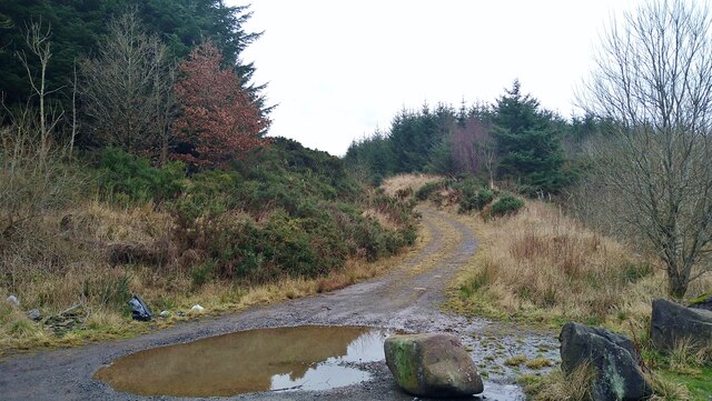
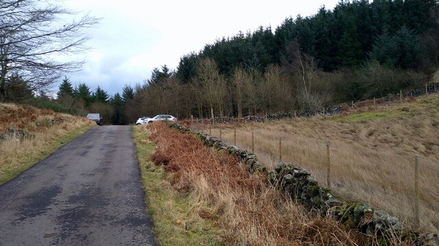
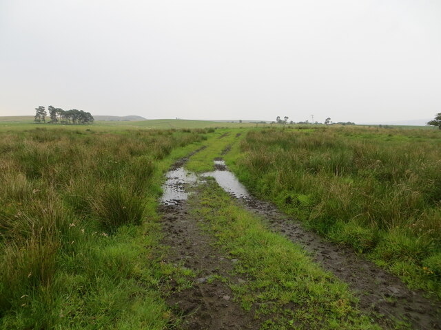
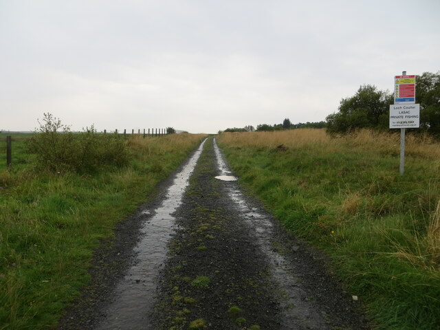
Drummarnock Images

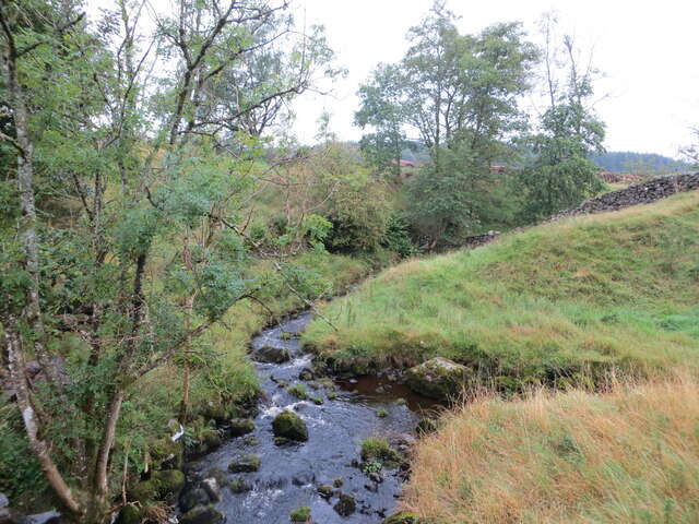
Images are sourced within 2km of 56.059882/-4.0132933 or Grid Reference NS7487. Thanks to Geograph Open Source API. All images are credited.

The start of the track to Old Sauchie Sadly marred by dumping and signs of tyre burning.  While the OS marks this as a track all the way to Old Sauchie, it deteriorates into a very poor and boggy path after 100 metres or so.
The start of the track to Old Sauchie
Sadly marred by dumping and signs of tyre burning. While the OS marks this as a track all the way to Old Sauchie, it deteriorates into a very poor and boggy path after 100 metres or so.
Bridge on the path around the North Third Reservoir
Approaching Weatherlaw Wood The single-track road eventually will bring us back to Stirling.
Approaching Weatherlaw Wood
The single-track road eventually will bring us back to Stirling.
Track crossing rough ground near to Burnside Looking south-eastward.
Track crossing rough ground near to Burnside
Looking south-eastward.
Track giving access to Loch Coulter Reservoir Looking south-eastward.
Track giving access to Loch Coulter Reservoir
Looking south-eastward.
Buckie Burn and a tributary Looking south-westward from the road bridge near Easter Buckieburn. Buckie Burn is joining from the right.
Buckie Burn and a tributary
Looking south-westward from the road bridge near Easter Buckieburn. Buckie Burn is joining from the right.
North Third Reservoir The reservoir was built in 1911 to provide a water supply to the town of Grangemouth.

This view looks across the reservoir towards the lines of crags at Sauchie Craigs and Lewis Hill.
North Third Reservoir
The reservoir was built in 1911 to provide a water supply to the town of Grangemouth. This view looks across the reservoir towards the lines of crags at Sauchie Craigs and Lewis Hill.
Lewis Hill viewed across the North Third Reservoir The southern end of the long line of crags on Lewis Hill is visible amidst the woodlands on the opposite side of the reservoir.
Lewis Hill viewed across the North Third Reservoir
The southern end of the long line of crags on Lewis Hill is visible amidst the woodlands on the opposite side of the reservoir.
King's Yett Burn draining into North Third Reservoir The long line of crags on Lewis Hill is visible amongst the woodlands on the opposite side of the reservoir.
King's Yett Burn draining into North Third Reservoir
The long line of crags on Lewis Hill is visible amongst the woodlands on the opposite side of the reservoir.
Felled area This woodland <a href="https://www.geograph.org.uk/photo/85687">NS7587 : Path to Lewis Hill</a> has now been felled and the land replanted.
Felled area
This woodland NS7587 : Path to Lewis Hill has now been felled and the land replanted.
Felled and replanted area Views now available from the path at the base of Lewis Hill.
Felled and replanted area
Views now available from the path at the base of Lewis Hill.
Path to Lewis Hill Since <a href="https://www.geograph.org.uk/photo/3069344">NS7587 : Footpath to Lewis Hill</a> was taken, the trees on the right have been cut down.
Path to Lewis Hill
Since NS7587 : Footpath to Lewis Hill was taken, the trees on the right have been cut down.
Wind damaged woodland Windthrow and cleaned up woodland at the head of the Canglour Glen.
Wind damaged woodland
Windthrow and cleaned up woodland at the head of the Canglour Glen.
Road from North Third A narrow road with a bit of a dumping problem.
Road from North Third
A narrow road with a bit of a dumping problem.
Lewis Hill A rock outcrop south of the summit of Lewis Hill in Stirlingshire - this is composed of a Quartz-microgabbro of the Midland Valley sill complex, an igneous bedrock formed approximately 299 to 326 million years ago in the Carboniferous Period. The Midland valley Sill outcrops in many places in Scotland's Midland Valley, including the Cleish and Lomond Hills, Hound Point, and North Queensferry.

Reference: The Geology of Britain Viewer: <span class="nowrap"><a title="http://www.bgs.ac.uk/discoveringGeology/geologyOfBritain/viewer.html" rel="nofollow ugc noopener" href="http://www.bgs.ac.uk/discoveringGeology/geologyOfBritain/viewer.html">Link</a><img style="margin-left:2px;" alt="External link" title="External link - shift click to open in new window" src="https://s1.geograph.org.uk/img/external.png" width="10" height="10"/></span>
Lewis Hill
A rock outcrop south of the summit of Lewis Hill in Stirlingshire - this is composed of a Quartz-microgabbro of the Midland Valley sill complex, an igneous bedrock formed approximately 299 to 326 million years ago in the Carboniferous Period. The Midland valley Sill outcrops in many places in Scotland's Midland Valley, including the Cleish and Lomond Hills, Hound Point, and North Queensferry. Reference: The Geology of Britain Viewer: LinkExternal link
Sauchie Craig and North Third Reservoir A reservoir overlooked by a whinstone scarp.
Sauchie Craig and North Third Reservoir
A reservoir overlooked by a whinstone scarp.
Plantation, North Third Reservoir Growing fast after a previous crop of trees was cut down. <a href="https://www.geograph.org.uk/photo/25040">NS7588 : The Bannock Burn</a>
Plantation, North Third Reservoir
Growing fast after a previous crop of trees was cut down. NS7588 : The Bannock Burn
Ford on the Bannock Burn By North Third Reservoir.
Ford on the Bannock Burn
By North Third Reservoir.
Show me another place!

Drummarnock is located at Grid Ref: NS7487 (Lat: 56.059882, Lng: -4.0132933)

Unitary Authority: Stirling

Police Authority: Forth Valley

What 3 Words

///hunk.shame.continues. Near Dunipace, Falkirk

Nearby Locations

Drummarnock

Related Wikis

Stirling Transmitting Station

Stirling Transmitting Station is a transmission facility on Earl's Hill southwest of Stirling, Scotland. It was built at the end of the 1950s for the radio...

Central 103.1 FM

Central 103.1 FM is an Independent Local Radio station serving Falkirk, Stirling, Clackmannanshire and the Forth Valley. It is owned and operated by businessman...

Howietoun Fishery

Howietoun Fishery was created by Sir James Ramsay Gibson Maitland; it is a Victorian fish farm that specialised in the study of trout and salmon farming...

Duncarron

Duncarron is a modern reproduction of a fortified village from the early Middle Ages of Scotland. It is the reconstruction of a typical residence of a...

Nearby Amenities

Located within 500m of 56.059882,-4.0132933
Drummarnock
Ele: 276
Ele Ft: 907
Natural: peak
Source: npe
Lat/Long: 56.0601241/-4.0138104
The data included in this document is from www.openstreetmap.org. The data is made available under ODbL.

Have you been to Drummarnock?

Leave your review of Drummarnock below (or comments, questions and feedback).