Bampton Grange
Settlement in Westmorland Eden
England
Bampton Grange
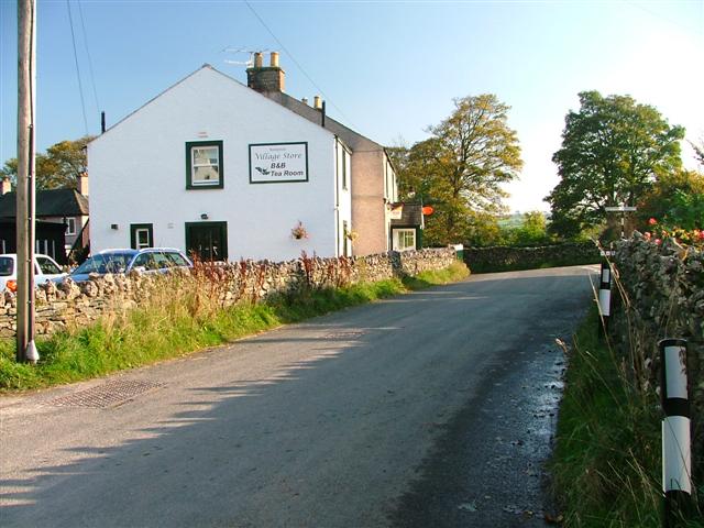
Bampton Grange is a small village located in the district of Eden, in the historical county of Westmorland, England. Situated in the picturesque Lake District National Park, Bampton Grange offers stunning views of the surrounding countryside and is known for its natural beauty and tranquility.
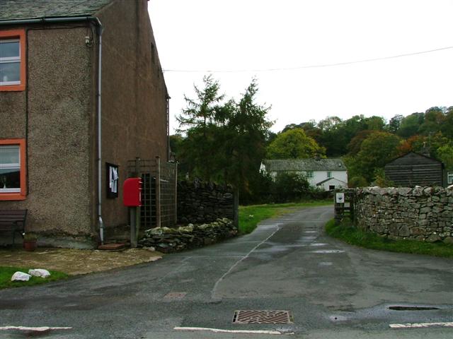
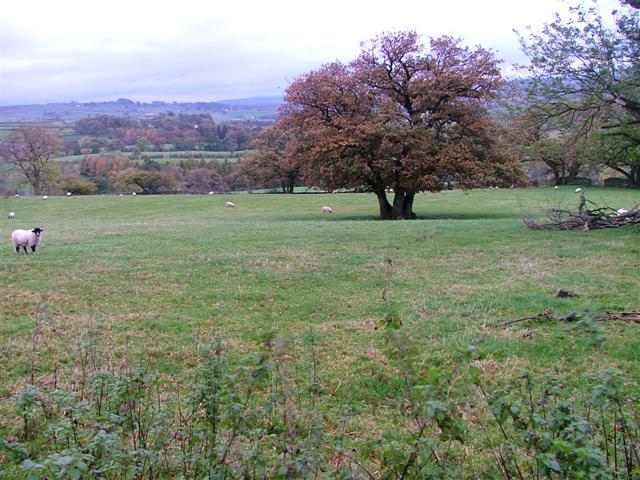
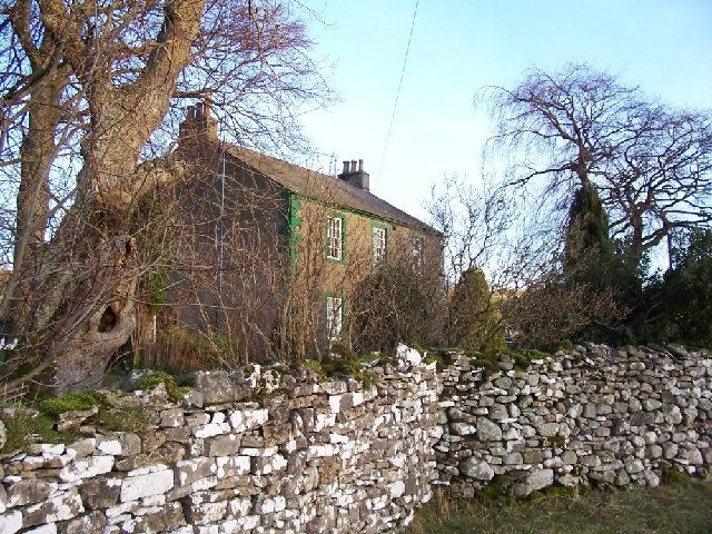
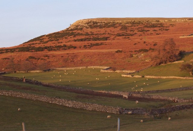
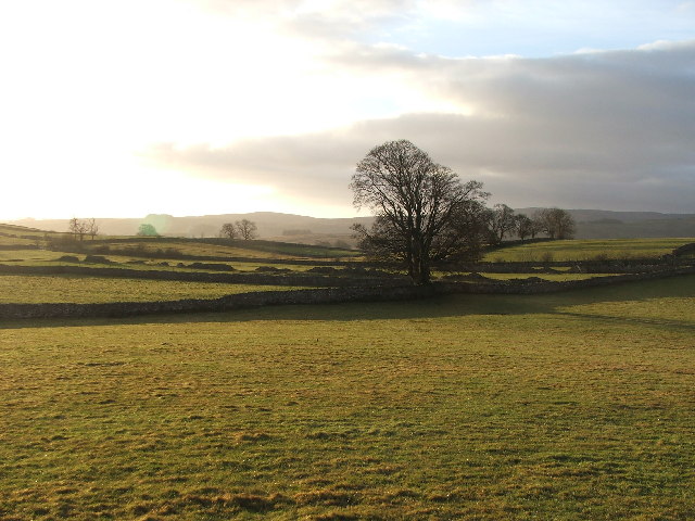
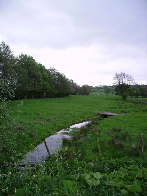
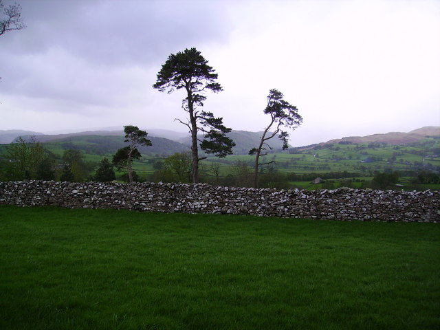
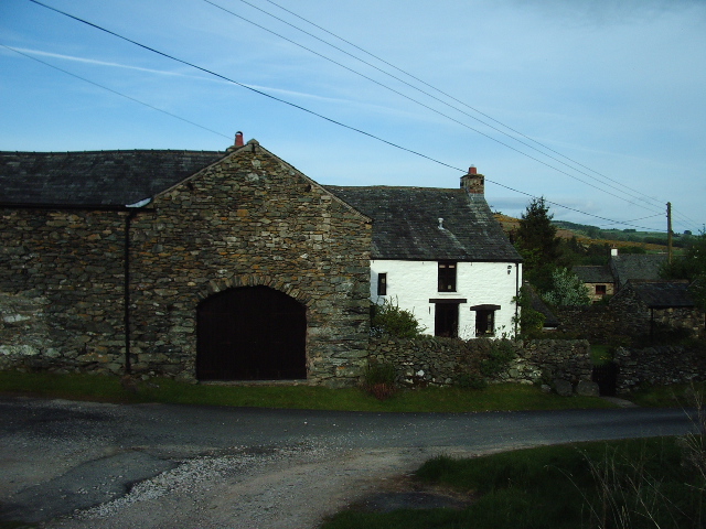
The village is nestled on the eastern side of Bampton Common, a large expanse of open moorland that is home to a variety of wildlife and plant species. Bampton Grange itself is a charming settlement with a population of around 300 residents. The village is characterized by its traditional stone-built houses, many of which date back several centuries, giving it a quaint and historic atmosphere.
Bampton Grange is also renowned for its agricultural heritage. The fertile farmland around the village supports a number of working farms, where sheep, cows, and other livestock are reared. The surrounding countryside provides excellent opportunities for outdoor activities such as hiking, cycling, and horse riding, attracting nature lovers and outdoor enthusiasts alike.
In terms of amenities, Bampton Grange has a small village hall, a primary school, and a local pub, providing a sense of community for its residents. The village is well-connected to nearby towns and cities, with good road links to Penrith and Kendal, making it an ideal base for exploring the wider area.
Overall, Bampton Grange offers a peaceful and idyllic rural retreat, with its stunning natural surroundings and close-knit community making it a desirable place to live or visit in Westmorland.
If you have any feedback on the listing, please let us know in the comments section below.
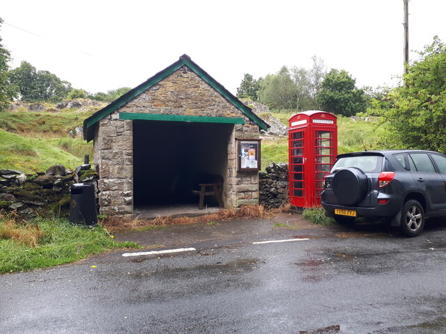
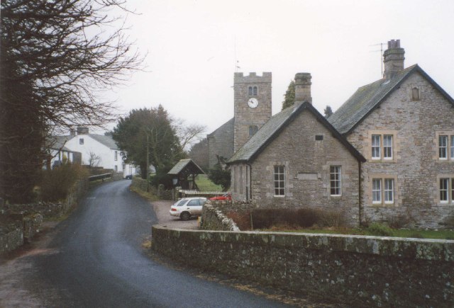
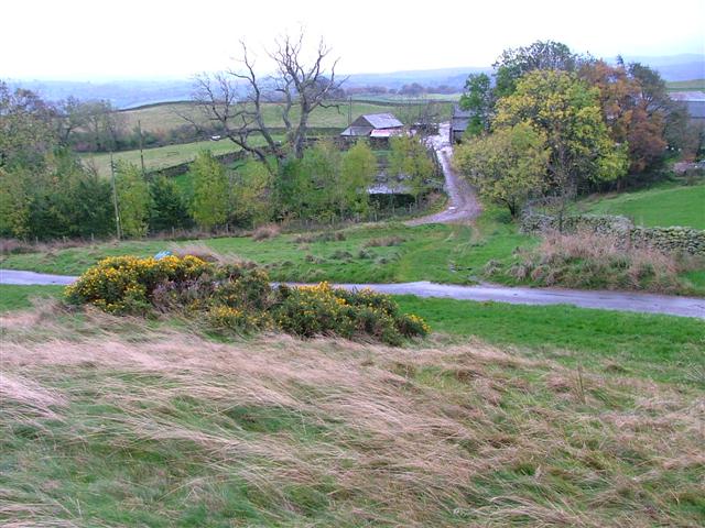
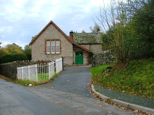
Bampton Grange Images
Images are sourced within 2km of 54.556505/-2.742171 or Grid Reference NY5218. Thanks to Geograph Open Source API. All images are credited.


Bampton Grange is located at Grid Ref: NY5218 (Lat: 54.556505, Lng: -2.742171)
Administrative County: Cumbria
District: Eden
Police Authority: Cumbria
What 3 Words
///bridges.disprove.trip. Near Shap, Cumbria
Nearby Locations
Related Wikis

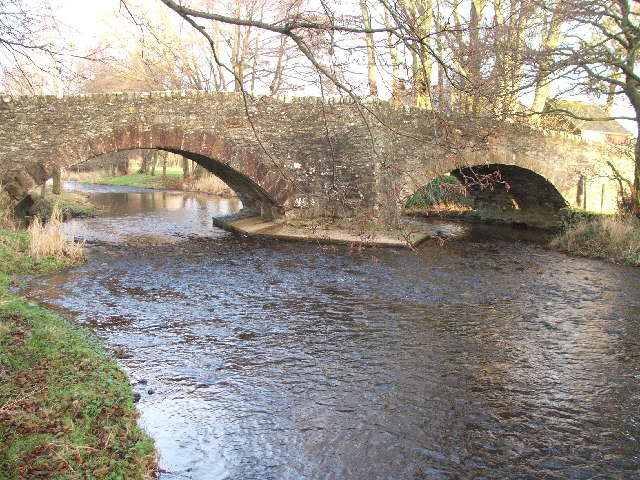
Haweswater Beck
Haweswater Beck flows through Cumbria in England. It arises as a stream discharge from Haweswater Reservoir, at Gill Dubs, just east of the dam, and flows...

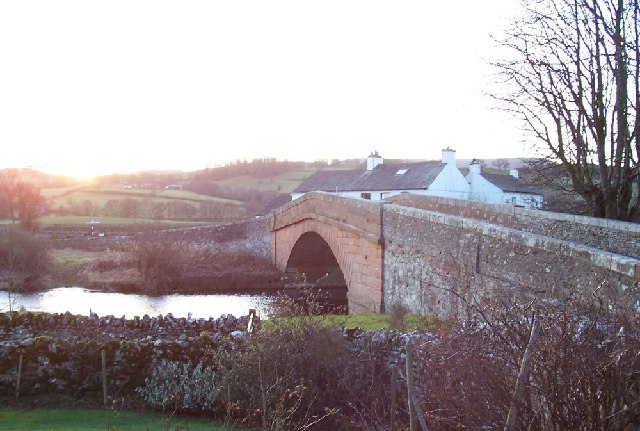
Bampton, Cumbria
Bampton is a village and civil parish in the Westmorland and Furness unitary authority area of Cumbria, England, on the edge of the Lake District National...

Butterwick, Cumbria
Butterwick is a hamlet in Cumbria, England, near the village of Helton. == Location grid ==

Bampton Grange
Bampton Grange is a village in Cumbria, England. Haweswater Beck arises as a stream discharge from Haweswater Reservoir and flows eastward, just north...

Knipescar Common
Knipescar Common, or Knipe Scar, is an upland area in the east of the English Lake District, above the River Lowther, near Bampton, Cumbria. It is the...

Bomby
Bomby is a village in Cumbria, England. Bomby village consists only of one farm house. The farm is mostly known for its specific potatoes, the Kind Edward...
West Ward Rural District
West Ward was a rural district of the administrative county of Westmorland. The area was directly based on the former West Ward rural sanitary district...

Whale, Cumbria
Whale is a hamlet in the Westmorland and Furness unitary authority area, Cumbria, England. Historically in Westmorland, it is about a mile south of the...
Nearby Amenities
Located within 500m of 54.556505,-2.742171Have you been to Bampton Grange?
Leave your review of Bampton Grange below (or comments, questions and feedback).