Banc yr Ŵyn
Hill, Mountain in Cardiganshire
Wales
Banc yr Ŵyn
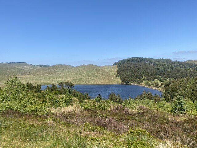
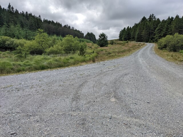
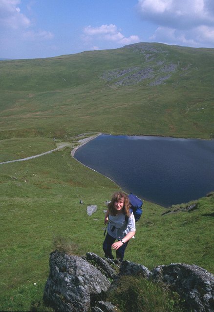
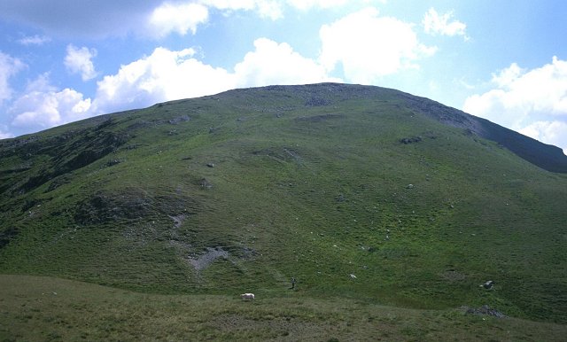
Banc yr Ŵyn is a prominent hill located in the county of Cardiganshire, Wales. It stands at an elevation of approximately 364 meters (1,194 feet) above sea level, making it a notable landmark in the region.
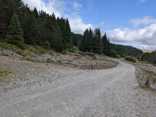
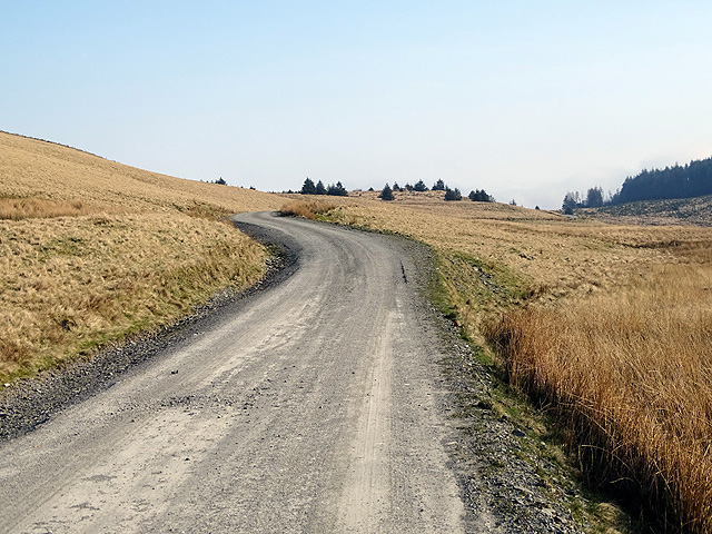
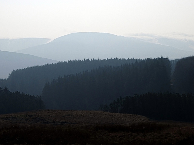
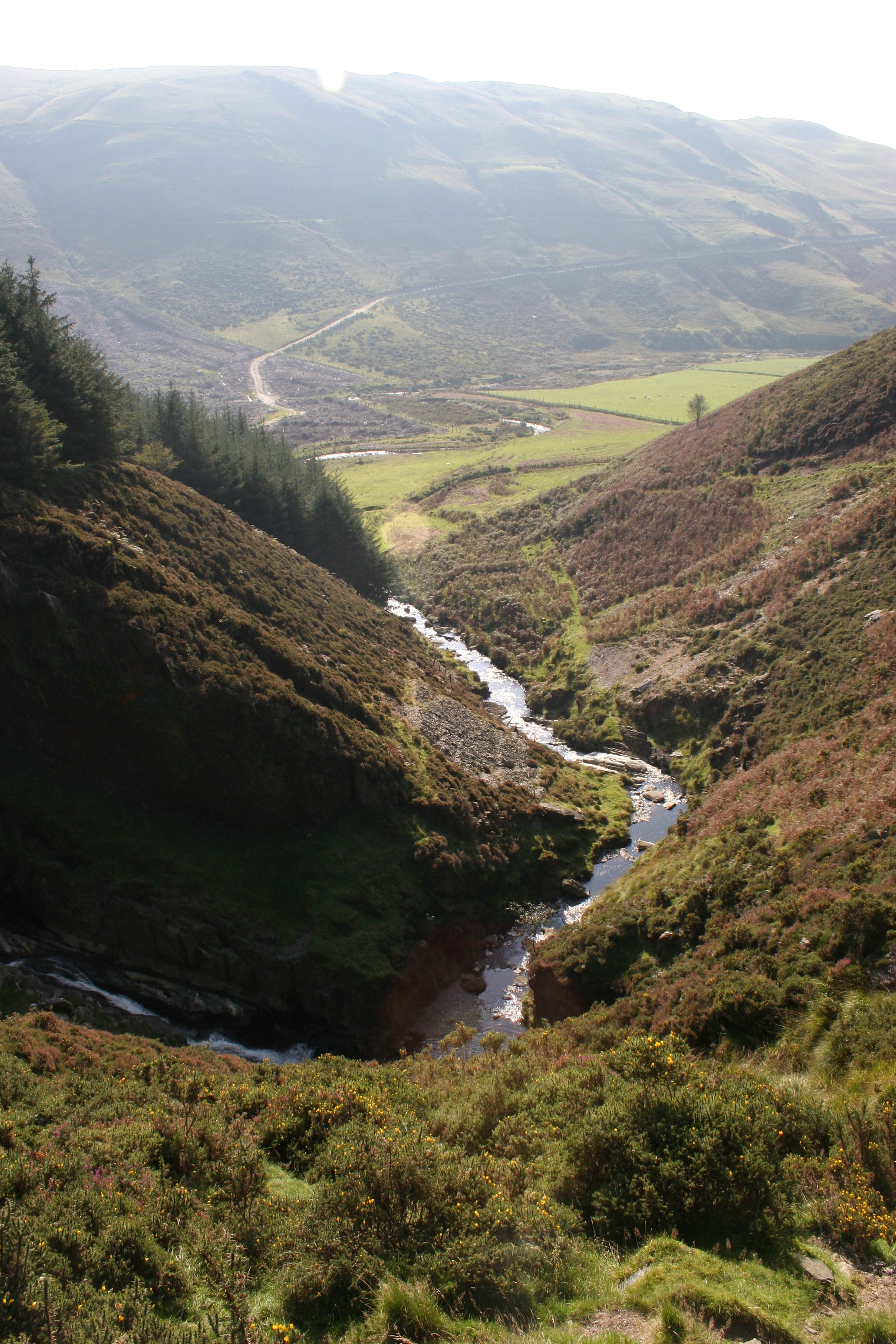
Situated in the beautiful countryside of Cardiganshire, Banc yr Ŵyn offers breathtaking panoramic views of the surrounding landscape. On a clear day, visitors can enjoy vistas stretching across rolling hills, verdant valleys, and even glimpses of the nearby coastline.
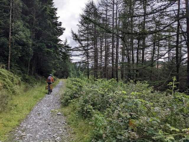
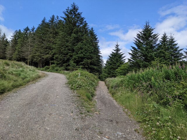
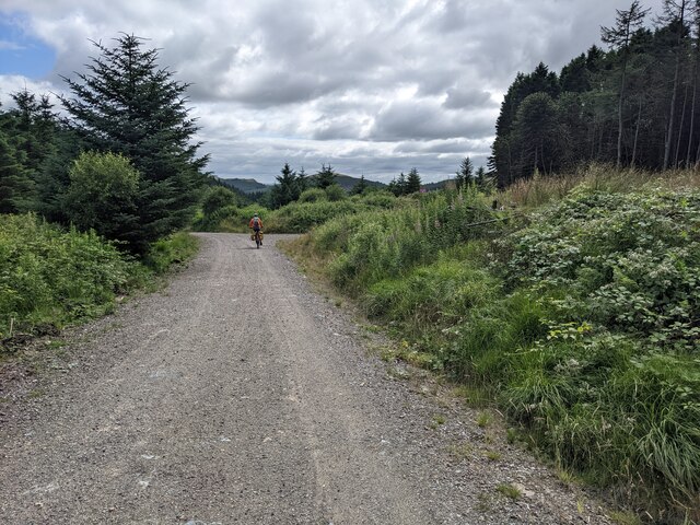
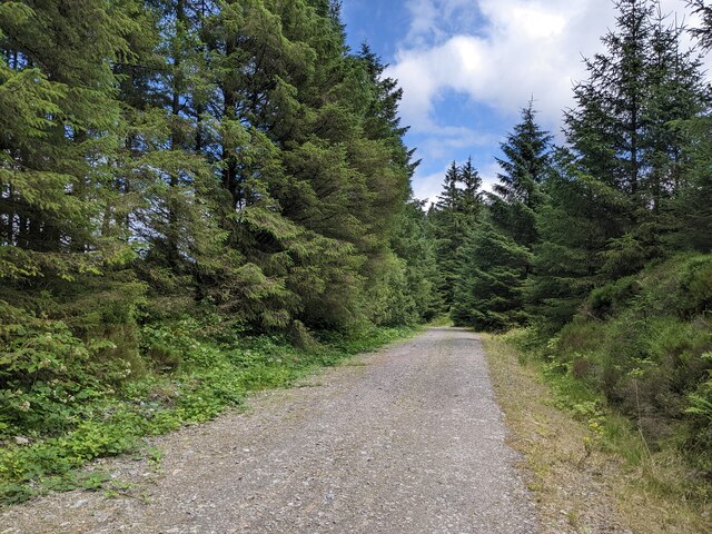
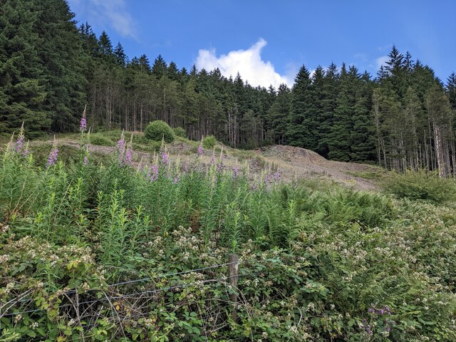
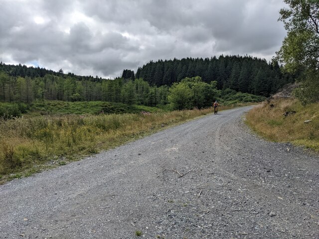
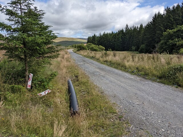
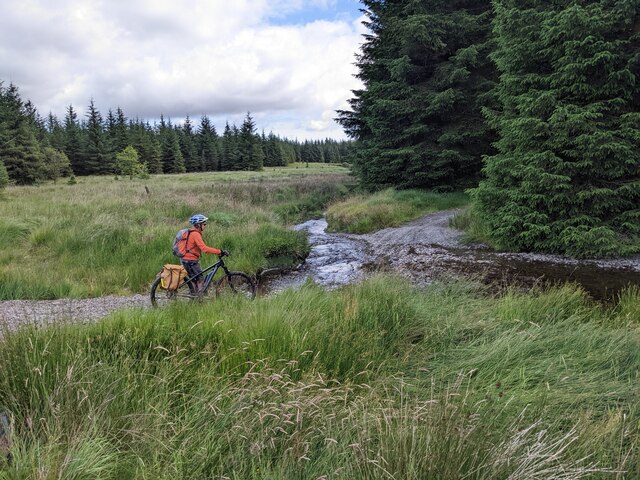
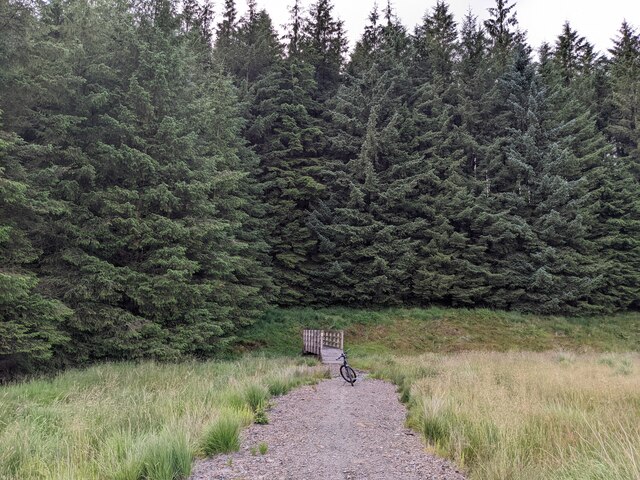
The hill is a popular destination for outdoor enthusiasts, attracting hikers, walkers, and nature lovers alike. It boasts a network of well-maintained trails that lead to the summit, providing opportunities for both leisurely strolls and more challenging hikes. Along the way, visitors can immerse themselves in the natural beauty of the area, encountering diverse flora and fauna.
Banc yr Ŵyn is also steeped in history, with evidence of ancient settlements and burial mounds found on its slopes. Archaeological excavations have revealed artifacts dating back centuries, providing insights into the region's past.
Additionally, the hill offers recreational activities such as birdwatching, with various species of birds inhabiting its wooded areas. It is also a popular spot for photography enthusiasts, who are drawn to its picturesque landscapes and ever-changing colors throughout the seasons.
Overall, Banc yr Ŵyn is a captivating destination that offers a blend of natural beauty, outdoor pursuits, and historical significance, making it a must-visit location for visitors to Cardiganshire.
If you have any feedback on the listing, please let us know in the comments section below.
Banc yr Ŵyn Images
Images are sourced within 2km of 52.495367/-3.8547446 or Grid Reference SN7490. Thanks to Geograph Open Source API. All images are credited.


Banc yr Ŵyn is located at Grid Ref: SN7490 (Lat: 52.495367, Lng: -3.8547446)
Unitary Authority: Ceredigion
Police Authority: Dyfed Powys
What 3 Words
///nipped.curls.riverbank. Near Machynlleth, Powys
Nearby Locations
Related Wikis
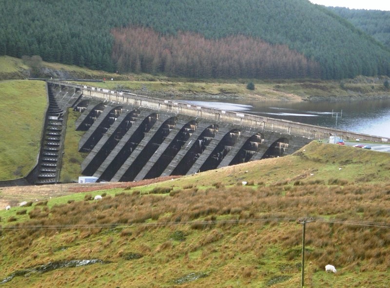
Nant-y-moch Reservoir
Nant-y-moch Reservoir () is situated in the Cambrian Mountains in northern Ceredigion, Wales, near Pumlumon. The reservoir which flooded a part of the...

Battle of Mynydd Hyddgen
The Battle of Mynydd Hyddgen was a battle between the Welsh and English in June 1401. It was part of the Welsh Revolt of 1400-1415 led by Owain Glyndŵr...

Pistyll y Llyn
Pistyll y Llyn is one of the tallest waterfalls in Wales and the United Kingdom. It is a horsetail style set of falls which are located in the Cambrian...

Ystrad Einion
Ystrad Einion or Ystrad-Einion is a small village in the community of Ysgubor-y-coed, Ceredigion, Wales, which is 78.7 miles (126.7 km) from Cardiff and...
Craig-y-pistyll
Craig-y-pistyll is a Site of Special Scientific Interest in Ceredigion, west Wales. It is a reservoir with a dam at one end which supplies water to the...
Pumlumon Fach
Pumlumon Fach is a top of Pen Pumlumon Fawr on the Plynlimon massif, a part of the Cambrian Mountains in the county of Ceredigion, Wales. It lies on small...
Plynlimon
Plynlimon, or Pumlumon in Welsh (also historically anglicised as Plinlimon and Plinlimmon), is the highest point of the Cambrian Mountains in Wales (taking...

Y Garn (Plynlimon)
Y Garn is a subsidiary summit of Pen Pumlumon Fawr and the fourth highest peak on the Plynlimon massif, a part of the Cambrian Mountains in the county...
Have you been to Banc yr Ŵyn?
Leave your review of Banc yr Ŵyn below (or comments, questions and feedback).