Castell
Hill, Mountain in Cardiganshire
Wales
Castell
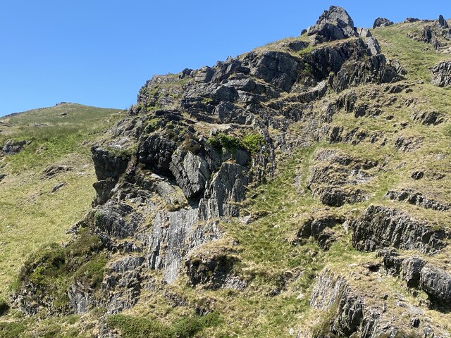
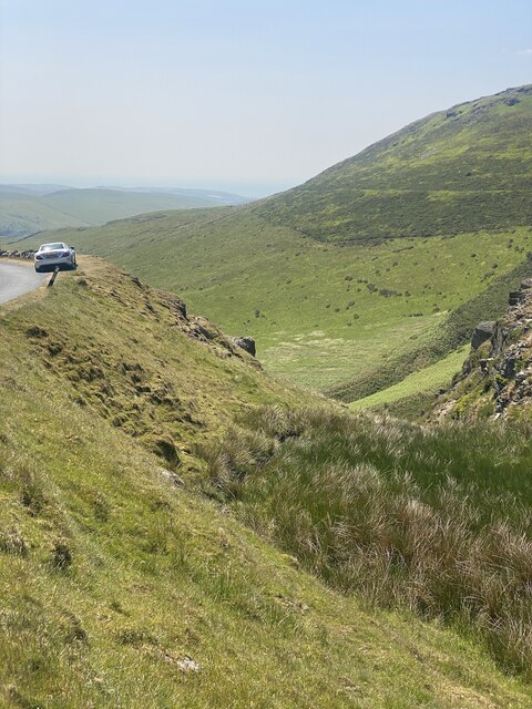
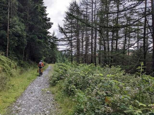
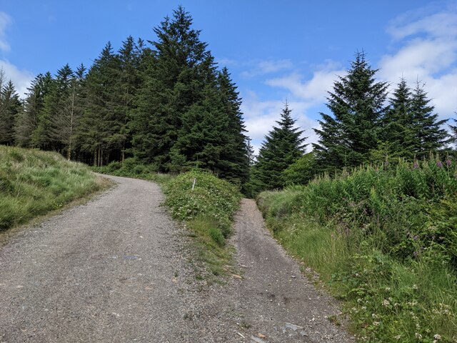
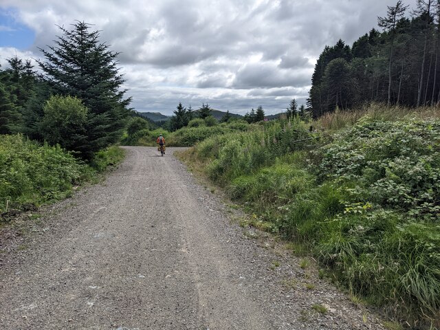
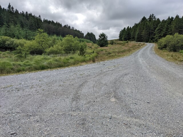
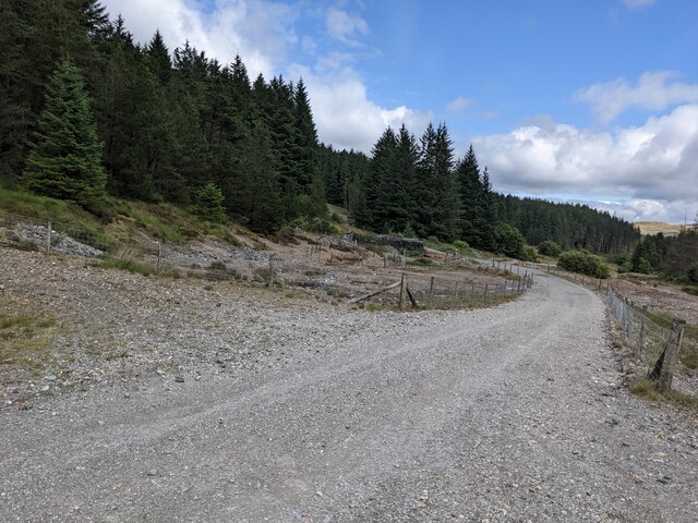
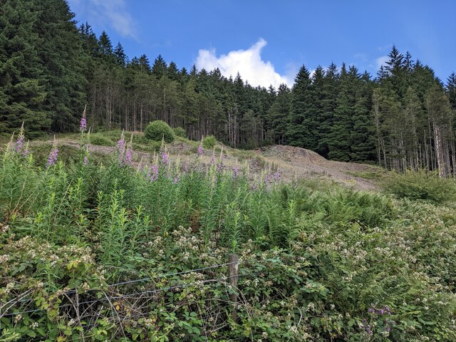
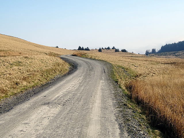
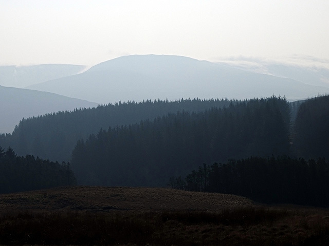
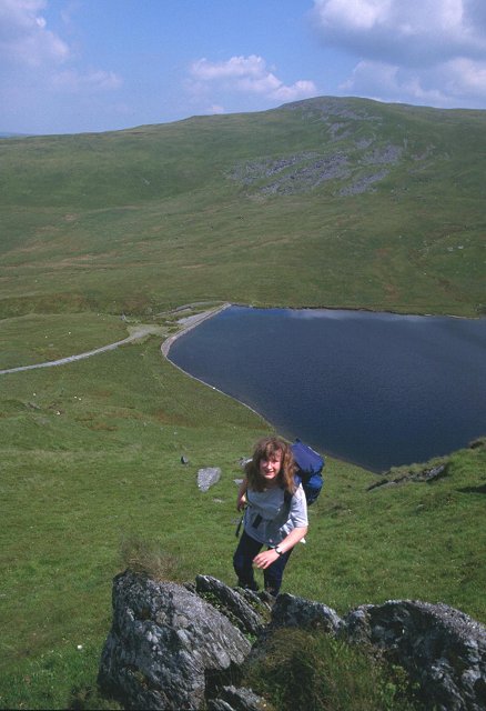
Castell is a small village located in the county of Cardiganshire, Wales. Situated on the west coast of Wales, it lies in the heart of beautiful countryside, surrounded by rolling hills and majestic mountains. The village is perched on a hill, offering stunning panoramic views of the surrounding landscapes.
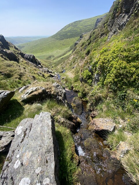
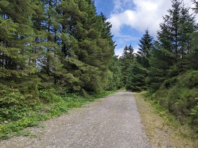
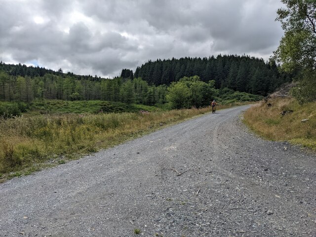
The area is renowned for its natural beauty and is a popular destination for outdoor enthusiasts. The nearby mountain peaks provide excellent opportunities for hiking and mountaineering, attracting visitors from far and wide. The rugged terrain offers both challenging trails for experienced adventurers and more leisurely walks for those seeking a gentler outdoor experience.
Castell itself is a charming village with a rich history. It is home to a small community, with a close-knit atmosphere. The village features traditional stone houses and a picturesque church, adding to its quaint and idyllic charm. The local pub is a popular meeting place for locals and visitors alike, serving up traditional Welsh fare and a warm welcome.
The village is also within easy reach of the coast, with stunning sandy beaches just a short drive away. This proximity to the sea allows for a wide range of water-based activities, such as surfing, sailing, and fishing.
Overall, Castell in Cardiganshire is a hidden gem, offering a perfect blend of natural beauty, outdoor activities, and a sense of community. Whether it's exploring the mountains, soaking up the local culture, or simply enjoying the breathtaking scenery, Castell has something to offer everyone.
If you have any feedback on the listing, please let us know in the comments section below.
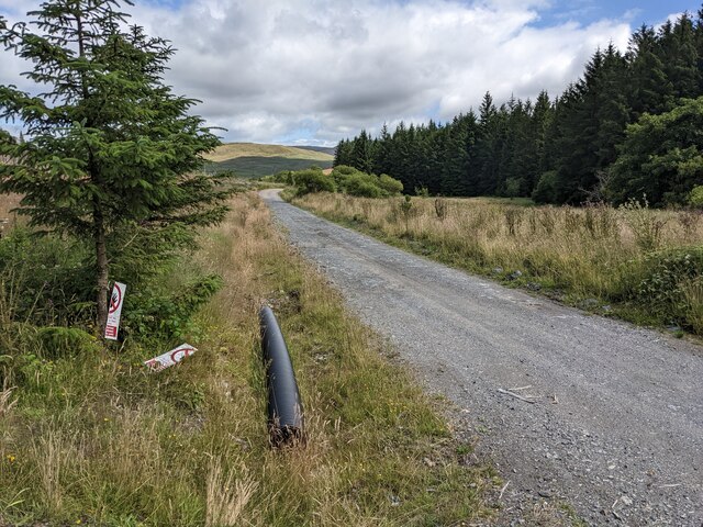
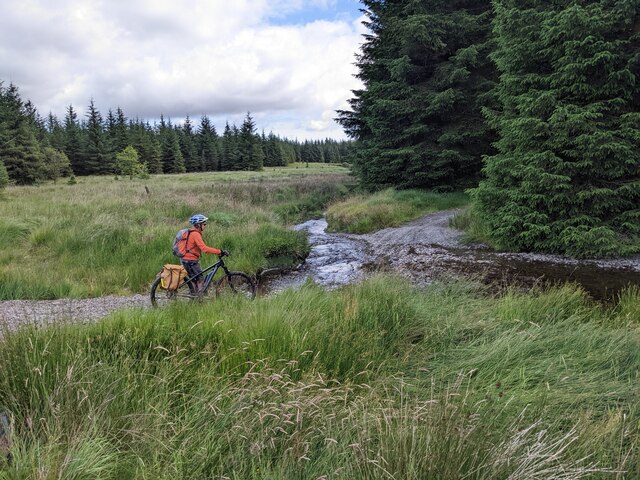
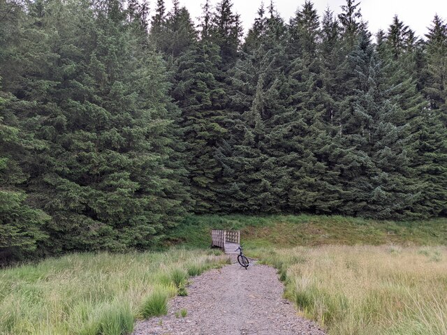
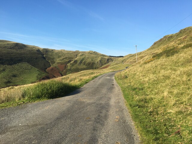
Castell Images
Images are sourced within 2km of 52.501277/-3.8625663 or Grid Reference SN7390. Thanks to Geograph Open Source API. All images are credited.
Castell is located at Grid Ref: SN7390 (Lat: 52.501277, Lng: -3.8625663)
Unitary Authority: Ceredigion
Police Authority: Dyfed Powys
What 3 Words
///trio.divides.stub. Near Machynlleth, Powys
Nearby Locations
Related Wikis

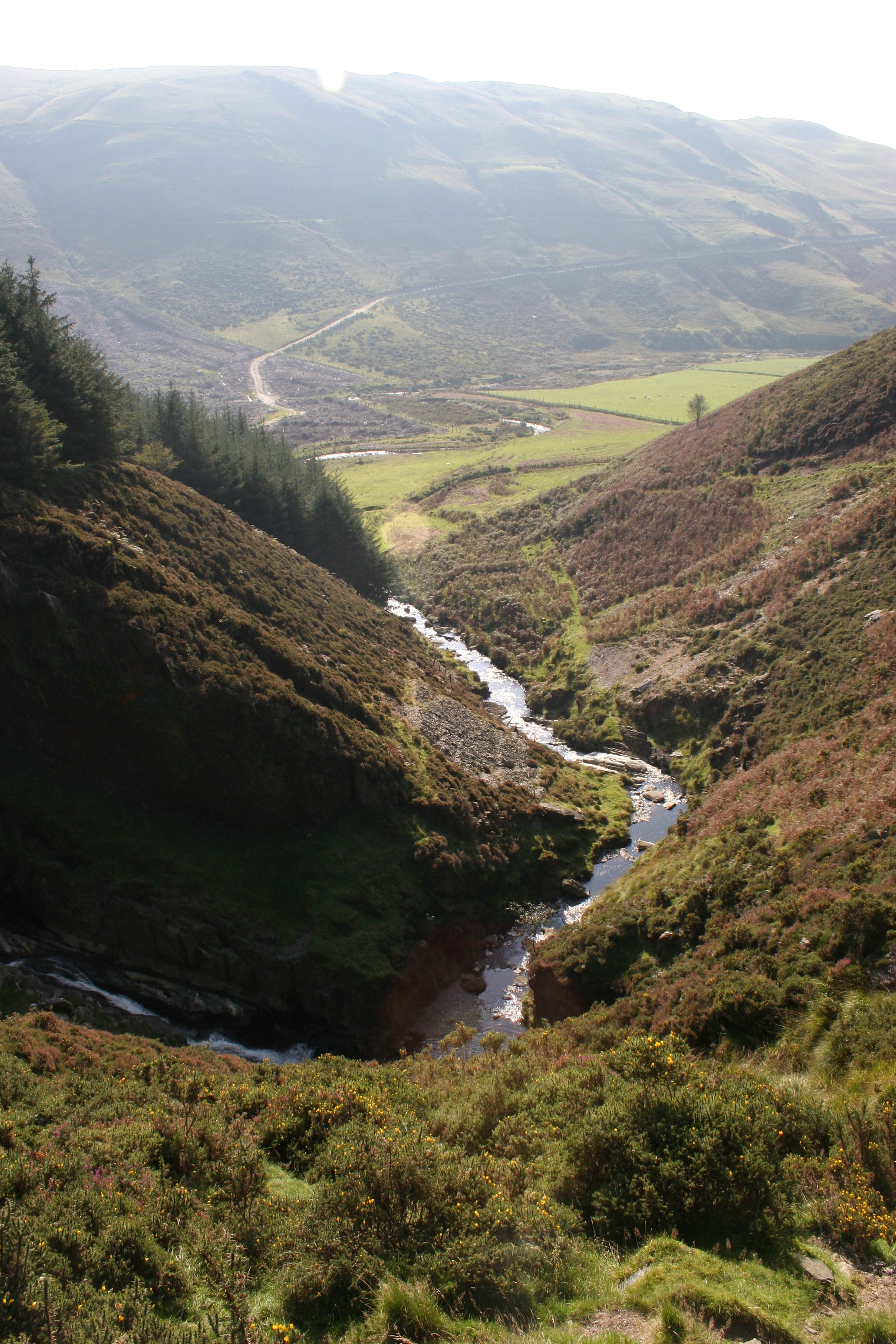
Pistyll y Llyn
Pistyll y Llyn is one of the tallest waterfalls in Wales and the United Kingdom. It is a horsetail style set of falls which are located in the Cambrian...
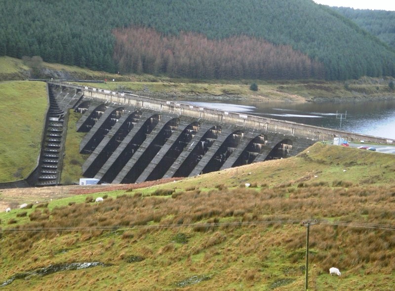
Nant-y-moch Reservoir
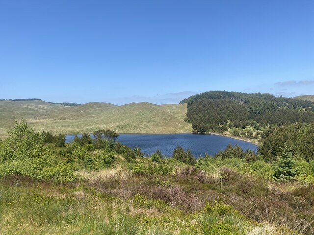
Nant-y-moch Reservoir () is situated in the Cambrian Mountains in northern Ceredigion, Wales, near Pumlumon. The reservoir which flooded a part of the...

Ystrad Einion
Ystrad Einion or Ystrad-Einion is a small village in the community of Ysgubor-y-coed, Ceredigion, Wales, which is 78.7 miles (126.7 km) from Cardiff and...

Battle of Mynydd Hyddgen
The Battle of Mynydd Hyddgen was a battle between the Welsh and English in June 1401. It was part of the Welsh Revolt of 1400-1415 led by Owain Glyndŵr...
Craig-y-pistyll
Craig-y-pistyll is a Site of Special Scientific Interest in Ceredigion, west Wales. It is a reservoir with a dam at one end which supplies water to the...

Coed Cwm Einion
Coed Cwm Einion is a woodland to the east of the village of Furnace, in Ceredigion, west Wales. It is designated a Site of Special Scientific Interest...
Pumlumon Fach
Pumlumon Fach is a top of Pen Pumlumon Fawr on the Plynlimon massif, a part of the Cambrian Mountains in the county of Ceredigion, Wales. It lies on small...

Coed y Garth, Ceredigion
Coed y Garth is a small village in the community of Ysgubor-y-coed, Ceredigion, Wales, which is 79.7 miles (128.2 km) from Cardiff and 176.9 miles (284...
Nearby Amenities
Located within 500m of 52.501277,-3.8625663Have you been to Castell?
Leave your review of Castell below (or comments, questions and feedback).