Black Eldrick
Hill, Mountain in Kirkcudbrightshire
Scotland
Black Eldrick

Black Eldrick is a prominent hill located in the region of Kirkcudbrightshire, in the southwestern part of Scotland. Rising to an elevation of approximately 501 meters (1,644 feet), it is classified as a hill rather than a mountain.
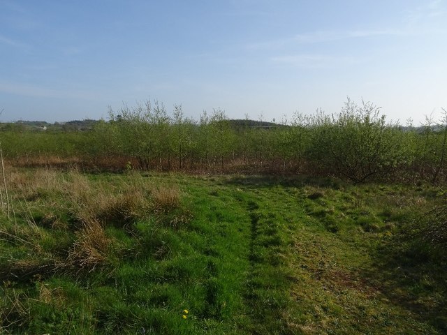
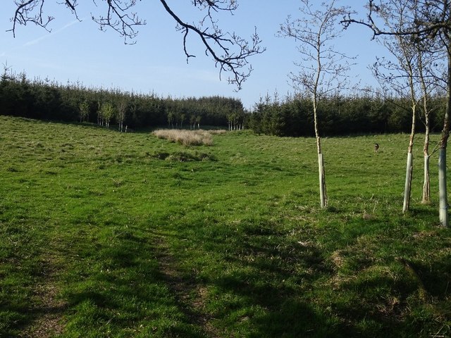
The hill is part of the Rhinns of Kells range, which is known for its stunning natural beauty and diverse wildlife. Black Eldrick stands out with its distinctive dark appearance, thanks to the presence of heather and peat on its slopes. The hill is primarily composed of granite and is covered with a variety of grasses, mosses, and lichens.
The ascent of Black Eldrick is a popular activity among outdoor enthusiasts and hikers due to its accessibility and picturesque views. From the summit, on a clear day, one can enjoy panoramic vistas of the surrounding countryside, including the rolling hills and valleys of Kirkcudbrightshire. The nearby Loch Grannoch adds to the scenic charm of the area.
The hill is home to a range of flora and fauna, including heather, bilberry, and various species of birds like peregrine falcons, red grouse, and curlews. It also provides a habitat for small mammals such as rabbits and foxes.
Black Eldrick offers a pleasant and peaceful environment for those seeking outdoor activities, such as walking, hiking, and birdwatching. Its natural beauty and tranquil atmosphere make it a hidden gem in Kirkcudbrightshire, attracting both locals and tourists alike.
If you have any feedback on the listing, please let us know in the comments section below.
Black Eldrick Images
Images are sourced within 2km of 54.870574/-3.9793563 or Grid Reference NX7354. Thanks to Geograph Open Source API. All images are credited.


Black Eldrick is located at Grid Ref: NX7354 (Lat: 54.870574, Lng: -3.9793563)
Unitary Authority: Dumfries and Galloway
Police Authority: Dumfries and Galloway
What 3 Words
///shins.submitted.fees. Near Kirkcudbright, Dumfries & Galloway
Nearby Locations
Related Wikis

Tongland
Tongland is a small village about 2 miles (3 km) north of Kirkcudbright, in the historic county of Kirkcudbrightshire in Dumfries and Galloway, Scotland...
Tongland Abbey
Tungland or Tongland Abbey was a Premonstratensian monastic community located in Tongland in the historical county of Kirkcudbrightshire in Dumfries and...

Airieland
Airieland is a farm in the historical county of Kirkcudbrightshire, in the Scottish council area of Dumfries and Galloway. It is found 3 miles (5 km) south...

Tarff railway station
Tarff railway station served the village of Ringford, Dumfries and Galloway, Scotland from 1864 to 1965 on the Kirkcudbright Railway. == History == The...
Ringford
Ringford is a village in the historical county of Kirkcudbrightshire in Dumfries and Galloway located at grid reference NX689578 beside the Tarff Water...

Bridge of Dee, Galloway
Bridge of Dee, Galloway is a settlement on the River Dee, Galloway. It lies on the A75 just west of Castle Douglas, and north-east of Kirkcudbright. The...

Bridge of Dee railway station
Bridge of Dee railway station served the settlement of Bridge of Dee, Dumfries and Galloway, Scotland from 1864 to 1949 on the Kirkcudbright Railway....
Kirkcudbright Railway
The Kirkcudbright Railway was a railway branch line linking Kirkcudbright to the Castle Douglas and Dumfries Railway at Castle Douglas. It opened in 1864...
Nearby Amenities
Located within 500m of 54.870574,-3.9793563Have you been to Black Eldrick?
Leave your review of Black Eldrick below (or comments, questions and feedback).