Banc Bwlchygarreg

Hill, Mountain in Cardiganshire

Wales

Banc Bwlchygarreg

Rocks above Afon Ceulan Rocks which have been distorted by compression.
Rocks above Afon Ceulan Credit: Alan Hughes

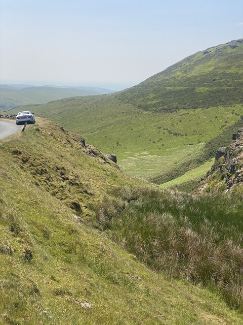
Banc Bwlchygarreg is a prominent hill located in the county of Cardiganshire, Wales. Situated in the stunning countryside, it forms part of the scenic landscape that characterizes this region. With an elevation of approximately 250 meters (820 feet), it offers breathtaking panoramic views of the surrounding areas.

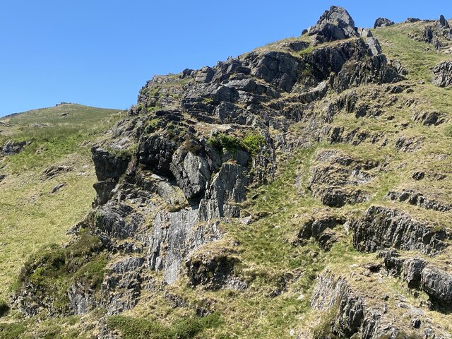
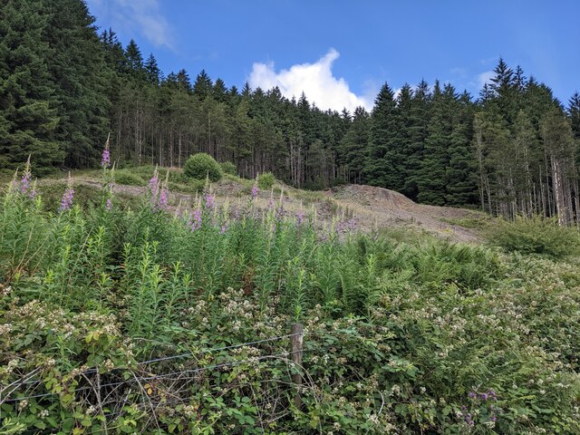
The hill is known for its distinctive shape, resembling a bowl or a large mound. This unique geographical feature is the result of millions of years of natural erosion and weathering. Its slopes are covered with lush green vegetation, including grasses, heather, and wildflowers, providing a picturesque backdrop for nature enthusiasts and hikers.

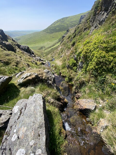
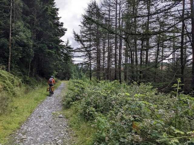
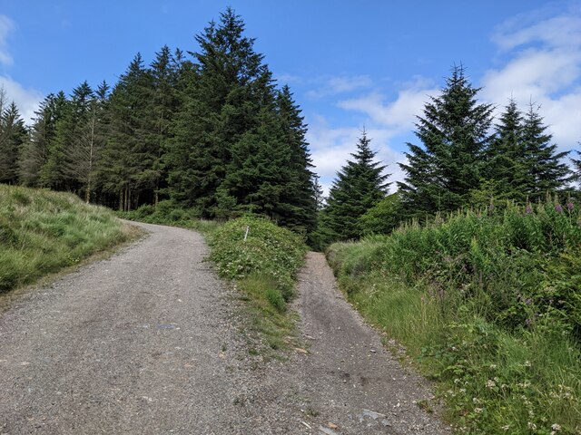
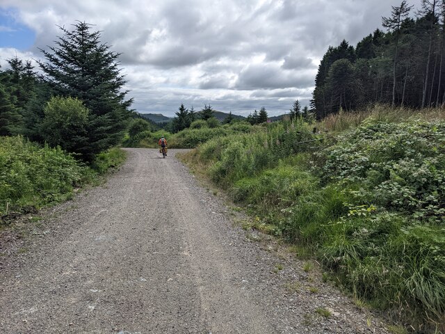
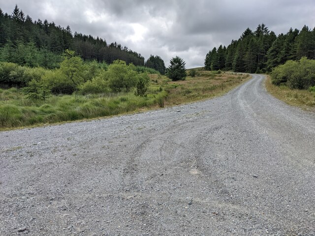
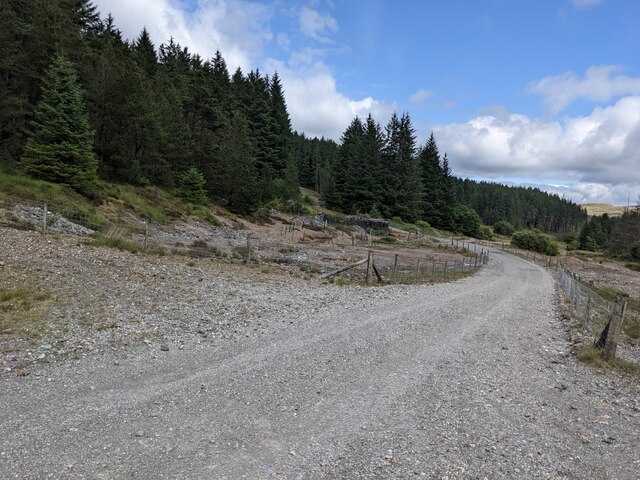
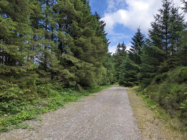
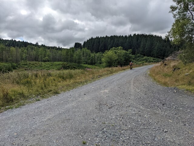
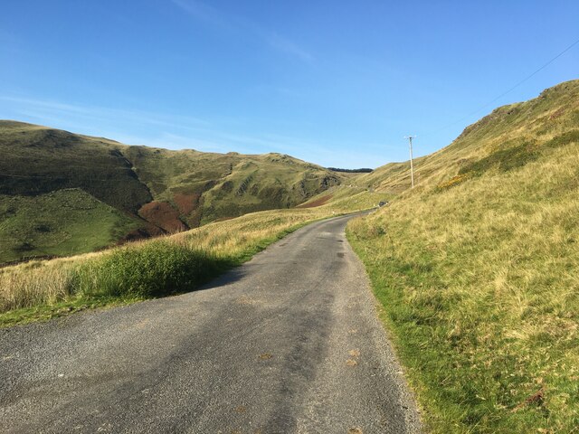
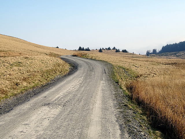
Banc Bwlchygarreg is a popular destination for outdoor activities such as walking, hiking, and bird-watching. There are several well-marked trails that lead up to the summit, making it accessible to both seasoned hikers and casual walkers. Along the way, visitors can enjoy the diverse wildlife that inhabits the area, including birds of prey, small mammals, and a variety of plant species.

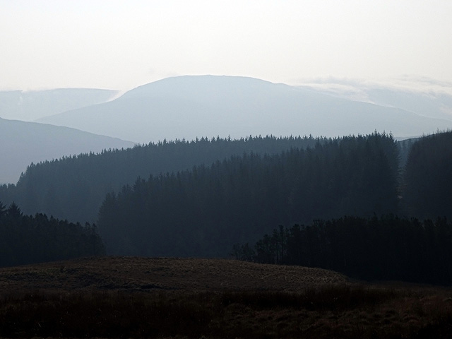
At the top of the hill, visitors are rewarded with stunning views of the surrounding countryside, including rolling hills, meandering rivers, and charming villages. On clear days, it is even possible to see the distant coastline, adding to the awe-inspiring sights that Banc Bwlchygarreg offers.

Overall, Banc Bwlchygarreg is a natural gem in Cardiganshire, attracting nature lovers and outdoor enthusiasts with its scenic beauty and tranquil atmosphere.

If you have any feedback on the listing, please let us know in the comments section below.

Banc Bwlchygarreg Images

Images are sourced within 2km of 52.509575/-3.8728788 or Grid Reference SN7291. Thanks to Geograph Open Source API. All images are credited.

Rocks above Afon Ceulan Rocks which have been distorted by compression.
Rocks above Afon Ceulan
Rocks which have been distorted by compression.
At the head of Cwm Ceulan
Perched on the edge of Cwm Ceulan
Llyn Nantycagal
Llyn Nantycagal
Single-track on the Restricted Byway through the forest
Junction of the forest road and the Restricted Byway
The forest road is also a restricted byway Legally no mechanically powered vehicles are allowed, although presumably forestry machinery can use this!
The forest road is also a restricted byway
Legally no mechanically powered vehicles are allowed, although presumably forestry machinery can use this!
A wide road junction in the forest
Old mine workings on either side of the track The forest road has been built through the old mine area.
Old mine workings on either side of the track
The forest road has been built through the old mine area.
Forest track and Restricted Bridleway This wide road is not indicated as a forest track on the map.
Forest track and Restricted Bridleway
This wide road is not indicated as a forest track on the map.
Mine spoil tips in the forest I could not find any details on-line about this mine, though it was quite extensive.
Mine spoil tips in the forest
I could not find any details on-line about this mine, though it was quite extensive.
The wide track above the Afon Lluestgota
Minor road towards Nant-y-moch Reservoir
Track to Anglers' retreat and Llyn Penrhaeadr There is no indication on the track as regards its status. Maps show it as a restricted byway (no access for mechanically propelled vehicles). In theory it's drivable to Llyn Penrhaeadr (<a href="https://www.geograph.org.uk/gridref/SN755936">SN755936</a> - 4 wheel drive advised) where there's a locked gate. Me, I chose to walk.
Track to Anglers' retreat and Llyn Penrhaeadr
There is no indication on the track as regards its status. Maps show it as a restricted byway (no access for mechanically propelled vehicles). In theory it's drivable to Llyn Penrhaeadr (SN755936 - 4 wheel drive advised) where there's a locked gate. Me, I chose to walk.
Forestry on Esgair Fraith With Banc Lechwydd Mawr the most prominent peak in the view.
Forestry on Esgair Fraith
With Banc Lechwydd Mawr the most prominent peak in the view.
Llyn on Esgair Fraith A significant lake which has not attracted a name on the OS map. It appears to be artificial and was probably associated with the nearby Esgair Fraith mine. It is the main headwater for Afon Lluestgota. Perhaps the name Llyn Esgair Fraith would be appropriate?
Llyn on Esgair Fraith
A significant lake which has not attracted a name on the OS map. It appears to be artificial and was probably associated with the nearby Esgair Fraith mine. It is the main headwater for Afon Lluestgota. Perhaps the name Llyn Esgair Fraith would be appropriate?
Cattle grid on the road to Anglers' Retreat Maps show forestry up to the fence but it has been clear-felled in recent years.
Cattle grid on the road to Anglers' Retreat
Maps show forestry up to the fence but it has been clear-felled in recent years.
Warning of forestry operations At least they haven't closed the area!
Warning of forestry operations
At least they haven't closed the area!
Show me another place!

Banc Bwlchygarreg is located at Grid Ref: SN7291 (Lat: 52.509575, Lng: -3.8728788)

Unitary Authority: Ceredigion

Police Authority: Dyfed Powys

What 3 Words

///lately.towel.balance. Near Machynlleth, Powys

Nearby Locations

Banc Bwlchygarreg

Related Wikis

Ystrad Einion

Ystrad Einion or Ystrad-Einion is a small village in the community of Ysgubor-y-coed, Ceredigion, Wales, which is 78.7 miles (126.7 km) from Cardiff and...

Pistyll y Llyn

Pistyll y Llyn is one of the tallest waterfalls in Wales and the United Kingdom. It is a horsetail style set of falls which are located in the Cambrian...

Coed Cwm Einion

Coed Cwm Einion is a woodland to the east of the village of Furnace, in Ceredigion, west Wales. It is designated a Site of Special Scientific Interest...

Nant-y-moch Reservoir

Nant-y-moch Reservoir () is situated in the Cambrian Mountains in northern Ceredigion, Wales, near Pumlumon. The reservoir which flooded a part of the...

Battle of Mynydd Hyddgen

The Battle of Mynydd Hyddgen was a battle between the Welsh and English in June 1401. It was part of the Welsh Revolt of 1400-1415 led by Owain Glyndŵr...

Coed y Garth, Ceredigion

Coed y Garth is a small village in the community of Ysgubor-y-coed, Ceredigion, Wales, which is 79.7 miles (128.2 km) from Cardiff and 176.9 miles (284...

Dyfi Furnace

Dyfi Furnace is a restored mid 18th century charcoal fired blast furnace used for smelting iron ore. It has given its name to the adjoining hamlet of Furnace...

Furnace, Ceredigion

Furnace (Welsh: Ffwrnais) is a hamlet in Ceredigion, Wales on the A487 trunk road from Machynlleth to Aberystwyth, near Eglwysfach. It is the location...

Have you been to Banc Bwlchygarreg?

Leave your review of Banc Bwlchygarreg below (or comments, questions and feedback).