Craigengelt Hill

Hill, Mountain in Stirlingshire

Scotland

Craigengelt Hill

Rough grazing, Earl's Hill Seen from the Cringate Road.
Rough grazing, Earl's Hill Credit: Richard Webb

Craigengelt Hill is a prominent hill located in the county of Stirlingshire, Scotland. Situated approximately 15 miles northwest of Stirling, it forms part of the Campsie Fells range and is renowned for its scenic beauty and historical significance. With an elevation of 339 meters (1,112 feet), it offers panoramic views of the surrounding countryside, including the nearby Fintry Hills and the Campsie Glen.

The hill is composed of igneous rock, primarily basalt, which gives it a distinctive appearance. Its slopes are covered in a mix of heather, grasses, and scattered shrubs, providing a habitat for a variety of wildlife and plant species. The area is particularly rich in birdlife, with species such as red kites, kestrels, and buzzards often seen soaring above the hill.

Craigengelt Hill has a deep historical connection, with evidence of human activity dating back to the Bronze Age. Archaeological investigations have revealed the presence of ancient burial mounds, standing stones, and remnants of settlements. These findings indicate that the hill was an important site for early human communities, possibly due to its strategic location and fertile surroundings.

Today, Craigengelt Hill attracts outdoor enthusiasts and walkers who can enjoy a range of hiking trails that traverse its slopes. The most popular route starts from the village of Fintry and takes visitors through a mixture of woodland and open moorland before reaching the summit. Along the way, walkers can spot various landmarks, including the remains of an Iron Age fort and a ruined 18th-century farmhouse. Overall, Craigengelt Hill offers a captivating blend of natural beauty and historical intrigue, making it a must-visit destination in Stirlingshire.

If you have any feedback on the listing, please let us know in the comments section below.

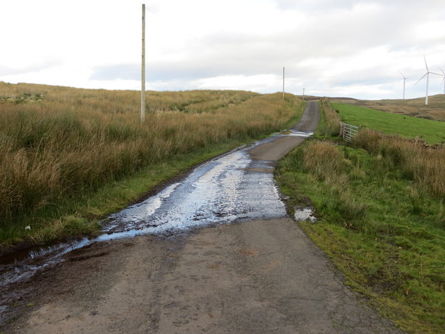
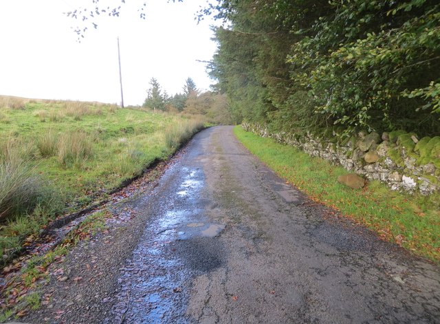
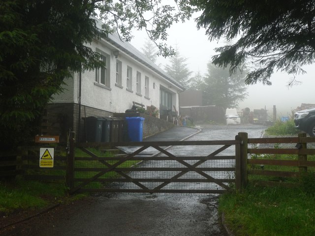
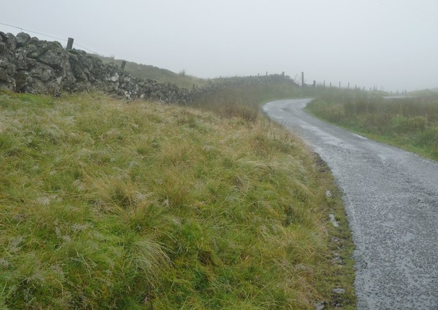
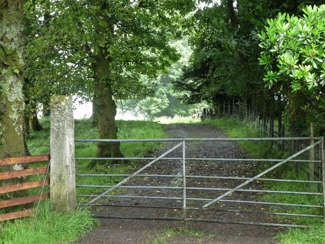
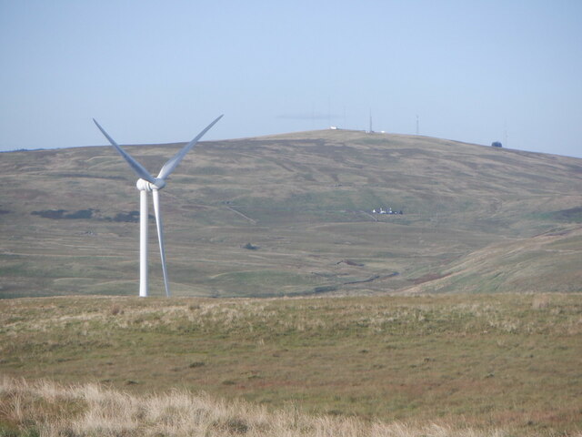
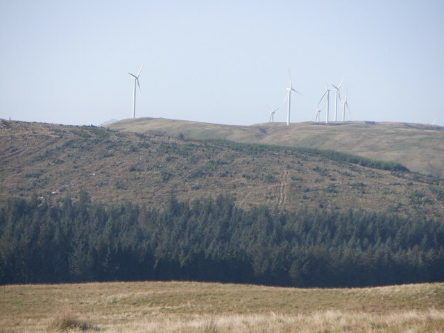
Craigengelt Hill Images

Images are sourced within 2km of 56.054868/-4.0509014 or Grid Reference NS7286. Thanks to Geograph Open Source API. All images are credited.

Rough grazing, Earl's Hill Seen from the Cringate Road.
Rough grazing, Earl's Hill
Seen from the Cringate Road.
Road between Easter Cringate and Easter Cringate Cottages Looking eastward.
Road between Easter Cringate and Easter Cringate Cottages
Looking eastward.
Track from minor road leading to Cringate Muir Looking north-westward.
Track from minor road leading to Cringate Muir
Looking north-westward.
Road between Easter Cringate Cottages and Ryecroft Looking north-eastward.
Road between Easter Cringate Cottages and Ryecroft
Looking north-eastward.
Track from minor road to Earl's Hill Looking north-westward.
Track from minor road to Earl's Hill
Looking north-westward.
Road at Easter Cringate Looking north-eastward. There appears to be some confusion about the name - Clingate on 1:25000 and Cringate on 1:50000 OS maps. I have chosen the latter to conform to the surrounding locations.
Road at Easter Cringate
Looking north-eastward. There appears to be some confusion about the name - Clingate on 1:25000 and Cringate on 1:50000 OS maps. I have chosen the latter to conform to the surrounding locations.
Ryecroft from the air On a minor road between Stirling and Carron Valley.
Ryecroft from the air
On a minor road between Stirling and Carron Valley.
Ryecroft, a cottage at the foot of Earl's Hill
Road across the moors on Earl's Hill
Waterfall on Earl's Burn
Farm access road at Easter Cringate
Wind turbine and Earl's Hill View from the summit of Craigannet Hill
Wind turbine and Earl's Hill
View from the summit of Craigannet Hill
Forestry on Cairnoch Hill
Craigannet Farm Wind Turbine A single turbine with the older Craigengelt turbines in the background.
Craigannet Farm Wind Turbine
A single turbine with the older Craigengelt turbines in the background.
Pasture on Craigannet Hill Grazed by cattle.
Pasture on Craigannet Hill
Grazed by cattle.
Road from the Craigannet Farm wind turbine
Forest edge and Earl's Hill
Sitka plantation, Cairnoch Hill
Show me another place!

Craigengelt Hill is located at Grid Ref: NS7286 (Lat: 56.054868, Lng: -4.0509014)

Unitary Authority: Stirling

Police Authority: Forth Valley

What 3 Words

///crunched.married.dragons. Near Kilsyth, North Lanarkshire

Nearby Locations

Craigengelt Hill

Related Wikis

Stirling Transmitting Station

Stirling Transmitting Station is a transmission facility on Earl's Hill southwest of Stirling, Scotland. It was built at the end of the 1950s for the radio...

Central 103.1 FM

Central 103.1 FM is an Independent Local Radio station serving Falkirk, Stirling, Clackmannanshire and the Forth Valley. It is owned and operated by businessman...

Duncarron

Duncarron is a modern reproduction of a fortified village from the early Middle Ages of Scotland. It is the reconstruction of a typical residence of a...

Dundaff Castle, Stirling

Dundaff Castle, also known as Sir John de Graham Castle or Graham's Castle, is a ruined 12th century square motte and bailey castle in the Stirling council...

Nearby Amenities

Located within 500m of 56.054868,-4.0509014
Craigengelt Hill
Corbett: no
Ele: 353
Ele Ft: 1159
Munro: no
Natural: peak
Lat/Long: 56.0539465/-4.0480763
Branch: Natural Power
Generator Method: wind_turbine
Generator Output Electricity: 2.5 MW
Generator Source: wind
Generator Type: horizontal_axis
Height: 80 m
Manufacturer: Nordex
Model: N90
Operator: GDF Suez Energy UK
Power: generator
Rotor Diameter: 90 m
Start Date: March 2010
Lat/Long: 56.0526047/-4.0442956
Branch: Natural Power
Generator Method: wind_turbine
Generator Output Electricity: 2.5 MW
Generator Source: wind
Generator Type: horizontal_axis
Height: 80 m
Manufacturer: Nordex
Model: N90
Operator: GDF Suez Energy UK
Power: generator
Rotor Diameter: 90 m
Start Date: March 2010
Lat/Long: 56.0546478/-4.0475359
Branch: Natural Power
Generator Method: wind_turbine
Generator Output Electricity: 2.5 MW
Generator Source: wind
Generator Type: horizontal_axis
Height: 80 m
Manufacturer: Nordex
Model: N90
Operator: GDF Suez Energy UK
Power: generator
Rotor Diameter: 90 m
Start Date: March 2010
Lat/Long: 56.0562412/-4.0504648
Branch: Natural Power
Generator Method: wind_turbine
Generator Output Electricity: 2.5 MW
Generator Source: wind
Generator Type: horizontal_axis
Height: 80 m
Manufacturer: Nordex
Model: N90
Operator: GDF Suez Energy UK
Power: generator
Rotor Diameter: 90 m
Start Date: March 2010
Lat/Long: 56.0544142/-4.0575995
Branch: Natural Power
Generator Method: wind_turbine
Generator Output Electricity: 2.5 MW
Generator Source: wind
Generator Type: horizontal_axis
Height: 80 m
Manufacturer: Nordex
Model: N90
Operator: GDF Suez Energy UK
Power: generator
Rotor Diameter: 90 m
Start Date: March 2010
Lat/Long: 56.0523531/-4.0549816
The data included in this document is from www.openstreetmap.org. The data is made available under ODbL.

Have you been to Craigengelt Hill?

Leave your review of Craigengelt Hill below (or comments, questions and feedback).