Bryn Mawr
Hill, Mountain in Cardiganshire
Wales
Bryn Mawr
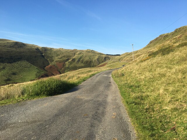
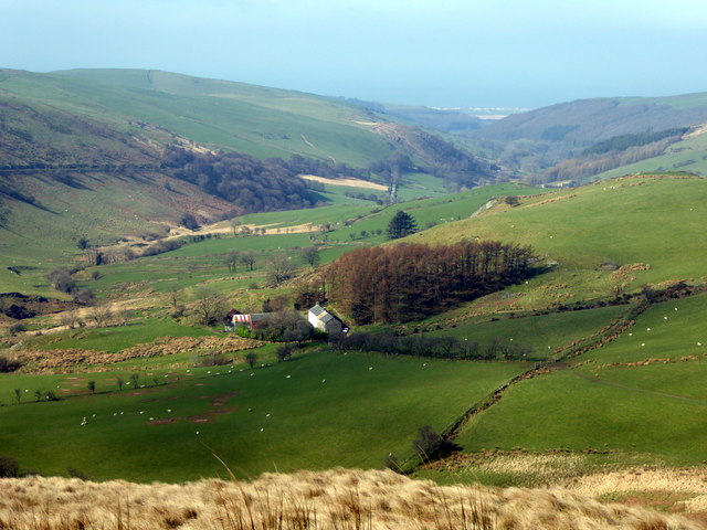
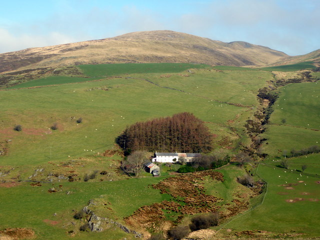
Bryn Mawr is a hill located in Cardiganshire, a historic county in Wales, United Kingdom. Situated in the western part of the county, it is part of the Cambrian Mountains range. With an elevation of approximately 482 meters (1,581 feet), Bryn Mawr offers stunning panoramic views of the surrounding countryside.
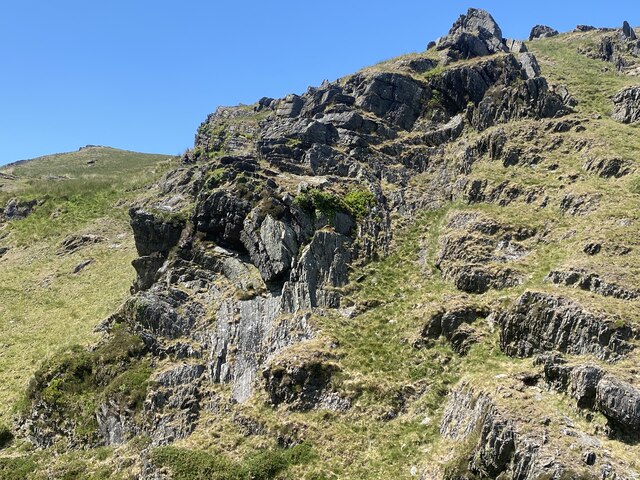
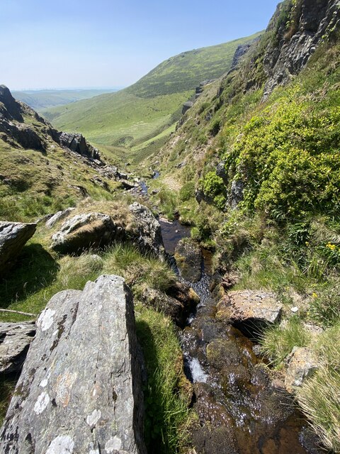
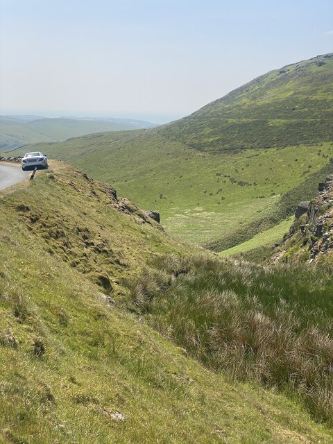
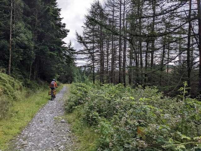
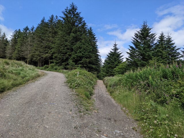
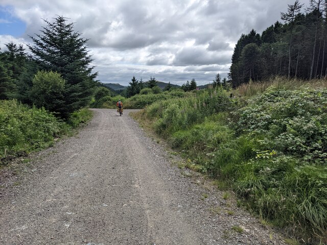
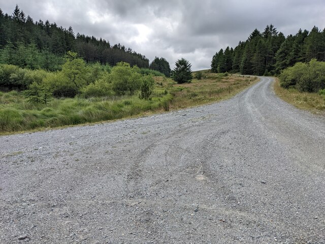
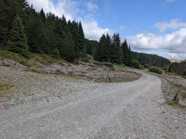
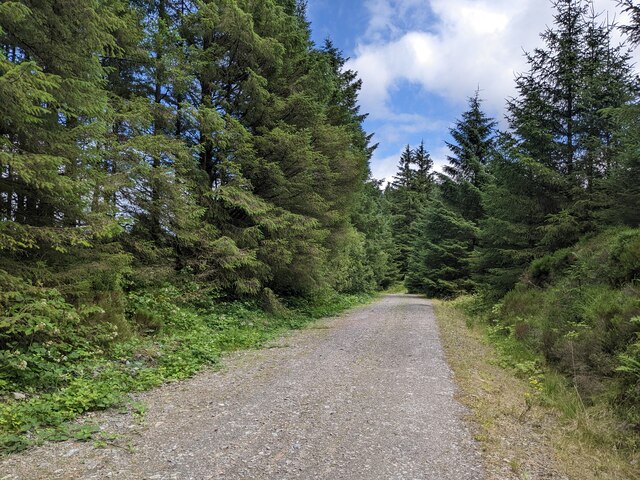
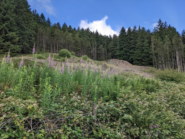
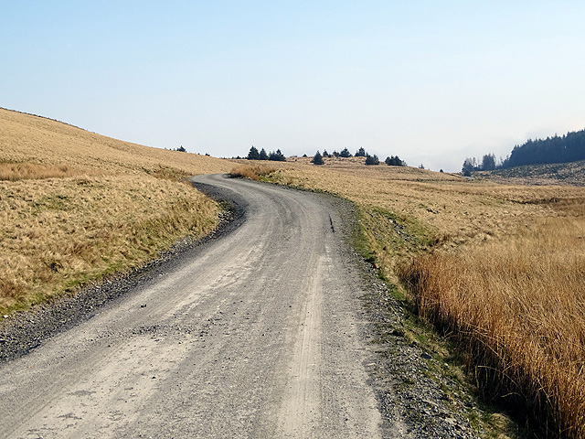
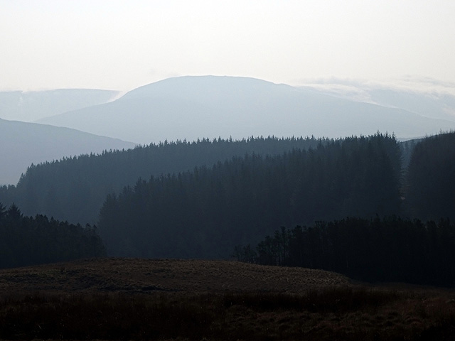
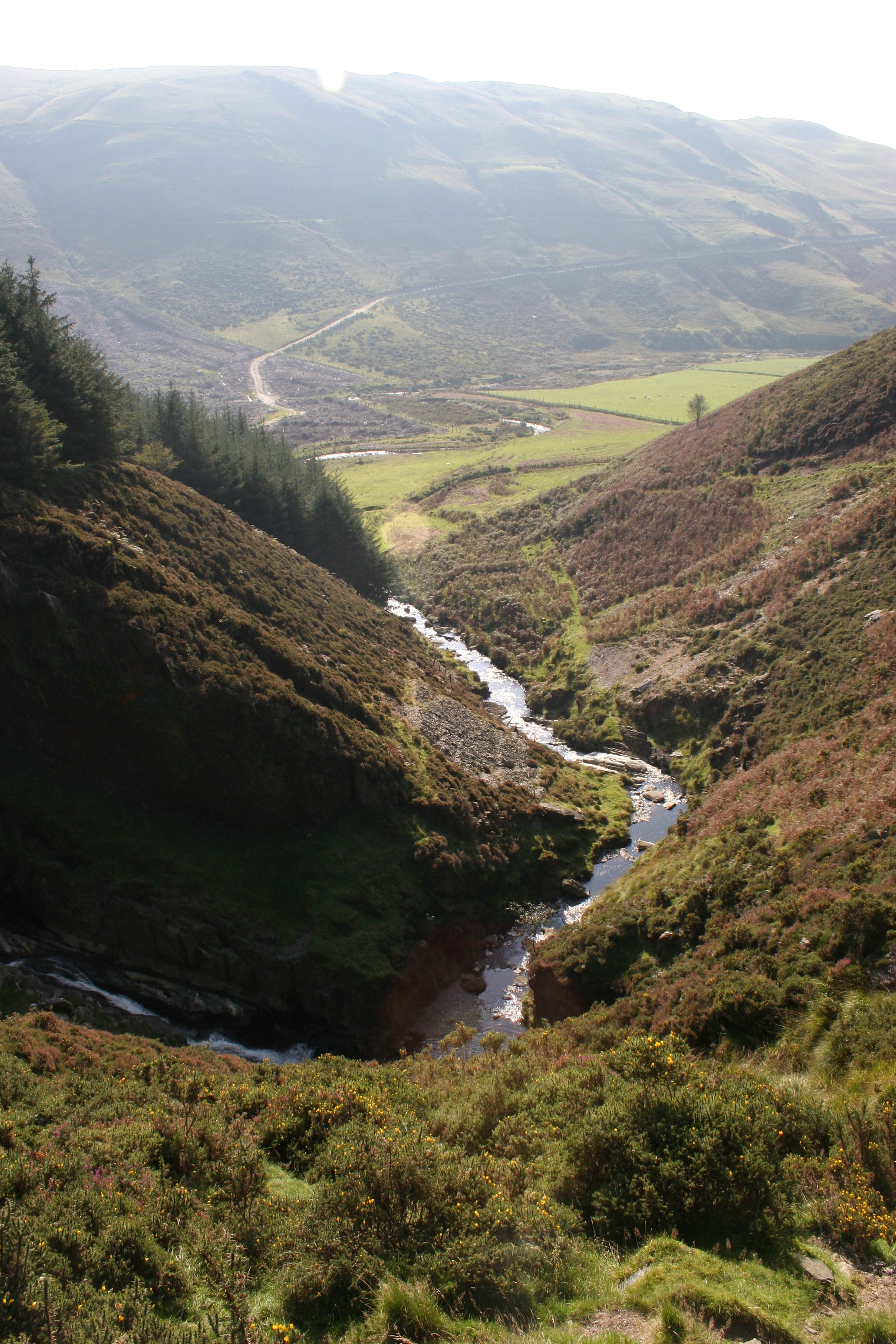
The hill is covered in lush greenery, with a mixture of grasses, heather, and scattered trees. Its slopes are gentle, making it accessible for hikers and nature enthusiasts of varying levels of experience. The terrain is mostly rocky, with occasional streams trickling down its sides, adding to its scenic beauty.
Bryn Mawr is known for its rich biodiversity, housing a variety of plant and animal species. The hill provides a habitat for a range of bird species, including buzzards, red kites, and peregrine falcons. It is also home to mammals such as rabbits, foxes, and badgers.
The hill attracts visitors throughout the year who come to enjoy its natural beauty and tranquility. It offers numerous hiking trails, allowing visitors to explore its picturesque surroundings and take in the breathtaking views. On clear days, it is possible to see as far as the Irish Sea to the west and the Snowdonia National Park to the north.
Bryn Mawr is not only a natural gem but also holds cultural significance. It has been a source of inspiration for local artists and writers, and its beauty has been captured in numerous works of art and literature.
Overall, Bryn Mawr in Cardiganshire is a captivating hill that offers a peaceful escape into nature, boasting stunning vistas and an abundance of wildlife.
If you have any feedback on the listing, please let us know in the comments section below.
Bryn Mawr Images
Images are sourced within 2km of 52.498671/-3.8817997 or Grid Reference SN7290. Thanks to Geograph Open Source API. All images are credited.


Bryn Mawr is located at Grid Ref: SN7290 (Lat: 52.498671, Lng: -3.8817997)
Unitary Authority: Ceredigion
Police Authority: Dyfed Powys
What 3 Words
///villa.glassware.remaining. Near Machynlleth, Powys
Nearby Locations
Related Wikis

Ystrad Einion
Ystrad Einion or Ystrad-Einion is a small village in the community of Ysgubor-y-coed, Ceredigion, Wales, which is 78.7 miles (126.7 km) from Cardiff and...
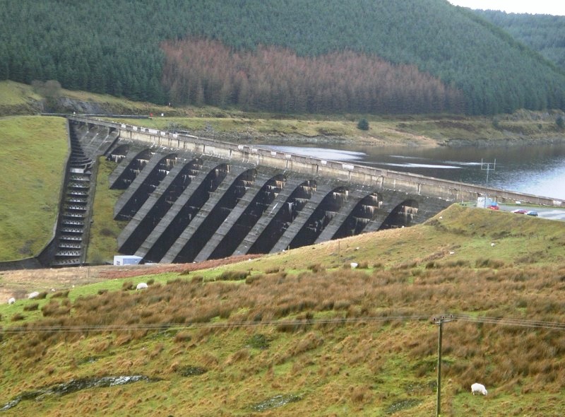
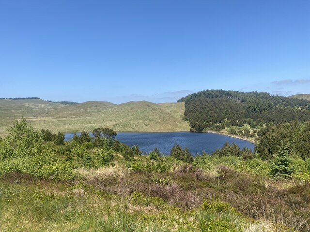
Nant-y-moch Reservoir
Nant-y-moch Reservoir () is situated in the Cambrian Mountains in northern Ceredigion, Wales, near Pumlumon. The reservoir which flooded a part of the...

Pistyll y Llyn
Pistyll y Llyn is one of the tallest waterfalls in Wales and the United Kingdom. It is a horsetail style set of falls which are located in the Cambrian...
Craig-y-pistyll
Craig-y-pistyll is a Site of Special Scientific Interest in Ceredigion, west Wales. It is a reservoir with a dam at one end which supplies water to the...

Coed Cwm Einion
Coed Cwm Einion is a woodland to the east of the village of Furnace, in Ceredigion, west Wales. It is designated a Site of Special Scientific Interest...
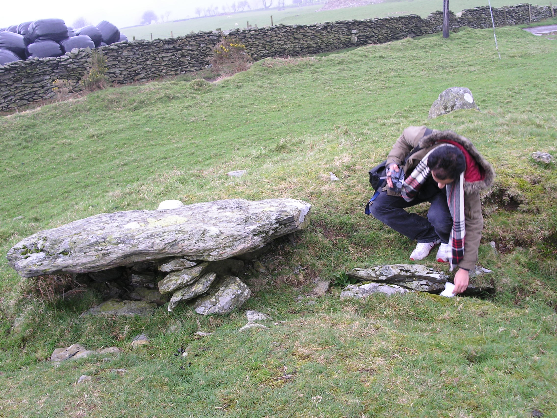
Bedd Taliesin
Bedd Taliesin is the legendary grave (bedd) of the poet Taliesin, located in Ceredigion, Wales. The Bronze Age round cairn is a listed Historic Monument...

Coed y Garth, Ceredigion
Coed y Garth is a small village in the community of Ysgubor-y-coed, Ceredigion, Wales, which is 79.7 miles (128.2 km) from Cardiff and 176.9 miles (284...

Bont Goch
Bont Goch (also known as Bontgoch or Elerch) is a village in Ceredigion, Wales, 2 miles (3.2 km) northeast of Aberystwyth. With Talybont, it is in the...
Nearby Amenities
Located within 500m of 52.498671,-3.8817997Have you been to Bryn Mawr?
Leave your review of Bryn Mawr below (or comments, questions and feedback).