Clogwynyreryr
Hill, Mountain in Caernarfonshire
Wales
Clogwynyreryr
Clogwynyreryr is a prominent hill/mountain located in Caernarfonshire, Wales. It is situated within the Snowdonia National Park, offering stunning views and a challenging terrain for outdoor enthusiasts. With an elevation of approximately 609 meters (2,000 feet), Clogwynyreryr is considered a significant peak in the region.
This hill/mountain is part of the Snowdon massif, which is known for its rugged beauty and diverse flora and fauna. Clogwynyreryr is characterized by its steep slopes and rocky outcrops, making it a popular destination for hikers and climbers seeking a thrilling adventure. The terrain is predominantly rocky, with some grassy areas and patches of heather.
The summit of Clogwynyreryr offers breathtaking panoramic views of the surrounding landscapes, including the nearby peaks of Snowdon, Glyderau, and Carneddau. On a clear day, visitors can even catch a glimpse of Anglesey and the Irish Sea in the distance.
Access to Clogwynyreryr can be gained through various hiking routes, with the most popular being the Rhyd Ddu Path, which starts from the village of Rhyd Ddu. This path leads hikers through diverse landscapes, including woodlands, moorland, and eventually onto the rocky slopes of Clogwynyreryr. The ascent can be challenging, requiring a good level of fitness and proper hiking gear.
Overall, Clogwynyreryr is a magnificent hill/mountain that offers a thrilling and rewarding experience for outdoor enthusiasts. Its stunning scenery, challenging terrain, and proximity to Snowdonia National Park make it a must-visit destination for those seeking an adventure in Caernarfonshire.
If you have any feedback on the listing, please let us know in the comments section below.
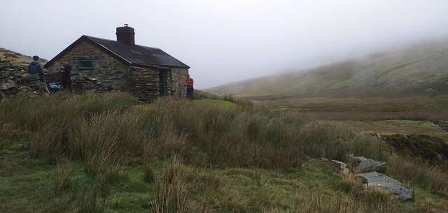
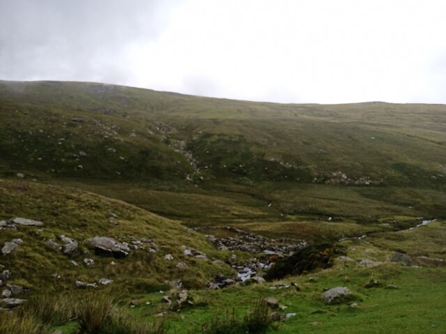
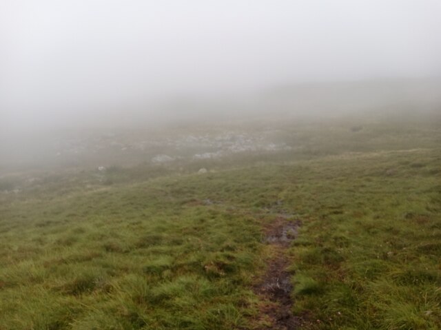
Clogwynyreryr Images
Images are sourced within 2km of 53.182128/-3.9155287 or Grid Reference SH7266. Thanks to Geograph Open Source API. All images are credited.


Clogwynyreryr is located at Grid Ref: SH7266 (Lat: 53.182128, Lng: -3.9155287)
Unitary Authority: Conwy
Police Authority: North Wales
What 3 Words
///cemented.sour.berated. Near Aber, Gwynedd
Nearby Locations
Related Wikis

Afon Melynllyn
Afon Melynllyn is the outflow from Llyn Melynllyn, a lake in the Carneddau mountains in north-west Wales. It is a tributary of Afon Dulyn, itself a tributary...

Llyn Eigiau
Llyn Eigiau is a lake on the edge of the Carneddau range of mountains in Snowdonia, Conwy, Wales. The name Eigiau is thought to refer to the shoals of...

Llyn Dulyn
Llyn Dulyn (Welsh for 'black lake') is a lake on the edge of the Carneddau range of mountains in Snowdonia, North Wales. The lake is 33 acres (130,000...

Llyn Melynllyn
Llyn Melynllyn (Welsh for 'yellow lake') is a lake within the Carneddau range of mountains in Snowdonia, North Wales. It lies at a height of just over...
Nearby Amenities
Located within 500m of 53.182128,-3.9155287Have you been to Clogwynyreryr?
Leave your review of Clogwynyreryr below (or comments, questions and feedback).