Cock Hill
Hill, Mountain in Stirlingshire
Scotland
Cock Hill

Cock Hill is a prominent hill located in Stirlingshire, Scotland. Situated within the picturesque Stirling Council area, it is part of the Ochil Hills range, which stretches across the counties of Perth and Kinross, Clackmannanshire, and Stirling. Rising to an elevation of 455 meters (1,493 feet), Cock Hill offers breathtaking panoramic views of the surrounding countryside.
The hill is easily accessible for outdoor enthusiasts, with various walking trails and well-marked paths leading up to its summit. Its relatively gentle incline makes it a popular choice for hikers of all levels of experience. As visitors ascend the hill, they are rewarded with stunning vistas of the rolling Stirlingshire landscape, including the nearby towns of Alva and Tillicoultry.
Cock Hill is a haven for wildlife, with an array of flora and fauna inhabiting its slopes. The hill is known for its heather-covered moorland, which bursts into vibrant purple hues during the summer months. Birdwatchers are often treated to sightings of various species, including buzzards, kestrels, and peregrine falcons, soaring above the hill.
For history enthusiasts, Cock Hill holds significant archaeological importance. The summit features the remains of an Iron Age hillfort, which provides a glimpse into the area's ancient past. The hillfort is believed to have been occupied between 500 BCE and 500 CE, and its defensive earthworks and ditches can still be seen to this day.
Overall, Cock Hill in Stirlingshire is a captivating destination that offers a blend of natural beauty, recreational opportunities, and historical intrigue, making it a must-visit for both locals and tourists alike.
If you have any feedback on the listing, please let us know in the comments section below.
Cock Hill Images
Images are sourced within 2km of 56.019996/-4.0548283 or Grid Reference NS7282. Thanks to Geograph Open Source API. All images are credited.


Cock Hill is located at Grid Ref: NS7282 (Lat: 56.019996, Lng: -4.0548283)
Unitary Authority: North Lanarkshire
Police Authority: Lanarkshire
What 3 Words
///masks.oiled.pony. Near Kilsyth, North Lanarkshire
Nearby Locations
Related Wikis

Duncarron
Duncarron is a modern reproduction of a fortified village from the early Middle Ages of Scotland. It is the reconstruction of a typical residence of a...
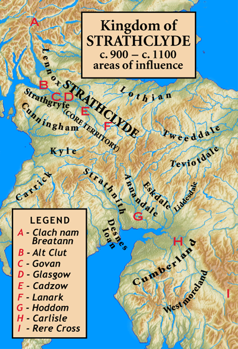
Kingdom of Strathclyde
Strathclyde (lit. "broad valley of the Clyde", Welsh: Ystrad Clud, Latin: Cumbria) was a Brittonic kingdom in northern Britain during the Middle Ages....

Colzium
Colzium House and Estate (pronounced Coal-Zee-Um) is about 500 metres to the north-east of Kilsyth, North Lanarkshire, Scotland. The present house dates...

Peggie's Spout
Peggie's Spout is a waterfall of Scotland. == See also == Waterfalls of Scotland == References ==
Have you been to Cock Hill?
Leave your review of Cock Hill below (or comments, questions and feedback).