An Dùn

Hill, Mountain in Inverness-shire

Scotland

An Dùn

On the East side of An Dùn A classic U-shaped glaciated valley at Gaick.
On the East side of An Dùn Credit: Alan Reid

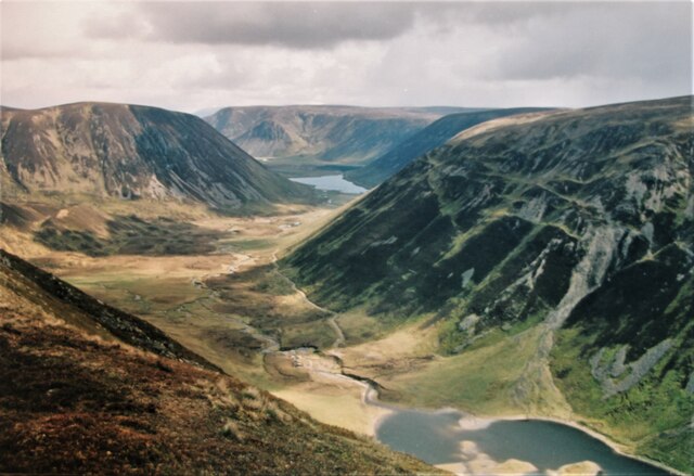
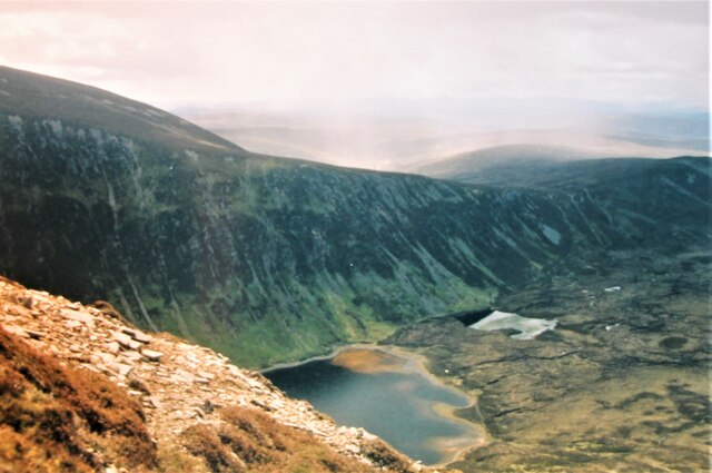
An Dùn is a prominent hill located in Inverness-shire, Scotland. It is situated near the village of Farr, approximately 10 miles from Inverness. The hill stands at an elevation of 1,047 feet (319 meters) above sea level, offering stunning panoramic views of the surrounding countryside.

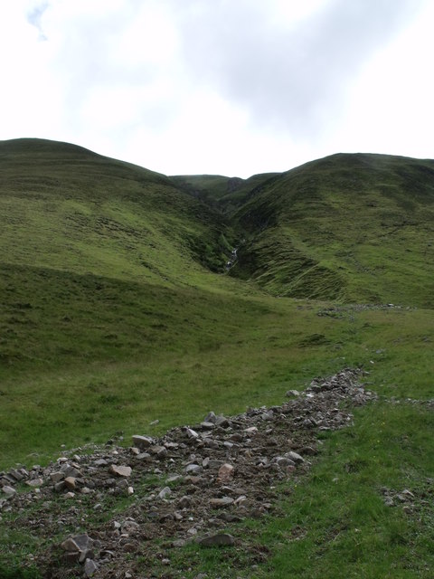
An Dùn is a popular destination for hikers and outdoor enthusiasts, with a well-defined trail leading to the summit. The hike is relatively moderate in difficulty, making it accessible to hikers of all skill levels. Along the way, visitors can enjoy the diverse flora and fauna that call the hill home, including heather, wildflowers, and various bird species.

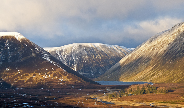
At the top of An Dùn, hikers are rewarded with breathtaking views of the Scottish Highlands, including the nearby Beauly Firth and Moray Firth. On a clear day, it is possible to see all the way to the Cairngorms and Ben Wyvis mountain ranges.

Overall, An Dùn is a beautiful and peaceful retreat for those looking to explore the natural beauty of the Scottish countryside and enjoy a challenging yet rewarding hike.

If you have any feedback on the listing, please let us know in the comments section below.
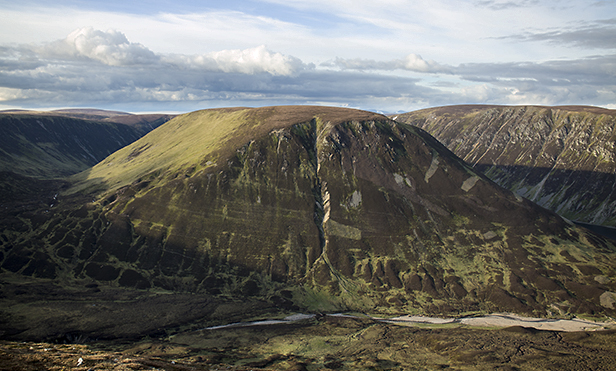
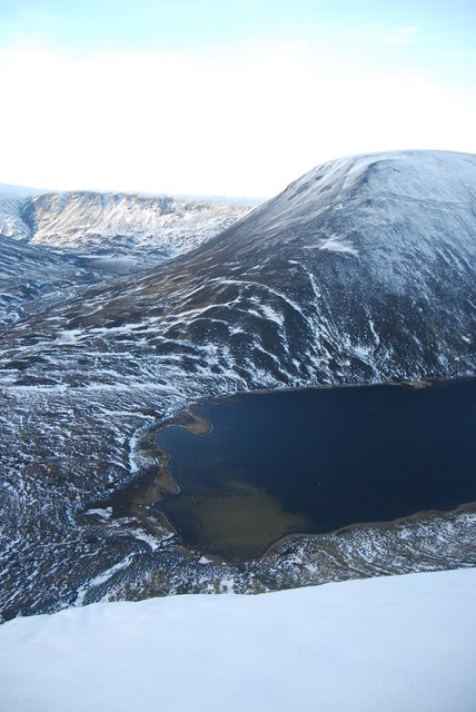
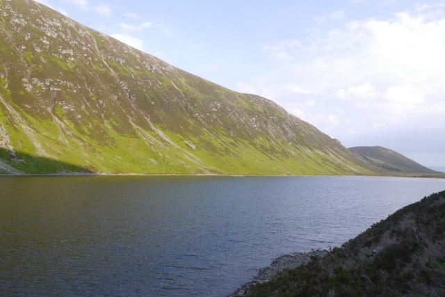
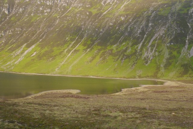
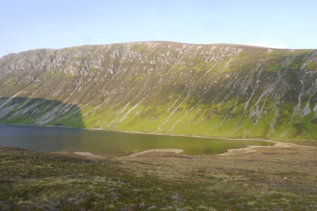
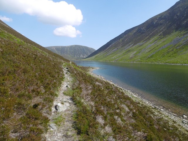
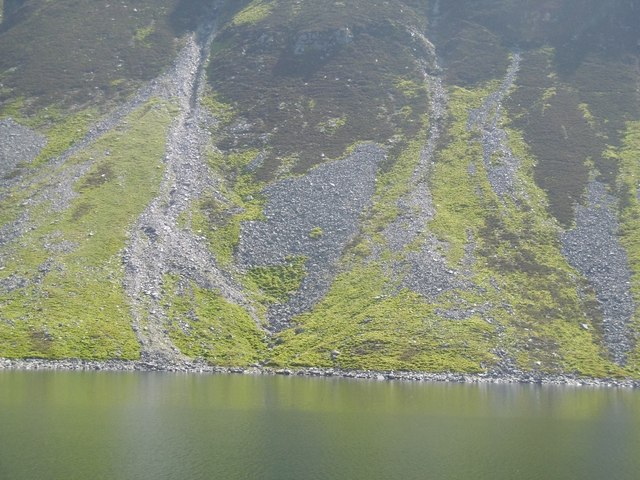
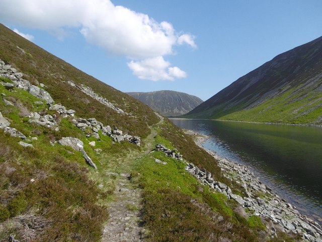
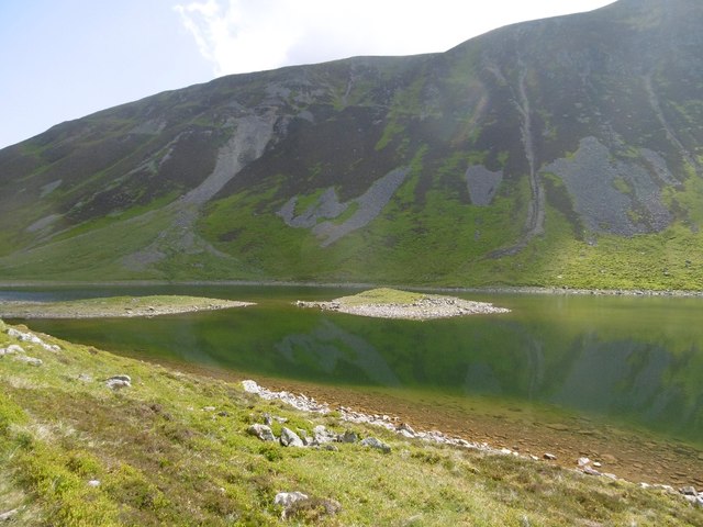
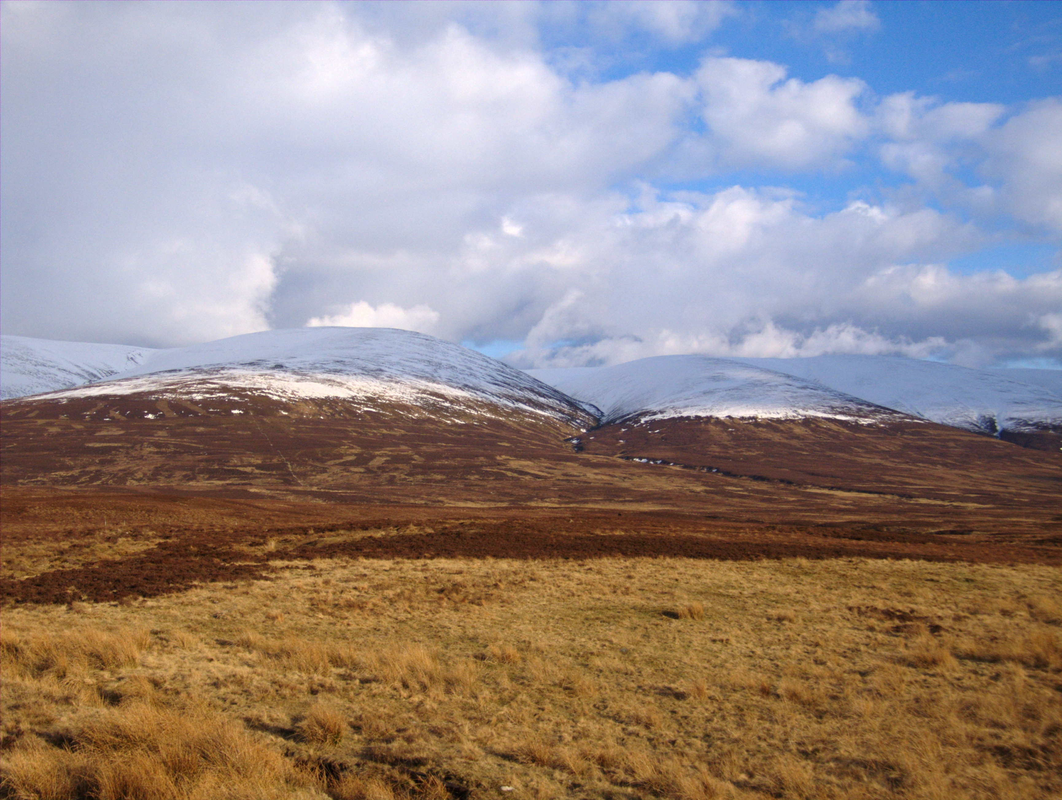
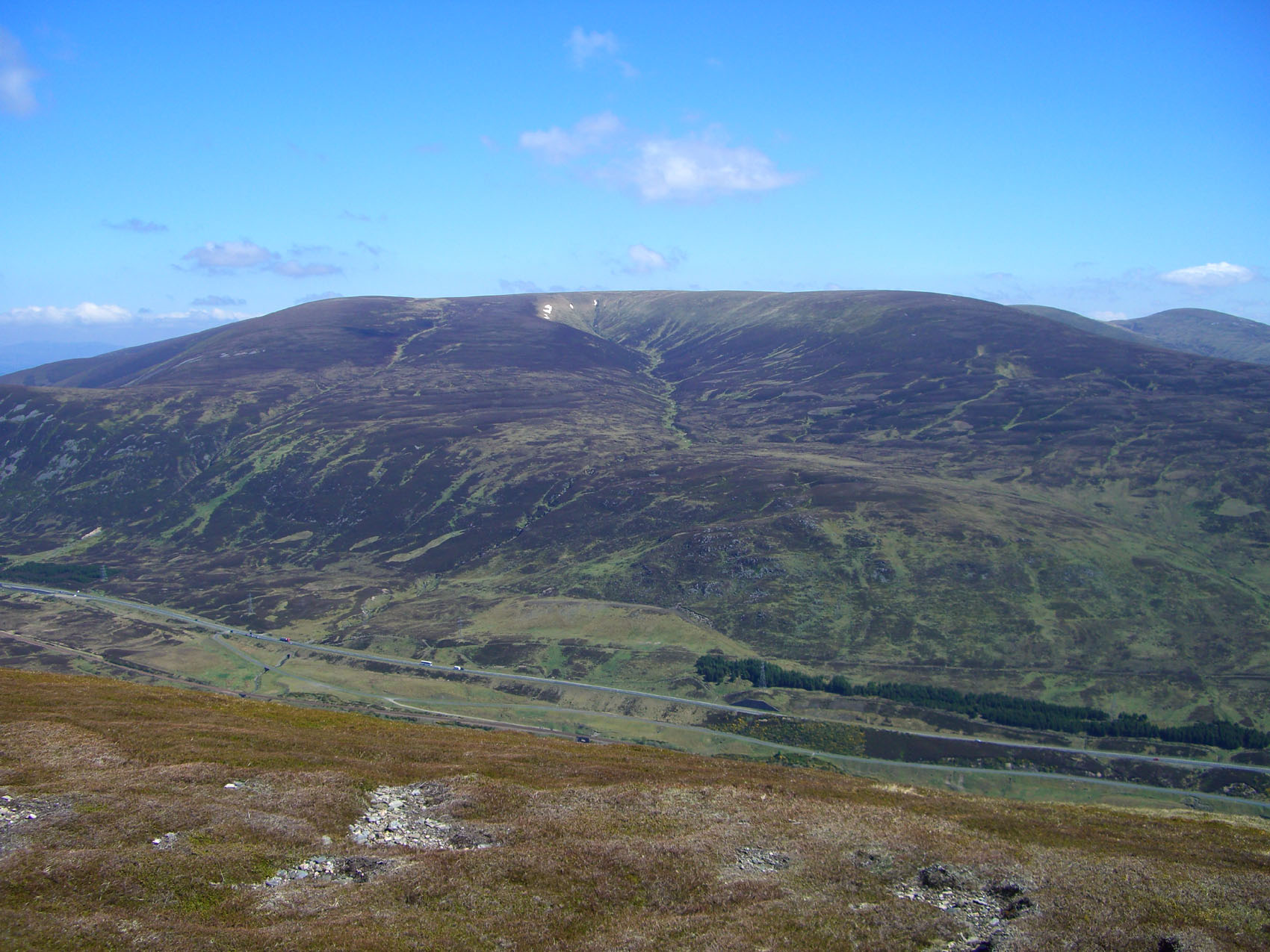
An Dùn Images

Images are sourced within 2km of 56.898375/-4.1071847 or Grid Reference NN7180. Thanks to Geograph Open Source API. All images are credited.

On the East side of An Dùn A classic U-shaped glaciated valley at Gaick.
On the East side of An Dùn
A classic U-shaped glaciated valley at Gaick.
The head of Loch an Dùin At the south end of the Gaick pass.
The head of Loch an Dùin
At the south end of the Gaick pass.
Alluvial fan, Gaick Pass Many examples of alluvial fans are found on the steep lower slopes of the Gaick Pass.  The flash flood of water coming down this burn must have been very considerable.
Alluvial fan, Gaick Pass
Many examples of alluvial fans are found on the steep lower slopes of the Gaick Pass. The flash flood of water coming down this burn must have been very considerable.
Loch an Duin Loch an Duin flanked by the steep slopes of An Dun and Creag an Loch. This image was taken at sunset on a January afternoon, and is viewed from the eastern flank of Sron nan Dias.
Loch an Duin
Loch an Duin flanked by the steep slopes of An Dun and Creag an Loch. This image was taken at sunset on a January afternoon, and is viewed from the eastern flank of Sron nan Dias.
An Dun The steep south-eastern face of An Dun, viewed across the Allt a' Chama' Choire from the summit of Am Meadar.
An Dun
The steep south-eastern face of An Dun, viewed across the Allt a' Chama' Choire from the summit of Am Meadar.
Southern end of Loch an Duin Photograph taken of northern end of Loch an Duin from the slopes of Maol Creag  an Loch (876m). An Dun (827m) is in the background.
Southern end of Loch an Duin
Photograph taken of northern end of Loch an Duin from the slopes of Maol Creag an Loch (876m). An Dun (827m) is in the background.
Loch an Dùin The loch is north of the Tay - Spey watershed but the county march runs through it. View towards the crags of Creag an Loch on the Perthshire side.
Loch an Dùin
The loch is north of the Tay - Spey watershed but the county march runs through it. View towards the crags of Creag an Loch on the Perthshire side.
South end of Loch an Dùin Evening above Sronphadruig Lodge on the Gaick Pass.  The loch has striking slabby pavements just beneath the surface of this corner. They show well in photos from above. <a href="https://www.geograph.org.uk/photo/1418121">NN7279 : South end of Loch an Dùin</a>
South end of Loch an Dùin
Evening above Sronphadruig Lodge on the Gaick Pass. The loch has striking slabby pavements just beneath the surface of this corner. They show well in photos from above. NN7279 : South end of Loch an Dùin
Creag an Loch Steep slopes on one of the two Corbett listed hills either side of the Gaick Pass. Taken from the summit of the pass at just over 500m.
Creag an Loch
Steep slopes on one of the two Corbett listed hills either side of the Gaick Pass. Taken from the summit of the pass at just over 500m.
Edendon Water Up on the moraine at the south end of Loch an Dùin. A path, very boggy, has formed here avoiding a couple of crossings of the Edendon Water.  Even in dry conditions getting over the Edendon is tricky as the river has moved northwards cutting steep unstable slopes into the moraine.
Edendon Water
Up on the moraine at the south end of Loch an Dùin. A path, very boggy, has formed here avoiding a couple of crossings of the Edendon Water. Even in dry conditions getting over the Edendon is tricky as the river has moved northwards cutting steep unstable slopes into the moraine.
Edendon Water Issuing from the Cama Coire of Bhuidheanach Beag. The road serves a hydroelectric intake weir, water is shifted over the watershed to Loch an t-Seilich.  Crossing the river here is not easy due to a northward shift forming steep banks of glacial gravels. A path has formed through the bogs on the north side of the river.
Edendon Water
Issuing from the Cama Coire of Bhuidheanach Beag. The road serves a hydroelectric intake weir, water is shifted over the watershed to Loch an t-Seilich. Crossing the river here is not easy due to a northward shift forming steep banks of glacial gravels. A path has formed through the bogs on the north side of the river.
Bog, Gaick Pass Near the summit of the Gaick at just over 500m. The moraine barrier at the south end of Loch an Dùin is very boggy.
Bog, Gaick Pass
Near the summit of the Gaick at just over 500m. The moraine barrier at the south end of Loch an Dùin is very boggy.
Gaick Pass summit The path section, 2km of singletrack above Loch an Dùin. Mostly ridable but some of the uphill rock hopping was too hard for me. Very scenic.  The steep hill is An Dùn.
Gaick Pass summit
The path section, 2km of singletrack above Loch an Dùin. Mostly ridable but some of the uphill rock hopping was too hard for me. Very scenic. The steep hill is An Dùn.
Gaick Pass, Loch an Dùin View northwards from the summit and from here the scenery gets more and more exciting. The singletrack lasts for about 2km before another road is picked up on the Badenoch side.
Gaick Pass, Loch an Dùin
View northwards from the summit and from here the scenery gets more and more exciting. The singletrack lasts for about 2km before another road is picked up on the Badenoch side.
Singletrack, Gaick Pass The path between An Dùn and Loch an Dùin is narrow and traverses a steep slope.
Singletrack, Gaick Pass
The path between An Dùn and Loch an Dùin is narrow and traverses a steep slope.
Screes, Creag an Loch Scree cones at the foot of Creag an Loch, Loch an Dùin, Gaick Pass.
Screes, Creag an Loch
Scree cones at the foot of Creag an Loch, Loch an Dùin, Gaick Pass.
March dyke, Gaick Pass A short bit of wall at the Inverness-shire / Perthshire boundary which cuts across Loch an Dùin rather than following the watershed around the southern shore.
March dyke, Gaick Pass
A short bit of wall at the Inverness-shire / Perthshire boundary which cuts across Loch an Dùin rather than following the watershed around the southern shore.
Islands, Loch an Dùin Glacial deposits above the water level near the north end of the loch.
Islands, Loch an Dùin
Glacial deposits above the water level near the north end of the loch.
Show me another place!

An Dùn is located at Grid Ref: NN7180 (Lat: 56.898375, Lng: -4.1071847)

Unitary Authority: Highland

Police Authority: Highlands and Islands

What 3 Words

///reverses.warmers.skylights. Near Newtonmore, Highland

Nearby Locations

An Dùn

Related Wikis

Càrn na Caim

Carn na Caim (941 m) is a mountain in the Grampian Mountains of Scotland. It lies on the border of Highland and Perth and Kinross, east of the Pass of...

A' Bhuidheanach Bheag

A' Bhuidheanach Bheag is a Scottish mountain situated on the eastern side of the Pass of Drumochter, some 24 km WNW of Blair Atholl. The mountain straddles...

Grampian Mountains

The Grampian Mountains (Scottish Gaelic: Am Monadh) is one of the three major mountain ranges in Scotland, that together occupy about half of Scotland...

Meall Chuaich

Meall Chuaich (951 m) is a mountain in the Grampian Mountains of Scotland, located east of the village of Dalwhinnie. Although the mountain lacks any distinctive...

Nearby Amenities

Located within 500m of 56.898375,-4.1071847
An Dùn
Corbett: yes
Ele: 827
Graham: no
Marilyn: yes
Munro: no
Natural: peak
Prominence: 232
Source: NPE
Wikidata: Q13125500
Lat/Long: 56.8951547/-4.1081354
The data included in this document is from www.openstreetmap.org. The data is made available under ODbL.

Have you been to An Dùn?

Leave your review of An Dùn below (or comments, questions and feedback).