An Caisdeal
Hill, Mountain in Inverness-shire
Scotland
An Caisdeal

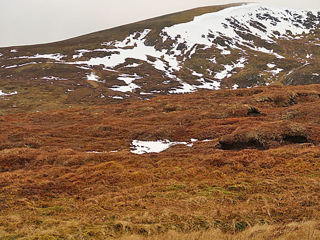
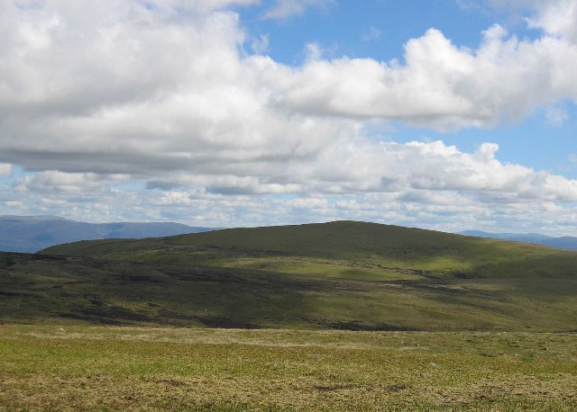
An Caisdeall is a hill located in Inverness-shire, Scotland. It stands at an elevation of 841 meters (2,759 feet) above sea level and is a popular destination for hikers and outdoor enthusiasts. The hill offers stunning panoramic views of the surrounding landscape, including the nearby town of Inverness, the River Ness, and the Scottish Highlands.
An Caisdeall is known for its rugged terrain, with rocky outcrops and steep slopes making it a challenging but rewarding climb. The hill is covered in heather and grasses, providing a habitat for a variety of wildlife such as red deer, grouse, and birds of prey.
Hikers can access An Caisdeall via a network of trails that wind their way up the hillside, offering opportunities to explore the diverse flora and fauna of the area. The summit of the hill provides a peaceful and secluded spot to enjoy a picnic or simply admire the breathtaking views.
Overall, An Caisdeall is a must-visit destination for those looking to experience the natural beauty and tranquility of the Scottish countryside. Its unique landscape and stunning vistas make it a favorite among both locals and visitors alike.
If you have any feedback on the listing, please let us know in the comments section below.
An Caisdeal Images
Images are sourced within 2km of 57.096608/-4.1248126 or Grid Reference NH7102. Thanks to Geograph Open Source API. All images are credited.


An Caisdeal is located at Grid Ref: NH7102 (Lat: 57.096608, Lng: -4.1248126)
Unitary Authority: Highland
Police Authority: Highlands and Islands
What 3 Words
///gobbling.mash.trickling. Near Newtonmore, Highland
Nearby Locations
Related Wikis
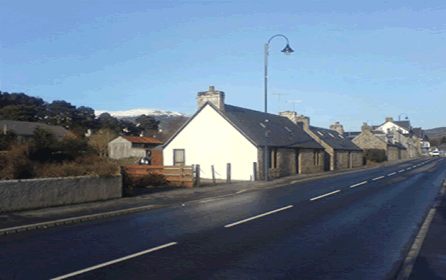
Newtonmore
Newtonmore (Scottish Gaelic: Baile Ùr an t-Slèibh [ˈpˠalʲ uːɾˠ ən̪ˠ ˈt̪ʰlʲeːv]) is a village in the Highland council area of Scotland. The village is only...
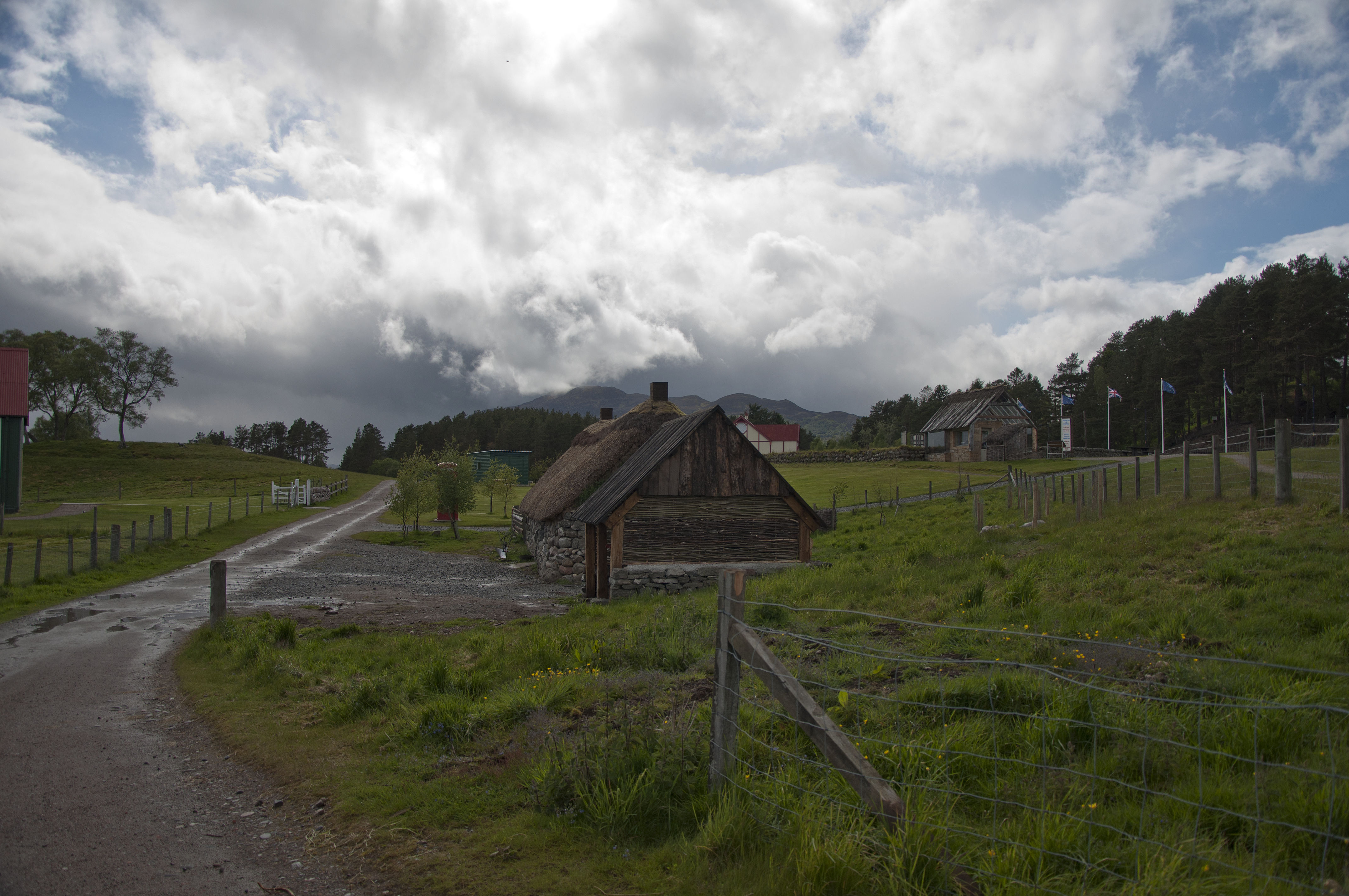
Highland Folk Museum
The Highland Folk Museum is a museum and an open-air visitor attraction in Newtonmore in Badenoch and Strathspey in the Scottish Highlands, United Kingdom...

Creag Bheag
Creag Bheag is a prominent hill in Scotland. == Etymology == The word Creag is a variation of crag (rock), while the gaelic term Bheag can be translated...
A' Chailleach (Monadhliath Mountains)
A' Chailleach (Scottish Gaelic for 'the old woman or Cailleach') is one of the Monadhliath Mountains of Scotland. It lies 7 km (4.3 mi) northwest of Newtonmore...
Nearby Amenities
Located within 500m of 57.096608,-4.1248126Have you been to An Caisdeal?
Leave your review of An Caisdeal below (or comments, questions and feedback).