Balig Hill
Hill, Mountain in Kirkcudbrightshire
Scotland
Balig Hill

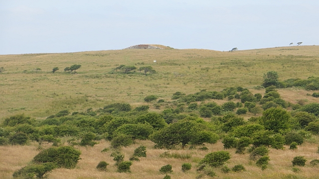
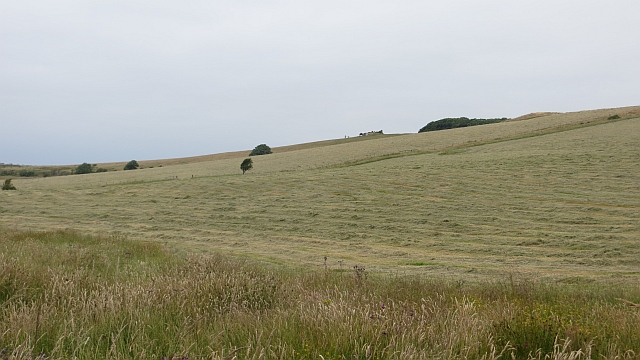
Balig Hill is a prominent landmark located in Kirkcudbrightshire, a historic county in the southwestern region of Scotland. Rising to an elevation of approximately 274 meters (899 feet), it is classified as a hill rather than a mountain. Despite its modest height, Balig Hill offers stunning panoramic views of the surrounding countryside, making it a popular destination for hikers, nature enthusiasts, and photographers.
This hill is characterized by its distinct shape and rugged terrain, with a mix of grassy slopes, rocky outcrops, and scattered trees. Its location within the Galloway Forest Park ensures a diverse range of flora and fauna, adding to the natural beauty of the area. The wildlife found on Balig Hill includes various bird species, such as buzzards and kestrels, as well as deer and foxes.
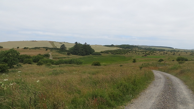
Access to Balig Hill is relatively straightforward, with several footpaths and trails leading to its summit. These routes cater to different levels of difficulty, allowing both experienced hikers and beginners to explore the area. Along the way, visitors can enjoy the peaceful ambiance and immerse themselves in the tranquil Scottish countryside.
The hill's proximity to the town of Kirkcudbright makes it easily accessible for locals and tourists alike. Kirkcudbrightshire itself is renowned for its scenic landscapes and historical sites, and Balig Hill contributes to the region's natural charm. Whether it is for a leisurely stroll or a more challenging hike, Balig Hill offers a rewarding experience for those seeking to connect with nature and enjoy breathtaking views of the Scottish countryside.
If you have any feedback on the listing, please let us know in the comments section below.
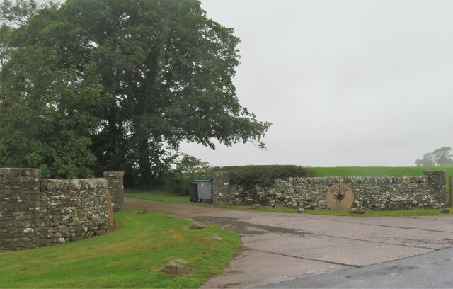
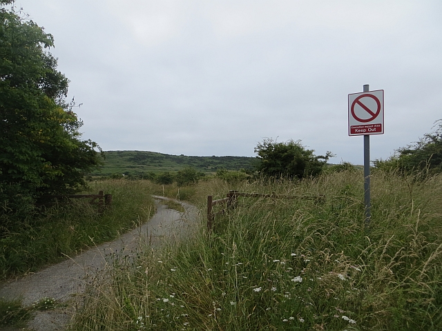
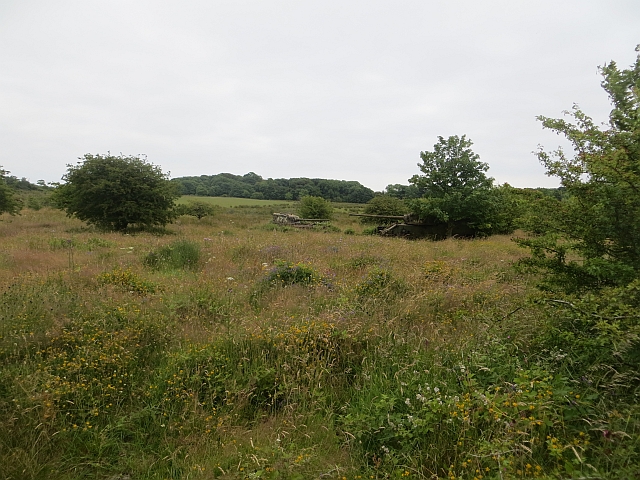
Balig Hill Images
Images are sourced within 2km of 54.792546/-4.0029802 or Grid Reference NX7146. Thanks to Geograph Open Source API. All images are credited.


Balig Hill is located at Grid Ref: NX7146 (Lat: 54.792546, Lng: -4.0029802)
Unitary Authority: Dumfries and Galloway
Police Authority: Dumfries and Galloway
What 3 Words
///master.lingering.promoting. Near Kirkcudbright, Dumfries & Galloway
Nearby Locations
Related Wikis

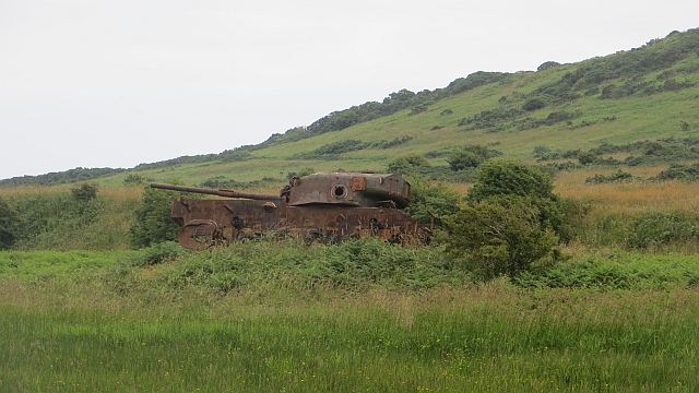
Dundrennan Range
Dundrennan Range is a weapons testing range on the Solway Firth, near Kirkcudbright in Dumfries and Galloway, in south west Scotland, it is part of the...

High Banks cup and ring markings
The High Banks cup and ring markings are a series of Neolithic or Bronze Age carvings on an outcrop of rock near High Banks farm, 3 km SE of Kirkcudbright...
Abbey Head
Abbey Head is a headland on the Solway Firth coast of Dumfries and Galloway. == References ==

Dundrennan Abbey
Dundrennan Abbey, in Dundrennan, Scotland, near to Kirkcudbright, was a Cistercian monastery in the Romanesque architectural style, established in 1142...

Dundrennan
Dundrennan (Gaelic: Dun Droighnein) is a village Dumfries and Galloway, Scotland, about 5 miles (8 km) east of Kirkcudbright. Its population is around...

River Dee, Galloway
The River Dee (Scottish Gaelic: Dè / Uisge Dhè), in south-west Scotland, flows from its source in Loch Dee amongst the Galloway Hills, firstly to Clatteringshaws...

Kirkcudbright Bay
Kirkcudbright Bay is an inlet of the Irish Sea on the coast of Galloway in southwest Scotland. Its coastline falls entirely within the modern administrative...

Kirkcudbright
Kirkcudbright ( kur-KOO-bree; Scots: Kirkcoubrie; Scottish Gaelic: Cille Chùithbeirt) is a town, parish and a Royal Burgh from 1455 in Kirkcudbrightshire...
Nearby Amenities
Located within 500m of 54.792546,-4.0029802Have you been to Balig Hill?
Leave your review of Balig Hill below (or comments, questions and feedback).