Creag Mhòr
Hill, Mountain in Perthshire
Scotland
Creag Mhòr
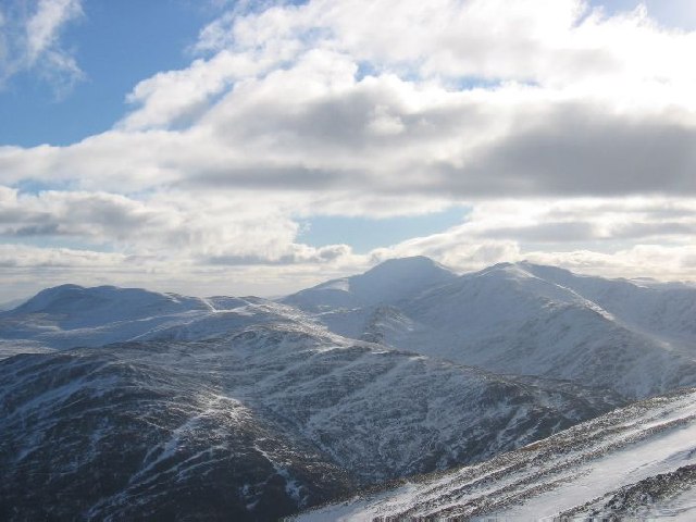
Creag Mhòr, located in Perthshire, Scotland, is a prominent hill/mountain that stands at an impressive height of 1,052 meters (3,451 feet). Situated in the southern part of the Scottish Highlands, it is a popular destination for hikers, nature enthusiasts, and mountaineers alike.
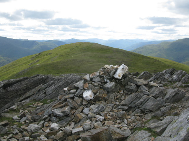
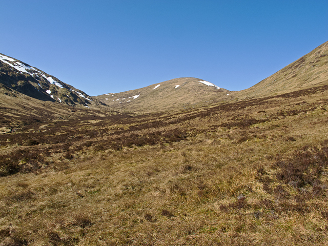
The hill/mountain offers stunning panoramic views of the surrounding landscape, with its distinct rocky terrain and heather-covered slopes. As part of the Grampian Mountains, Creag Mhòr is known for its challenging yet rewarding ascent, attracting experienced climbers seeking an exhilarating adventure.
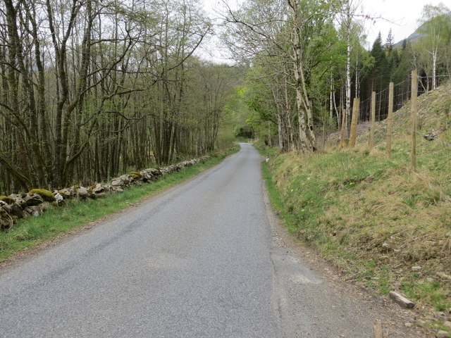
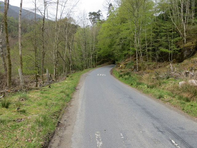
The starting point for most climbers is the small village of Lawers, from where a well-defined track leads up to the summit. The climb can be demanding at times, especially in adverse weather conditions, so proper equipment and navigation skills are recommended.
At the top of Creag Mhòr, hikers are rewarded with breathtaking vistas of nearby Loch Tay and the surrounding mountain ranges, including Ben Lawers, the highest peak in the southern Highlands. On a clear day, it is even possible to catch a glimpse of the distant Ben Nevis, the highest mountain in the British Isles.
Due to its accessibility and scenic beauty, Creag Mhòr is a popular destination year-round. In the summer, the hill/mountain attracts wildflower enthusiasts who can enjoy the vibrant colors of the meadows, while in winter, it becomes a haven for snow sports enthusiasts who can indulge in skiing and snowboarding.
Overall, Creag Mhòr in Perthshire offers a challenging yet rewarding experience for those seeking to explore the stunning Scottish landscape.
If you have any feedback on the listing, please let us know in the comments section below.
Creag Mhòr Images
Images are sourced within 2km of 56.615049/-4.0990788 or Grid Reference NN7148. Thanks to Geograph Open Source API. All images are credited.


Creag Mhòr is located at Grid Ref: NN7148 (Lat: 56.615049, Lng: -4.0990788)
Unitary Authority: Perth and Kinross
Police Authority: Tayside
What 3 Words
///atoms.sundial.grin. Near Aberfeldy, Perth & Kinross
Nearby Locations
Related Wikis

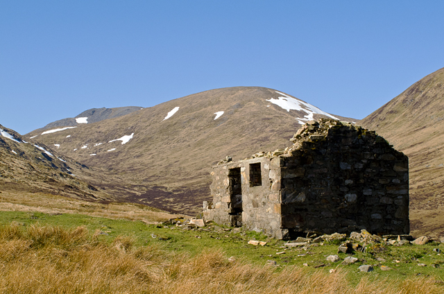
Meall nan Aighean
Meall nan Aighean is a Scottish mountain in the council area of Perth and Kinross. It stands in a group of four Munros known as the Càrn Mairg group or...

Fortingall
Fortingall (Scottish Gaelic: Fartairchill) (lit. "Escarpment Church"—i.e. "church at the foot of an escarpment or steep slope") is a small village in Glen...

Càrn na Marbh
Càrn na Marbh (meaning "mound" or "cairn of the dead") is a re-used Bronze Age tumulus, located in Fortingall in Perthshire, Scotland. The mound was used...
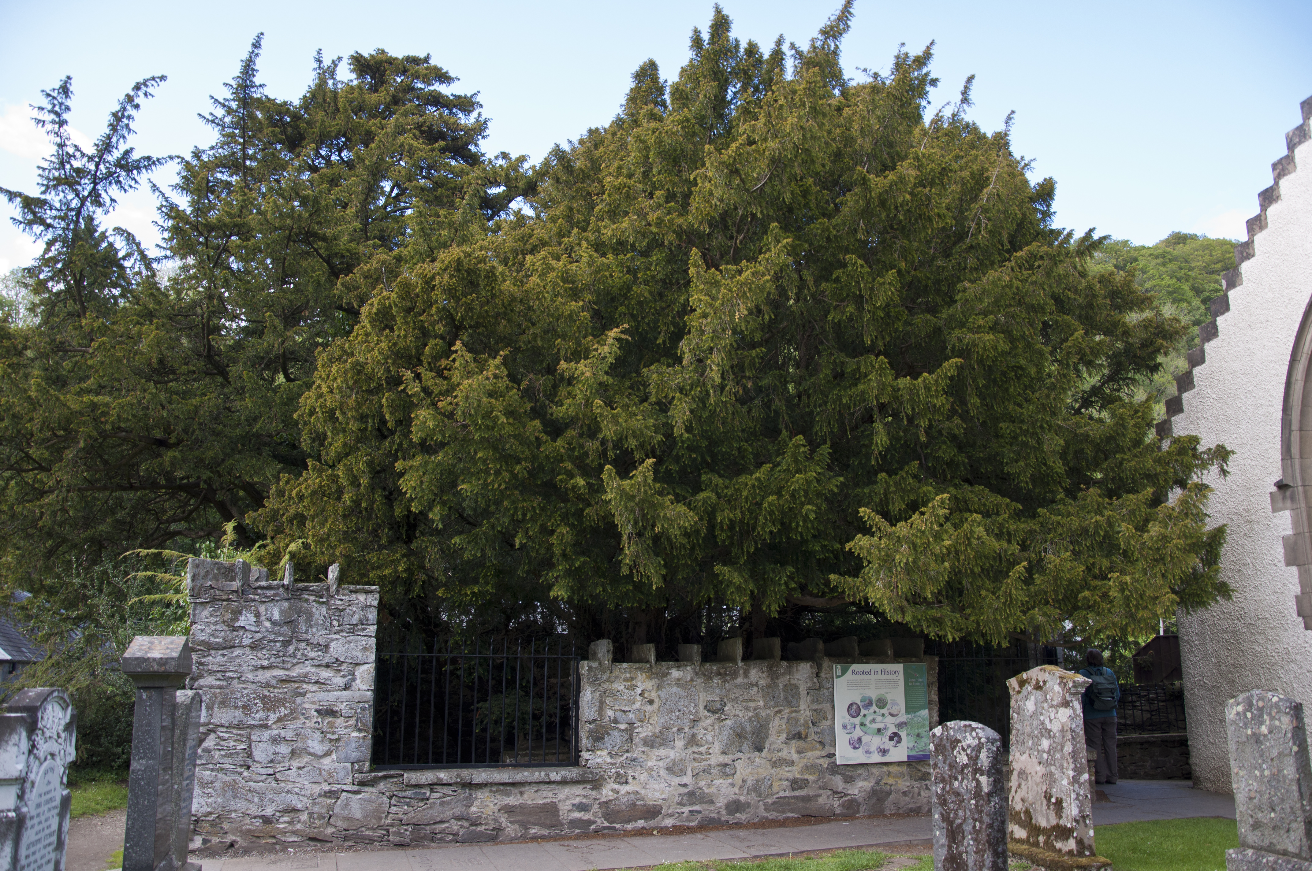
Fortingall Yew
The Fortingall Yew is an ancient European yew (Taxus baccata) in the churchyard of the village of Fortingall in Perthshire, Scotland. Considered one of...
Nearby Amenities
Located within 500m of 56.615049,-4.0990788Have you been to Creag Mhòr?
Leave your review of Creag Mhòr below (or comments, questions and feedback).