Auchtitench Hill
Hill, Mountain in Ayrshire
Scotland
Auchtitench Hill

Auchtitench Hill is a prominent hill located in Ayrshire, Scotland. Rising to an elevation of approximately 330 meters (1,083 feet), it is considered a significant landmark in the region. The hill is situated near the village of Auchinleck, around 24 kilometers (15 miles) northeast of the town of Ayr.
Auchtitench Hill is known for its distinct shape, characterized by a steep and conical summit. The hill is primarily composed of sedimentary rocks, including sandstone and shale, which have been shaped by millions of years of geological processes. This unique geological makeup contributes to the hill's striking appearance.
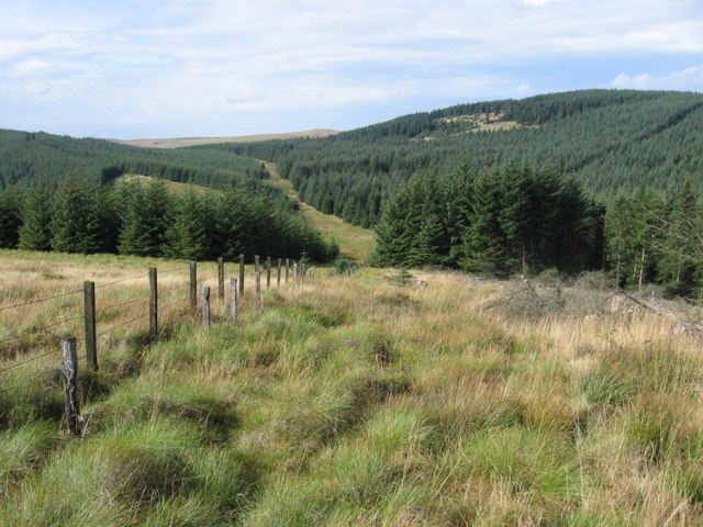
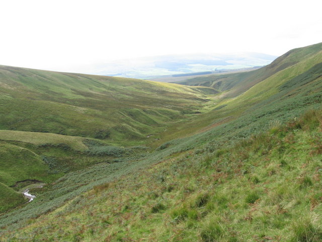
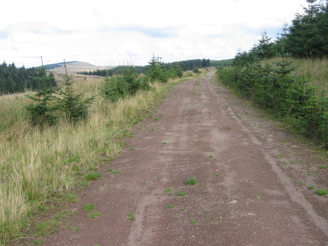
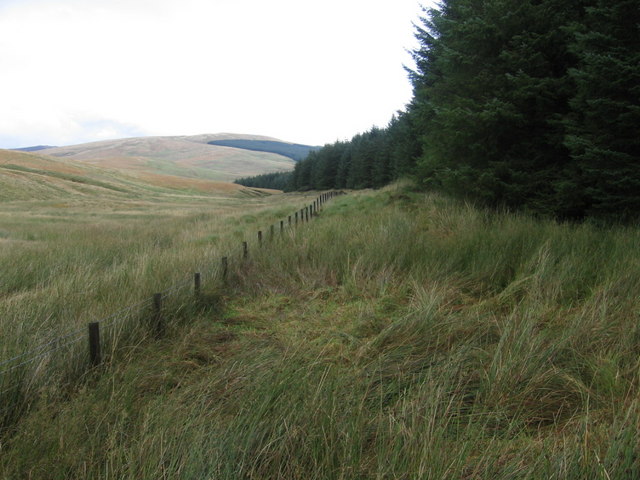
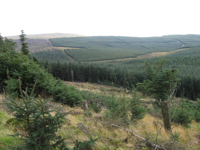
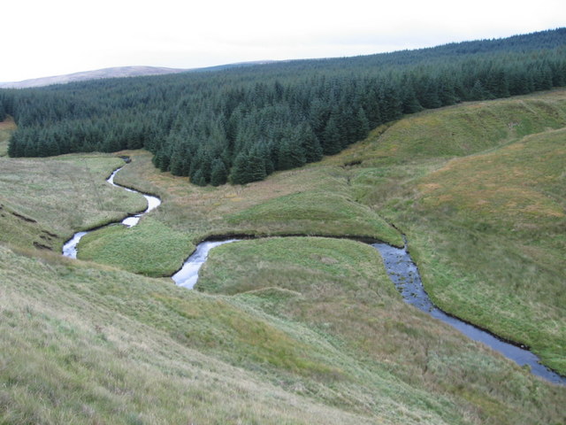
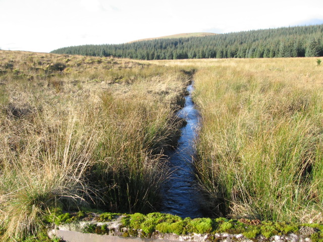
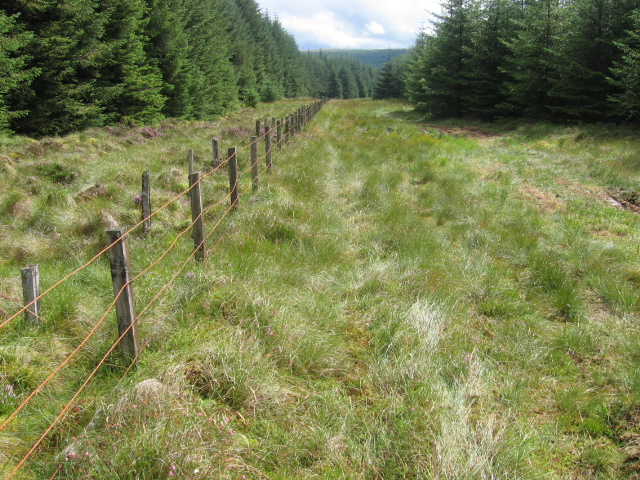
The hill is covered in a mix of grasses, heather, and scattered trees, providing a habitat for various wildlife species. It is also a popular destination for hikers and nature enthusiasts due to its accessibility and scenic views from the summit. On a clear day, visitors can enjoy panoramic vistas of the surrounding countryside, including the nearby towns and villages, as well as the picturesque Ayrshire coastline.
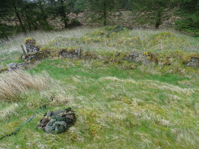
Auchtitench Hill holds historical significance as well. It is believed that the hill was once occupied by ancient settlements, with traces of prehistoric activity discovered in the area. Additionally, there are remnants of old quarrying activities on the hill, showcasing its historical importance as a source of building materials.
Overall, Auchtitench Hill offers a diverse range of natural and cultural attractions, making it a popular destination for both locals and tourists seeking outdoor experiences and a glimpse into the region's rich history.
If you have any feedback on the listing, please let us know in the comments section below.
Auchtitench Hill Images
Images are sourced within 2km of 55.441807/-4.0370454 or Grid Reference NS7118. Thanks to Geograph Open Source API. All images are credited.


Auchtitench Hill is located at Grid Ref: NS7118 (Lat: 55.441807, Lng: -4.0370454)
Unitary Authority: East Ayrshire
Police Authority: Ayrshire
What 3 Words
///revealing.roofed.woodstove. Near Kirkconnel, Dumfries & Galloway
Nearby Locations
Related Wikis

Kirkconnel railway station
Kirkconnel railway station is a railway station in the town of Kirkconnel, Dumfries and Galloway, Scotland. The station is unstaffed, owned by Network...
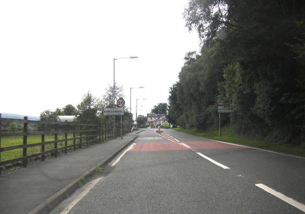
Kirkconnel
Kirkconnel (Gaelic: Cille Chonbhaill) is a small parish in Dumfries and Galloway, southwestern Scotland. It is located on the A76 near the head of Nithsdale...

Kelloside
Kelloside is a historic place south of Kirkconnel parish and the River Nith in Dumfries and Galloway, Dumfriesshire, Scotland. Old Kelloside is located...
Kelloholm
Kelloholm is a village in Dumfries and Galloway, Scotland. It has a primary school, a public house and several shops. Kelloholm lies next to Kirkconnel...

A76 road
The A76 is a major trunk road in south west Scotland. Starting at Kilmarnock in East Ayrshire, the A76 goes through or immediately by-passes Hurlford...
Muirkirk railway station
Muirkirk railway station was a railway station serving the village of Muirkirk, East Ayrshire, Scotland. == First station == The station opened on 9 August...
Garpel Water
The Garpel Water is a river near Muirkirk, Scotland. It flows under the Sanquhar bridge and Tibbie's Brig. It flows into the River Ayr.

Muirkirk
Muirkirk (Scottish Gaelic: Eaglais an t-Slèibh) is a small village in East Ayrshire, southwest Scotland. It is located on the north bank of the River Ayr...
Have you been to Auchtitench Hill?
Leave your review of Auchtitench Hill below (or comments, questions and feedback).