Benshinnie
Hill, Mountain in Kirkcudbrightshire
Scotland
Benshinnie

Benshinnie is a prominent hill located in the region of Kirkcudbrightshire in southwest Scotland. It is part of the Galloway Hills, a range known for its picturesque landscapes and natural beauty. Rising to an elevation of approximately 570 meters (1,870 feet), Benshinnie offers breathtaking panoramic views of the surrounding countryside.
The hill is covered in heather and scattered with rocky outcrops, giving it a rugged and wild appearance. It is a popular destination for hikers and nature enthusiasts who are attracted by its challenging terrain and stunning vistas. The ascent to the summit can be quite steep in some sections, but the effort is rewarded with stunning views of the Galloway Forest Park, the Solway Firth, and even the Lake District in England on clear days.
Benshinnie is also known for its rich biodiversity. The hill is home to a variety of plant and animal species, including heather, bilberry, and mountain hare. It provides an important habitat for several bird species, such as red grouse and golden eagles, making it a haven for birdwatchers.
The hill is easily accessible from the nearby village of Dalmellington, where visitors can find parking facilities and walking routes to Benshinnie. Its remote location and peaceful surroundings make it an ideal destination for those seeking tranquility and a connection with nature. Whether you are an experienced hiker or simply looking for a scenic spot to enjoy the outdoors, Benshinnie is a must-visit destination in Kirkcudbrightshire.
If you have any feedback on the listing, please let us know in the comments section below.
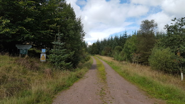
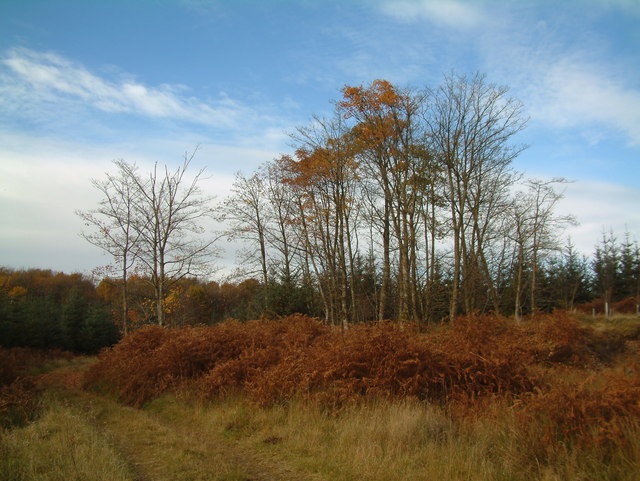
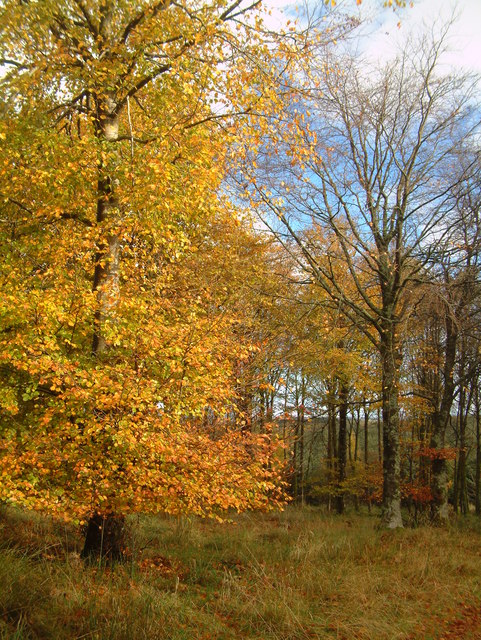
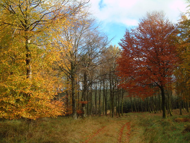
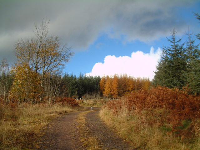
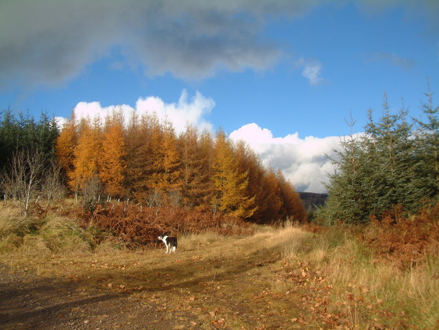
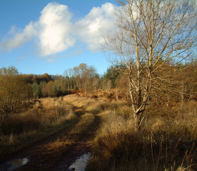
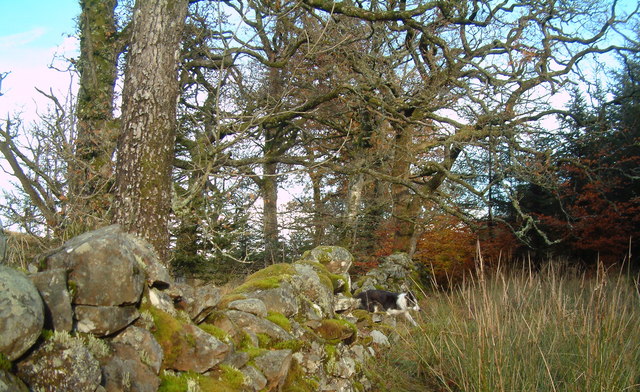
Benshinnie Images
Images are sourced within 2km of 55.040265/-4.0200064 or Grid Reference NX7173. Thanks to Geograph Open Source API. All images are credited.


Benshinnie is located at Grid Ref: NX7173 (Lat: 55.040265, Lng: -4.0200064)
Unitary Authority: Dumfries and Galloway
Police Authority: Dumfries and Galloway
What 3 Words
///blame.factored.novel. Near Castle Douglas, Dumfries & Galloway
Nearby Locations
Related Wikis

Parton, Dumfries and Galloway
Parton is a hamlet situated on the banks of the River Dee in the historical county of Kirkcudbrightshire, Dumfries and Galloway, Scotland. == Notable... ==

Parton railway station (Portpatrick and Wigtownshire Joint Railway)
Parton railway station served the hamlet of Parton, Dumfries and Galloway, Scotland, from 1861 to 1965 on the Portpatrick and Wigtownshire Joint Railway...

Loch Ken
Loch Ken is a 9 miles (14 km) long freshwater loch in the historic county of Kirkcudbrightshire in Dumfries and Galloway, Scotland. It lies in the Glenkens...

Ironmacannie Mill
Ironmacannie Mill is a historic watermill near Balmaclellan in Dumfries and Galloway, Scotland. Built in the 18th and 19th centuries, on the site of an...
Nearby Amenities
Located within 500m of 55.040265,-4.0200064Have you been to Benshinnie?
Leave your review of Benshinnie below (or comments, questions and feedback).