Hollingwood

Settlement in Derbyshire Chesterfield

England

Hollingwood

Brimington Cemetery A Chesterfield Borough Council cemetery, enhanced by autumn leaves.
Brimington Cemetery Credit: Bill Boaden

Hollingwood is a small village located in the county of Derbyshire, England. Situated approximately 3 miles south-east of the town of Chesterfield, it is nestled in the picturesque countryside of the Peak District National Park. The village is home to a population of around 1,500 residents.

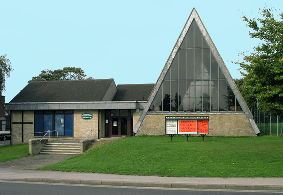
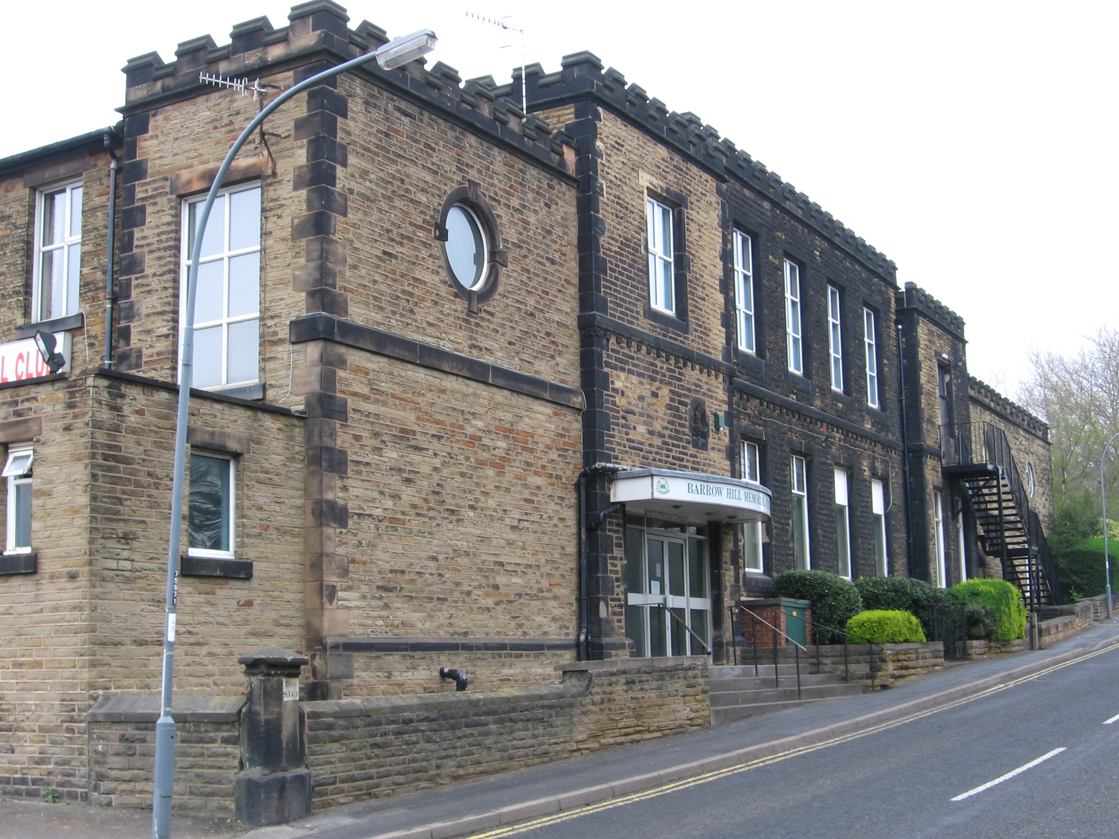
One of the notable features of Hollingwood is the Hollingwood Hub, a community center that serves as a focal point for various activities and events. The hub includes a café, a library, and hosts a range of classes and workshops for locals to enjoy. It also offers stunning views of the nearby Chesterfield Canal, providing visitors with an opportunity to appreciate the natural beauty of the area.

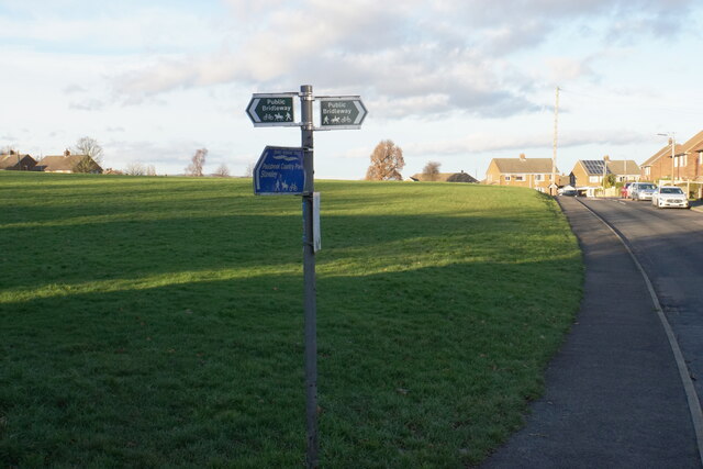
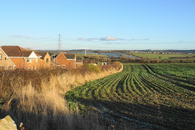
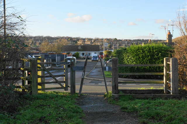
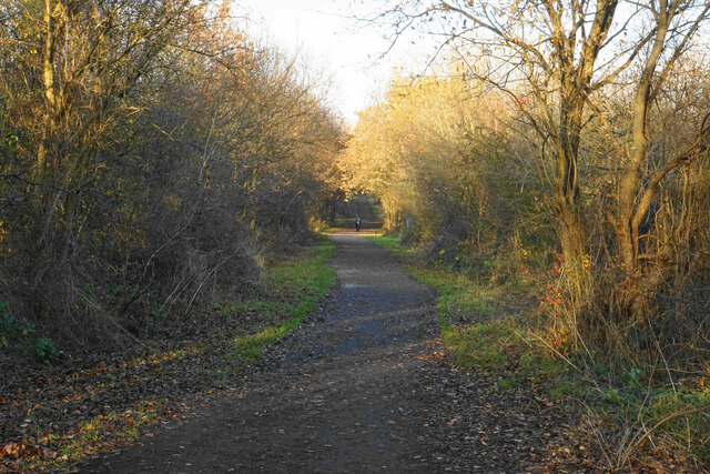
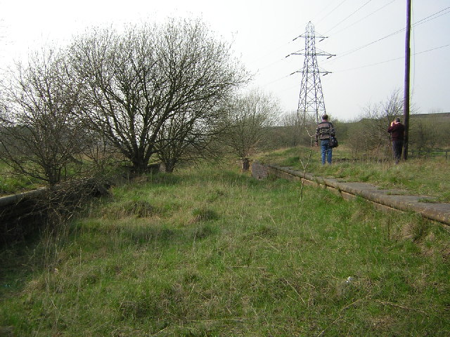
The village is surrounded by lush green fields and rolling hills, making it an ideal location for outdoor enthusiasts. Several walking and cycling routes can be found in the vicinity, allowing residents and visitors to explore the scenic landscape. Additionally, the nearby Hollingwood Lock, part of the Chesterfield Canal, is a popular spot for boating and fishing.

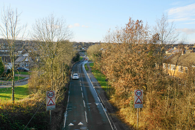
Hollingwood is well-connected to other areas in Derbyshire and beyond. The village has good transport links, with regular bus services to Chesterfield and nearby towns. Chesterfield train station is also just a short drive away, providing easy access to major cities such as Sheffield and Nottingham.

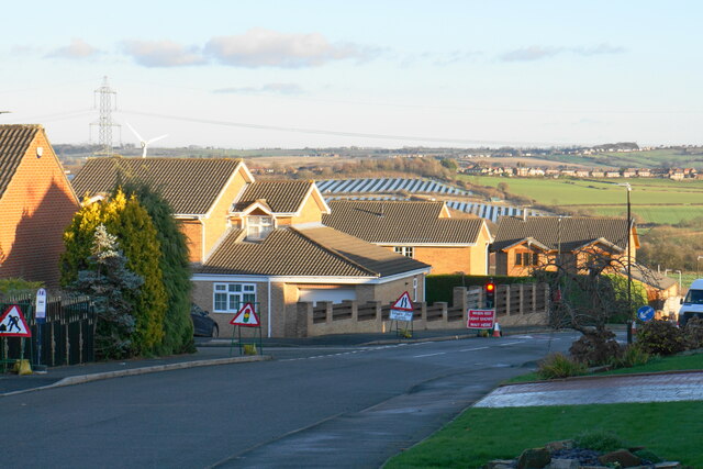
In terms of amenities, Hollingwood has a primary school, a post office, and a local pub that offers a warm and friendly atmosphere. Overall, the village offers a peaceful and idyllic setting for residents and visitors to enjoy the beauty of the English countryside.

If you have any feedback on the listing, please let us know in the comments section below.
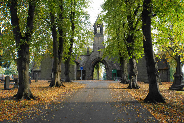
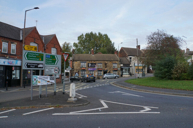
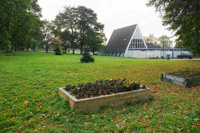
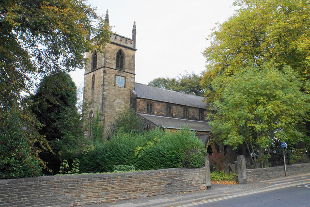
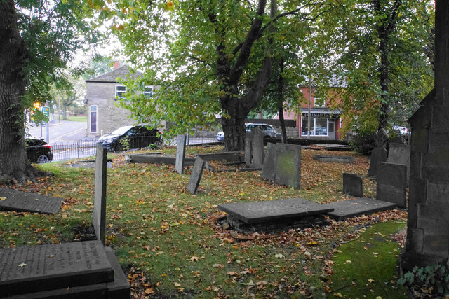
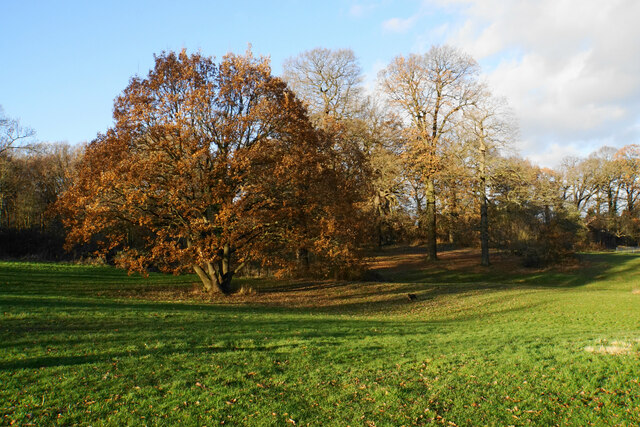
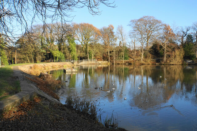
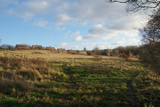
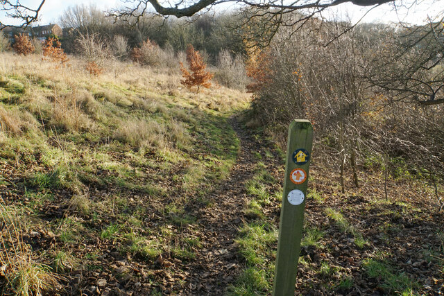
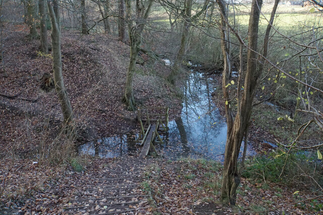
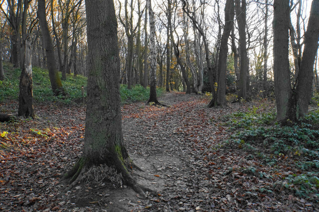
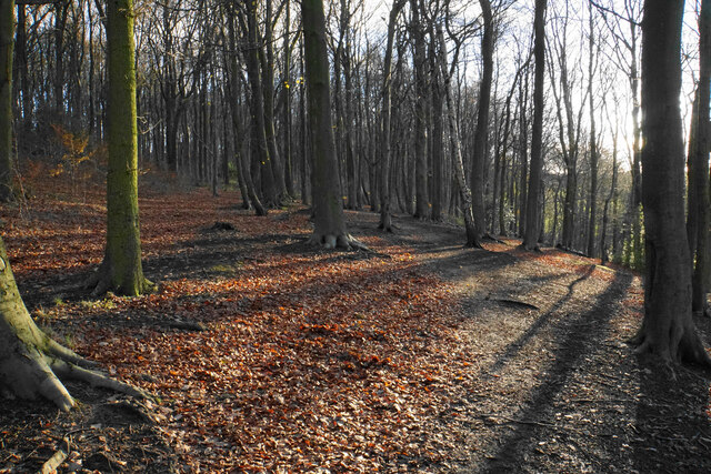
Hollingwood Images

Images are sourced within 2km of 53.259572/-1.379346 or Grid Reference SK4173. Thanks to Geograph Open Source API. All images are credited.

Brimington Cemetery A Chesterfield Borough Council cemetery, enhanced by autumn leaves.
Brimington Cemetery
A Chesterfield Borough Council cemetery, enhanced by autumn leaves.
The western end of the Brimington gyratory system The A619 passing through this village requires a gyratory system in the middle, which is also fed by other minor roads.
The western end of the Brimington gyratory system
The A619 passing through this village requires a gyratory system in the middle, which is also fed by other minor roads.
Green in the centre of Brimington A large green within the gyratory system. The triangular building is the Methodist church.
Green in the centre of Brimington
A large green within the gyratory system. The triangular building is the Methodist church.
St Michael & All Angels, Brimington A Grade II listed church with Georgian origins, but with major Victorian modifications.
St Michael & All Angels, Brimington
A Grade II listed church with Georgian origins, but with major Victorian modifications.
Churchyard of St Michael & All Angels A small churchyard. The road beyond is the eastern end of the Brimington gyratory.
Churchyard of St Michael & All Angels
A small churchyard. The road beyond is the eastern end of the Brimington gyratory.
Ringwood Park A park between Brimington and Staveley.
Ringwood Park
A park between Brimington and Staveley.
Lake in Ringwood Park A former reservoir now used by waterfowl and anglers.
Lake in Ringwood Park
A former reservoir now used by waterfowl and anglers.
Path near Trough Brook Some of the houses on the edge of Inkersall Green are seen ahead.
Path near Trough Brook
Some of the houses on the edge of Inkersall Green are seen ahead.
Path near Trough Brook Trough Brook is down to the right and the path follows the valley. This is part of the route of West Wood Long Walk.
Path near Trough Brook
Trough Brook is down to the right and the path follows the valley. This is part of the route of West Wood Long Walk.
Path by Trough Brook The path crosses a tributary of Trough Brook. There is a plank missing at the far end of the footbridge but it is possible to take a big step across.
Path by Trough Brook
The path crosses a tributary of Trough Brook. There is a plank missing at the far end of the footbridge but it is possible to take a big step across.
Path in West Wood West Wood is ancient woodland managed by Chesterfield Borough Council. It was mentioned in the Domesday Book.
Path in West Wood
West Wood is ancient woodland managed by Chesterfield Borough Council. It was mentioned in the Domesday Book.
Path in West Wood West Wood is ancient woodland managed by Chesterfield Borough Council. It was mentioned in the Domesday Book.
Path in West Wood
West Wood is ancient woodland managed by Chesterfield Borough Council. It was mentioned in the Domesday Book.
Open green space at Inkersall Green A large area retained when the village was vastly expanded to become a residential suburb of Staveley. The Trans Pennine Trail runs through part of the village.
Open green space at Inkersall Green
A large area retained when the village was vastly expanded to become a residential suburb of Staveley. The Trans Pennine Trail runs through part of the village.
Bamford Road A residential road on the edge of Inkersall Green. Further away you can see the solar farm at Duckmanton. There are some roadworks by the water company just round the corner.
Bamford Road
A residential road on the edge of Inkersall Green. Further away you can see the solar farm at Duckmanton. There are some roadworks by the water company just round the corner.
Emerging crop on the edge of Inkersall Green This is as far as the expansion of Staveley has got so far in this direction. On the hillside ahead is a solar farm near Duckmanton.
Emerging crop on the edge of Inkersall Green
This is as far as the expansion of Staveley has got so far in this direction. On the hillside ahead is a solar farm near Duckmanton.
Exit from the Trans Pennine Trail The Trans Pennine Trail here is on the course of a former railway. This access point is opposite Milford Road in Inkersall Green. Behind that you can see the Hop Flower, the pub built on this part of the estate.
Exit from the Trans Pennine Trail
The Trans Pennine Trail here is on the course of a former railway. This access point is opposite Milford Road in Inkersall Green. Behind that you can see the Hop Flower, the pub built on this part of the estate.
Trans Pennine Trail passing Inkersall Green The trail is using a former Great Central Railway link line.
Trans Pennine Trail passing Inkersall Green
The trail is using a former Great Central Railway link line.
Inkersall Green Road Heading towards the centre of Inkersall Green and viewed from the Trans Pennine Trail which crosses it.
Inkersall Green Road
Heading towards the centre of Inkersall Green and viewed from the Trans Pennine Trail which crosses it.
Show me another place!

Hollingwood is located at Grid Ref: SK4173 (Lat: 53.259572, Lng: -1.379346)

Administrative County: Derbyshire

District: Chesterfield

Police Authority: Derbyshire

What 3 Words

///estate.shows.cure. Near Staveley, Derbyshire

Related Wikis

Hollingwood

Hollingwood is a small village approximately four miles north east of Chesterfield, Derbyshire, England. == Description == Hollingwood and Barrow Hill...

Brimington

Brimington is a large village and civil parish in the Borough of Chesterfield in Derbyshire, England. The population of the parish taken at the 2011 census...

Staveley Works railway station

Staveley Works railway station was on the outskirts of the town of Staveley, Derbyshire. The station was on the Great Central Chesterfield Loop which ran...

Inkersall

Inkersall and Inkersall Green (informally referred to by local residents as Inky) are areas of settlement in Derbyshire, England. They are located south...

Springwell Community College

Springwell Community College (formerly Springwell Community School) is a coeducational secondary school located in Staveley, Derbyshire, England. It is...

Barrow Hill railway station

Barrow Hill railway station is a former railway station in the village of Barrow Hill in northern Derbyshire, England. == History == The station was originally...

Barrow Hill, Derbyshire

Barrow Hill is a village in Derbyshire, England, north-east of Chesterfield in the civil parish of Staveley. It was formerly the site of Barrow Hill railway...

Barrow Hill Engine Shed

Barrow Hill Roundhouse, until 1948 known as Staveley Engine Shed, is a former Midland Railway roundhouse in Barrow Hill, near Staveley and Chesterfield...

Nearby Amenities

Located within 500m of 53.259572,-1.379346
Bench
Created By: Potlatch 0.10f
Lat/Long: 53.2565898/-1.3774204
Bench
Created By: Potlatch 0.10f
Lat/Long: 53.2569184/-1.3775491
Bench
Created By: Potlatch 0.10f
Lat/Long: 53.257247/-1.377532
Bench
Created By: Potlatch 0.10f
Lat/Long: 53.2575962/-1.3774633
Bench
Created By: Potlatch 0.10f
Lat/Long: 53.2577656/-1.3774461
Bench
Created By: Potlatch 0.10f
Lat/Long: 53.2580275/-1.3773775
Bench
Created By: Potlatch 0.10f
Lat/Long: 53.2588233/-1.377077
Hollingwood
Is In: Derbyshire, England, UK
Place: suburb
Wikidata: Q9293345
Lat/Long: 53.2634771/-1.3817323
Ele: 80
Lat/Long: 53.2578168/-1.3742131
Ele: 76
Lat/Long: 53.2588564/-1.3755279
Barrier: cycle_barrier
Ele: 80
Lat/Long: 53.2577522/-1.3740617
Bus Stop
Bus: yes
Ele: 78.2324219
Public Transport: platform
Lat/Long: 53.2605387/-1.3776187
Bus Stop
Bus: yes
Ele: 80.6357422
Naptan AtcoCode: 1000DHCL6823
Naptan NaptanCode: dbsdpgjp
Public Transport: platform
Lat/Long: 53.260308/-1.3779607
Ringwood Hall Hotel
Addr City: Chesterfield
Addr Postcode: S43 1DQ
Addr Street: Ringwood Road
Fhrs Id: 215260
Internet Access: wlan
Internet Access Fee: no
Phone: +44 1246 280077
Source Addr: FHRS Open Data
Stars: 3
Tourism: hotel
Website: https://www.ringwoodhallhotel.com/
Lat/Long: 53.2587256/-1.3822138
Power: tower
Lat/Long: 53.2579946/-1.3848924
Power: tower
Lat/Long: 53.2605452/-1.3858386
Bus Stop
Bus: yes
Public Transport: platform
Lat/Long: 53.2590022/-1.3829495
Bus Stop
Bus: yes
Naptan AtcoCode: 1000DHCR6819
Naptan NaptanCode: dbsgaptm
Public Transport: platform
Lat/Long: 53.2585849/-1.3842262
Bench
Lat/Long: 53.25855/-1.3742274
Bus Stop
Bus: yes
Public Transport: platform
Lat/Long: 53.2620429/-1.3813
Note: Blocked here
Lat/Long: 53.255841/-1.3762591
Direction: SSE
Generator Method: photovoltaic
Generator Output Electricity: yes
Generator Solar Modules: 18
Generator Source: solar
Generator Type: solar_photovoltaic_panel
Location: roof
Power: generator
Lat/Long: 53.258211/-1.3731065
Direction: SE
Generator Method: photovoltaic
Generator Output Electricity: yes
Generator Solar Modules: 18
Generator Source: solar
Generator Type: solar_photovoltaic_panel
Location: roof
Power: generator
Lat/Long: 53.2585492/-1.3735705
Generator Method: photovoltaic
Generator Output Electricity: yes
Generator Source: solar
Generator Type: solar_photovoltaic_panel
Location: roof
Power: generator
Lat/Long: 53.259675/-1.3865729
Generator Method: photovoltaic
Generator Output Electricity: yes
Generator Source: solar
Generator Type: solar_photovoltaic_panel
Location: roof
Power: generator
Lat/Long: 53.2596558/-1.3866212
Generator Method: photovoltaic
Generator Output Electricity: yes
Generator Source: solar
Generator Type: solar_photovoltaic_panel
Location: roof
Power: generator
Lat/Long: 53.2590701/-1.3857173
Generator Method: photovoltaic
Generator Output Electricity: yes
Generator Source: solar
Generator Type: solar_photovoltaic_panel
Location: roof
Power: generator
Lat/Long: 53.2590701/-1.3857655
Generator Method: photovoltaic
Generator Output Electricity: yes
Generator Source: solar
Generator Type: solar_photovoltaic_panel
Location: roof
Power: generator
Lat/Long: 53.2623619/-1.3766432
Generator Method: photovoltaic
Generator Output Electricity: yes
Generator Source: solar
Generator Type: solar_photovoltaic_panel
Location: roof
Power: generator
Lat/Long: 53.2623779/-1.3766955
Generator Method: photovoltaic
Generator Output Electricity: yes
Generator Source: solar
Generator Type: solar_photovoltaic_panel
Location: roof
Power: generator
Lat/Long: 53.2606415/-1.3799209
Generator Method: photovoltaic
Generator Output Electricity: yes
Generator Source: solar
Generator Type: solar_photovoltaic_panel
Location: roof
Power: generator
Lat/Long: 53.2614229/-1.3801998
Generator Method: photovoltaic
Generator Output Electricity: yes
Generator Source: solar
Generator Type: solar_photovoltaic_panel
Location: roof
Power: generator
Lat/Long: 53.262286/-1.379342
Generator Method: photovoltaic
Generator Output Electricity: yes
Generator Source: solar
Generator Type: solar_photovoltaic_panel
Location: roof
Power: generator
Lat/Long: 53.2597883/-1.3827845
Generator Method: photovoltaic
Generator Output Electricity: yes
Generator Source: solar
Generator Type: solar_photovoltaic_panel
Location: roof
Power: generator
Lat/Long: 53.2598066/-1.3848861
Generator Method: photovoltaic
Generator Output Electricity: yes
Generator Source: solar
Generator Type: solar_photovoltaic_panel
Location: roof
Power: generator
Lat/Long: 53.2598276/-1.3849327
Generator Method: photovoltaic
Generator Output Electricity: yes
Generator Source: solar
Generator Type: solar_photovoltaic_panel
Location: roof
Power: generator
Lat/Long: 53.2613836/-1.3841895
Generator Method: photovoltaic
Generator Output Electricity: yes
Generator Source: solar
Generator Type: solar_photovoltaic_panel
Location: roof
Power: generator
Lat/Long: 53.262234/-1.3836396
Generator Method: photovoltaic
Generator Output Electricity: yes
Generator Source: solar
Generator Type: solar_photovoltaic_panel
Location: roof
Power: generator
Lat/Long: 53.2618525/-1.3848512
Generator Method: photovoltaic
Generator Output Electricity: yes
Generator Source: solar
Generator Type: solar_photovoltaic_panel
Location: roof
Power: generator
Lat/Long: 53.2618733/-1.38487
Traffic Signals
Traffic Signals: pedestrian_crossing
Lat/Long: 53.2588275/-1.3834366
The data included in this document is from www.openstreetmap.org. The data is made available under ODbL.

Have you been to Hollingwood?

Leave your review of Hollingwood below (or comments, questions and feedback).