Hameldown Tor
Hill, Mountain in Devon Teignbridge
England
Hameldown Tor
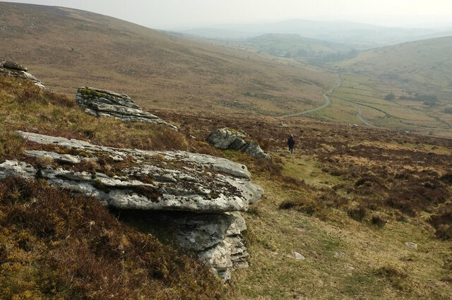
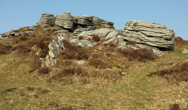
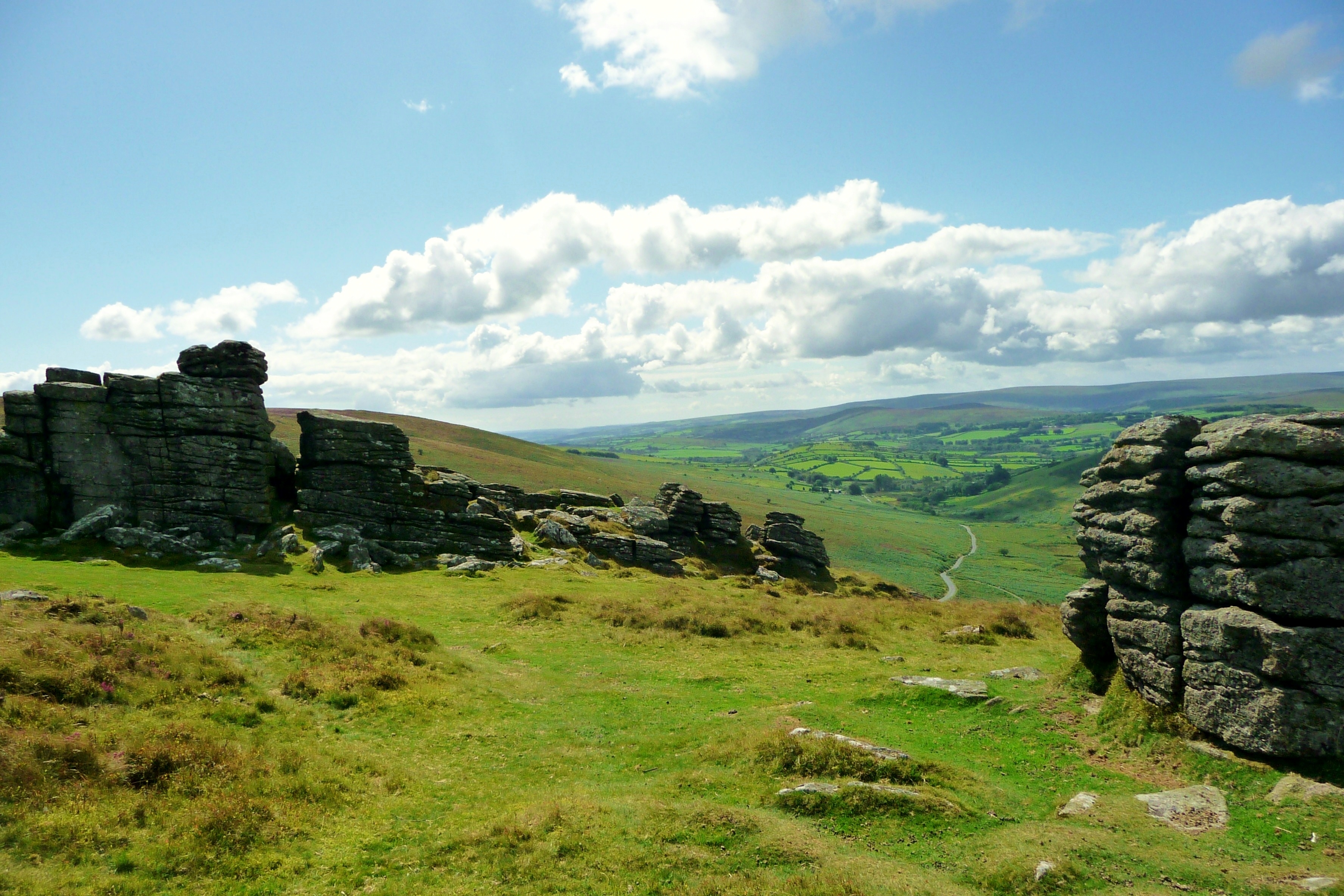
Hameldown Tor is a prominent hill located in the county of Devon, in southwestern England. Situated within the Dartmoor National Park, it is a popular destination for outdoor enthusiasts and nature lovers. Standing at an elevation of approximately 529 meters (1,736 feet), the tor offers breathtaking panoramic views of the surrounding landscape.
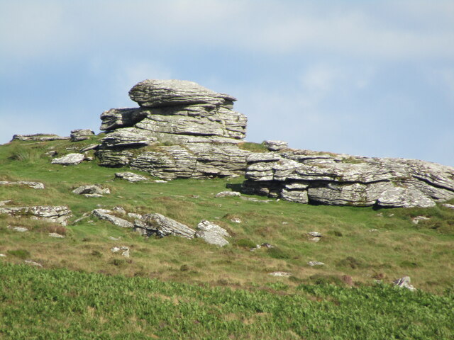
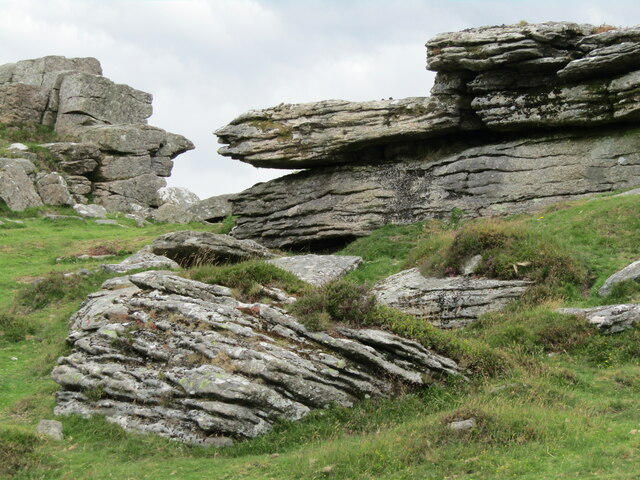
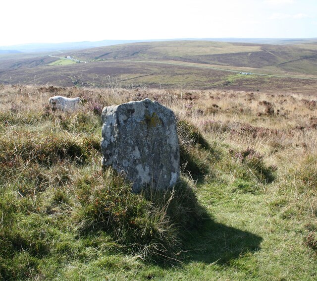
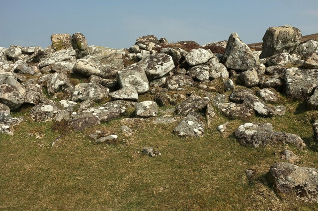
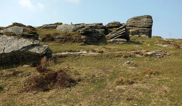
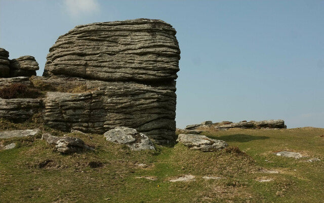
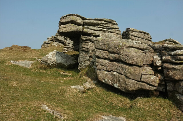
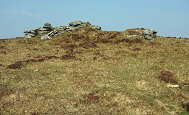
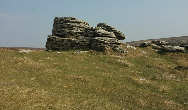
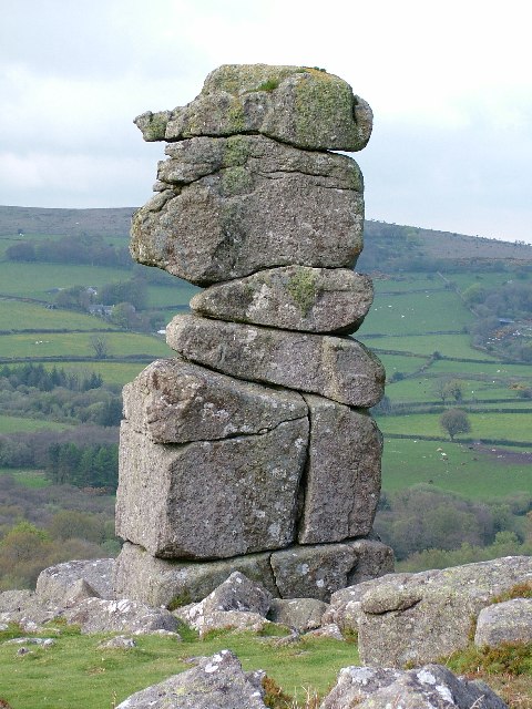
The hill is characterized by its distinctive granite outcrop, which is typical of the tors found in Dartmoor. These tors are the result of millions of years of weathering and erosion, leaving behind exposed rock formations that are a significant feature of the region's landscape.
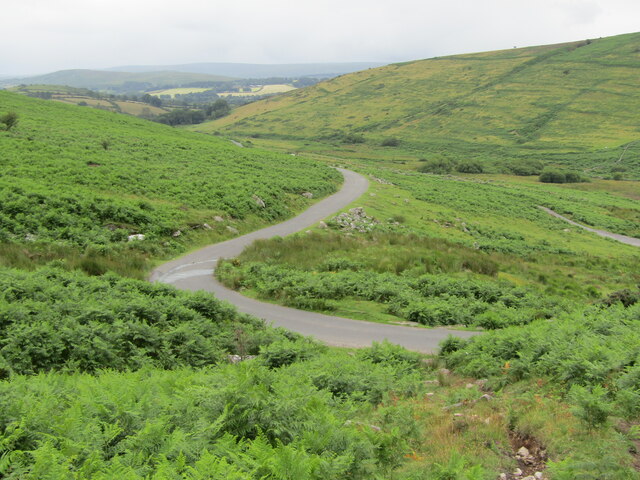
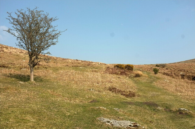
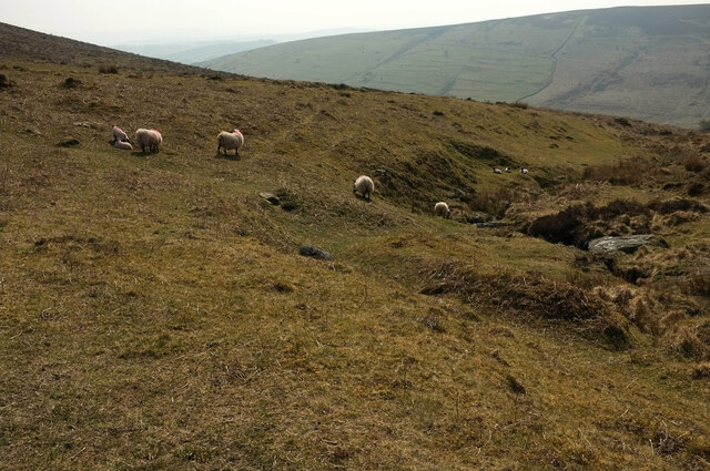
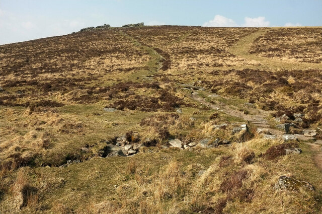
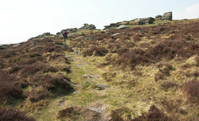
Hameldown Tor is easily accessible by foot, with several footpaths leading to its summit. Hikers and walkers can enjoy a variety of routes, ranging from gentle strolls to more challenging treks, depending on their level of fitness and experience. The hill is also a popular spot for rock climbing, with its rugged terrain providing opportunities for both beginners and experienced climbers.
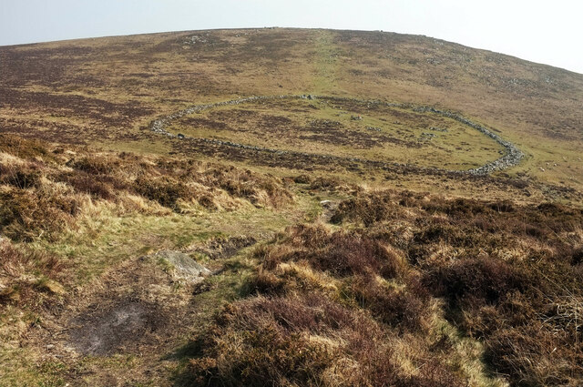
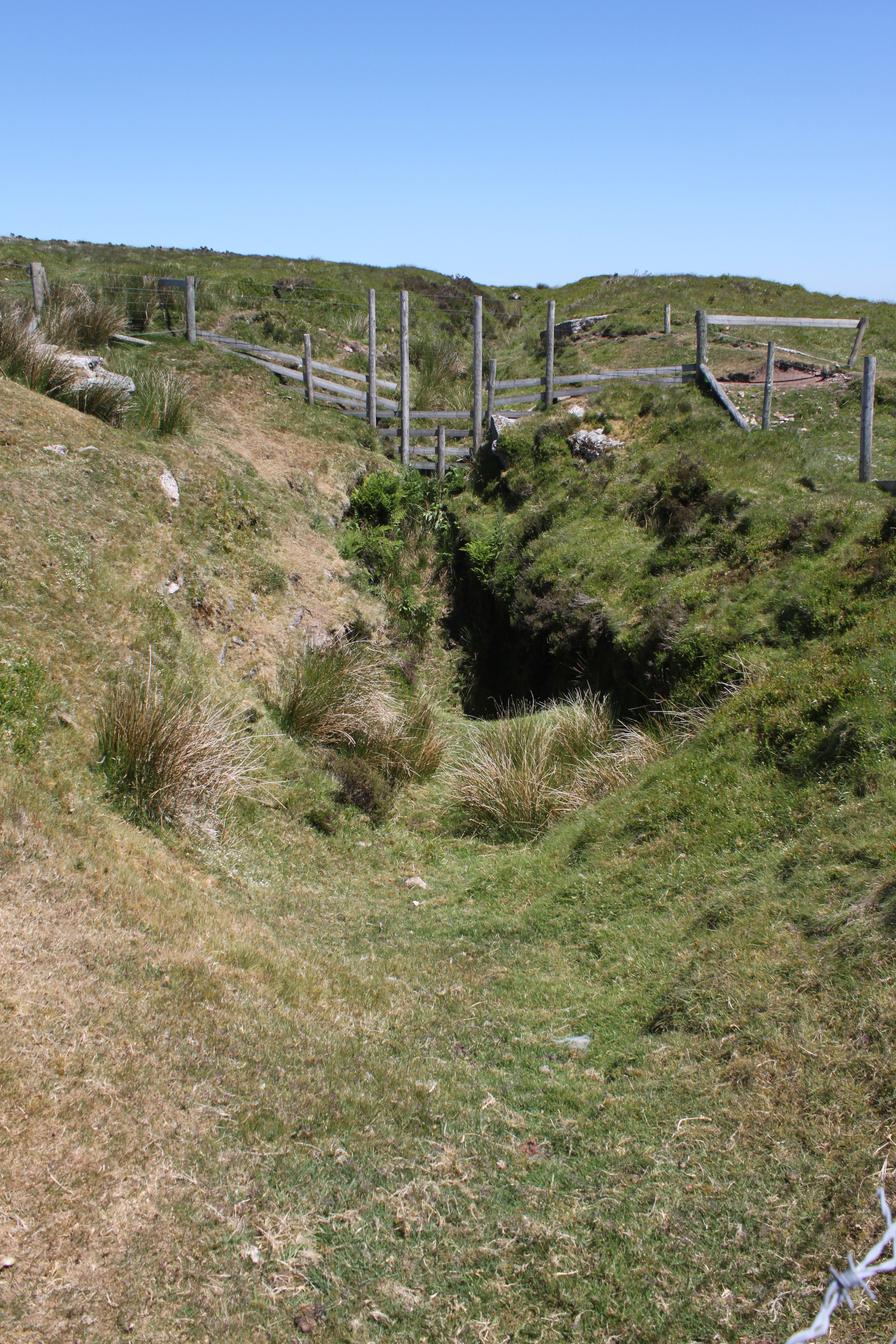
Aside from its natural beauty, Hameldown Tor is also steeped in history and folklore. It is believed to have been an important site during the Bronze Age, with evidence of ancient settlements and burial mounds in the surrounding area. Local legends and stories add an air of mystery to the tor, making it a fascinating place to explore for those interested in the region's heritage.
Overall, Hameldown Tor is a captivating natural landmark that offers not only stunning views but also a glimpse into the rich history and heritage of Dartmoor.
If you have any feedback on the listing, please let us know in the comments section below.
Hameldown Tor Images
Images are sourced within 2km of 50.61058/-3.8340494 or Grid Reference SX7080. Thanks to Geograph Open Source API. All images are credited.
Hameldown Tor is located at Grid Ref: SX7080 (Lat: 50.61058, Lng: -3.8340494)
Administrative County: Devon
District: Teignbridge
Police Authority: Devon and Cornwall
What 3 Words
///grapes.perused.coconut. Near Chagford, Devon
Nearby Locations
Related Wikis

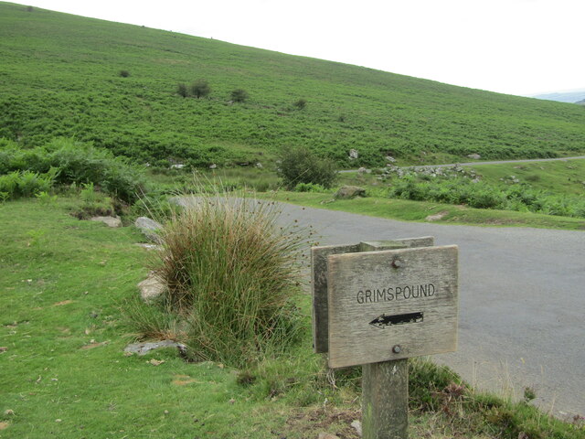
Grimspound
Grimspound is a late Bronze Age settlement, situated on Dartmoor in Devon, England. It consists of a set of 24 hut circles surrounded by a low stone wall...
Hookney Tor
Hookney Tor is a tor, situated on Dartmoor in Devon, England. It lies on the Two Moors Way and remains of Headland Warren farm and Vitifer Mine are also...
Birch Tor and Vitifer mine
Birch Tor and Vitifer mine was a tin mine on Dartmoor, Devon, England. Located in the valley of the Redwater Brook, to the east of the B3212 Moretonhampstead...

Warren House Inn
The Warren House Inn is a remote and isolated public house in the heart of Dartmoor, Devon, England. It is the highest pub in southern England at 1,425...

Jay's Grave
Jay's Grave (or Kitty Jay's Grave) is supposedly the last resting place of a suicide victim who is thought to have died in the late 18th century. It has...

Easdon Tor
Easdon Tor is a granite tor on Dartmoor, in southwest England. It stands at 439 metres above sea level and the highest point is marked with a triangulation...
Bowerman's Nose
Bowerman's Nose is a stack of weathered granite on Dartmoor, Devon, England. It is situated on the northern slopes of Hayne Down, about a mile from Hound...

The Great Thunderstorm
The Great Thunderstorm of Widecombe-in-the-Moor in Dartmoor, Kingdom of England, took place on Sunday, 21 October 1638, when the church of St Pancras was...
Nearby Amenities
Located within 500m of 50.61058,-3.8340494Have you been to Hameldown Tor?
Leave your review of Hameldown Tor below (or comments, questions and feedback).