Càrn na Farr' Bheinne
Hill, Mountain in Inverness-shire
Scotland
Càrn na Farr' Bheinne

The requested URL returned error: 429 Too Many Requests
If you have any feedback on the listing, please let us know in the comments section below.
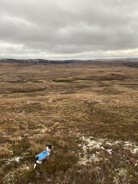
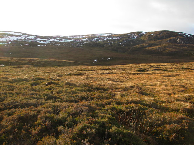
Càrn na Farr' Bheinne Images
Images are sourced within 2km of 57.312958/-4.1545038 or Grid Reference NH7026. Thanks to Geograph Open Source API. All images are credited.


Càrn na Farr' Bheinne is located at Grid Ref: NH7026 (Lat: 57.312958, Lng: -4.1545038)
Unitary Authority: Highland
Police Authority: Highlands and Islands
What 3 Words
///harmonica.majoring.captive. Near Milton of Leys, Highland
Nearby Locations
Related Wikis
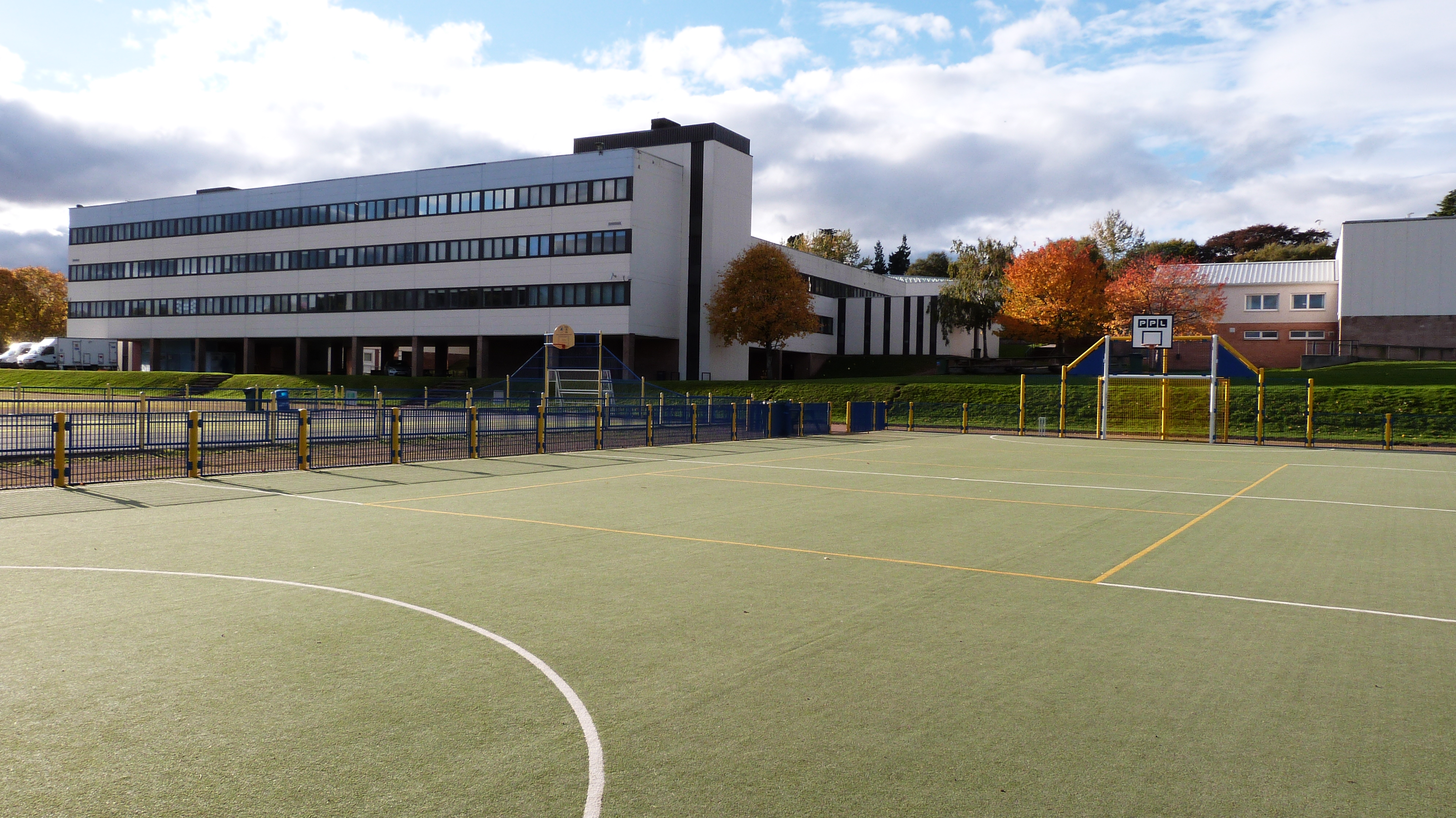
Charleston Academy
Charleston Academy (Gaelic:Àrd Sgoil Bhaile Theàrlaich) is a secondary school established in 1978, in the Kinmylies area of Inverness, Scotland. The present...

Farr Wind Farm
Farr Wind Farm is located approximately 10 miles (16 km) south of Inverness in Scotland, to the south-east of the Farr area, and to the west of the A9...

East Croachy
East Croachy is a small hamlet in the Highland council area, in the Highlands of Scotland. It is located 1 mile (1.6 km) east of Loch Ruthven, and 5 miles...

Aberarder
Aberarder (Scottish Gaelic: Obar Àrdair) is a hamlet to the south of Loch Ruthven, Scottish Highlands and is in the Scottish council area of Highland....
Nearby Amenities
Located within 500m of 57.312958,-4.1545038Have you been to Càrn na Farr' Bheinne?
Leave your review of Càrn na Farr' Bheinne below (or comments, questions and feedback).