Banc Cwmnewydion
Hill, Mountain in Cardiganshire
Wales
Banc Cwmnewydion
Banc Cwmnewydion is a prominent hill located in the county of Cardiganshire, Wales. It is situated in the rural countryside, approximately 5 miles northwest of the town of Aberystwyth. With an elevation of 366 meters (1,201 feet), it is classified as a mountain.
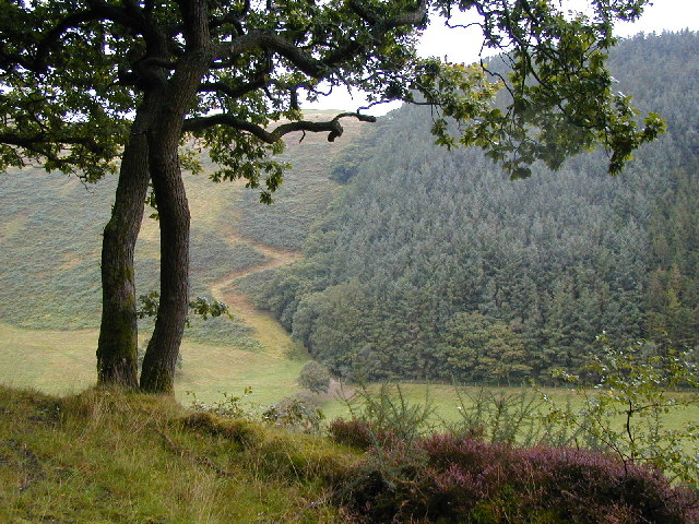
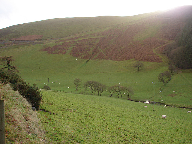
The hill is part of the Cambrian Mountains range, characterized by its rugged terrain and stunning panoramic views. Banc Cwmnewydion is covered with dense vegetation, primarily heather and grasses, which gives it a beautiful green appearance during the warmer months. It is also home to a variety of wildlife, including birds, rabbits, and occasional deer.
The hill provides an ideal location for hiking and outdoor enthusiasts, offering a range of walking trails that cater to different difficulty levels. From the summit of Banc Cwmnewydion, visitors can enjoy breathtaking vistas of the surrounding countryside, including rolling hills, valleys, and distant mountains.
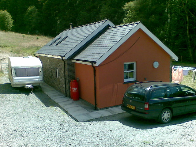
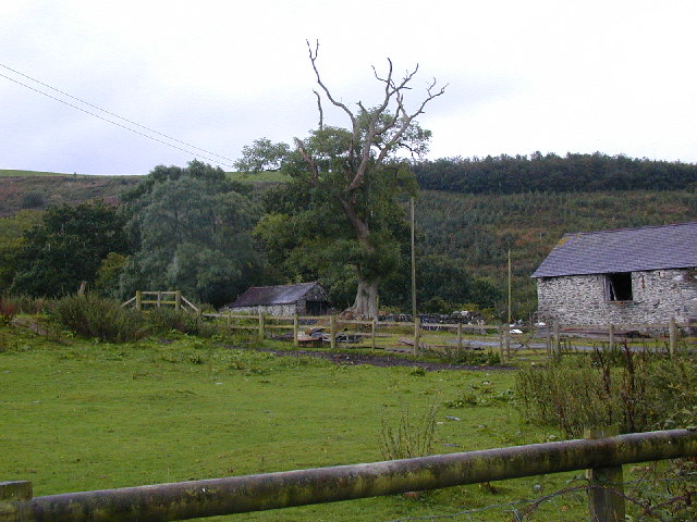
The area surrounding Banc Cwmnewydion is sparsely populated, with only a few scattered farms and cottages. This contributes to the hill's sense of tranquility and solitude, making it a perfect destination for those seeking a peaceful retreat in nature. Additionally, the hill's remote location ensures minimal light pollution, making it an excellent spot for stargazing on clear nights.
Overall, Banc Cwmnewydion is a picturesque and unspoiled natural landmark in Cardiganshire, offering visitors an opportunity to experience the beauty and serenity of the Welsh countryside.
If you have any feedback on the listing, please let us know in the comments section below.
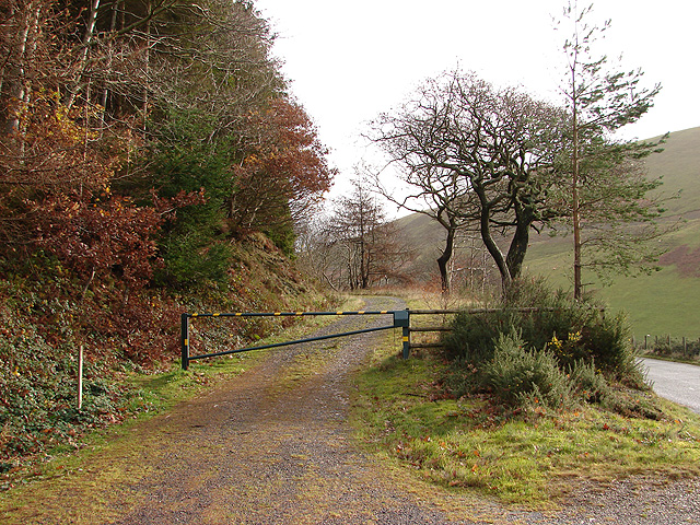
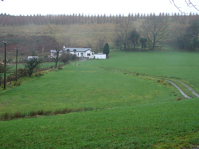
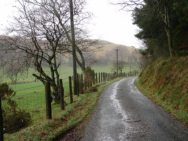
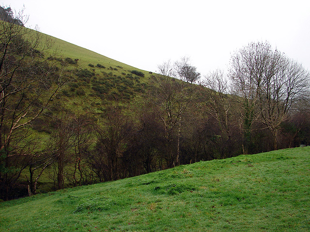
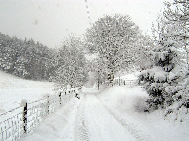
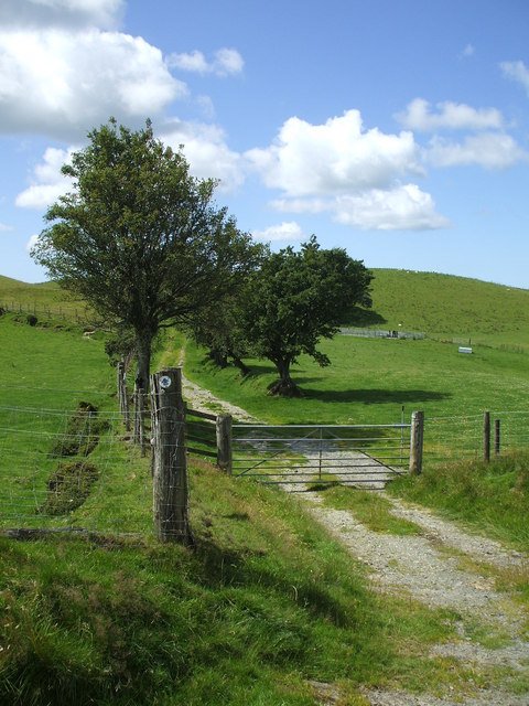
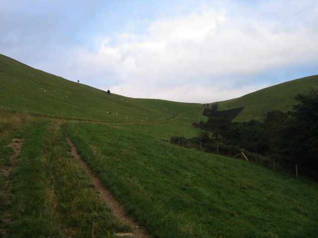
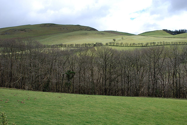
Banc Cwmnewydion Images
Images are sourced within 2km of 52.346853/-3.907541 or Grid Reference SN7073. Thanks to Geograph Open Source API. All images are credited.


Banc Cwmnewydion is located at Grid Ref: SN7073 (Lat: 52.346853, Lng: -3.907541)
Unitary Authority: Ceredigion
Police Authority: Dyfed Powys
What 3 Words
///originate.stability.ideal. Near Lledrod, Ceredigion
Nearby Locations
Related Wikis

Brynafan
Brynafan is a small village in the community of Trawsgoed, Ceredigion, Wales, which is 66.7 miles (107.3 km) from Cardiff and 170.3 miles (274.1 km) from...

River Ystwyth
The River Ystwyth (; Welsh: Afon Ystwyth [ˈəstʊɨ̯θ] "winding river") is a river in Ceredigion, Wales. The length of the main river is 20.5 miles (33.0...

Llanafan, Ceredigion
Llanafan is a small village between Tregaron and Aberystwyth, Ceredigion, in Wales. Llanafan is around ten miles from Aberystwyth and Tregaron. It is named...
Trawscoed fort
Trawscoed fort is a Roman auxiliary fort in Ceredigion, Wales, located near the modern settlement of Trawsgoed and is cut through by the modern B4340 road...
St Afan's Church, Llanafan
Saint Afan's Church (SN68387192) is located in Llanafan, 8 miles (13 km) east of Aberystwyth, Ceredigion, in Wales. == History == The original church on...
Ernest Vaughan, 7th Earl of Lisburne
Ernest Edmund Henry Malet Vaughan, 7th Earl of Lisburne KStJ (8 February 1892 – 30 June 1965), of Trawsgoed, Cardiganshire, was a Welsh nobleman. ��2...
New Row
New Row is a hamlet in the community of Pontarfynach, Ceredigion, Wales, which is 66.5 miles (107 km) from Cardiff and 169.5 miles (272.7 km) from London...

Trawsgoed
Trawsgoed (Welsh for "Crosswood") is both a community and an estate in Ceredigion, Wales. The estate is 8 miles (13 km) southeast of Aberystwyth, and has...
Have you been to Banc Cwmnewydion?
Leave your review of Banc Cwmnewydion below (or comments, questions and feedback).