Am Bodach
Hill, Mountain in Inverness-shire
Scotland
Am Bodach
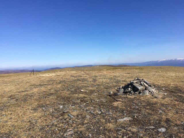
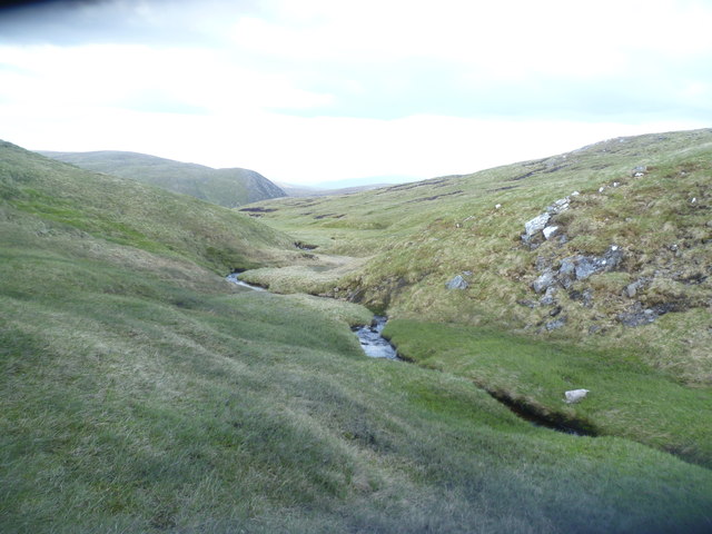
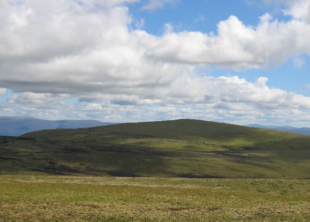
Am Bodach is a prominent hill located in the Inverness-shire region of Scotland. With an elevation of 1,031 meters (3,383 feet), it is classified as a Munro, which means it is one of the 282 mountains in Scotland with a height of over 3,000 feet.
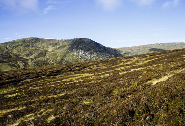
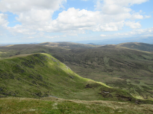
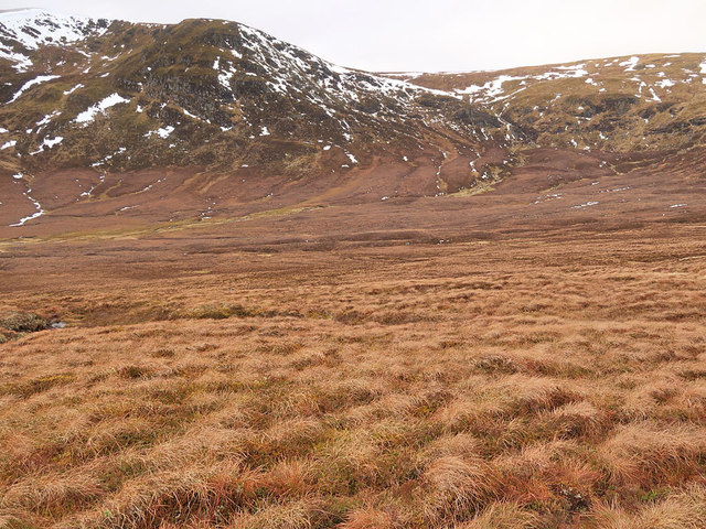
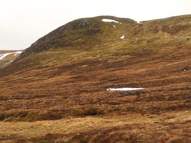
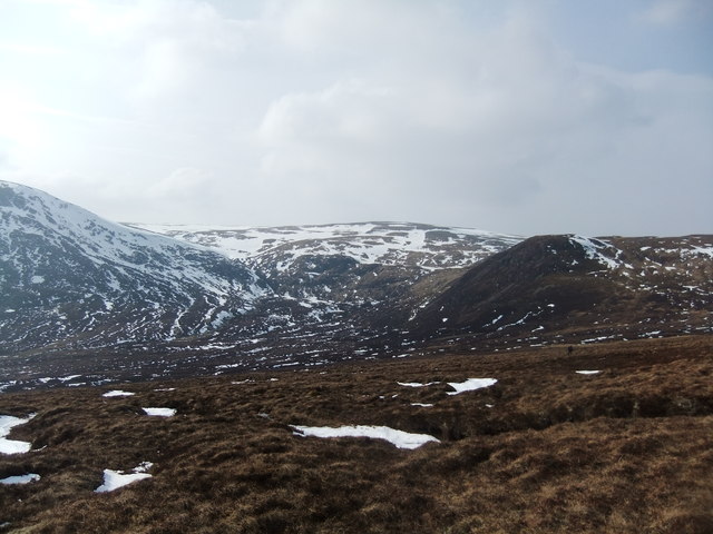
Situated in the Mamores range, Am Bodach offers breathtaking panoramic views of the surrounding landscape, including the nearby peaks of Na Gruagaichean, Binnein Mor, and Sgurr Eilde Mor. Its distinctive pyramidal shape and rugged terrain make it a popular destination for hikers and mountaineers seeking a challenging and rewarding experience.
The ascent of Am Bodach typically starts from the Kinlochleven village, where a well-marked trail leads climbers through a variety of landscapes, including dense forests, open moorland, and rocky slopes. The route is considered moderately difficult, with some steep and rocky sections that require a good level of fitness and experience in hillwalking.
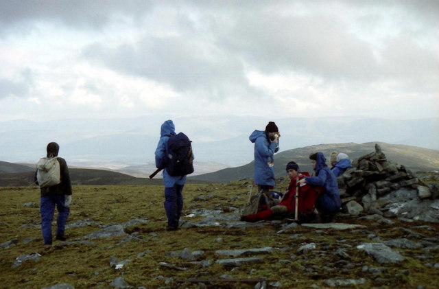
Once at the summit, climbers are rewarded with stunning views of the surrounding Loch Leven and the vast expanse of the Scottish Highlands. On clear days, it is even possible to catch a glimpse of Ben Nevis, the highest mountain in the British Isles.
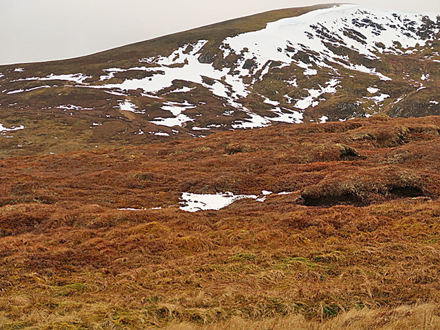
Am Bodach is also a popular spot for winter mountaineering, with its steep slopes attracting ice climbers and snow enthusiasts. However, caution is advised as the weather conditions can be harsh and unpredictable, requiring appropriate gear and experience.
Overall, Am Bodach is a captivating and challenging mountain that offers outdoor enthusiasts a chance to immerse themselves in the stunning natural beauty of the Scottish Highlands.
If you have any feedback on the listing, please let us know in the comments section below.
Am Bodach Images
Images are sourced within 2km of 57.123744/-4.1490335 or Grid Reference NH6905. Thanks to Geograph Open Source API. All images are credited.


Am Bodach is located at Grid Ref: NH6905 (Lat: 57.123744, Lng: -4.1490335)
Unitary Authority: Highland
Police Authority: Highlands and Islands
What 3 Words
///tasks.moral.squeezed. Near Newtonmore, Highland
Nearby Locations
Related Wikis
A' Chailleach (Monadhliath Mountains)
A' Chailleach (Scottish Gaelic for 'the old woman or Cailleach') is one of the Monadhliath Mountains of Scotland. It lies 7 km (4.3 mi) northwest of Newtonmore...

Creag Bheag
Creag Bheag is a prominent hill in Scotland. == Etymology == The word Creag is a variation of crag (rock), while the gaelic term Bheag can be translated...
Newtonmore
Newtonmore (Scottish Gaelic: Baile Ùr an t-Slèibh [ˈpˠalʲ uːɾˠ ən̪ˠ ˈt̪ʰlʲeːv]) is a village in the Highland council area of Scotland. The village is only...
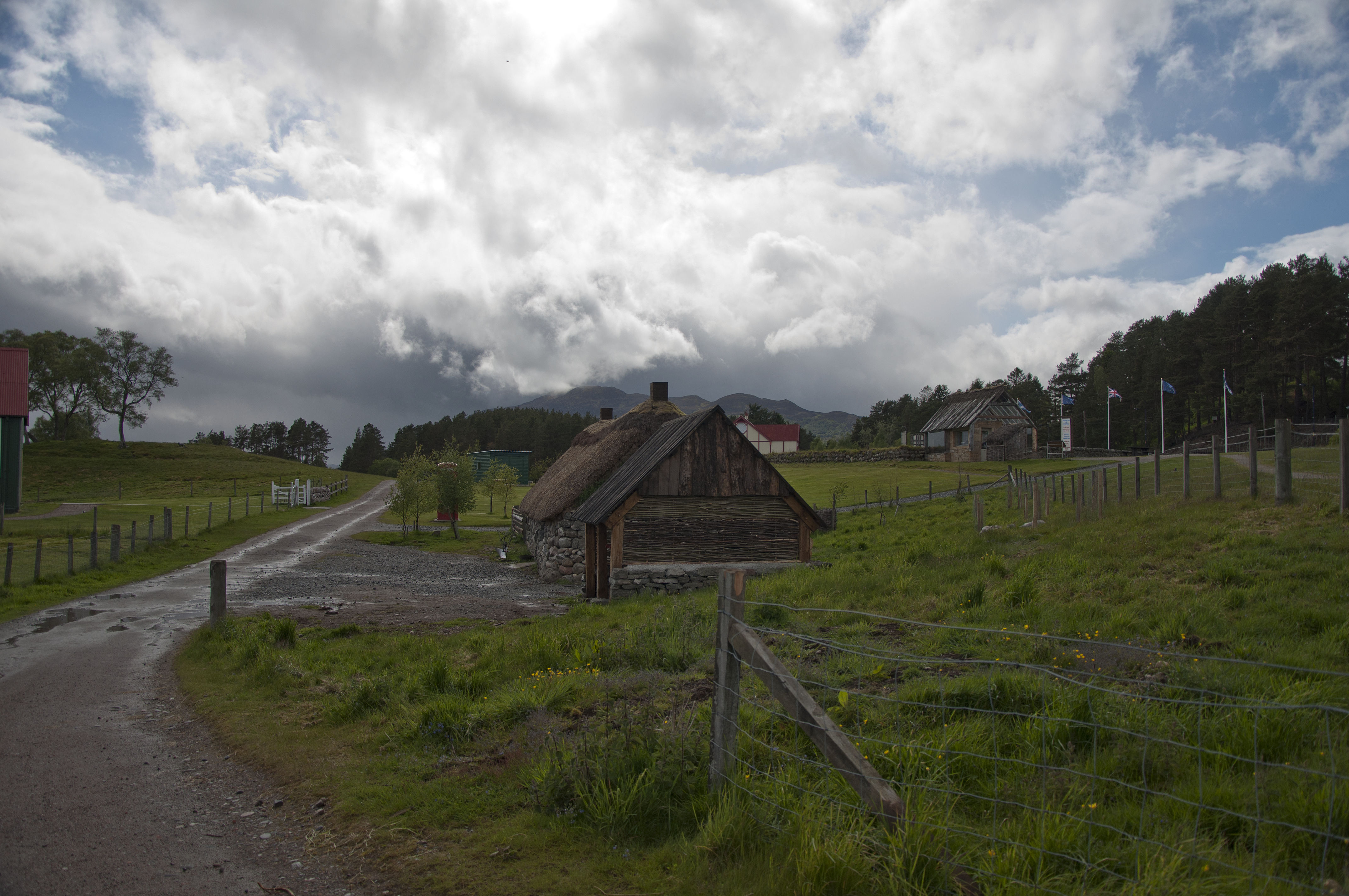
Highland Folk Museum
The Highland Folk Museum is a museum and an open-air visitor attraction in Newtonmore in Badenoch and Strathspey in the Scottish Highlands, United Kingdom...

St Vincent's Hospital, Kingussie
St Vincent's Hospital is a former health facility located in Kingussie, Scotland. The site was closed in 2021 due to the opening of the Badenoch and Strathspey...

Càrn Dearg, Monadh Liath
Càrn Dearg is the highest peak of the Monadh Liath mountains in the Highlands of Scotland. Its eastern flanks slope steeply down into Glen Ballach, while...

Newtonmore railway station
Newtonmore railway station serves the village of Newtonmore, Highland, Scotland. The station is managed by ScotRail and is on the Highland Main Line. The...

The Eilan
The Eilan (Scottish Gaelic: Eilean Bheannchair) is a shinty stadium in the town of Newtonmore, Scotland. It is the home of Newtonmore Camanachd and has...
Nearby Amenities
Located within 500m of 57.123744,-4.1490335Have you been to Am Bodach?
Leave your review of Am Bodach below (or comments, questions and feedback).