Cairnoch Hill
Hill, Mountain in Stirlingshire
Scotland
Cairnoch Hill
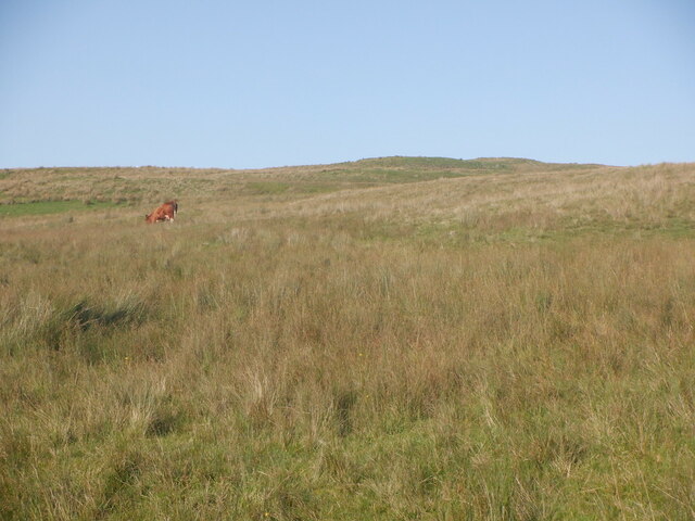
Cairnoch Hill is a prominent hill located in Stirlingshire, Scotland. Situated near the town of Buchlyvie, the hill is part of the Campsie Fells range and offers stunning panoramic views of the surrounding countryside.
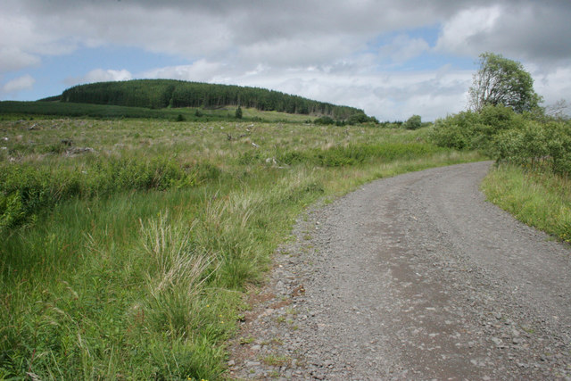
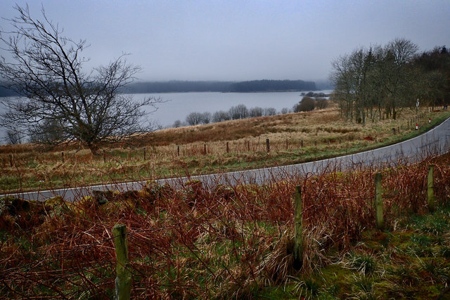
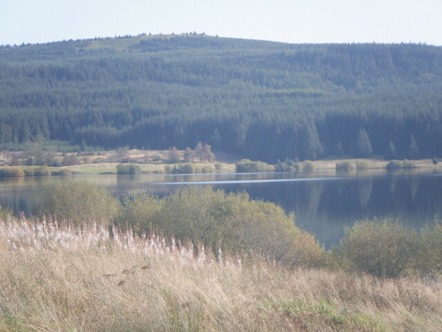
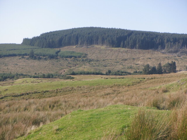
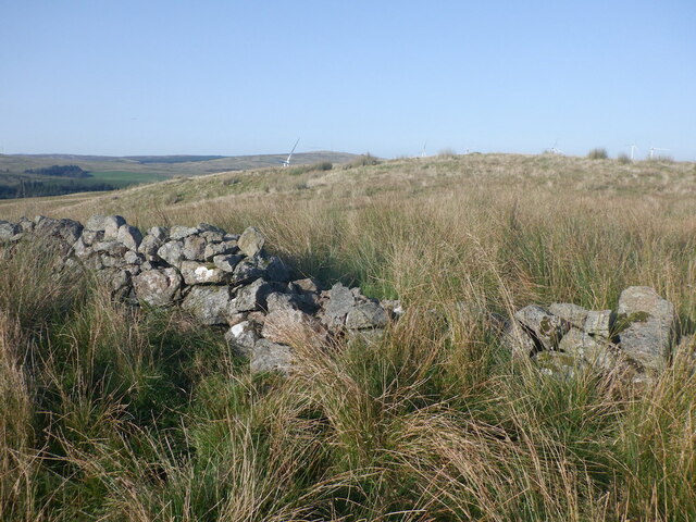
Standing at an elevation of approximately 365 meters (1,200 feet), Cairnoch Hill is a popular destination for outdoor enthusiasts and hikers. The hill is characterized by its gentle slopes and grassy terrain, making it accessible to walkers of various abilities. A well-defined path leads to the summit, where visitors are rewarded with breathtaking vistas of Loch Lomond and the Trossachs National Park to the west, and the Ochil Hills to the east.
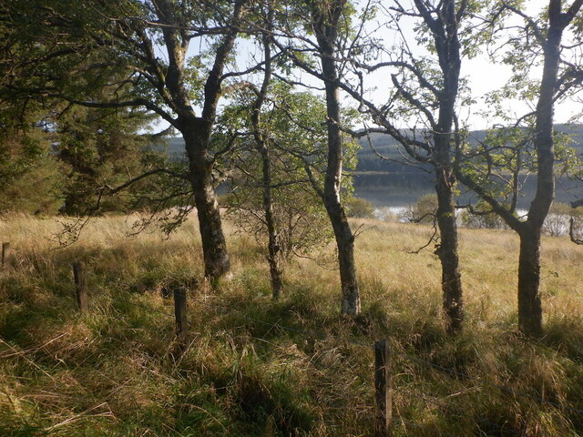
Cairnoch Hill is known for its rich biodiversity, with various plant and animal species calling the hillside home. The hill is covered in native grasses, heathers, and wildflowers, providing a vibrant and colorful landscape during the summer months. Birdwatchers may be lucky enough to spot species such as red grouse, skylarks, and kestrels soaring above.
In addition to its natural beauty, Cairnoch Hill also boasts historical significance. The remains of an Iron Age fort can be found on its slopes, serving as a reminder of the area's ancient past.
Overall, Cairnoch Hill offers both recreational and educational opportunities for nature lovers and history enthusiasts alike. Whether it's a leisurely stroll or a more challenging hike, this Stirlingshire hill is a must-visit destination for those seeking tranquility, stunning views, and a connection to Scotland's natural and cultural heritage.
If you have any feedback on the listing, please let us know in the comments section below.
Cairnoch Hill Images
Images are sourced within 2km of 56.046593/-4.0919848 or Grid Reference NS6985. Thanks to Geograph Open Source API. All images are credited.
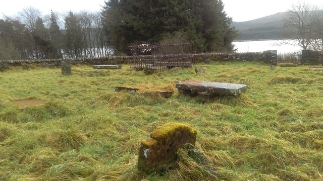
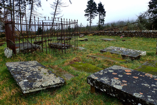
![Entrance to Kirk O' Muir burial ground A small disused burial ground containing a number of grave slabs, the earliest dated 1695. See Canmore for more information [<span class="nowrap"><a title="https://canmore.org.uk/site/45979/kirk-o-muir" rel="nofollow ugc noopener" href="https://canmore.org.uk/site/45979/kirk-o-muir">Link</a><img style="margin-left:2px;" alt="External link" title="External link - shift click to open in new window" src="https://s1.geograph.org.uk/img/external.png" width="10" height="10"/></span>].](https://s3.geograph.org.uk/geophotos/05/81/70/5817087_0b73df99.jpg)
![Kirk O' Muir burial ground A small disused burial ground containing a number of grave slabs, the earliest dated 1651. See Canmore for more information [<span class="nowrap"><a title="https://canmore.org.uk/site/45979/kirk-o-muir" rel="nofollow ugc noopener" href="https://canmore.org.uk/site/45979/kirk-o-muir">Link</a><img style="margin-left:2px;" alt="External link" title="External link - shift click to open in new window" src="https://s1.geograph.org.uk/img/external.png" width="10" height="10"/></span>].](https://s2.geograph.org.uk/geophotos/05/81/71/5817166_faeb3d18.jpg)
Cairnoch Hill is located at Grid Ref: NS6985 (Lat: 56.046593, Lng: -4.0919848)
Unitary Authority: Stirling
Police Authority: Forth Valley
What 3 Words
///prospers.uproot.hacksaw. Near Kilsyth, North Lanarkshire
Nearby Locations
Related Wikis

Dundaff Castle, Stirling
Dundaff Castle, also known as Sir John de Graham Castle or Graham's Castle, is a ruined 12th century square motte and bailey castle in the Stirling council...

Duncarron
Duncarron is a modern reproduction of a fortified village from the early Middle Ages of Scotland. It is the reconstruction of a typical residence of a...
Central 103.1 FM
Central 103.1 FM is an Independent Local Radio station serving Falkirk, Stirling, Clackmannanshire and the Forth Valley. It is owned and operated by businessman...
Stirling Transmitting Station
Stirling Transmitting Station is a transmission facility on Earl's Hill southwest of Stirling, Scotland. It was built at the end of the 1950s for the radio...

Loup of Fintry
Loup of Fintry is a notable waterfall on the River Endrick around 2 miles to the east of Fintry in Scotland and 17 miles from Stirling, 10 miles from Denny...

Peggie's Spout
Peggie's Spout is a waterfall of Scotland. == See also == Waterfalls of Scotland == References ==

Meikle Bin
Meikle Bin is a peak in the Campsie Fells in Central Scotland. It is the second-highest of the group at 570 metres (1,870 ft), and with its prominence...

Fintry Hills
The Fintry Hills form the western end of a range of hills which stretch west from the city of Stirling, Scotland. They culminate in the 511-metre (1,677...
Nearby Amenities
Located within 500m of 56.046593,-4.0919848Have you been to Cairnoch Hill?
Leave your review of Cairnoch Hill below (or comments, questions and feedback).