Cnoc na Gamhna
Hill, Mountain in Sutherland
Scotland
Cnoc na Gamhna
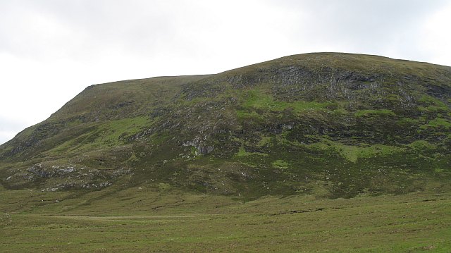
Cnoc na Gamhna is a prominent hill located in the county of Sutherland in the Scottish Highlands. It stands at an elevation of approximately 386 meters (1,266 feet) above sea level. The hill is situated about 4 miles southeast of the town of Dornoch, offering breathtaking views of the surrounding countryside.
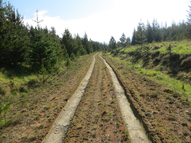
Cnoc na Gamhna is known for its distinctive shape and rugged terrain, making it a popular destination for outdoor enthusiasts and hikers. The hill is characterized by its steep slopes, rocky outcrops, and heather-covered moorland, creating a challenging yet rewarding ascent for those who venture to its summit.
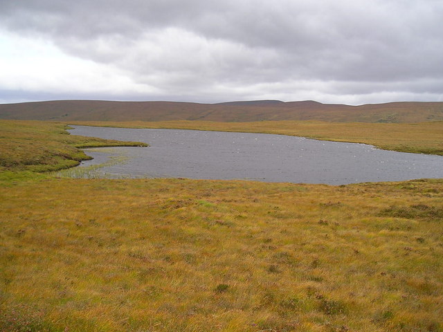
The hill is part of a larger range known as the Sutherland Hills, which is renowned for its stunning natural beauty and diverse wildlife. Cnoc na Gamhna provides a habitat for a variety of bird species, including golden eagles, peregrine falcons, and red grouse. Additionally, the surrounding area is home to red deer, mountain hares, and other native mammals.
Cnoc na Gamhna offers panoramic views of the surrounding landscape, including the nearby Dornoch Firth and the North Sea. On clear days, one can see the peaks of the Cairngorms National Park in the distance, adding to the hill's allure.
Overall, Cnoc na Gamhna is a captivating hill in Sutherland, Scotland, offering a challenging climb, stunning views, and a chance to immerse oneself in the beauty of the Scottish Highlands.
If you have any feedback on the listing, please let us know in the comments section below.
Cnoc na Gamhna Images
Images are sourced within 2km of 58.30062/-4.2331291 or Grid Reference NC6936. Thanks to Geograph Open Source API. All images are credited.


Cnoc na Gamhna is located at Grid Ref: NC6936 (Lat: 58.30062, Lng: -4.2331291)
Unitary Authority: Highland
Police Authority: Highlands and Islands
What 3 Words
///trains.masterpiece.coaching. Near Altnaharra, Highland
Nearby Locations
Related Wikis

Loch Rimsdale
Loch Rimsdale is a loch in the Farr parish in Sutherland in the Highland Council Area of northern Scotland. It is located near the B871 main road. There...
Loch Nan Clar
Loch Nan Clar is a loch in Sutherland in the Highland Council Area of northern Scotland. It is located near the B871 main road, and there is no settlement...
Syre, Scotland
Syre (Scottish Gaelic: Saghair) is a small settlement, located within Strath Naver, in Sutherland, Scottish Highlands and is in the Scottish council area...

Strathnaver
Strathnaver or Strath Naver (Scottish Gaelic: Srath Nabhair) is the fertile strath of the River Naver, a famous salmon river that flows from Loch Naver...
Loch Naver
Loch Naver is a loch in the Farr parish in Sutherland in the Highland council area of northern Scotland. It is situated upon the B873 main road. Upon the...
Langdale Broch
Lanndale Broch is an Iron Age broch in Sutherland, Scotland. == Location == The broch is located next to Langdale Burn, a quarter mile from the River Naver...
Loch Badanloch
Loch Badanloch is a loch in Sutherland in the Highland Council Area of northern Scotland. The settlement on the lake is Bandanloch Lodge. The hamlet of...
Ben Armine
Ben Armine (705 m) is a remote hill in Sutherland in the far north of Scotland. It lies in inland, north of the village of Lairg. The best known summit...
Have you been to Cnoc na Gamhna?
Leave your review of Cnoc na Gamhna below (or comments, questions and feedback).