Bartaggart Hill
Hill, Mountain in Kirkcudbrightshire
Scotland
Bartaggart Hill

Bartaggart Hill is a prominent landmark located in the historical county of Kirkcudbrightshire, in Dumfries and Galloway, Scotland. Rising to a height of 280 meters (919 feet), it is classified as a hill rather than a mountain. The hill is situated near the picturesque village of Gatehouse of Fleet, which lies approximately 5 kilometers (3 miles) to the west.
Bartaggart Hill is renowned for its breathtaking panoramic views of the surrounding countryside. From its summit, visitors can witness stunning vistas of rolling green hills, nearby forests, and the tranquil River Fleet meandering through the valley. On a clear day, the views extend even further, reaching out to the Galloway Hills in the north and the Solway Firth in the south.
The hill's landscape is predominantly covered in heather and bracken, lending it a distinctively Scottish charm. It is a popular destination for hikers and walkers who are drawn to its natural beauty and the opportunity to experience the tranquility of the Scottish countryside. There are well-defined paths leading to the summit, making it accessible to both experienced hikers and those seeking a more leisurely stroll.
Aside from its natural appeal, Bartaggart Hill also holds historical significance. In close proximity to the hill, there are ancient stone circles and remnants of Iron Age forts, indicating human activity in the area dating back thousands of years.
Overall, Bartaggart Hill is a remarkable natural landmark, offering visitors a chance to immerse themselves in the beauty of Kirkcudbrightshire's countryside and connect with its rich historical past.
If you have any feedback on the listing, please let us know in the comments section below.
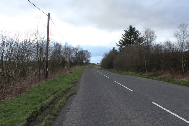
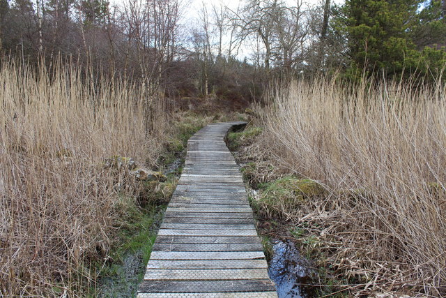
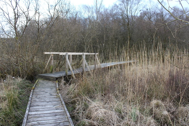
Bartaggart Hill Images
Images are sourced within 2km of 55.087329/-4.054173 or Grid Reference NX6878. Thanks to Geograph Open Source API. All images are credited.


Bartaggart Hill is located at Grid Ref: NX6878 (Lat: 55.087329, Lng: -4.054173)
Unitary Authority: Dumfries and Galloway
Police Authority: Dumfries and Galloway
What 3 Words
///stability.resists.mountains. Near Castle Douglas, Dumfries & Galloway
Nearby Locations
Related Wikis

Barscobe Castle
Barscobe Castle is a 17th-century tower house in Balmaclellan, Kirkcudbrightshire, Scotland. It is a typical house of a country laird, and according to...

Balmaclellan
Balmaclellan (Scottish Gaelic: Baile Mac-a-ghille-dhiolan, meaning town of the MacLellans) is a small hillside village of stone houses with slate roofs...

Ironmacannie Mill
Ironmacannie Mill is a historic watermill near Balmaclellan in Dumfries and Galloway, Scotland. Built in the 18th and 19th centuries, on the site of an...

Loch Howie
Loch Howie is a small, narrow, upland freshwater loch on the north side of Blackcraig Hill, approximately 18 miles (29 km) west of Dumfries, Scotland....

Ken Bridge
The Ken Bridge is a road bridge about 0.8 kilometres (0.5 mi) north east of New Galloway in Dumfries and Galloway, Scotland, which carries the A712 road...

Loch Skae
Loch Skae is a small, upland freshwater loch to the north of Blackcraig Hill, approximately 18 miles (29 km) west of Dumfries, Scotland, 0.5 mi (0.80 km...

New Galloway
New Galloway (Scottish Gaelic: Gall-Ghàidhealaibh Nuadh) is a town in the historical county of Kirkcudbrightshire in Dumfries and Galloway. It lies on...

New Galloway Town Hall
The New Galloway Town Hall is a municipal building in Dumfries and Galloway, Scotland, situated on the town's high street. A tolbooth has existed on the...
Nearby Amenities
Located within 500m of 55.087329,-4.054173Have you been to Bartaggart Hill?
Leave your review of Bartaggart Hill below (or comments, questions and feedback).