Barend Hill

Hill, Mountain in Kirkcudbrightshire

Scotland

Barend Hill

Access bridge to fields An farm access bridge over a disused railway track near Parton.
Access bridge to fields Credit: Colin Kinnear

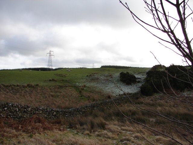
Barend Hill is a prominent hill located in the Kirkcudbrightshire region of Scotland. It stands at an elevation of approximately 298 meters (978 feet) above sea level and is part of the wider Galloway Hills range. The hill is situated just a few miles northeast of the town of Gatehouse of Fleet, offering stunning panoramic views of the surrounding countryside.

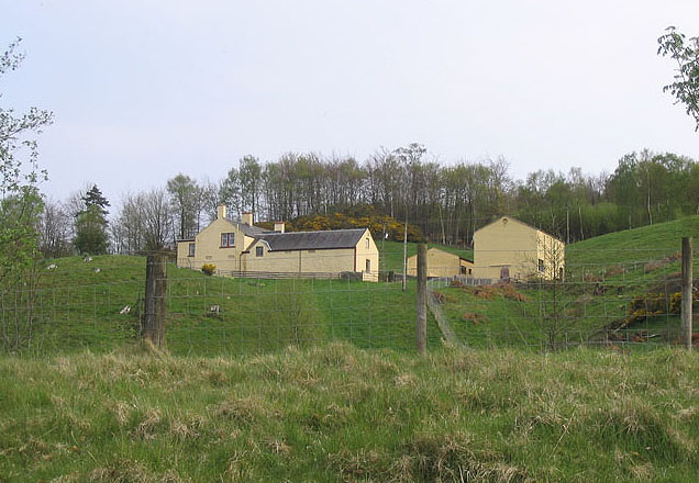
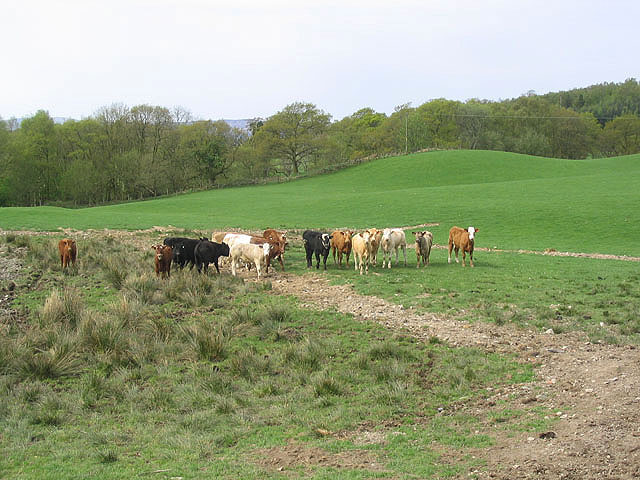
Barend Hill is characterized by its gently sloping sides and rounded summit, making it accessible to both hikers and walkers of various abilities. The hill is covered in lush green vegetation, comprising mainly of grasses, heather, and scattered patches of woodland. The area is also home to a diverse range of wildlife, including birds, rabbits, and deer, making it a popular spot for nature enthusiasts.

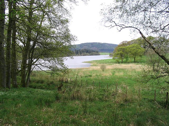
The summit of Barend Hill offers breathtaking vistas of the Galloway Forest Park and the Solway Firth, providing visitors with a perfect vantage point to admire the natural beauty of the region. On a clear day, it is even possible to catch a glimpse of the Isle of Man in the distance.

Several well-marked trails and footpaths traverse Barend Hill, allowing visitors to explore its slopes and summit. These routes vary in difficulty, catering to both experienced hikers and those seeking a more leisurely stroll. The hill is a popular destination for outdoor enthusiasts, offering a peaceful and picturesque escape from the bustle of everyday life.

Overall, Barend Hill in Kirkcudbrightshire is a stunning natural landmark that provides visitors with an opportunity to immerse themselves in the beauty of Scotland's countryside while enjoying invigorating outdoor activities.

If you have any feedback on the listing, please let us know in the comments section below.
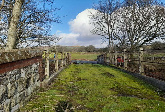
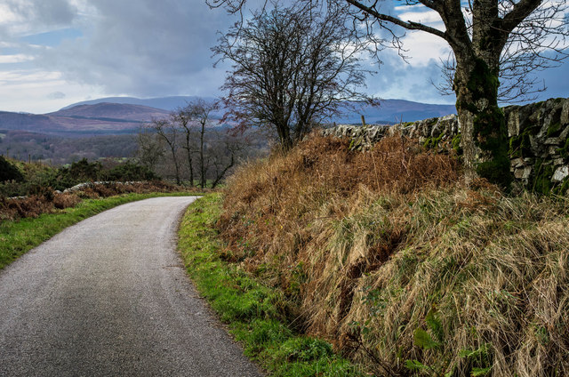
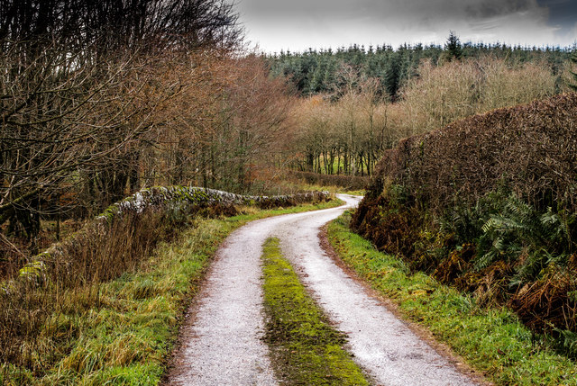
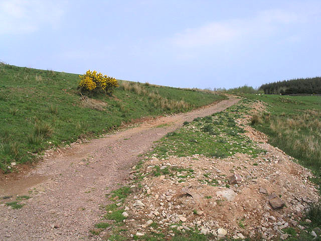
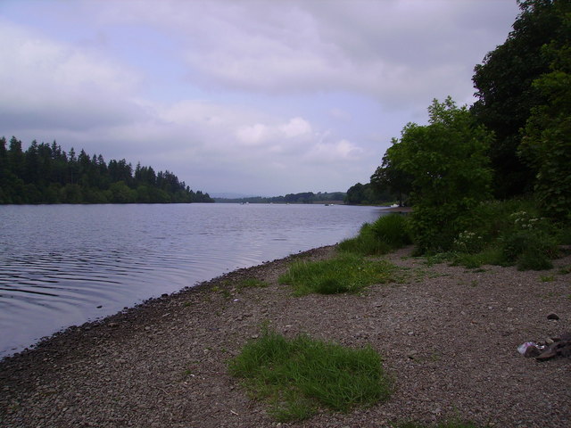
Barend Hill Images

Images are sourced within 2km of 55.023574/-4.0511602 or Grid Reference NX6871. Thanks to Geograph Open Source API. All images are credited.

Access bridge to fields An farm access bridge over a disused railway track near Parton.
Access bridge to fields
An farm access bridge over a disused railway track near Parton.
The road to Parton A downhill to Parton with the Glenkens beyond
The road to Parton
A downhill to Parton with the Glenkens beyond
Below Rumples Hill
Below Rumples Hill
Access track In a field east of Crow Hill.
Access track
In a field east of Crow Hill.
View SE toward Glengunnoch Hill View from single track Parton-Knockvennie road east of Fominoch Wood. Sheep craze on the NW shoulder of Glengunnoch Hill Woods (just visible over rise). Overnight February snow is retreating into the shaded corners at noon.
View SE toward Glengunnoch Hill
View from single track Parton-Knockvennie road east of Fominoch Wood. Sheep craze on the NW shoulder of Glengunnoch Hill Woods (just visible over rise). Overnight February snow is retreating into the shaded corners at noon.
Overlaggan, Parton Overlaggan, a remote hill farm - caught by the camera during a brief sunny break in the March storms.
Overlaggan, Parton
Overlaggan, a remote hill farm - caught by the camera during a brief sunny break in the March storms.
Overlaggan Farm Track Viewing south-east toward Overlaggan Farm. Beyond is Barend Hill (189m).
Overlaggan Farm Track
Viewing south-east toward Overlaggan Farm. Beyond is Barend Hill (189m).
Parton The village of Parton.  The building with the clock tower is a self catering cottage.  In the garden of one of the cottages further on is a communal 8 seater privy (now unused)
Parton
The village of Parton. The building with the clock tower is a self catering cottage. In the garden of one of the cottages further on is a communal 8 seater privy (now unused)
Loch Ken Viaduct Former railway viaduct, now (sadly) in private hands and closed to walkers and cyclists.
Loch Ken Viaduct
Former railway viaduct, now (sadly) in private hands and closed to walkers and cyclists.
A group of kayakers paddling north on the Loch
Parton Privy Communal toilet block, for the row of eight cottages at Parton.  It is no longer used today for its original purpose.  One of the cubicals has been preserved.
Parton Privy
Communal toilet block, for the row of eight cottages at Parton. It is no longer used today for its original purpose. One of the cubicals has been preserved.
Loch Ken Viewed from the edge of a small wood near Drumrash.
Loch Ken
Viewed from the edge of a small wood near Drumrash.
Glenlaggan Buildings on Glenlaggan Park where there are lodges to buy or rent and caravan berths with spectacular views to Loch Ken and Galloway Forest Park.
Glenlaggan
Buildings on Glenlaggan Park where there are lodges to buy or rent and caravan berths with spectacular views to Loch Ken and Galloway Forest Park.
Cattle field Livestock viewed from a minor road at Fominoch.
Cattle field
Livestock viewed from a minor road at Fominoch.
Farmland near Overlaggan
Loch Ken Looking northwest up the Loch from the shore near Glenlaggan
Loch Ken
Looking northwest up the Loch from the shore near Glenlaggan
Little Drumrash, Parton.
Road winding down to the Cottages at Parton
Show me another place!

Barend Hill is located at Grid Ref: NX6871 (Lat: 55.023574, Lng: -4.0511602)

Unitary Authority: Dumfries and Galloway

Police Authority: Dumfries and Galloway

What 3 Words

///frail.breed.penned. Near Castle Douglas, Dumfries & Galloway

Related Wikis

Loch Ken

Loch Ken is a 9 miles (14 km) long freshwater loch in the historic county of Kirkcudbrightshire in Dumfries and Galloway, Scotland. It lies in the Glenkens...

Parton railway station (Portpatrick and Wigtownshire Joint Railway)

Parton railway station served the hamlet of Parton, Dumfries and Galloway, Scotland, from 1861 to 1965 on the Portpatrick and Wigtownshire Joint Railway...

Parton, Dumfries and Galloway

Parton is a hamlet situated on the banks of the River Dee in the historical county of Kirkcudbrightshire, Dumfries and Galloway, Scotland. == Notable... ==

Airds of Kells

Airds of Kells is a farm and small estate in the historical county of Kirkcudbrightshire in the parish of Kells, Dumfries and Galloway, Scotland. The...

New Galloway railway station

New Galloway railway station served the town of New Galloway in Dumfries and Galloway, Scotland, from 1861 to 1965 on the Portpatrick and Wigtownshire...

Ironmacannie Mill

Ironmacannie Mill is a historic watermill near Balmaclellan in Dumfries and Galloway, Scotland. Built in the 18th and 19th centuries, on the site of an...

Kirkcudbrightshire

Kirkcudbrightshire ( kur-KOO-brish-ər, -⁠eer; Scots: [kərˈku(d)brəʃər]), or the County of Kirkcudbright or the Stewartry of Kirkcudbright is one of the...

Galloway

Galloway (Scottish Gaelic: Gall-Ghàidhealaibh [ˈkal̪ˠaɣəl̪ˠu]; Scots: Gallowa; Latin: Gallovidia) is a region in southwestern Scotland comprising the historic...

Nearby Amenities

Located within 500m of 55.023574,-4.0511602
Power: tower
Lat/Long: 55.0250546/-4.057061
Barend Hill
Ele: 189
Natural: peak
Lat/Long: 55.0236146/-4.051103
Communication Mobile Phone: yes
Man Made: mast
Tower Type: communication
Lat/Long: 55.0219348/-4.0544986
Tourism: viewpoint
Lat/Long: 55.0212457/-4.0550777
Power: pole
Lat/Long: 55.0247984/-4.0578102
Power: pole
Lat/Long: 55.024457/-4.0565892
Power: pole
Lat/Long: 55.0239822/-4.0551611
Power: pole
Lat/Long: 55.0236481/-4.0541024
Power: pole
Lat/Long: 55.0231146/-4.0529027
Power: pole
Lat/Long: 55.0228723/-4.0522217
Power: pole
Lat/Long: 55.0227328/-4.0517585
Power: pole
Lat/Long: 55.0224428/-4.0509068
Power: pole
Lat/Long: 55.0222311/-4.0502301
Power: pole
Lat/Long: 55.0219803/-4.0490902
Power: pole
Lat/Long: 55.0217233/-4.0477518
Power: pole
Lat/Long: 55.0214528/-4.0465628
Power: pole
Lat/Long: 55.02135/-4.0459971
Power: pole
Lat/Long: 55.0209132/-4.0450045
Power: pole
Lat/Long: 55.0196613/-4.0483199
Power: pole
Lat/Long: 55.0198519/-4.0492111
The data included in this document is from www.openstreetmap.org. The data is made available under ODbL.

Have you been to Barend Hill?

Leave your review of Barend Hill below (or comments, questions and feedback).