Carnedd Gwenllian

Hill, Mountain in Caernarfonshire

Wales

Carnedd Gwenllian

Dulyn Bothy Maintained by The Mountain Bothies Association.
Dulyn Bothy Credit: Colin Kinnear

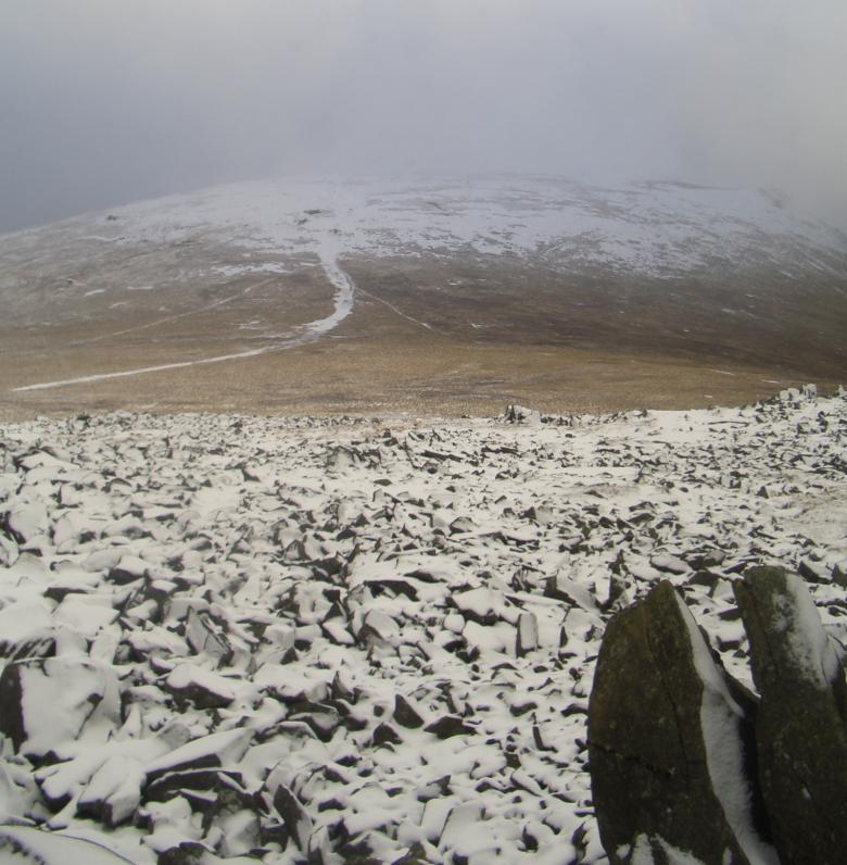
Carnedd Gwenllian is a prominent hill located in the county of Caernarfonshire in Wales. It forms part of the Carneddau range, which is a section of the Snowdonia National Park. With an elevation of 800 meters (2,625 feet), it is considered one of the significant hills in the region.

The hill is named after Gwenllian of Wales, a princess who lived during the 13th century and led a rebellion against the English invaders. This historical connection adds to the cultural significance of Carnedd Gwenllian.

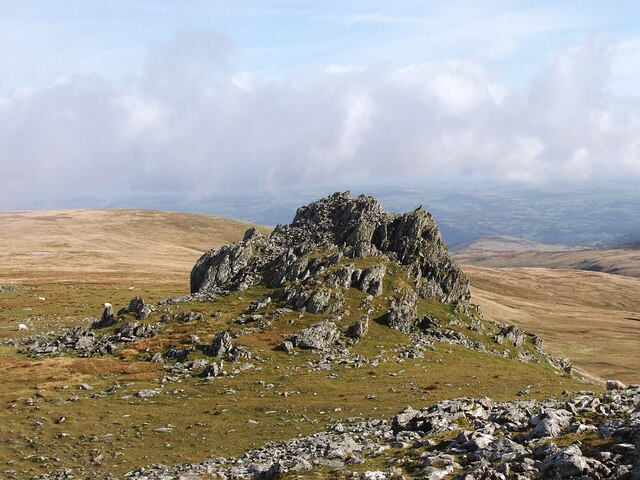
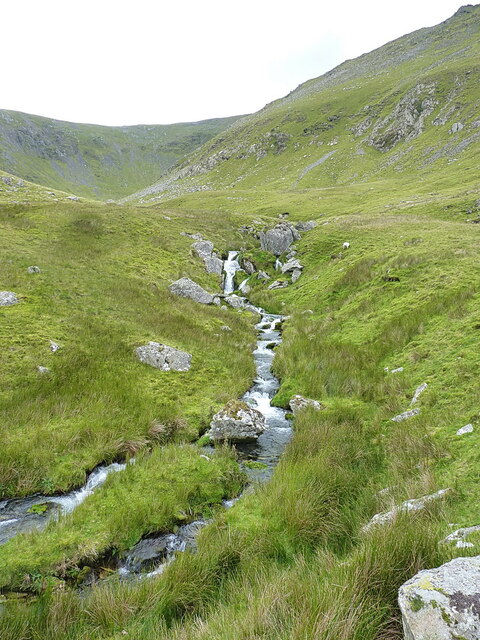
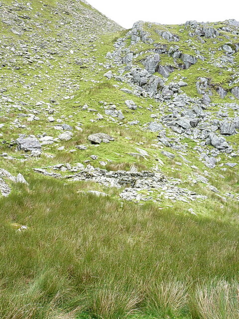
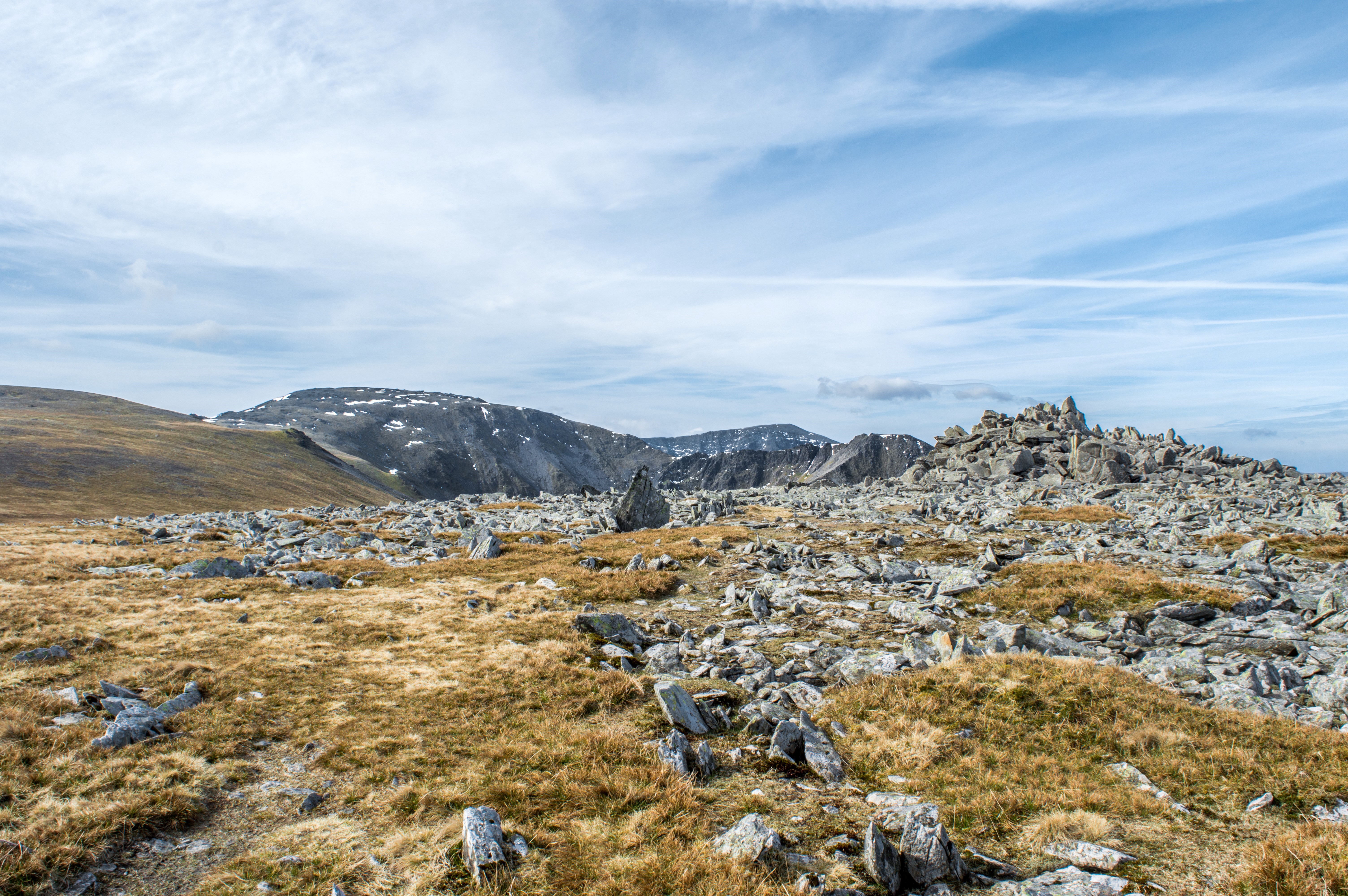
The terrain of Carnedd Gwenllian is characterized by steep slopes and rocky outcrops. It is composed mainly of volcanic rocks, including rhyolite and tuff, which were formed millions of years ago during volcanic activity in the region. The hill offers breathtaking panoramic views of the surrounding landscape, including nearby peaks such as Carnedd Llewelyn and Yr Elen.

Carnedd Gwenllian is a popular destination for hikers and mountaineers due to its accessibility and challenging terrain. Several trails and footpaths lead to the summit, providing opportunities for outdoor enthusiasts to explore the beautiful Welsh countryside. The hill is also home to a variety of wildlife, including mountain goats, birds of prey, and rare alpine plants.

Overall, Carnedd Gwenllian is a stunning natural feature that offers both historical and recreational value. Its combination of rugged beauty, historical significance, and diverse ecosystems make it a must-visit destination for nature lovers and history enthusiasts alike.

If you have any feedback on the listing, please let us know in the comments section below.

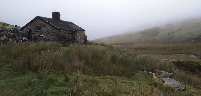
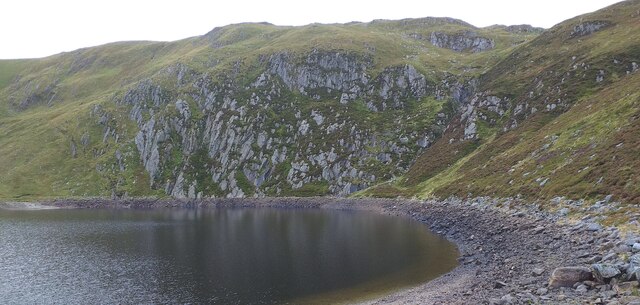
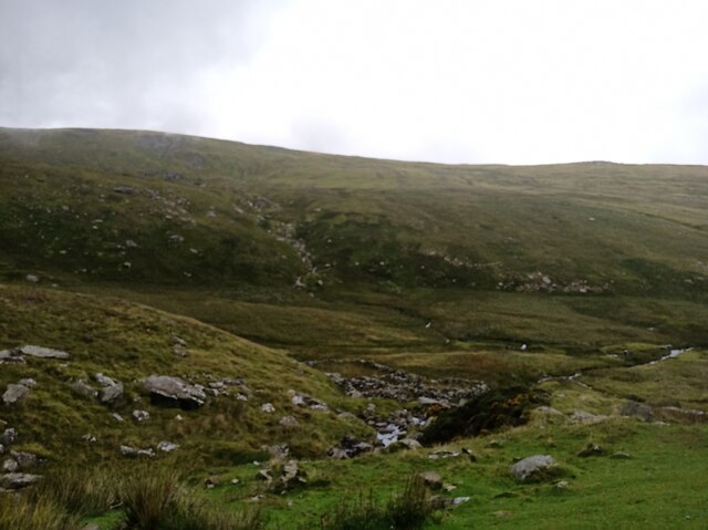
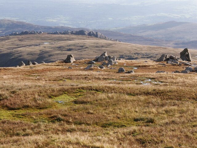
Carnedd Gwenllian Images

Images are sourced within 2km of 53.182955/-3.9663306 or Grid Reference SH6866. Thanks to Geograph Open Source API. All images are credited.

Dulyn Bothy Maintained by The Mountain Bothies Association.
Dulyn Bothy
Maintained by The Mountain Bothies Association.
Melynllyn Reservoir near Dulyn bothy.
Melynllyn
Reservoir near Dulyn bothy.
Rock Outcrop Below Foel Fras
Enclosure Below Foel Fras
Views from Dulyn Bothy
Boulder close to Foel-fras
Wild horses close to Foel-fras
Foel Fras  Foel Fras 942m situated in the northern Carneddau, the largest expense of 3000ft mountains outside the Scottish Highlands.
Foel Fras
Foel Fras 942m situated in the northern Carneddau, the largest expense of 3000ft mountains outside the Scottish Highlands.
Rock Outcrops Above Melynllyn
Rock Outcrop, Carnedd Llewelyn
Foel-fras peak
Foel-fras peak
The upper reaches of the Afon Caseg A view into the upper part of Cwm Caseg, where the stream comes down in a series of small cascades and falls.
The upper reaches of the Afon Caseg
A view into the upper part of Cwm Caseg, where the stream comes down in a series of small cascades and falls.
Unknown old building in Cwm Caseg Below the boulders and scree on the hillside, there's a small building about 50 yards in front of me here, which is loosely recorded by the Gwynedd Archaeological Trust <span class="nowrap"><a title="https://archwilio.org.uk/arch/query/page.php?watprn=GAT6848&dbname=gat&tbname=core" rel="nofollow ugc noopener" href="https://archwilio.org.uk/arch/query/page.php?watprn=GAT6848&dbname=gat&tbname=core">Link</a><img style="margin-left:2px;" alt="External link" title="External link - shift click to open in new window" src="https://s1.geograph.org.uk/img/external.png" width="10" height="10"/></span> as a sheepfold, but with an acknowledgement that "There is a possibility of medieval foundations below some of the structures"
Unknown old building in Cwm Caseg
Below the boulders and scree on the hillside, there's a small building about 50 yards in front of me here, which is loosely recorded by the Gwynedd Archaeological Trust LinkExternal link as a sheepfold, but with an acknowledgement that "There is a possibility of medieval foundations below some of the structures"
Bubbling spring One of several similar springs forming a bit of a line beneath the hillside of Carreg y Gath, all of which feed into the Afon Caseg. I didn't sample the water, but for sure it would have been cold, clean and fine to drink.
Bubbling spring
One of several similar springs forming a bit of a line beneath the hillside of Carreg y Gath, all of which feed into the Afon Caseg. I didn't sample the water, but for sure it would have been cold, clean and fine to drink.
The large sheepfold by the Afon Wen The same feature as <a href="https://www.geograph.org.uk/photo/1828459">SH6766 : Sheep Pen at Afon Wen</a>, no longer in regular use by the look of things, but relatively unchanged since that image was taken.
The large sheepfold by the Afon Wen
The same feature as SH6766 : Sheep Pen at Afon Wen, no longer in regular use by the look of things, but relatively unchanged since that image was taken.
The Afon Wen above the sheepfold
Ponies in Cwm Caseg A few members of the herd of 200-300 semi-feral ponies that are left to roam the Carneddau hills
Ponies in Cwm Caseg
A few members of the herd of 200-300 semi-feral ponies that are left to roam the Carneddau hills
Moorland in Cwm Caseg A view down much of the length of lower Cwm Caseg, with the hills of Foel Goch, Mynydd Perfedd and Carnedd y Filiast visible on the far side of the Nant Ffrancon valley.
Moorland in Cwm Caseg
A view down much of the length of lower Cwm Caseg, with the hills of Foel Goch, Mynydd Perfedd and Carnedd y Filiast visible on the far side of the Nant Ffrancon valley.
Show me another place!

Carnedd Gwenllian is located at Grid Ref: SH6866 (Lat: 53.182955, Lng: -3.9663306)

Unitary Authority: Gwynedd

Police Authority: North Wales

What 3 Words

///helpless.dislodge.coaching. Near Bethesda, Gwynedd

Related Wikis

Gyrn Wigau

Gyrn Wigau is a summit of the Carneddau range in Snowdonia, Wales, and forms a part of the western Carneddau commonly known as the Beras. It is a top of...

Carnedd Gwenllian

Carnedd Gwenllian (named Y Garnedd Uchaf before 2009) is a minor summit of the Carneddau range in Snowdonia, Wales, and included in the Welsh 3000s. From...

Drosgl

Y Drosgl is a summit of the Carneddau range in Snowdonia, Wales, and forms a part of the western Carneddau, also known as the Berau, meaning 'stacks' or...

Foel Grach

Foel Grach is a mountain in the Carneddau range. It is the eighth-highest summit in Snowdonia as well as Wales, and is included in the Welsh 3000s. It...

Llyn Dulyn

Llyn Dulyn (Welsh for 'black lake') is a lake on the edge of the Carneddau range of mountains in Snowdonia, North Wales. The lake is 33 acres (130,000...

Foel-fras

Foel-fras (944 m) is a mountain in the Carneddau range, about 10 km east of Bethesda in North Wales. It lies on the border between the counties of Gwynedd...

Llyn Melynllyn

Llyn Melynllyn (Welsh for 'yellow lake') is a lake within the Carneddau range of mountains in Snowdonia, North Wales. It lies at a height of just over...

Yr Elen

Yr Elen is a mountain in the Carneddau range in Snowdonia, Wales. It is the ninth highest mountain in Snowdonia. The average annual temperature of the...

Nearby Amenities

Located within 500m of 53.182955,-3.9663306
Carnedd Gwenllian (was Y Garnedd Uchaf)
Ele: 926
Natural: peak
Wikidata: Q5523604
Wikipedia: en:Carnedd Gwenllian
Lat/Long: 53.182957/-3.9663499
The data included in this document is from www.openstreetmap.org. The data is made available under ODbL.

Have you been to Carnedd Gwenllian?

Leave your review of Carnedd Gwenllian below (or comments, questions and feedback).