Cringate Law

Hill, Mountain in Stirlingshire

Scotland

Cringate Law

Earlsburn Windfarm from the North Looking back to windfarm from the northernmost turbine.
Earlsburn Windfarm from the North Credit: I A Smellie

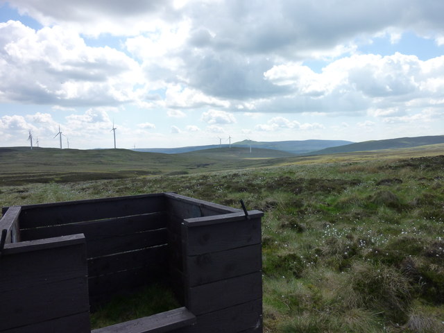
Cringate Law is a prominent hill located in Stirlingshire, a county in central Scotland. With an elevation of approximately 411 meters (1,348 feet), it is a popular destination for outdoor enthusiasts and hikers seeking stunning panoramic views of the surrounding landscape.

Situated near the town of Falkirk, Cringate Law is easily accessible and attracts visitors from both the local area and beyond. The hill is characterized by its distinctive conical shape and rocky terrain, which adds to its allure and provides an invigorating challenge for climbers.

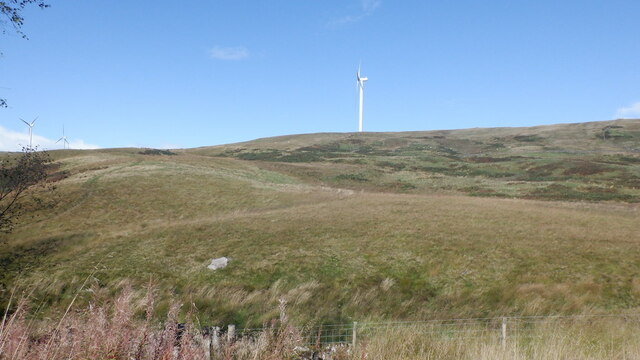
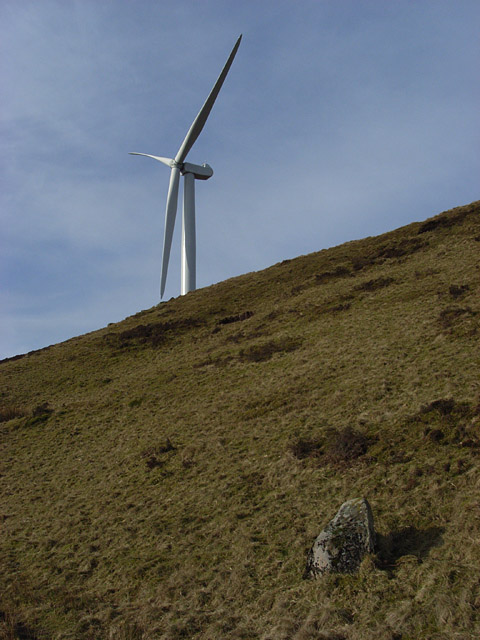
The ascent to the summit of Cringate Law is relatively moderate, making it suitable for hikers of varying skill levels. Along the way, walkers can enjoy breathtaking vistas of the rolling countryside, including the lush green fields, meandering rivers, and distant peaks that dot the Stirlingshire landscape.

At the summit, visitors are rewarded with a breathtaking 360-degree view, encompassing the picturesque Forth Valley, the Ochil Hills, and even glimpses of the renowned Loch Lomond and Trossachs National Park. On clear days, it is even possible to see as far as the imposing Ben Lomond, one of Scotland's most iconic mountains.

Cringate Law also holds historical significance, with remnants of ancient settlements and burial mounds scattered throughout its slopes. These archaeological features add an extra layer of intrigue and make the hill an intriguing destination for history enthusiasts.

Overall, Cringate Law offers a memorable outdoor experience, combining natural beauty, physical activity, and a touch of history, making it a must-visit location for those exploring the Stirlingshire region.

If you have any feedback on the listing, please let us know in the comments section below.

Cringate Law Images

Images are sourced within 2km of 56.069094/-4.1152789 or Grid Reference NS6888. Thanks to Geograph Open Source API. All images are credited.

Earlsburn Windfarm from the North Looking back to windfarm from the northernmost turbine.
Earlsburn Windfarm from the North
Looking back to windfarm from the northernmost turbine.
Moorland South of Carleatheran Looking across remote moorland to the windfarm from a line of grouse butts. The terrain north of here is tough going unless ATV or sheep tracks can be found.
Moorland South of Carleatheran
Looking across remote moorland to the windfarm from a line of grouse butts. The terrain north of here is tough going unless ATV or sheep tracks can be found.
T1, Earlsburn The farthest north of the turbines above the top of the No. 1 Reservoir which can be seen below.
T1, Earlsburn
The farthest north of the turbines above the top of the No. 1 Reservoir which can be seen below.
Cringate One of the turbines on Cringate Hill, seen from the hill road between North Third and the Carron Valley Reservoir.
Cringate
One of the turbines on Cringate Hill, seen from the hill road between North Third and the Carron Valley Reservoir.
Ruined dyke An isolated field above Todholes
Ruined dyke
An isolated field above Todholes
View over Todholes Towards Meikle Bin.
View over Todholes
Towards Meikle Bin.
Hill pasture above Loch Walton
Wind turbines on Ling Hill The turbines loom over the farm building at Cringate, and the ruined buildings at Burnfoot.

Stob Binnein and Ben More are visible in the distance, with very little snow for the time of year.
Wind turbines on Ling Hill
The turbines loom over the farm building at Cringate, and the ruined buildings at Burnfoot. Stob Binnein and Ben More are visible in the distance, with very little snow for the time of year.
North side of Cairnoch Hill Looking N from position
North side of Cairnoch Hill
Looking N from position
Burnfoot Derelict house close to where Burnfoot Burn and Backside Burn meet
Burnfoot
Derelict house close to where Burnfoot Burn and Backside Burn meet
Road to Earl's Hill
Road to Earl's Hill
Turbines and a halo, Hart Hill Refraction and reflection caused by ice crystals in the cirrus cloud.
Turbines and a halo, Hart Hill
Refraction and reflection caused by ice crystals in the cirrus cloud.
Sheep and turbine, Hart Hill The steep bit of hillside southeast of the top.
Sheep and turbine, Hart Hill
The steep bit of hillside southeast of the top.
Turbine, Hart Hill Just south of the top of the hill.
Turbine, Hart Hill
Just south of the top of the hill.
Turbine and hut, Hart Hill One of 15 newly erected turbines at Earlsburn.
Turbine and hut, Hart Hill
One of 15 newly erected turbines at Earlsburn.
Wind turbine, Earlsburn And beyond lots of turbines at the Braes of Doune windfarm.
Wind turbine, Earlsburn
And beyond lots of turbines at the Braes of Doune windfarm.
Hart Hill View down to the Firth of Forth.
Hart Hill
View down to the Firth of Forth.
Wind turbines, Hart Hill Showing the turbines stretching southwards from the top of the hill.
Wind turbines, Hart Hill
Showing the turbines stretching southwards from the top of the hill.
Show me another place!

Cringate Law is located at Grid Ref: NS6888 (Lat: 56.069094, Lng: -4.1152789)

Unitary Authority: Stirling

Police Authority: Forth Valley

What 3 Words

///potions.piled.official. Near Kippen, Stirling

Nearby Locations

Cringate Law

Related Wikis

Dundaff Castle, Stirling

Dundaff Castle, also known as Sir John de Graham Castle or Graham's Castle, is a ruined 12th century square motte and bailey castle in the Stirling council...

Gargunnock Hills

The Gargunnock Hills are a range of hills west of the city of Stirling, Scotland. They culminate in the peak of Carleatheran, whose 485-metre (1,591 ft...

Loup of Fintry

Loup of Fintry is a notable waterfall on the River Endrick around 2 miles to the east of Fintry in Scotland and 17 miles from Stirling, 10 miles from Denny...

Fintry Hills

The Fintry Hills form the western end of a range of hills which stretch west from the city of Stirling, Scotland. They culminate in the 511-metre (1,677...

Nearby Amenities

Located within 500m of 56.069094,-4.1152789
Generator Method: wind_turbine
Generator Output Electricity: 2.5 MW
Generator Source: wind
Generator Type: horizontal_axis
Height: 80 m
Manufacturer: Nordex
Model: N80/2500
Operator: Falck Renewables
Operator Wikidata: Q5431701
Power: generator
Start Date: 12/2017
Lat/Long: 56.0678091/-4.1148888
Cringate Law
Ele: 396
Ele Ft: 1301
Natural: peak
Lat/Long: 56.0693532/-4.1160112
Generator Method: wind_turbine
Generator Output Electricity: 2.5 MW
Generator Source: wind
Generator Type: horizontal_axis
Height: 80 m
Manufacturer: Nordex
Model: N80/2500
Operator: Falck Renewables
Operator Wikidata: Q5431701
Power: generator
Start Date: 12/2017
Lat/Long: 56.0702881/-4.1152901
Generator Method: wind_turbine
Generator Output Electricity: 2.5 MW
Generator Source: wind
Generator Type: horizontal_axis
Height: 80 m
Manufacturer: Nordex
Model: N80/2500
Operator: Falck Renewables
Operator Wikidata: Q5431701
Power: generator
Start Date: 12/2017
Lat/Long: 56.072576/-4.1164981
Barrier: cattle_grid
Lat/Long: 56.0697024/-4.1232517
The data included in this document is from www.openstreetmap.org. The data is made available under ODbL.

Have you been to Cringate Law?

Leave your review of Cringate Law below (or comments, questions and feedback).