Haugh Hill
Hill, Mountain in Stirlingshire
Scotland
Haugh Hill
Haugh Hill is a prominent geological feature located in Stirlingshire, Scotland. Standing at an elevation of approximately 352 meters (1154 feet), it is categorized as a hill rather than a mountain.
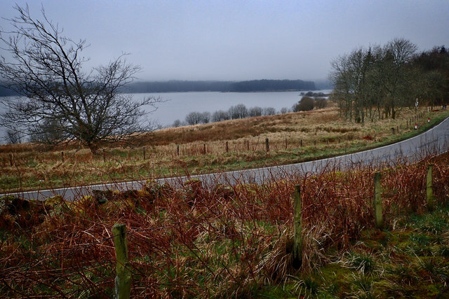
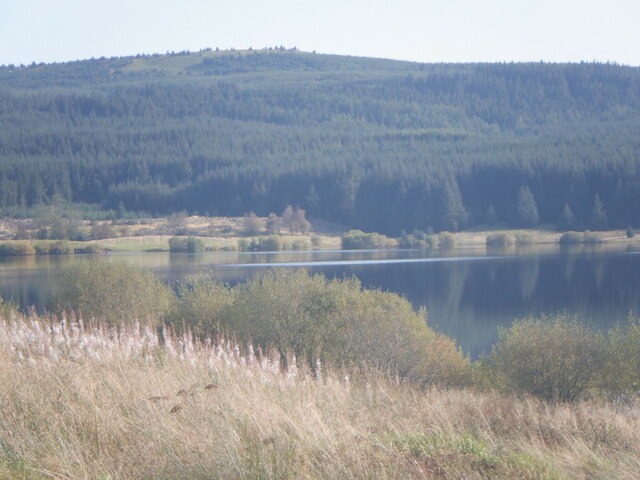
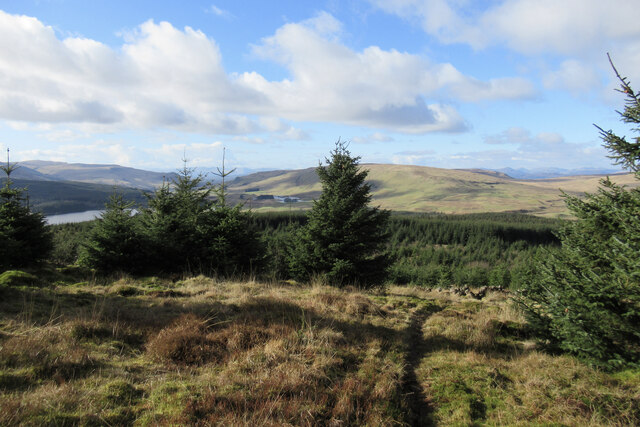
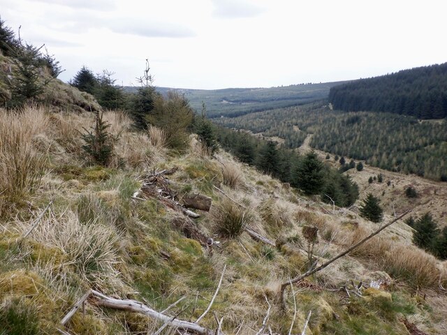
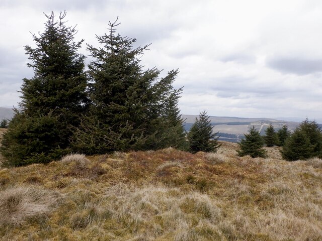
Situated in the eastern part of the county, Haugh Hill offers breathtaking panoramic views of the surrounding landscape. Its position provides an ideal vantage point to observe the nearby villages and towns, as well as the picturesque countryside stretching out towards the horizon.
The hill is primarily composed of sedimentary rocks, with layers of sandstone and shale prevalent in the area. These rocks date back millions of years and offer valuable insights into the geological history of the region. Fossil remains have been discovered in the vicinity, including ancient plant and animal specimens that shed light on the area's past ecosystems.
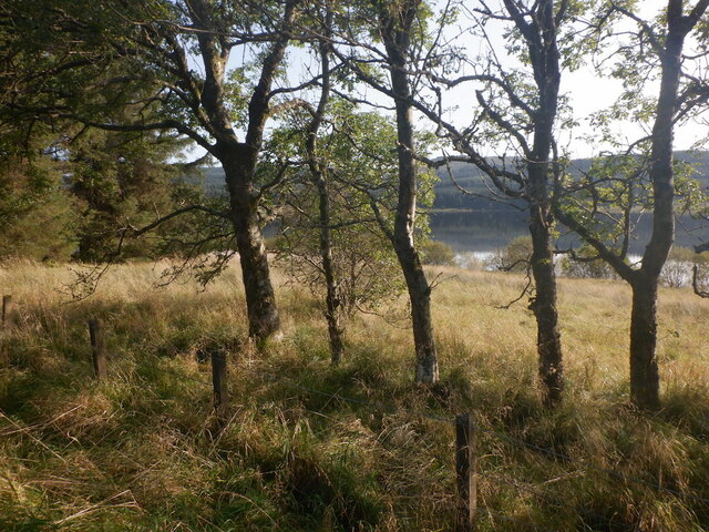
Haugh Hill is a popular destination for outdoor enthusiasts and nature lovers alike. Its well-maintained trails and paths offer opportunities for hiking and walking, allowing visitors to immerse themselves in the natural beauty of the Scottish countryside. The area is also home to a diverse range of flora and fauna, with various species of birds and small mammals often spotted by observant visitors.
Overall, Haugh Hill provides a serene and captivating experience for those seeking to connect with nature and explore the geological wonders of Stirlingshire.
If you have any feedback on the listing, please let us know in the comments section below.
Haugh Hill Images
Images are sourced within 2km of 56.032285/-4.1152225 or Grid Reference NS6884. Thanks to Geograph Open Source API. All images are credited.
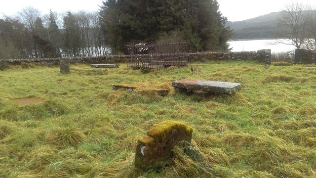
![Entrance to Kirk O' Muir burial ground A small disused burial ground containing a number of grave slabs, the earliest dated 1695. See Canmore for more information [<span class="nowrap"><a title="https://canmore.org.uk/site/45979/kirk-o-muir" rel="nofollow ugc noopener" href="https://canmore.org.uk/site/45979/kirk-o-muir">Link</a><img style="margin-left:2px;" alt="External link" title="External link - shift click to open in new window" src="https://s1.geograph.org.uk/img/external.png" width="10" height="10"/></span>].](https://s3.geograph.org.uk/geophotos/05/81/70/5817087_0b73df99.jpg)
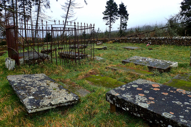
![Kirk O' Muir burial ground A small disused burial ground containing a number of grave slabs, the earliest dated 1651. See Canmore for more information [<span class="nowrap"><a title="https://canmore.org.uk/site/45979/kirk-o-muir" rel="nofollow ugc noopener" href="https://canmore.org.uk/site/45979/kirk-o-muir">Link</a><img style="margin-left:2px;" alt="External link" title="External link - shift click to open in new window" src="https://s1.geograph.org.uk/img/external.png" width="10" height="10"/></span>].](https://s2.geograph.org.uk/geophotos/05/81/71/5817166_faeb3d18.jpg)


Haugh Hill is located at Grid Ref: NS6884 (Lat: 56.032285, Lng: -4.1152225)
Unitary Authority: Stirling
Police Authority: Forth Valley
What 3 Words
///unlocking.rinsed.bloom. Near Kilsyth, North Lanarkshire
Nearby Locations
Related Wikis

Dundaff Castle, Stirling
Dundaff Castle, also known as Sir John de Graham Castle or Graham's Castle, is a ruined 12th century square motte and bailey castle in the Stirling council...

Peggie's Spout
Peggie's Spout is a waterfall of Scotland. == See also == Waterfalls of Scotland == References ==

Meikle Bin
Meikle Bin is a peak in the Campsie Fells in Central Scotland. It is the second-highest of the group at 570 metres (1,870 ft), and with its prominence...

Loup of Fintry
Loup of Fintry is a notable waterfall on the River Endrick around 2 miles to the east of Fintry in Scotland and 17 miles from Stirling, 10 miles from Denny...
Nearby Amenities
Located within 500m of 56.032285,-4.1152225Have you been to Haugh Hill?
Leave your review of Haugh Hill below (or comments, questions and feedback).