Drummanister Hill
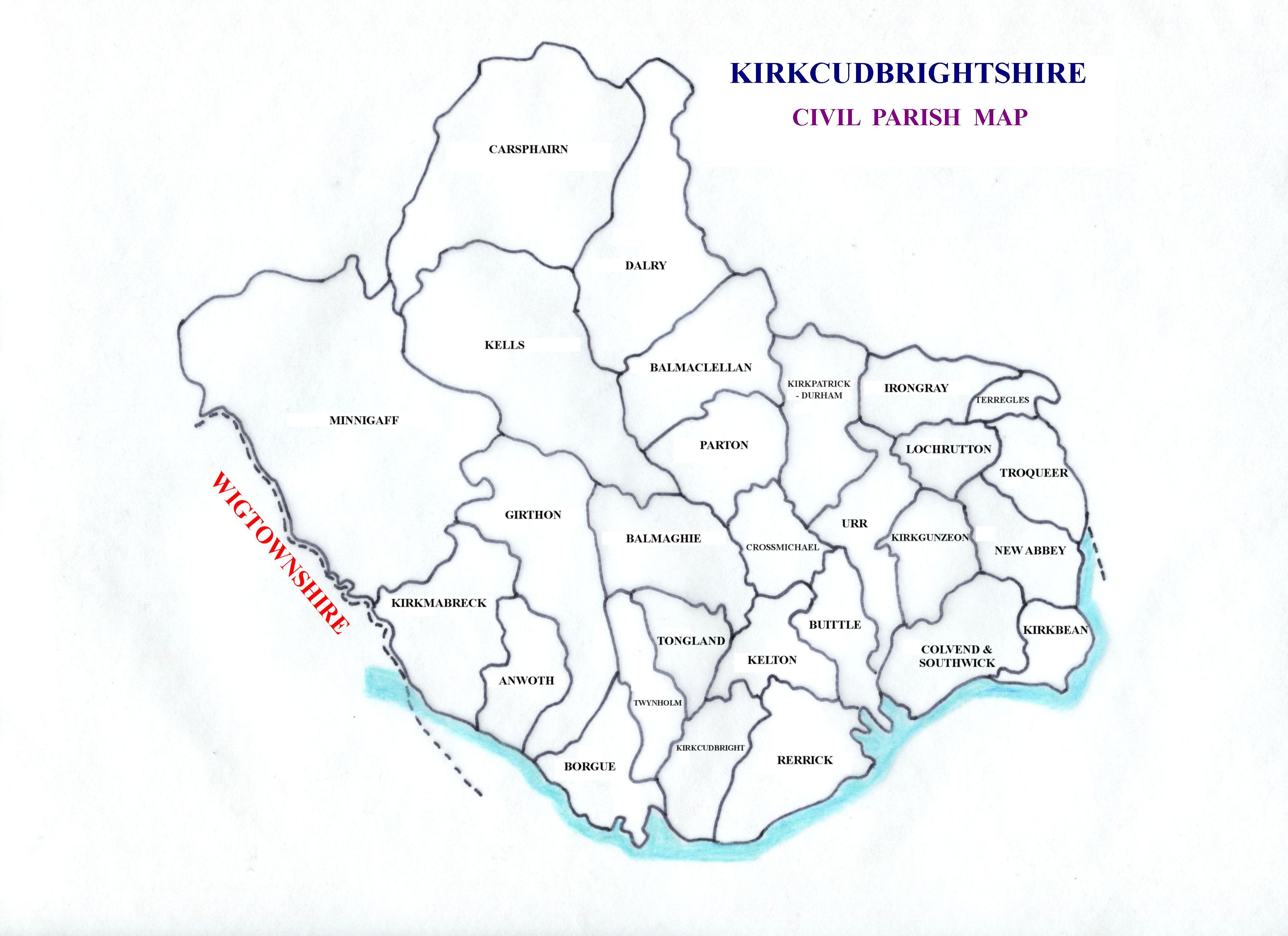
Hill, Mountain in Kirkcudbrightshire
Scotland
Drummanister Hill

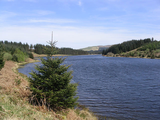
Drummanister Hill is a prominent hill located in the region of Kirkcudbrightshire in southwestern Scotland. Standing at an elevation of approximately 241 meters (791 feet), it offers breathtaking panoramic views of the surrounding countryside and the nearby Solway Firth.
The hill is characterized by its gently sloping terrain, covered in lush green vegetation during the warmer months. It is primarily composed of sedimentary rock, with occasional outcrops visible along its slopes. The hill's summit is relatively flat, providing ample space for visitors to enjoy the vistas and take in the serene ambiance.
Drummanister Hill is easily accessible, with a well-maintained footpath leading to the top. The path takes hikers through a picturesque landscape, featuring wildflowers, ferns, and various species of birds and butterflies. Along the way, informational signs provide insight into the local flora and fauna, enriching the experience for nature enthusiasts.
The hill is a popular spot for outdoor activities, including walking, hiking, and picnicking. Its proximity to the charming town of Kirkcudbright makes it an ideal destination for both locals and tourists seeking a peaceful escape from the bustle of urban life.
Overall, Drummanister Hill is a natural gem in Kirkcudbrightshire, offering visitors an opportunity to immerse themselves in the beauty of the Scottish countryside while enjoying stunning views and a tranquil atmosphere.
If you have any feedback on the listing, please let us know in the comments section below.
Drummanister Hill Images
Images are sourced within 2km of 55.112822/-4.0704556 or Grid Reference NX6881. Thanks to Geograph Open Source API. All images are credited.
Drummanister Hill is located at Grid Ref: NX6881 (Lat: 55.112822, Lng: -4.0704556)
Unitary Authority: Dumfries and Galloway
Police Authority: Dumfries and Galloway
What 3 Words
///takes.remarried.kilt. Near Castle Douglas, Dumfries & Galloway
Nearby Locations
Related Wikis
Loch Howie
Loch Howie is a small, narrow, upland freshwater loch on the north side of Blackcraig Hill, approximately 18 miles (29 km) west of Dumfries, Scotland....
Barscobe Castle
Barscobe Castle is a 17th-century tower house in Balmaclellan, Kirkcudbrightshire, Scotland. It is a typical house of a country laird, and according to...
Loch Skae
Loch Skae is a small, upland freshwater loch to the north of Blackcraig Hill, approximately 18 miles (29 km) west of Dumfries, Scotland, 0.5 mi (0.80 km...
Balmaclellan
Balmaclellan (Scottish Gaelic: Baile Mac-a-ghille-dhiolan, meaning town of the MacLellans) is a small hillside village of stone houses with slate roofs...
Lochinvar
Lochinvar (or Lan Var) is a loch in the civil parish of Dalry in the historic county of Kirkcudbrightshire, Dumfries and Galloway Scotland. It is located...
Ken Bridge
The Ken Bridge is a road bridge about 0.8 kilometres (0.5 mi) north east of New Galloway in Dumfries and Galloway, Scotland, which carries the A712 road...
Kells, Dumfries and Galloway
Kells parish, in the Stewartry of Kirkcudbright in Scotland, is located 14 miles (NWbN) from Castle-Douglas, and 19 miles (NbW) from Kirkcudbright. It...
St John's Town of Dalry
St John's Town of Dalry (Scottish Gaelic: Clachan Eòin), usually referred to simply as Dalry (/dæl'raɪ/ / 'dal-RYE'), is a village in Dumfries and Galloway...
Have you been to Drummanister Hill?
Leave your review of Drummanister Hill below (or comments, questions and feedback).


