Clogau

Hill, Mountain in Merionethshire

Wales

Clogau

Road to Cwm-Mynach
Road to Cwm-Mynach Credit: Steven Brown

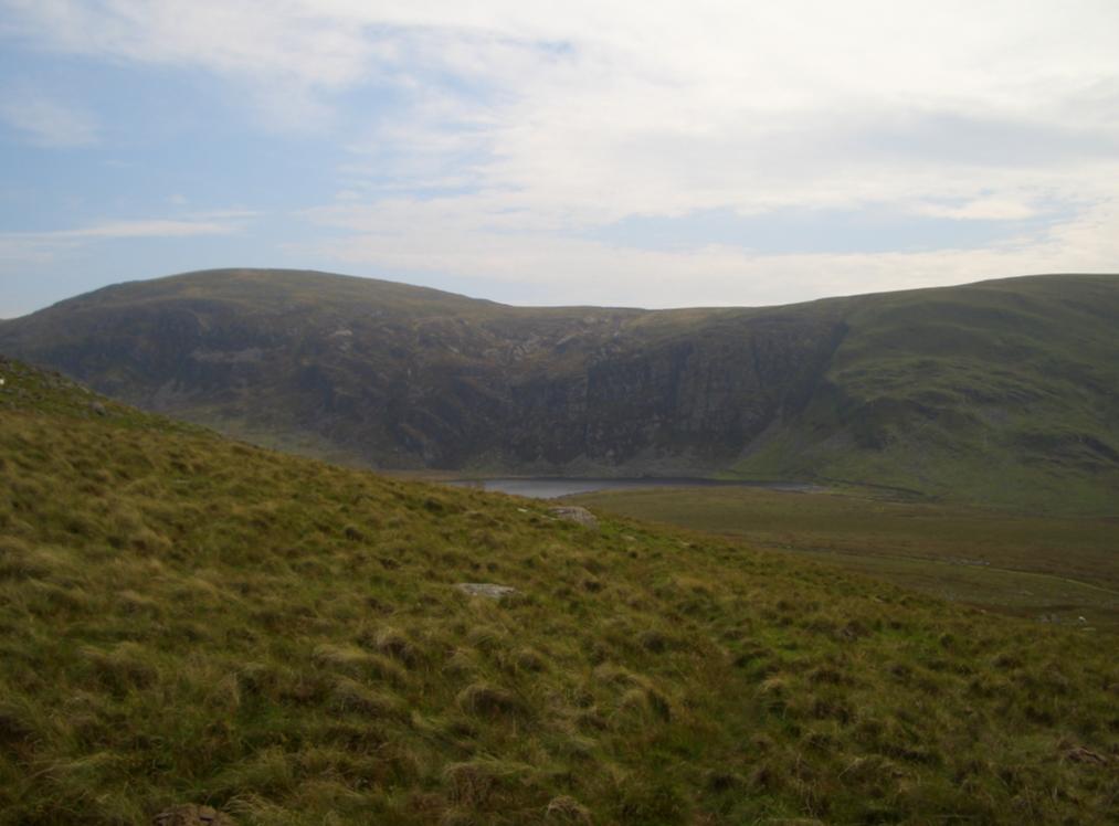
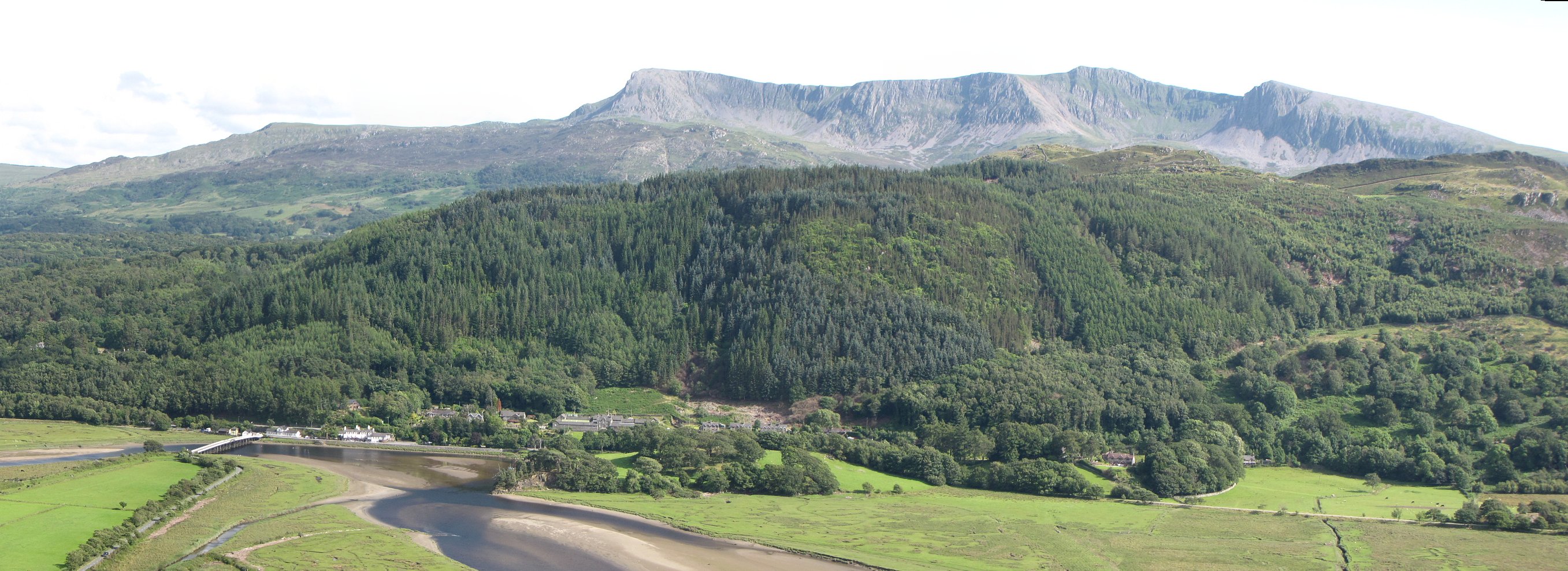
Clogau is a hill located in the county of Merionethshire, Wales. It is situated in the southern part of the Snowdonia National Park, near the village of Bontddu. The hill has an elevation of 362 meters (1,188 feet) and offers breathtaking panoramic views of the surrounding countryside.

Clogau is known for its rich history and significant geological features. It is primarily composed of slate and has distinct layered formations that have been shaped by geological processes over millions of years. The hill is also home to several old mining sites, which were once active during the 19th century. These mines produced a variety of minerals, including gold, copper, and lead.

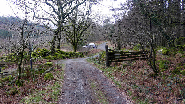
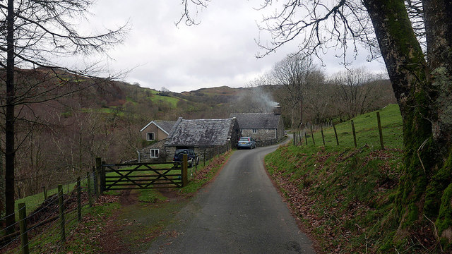
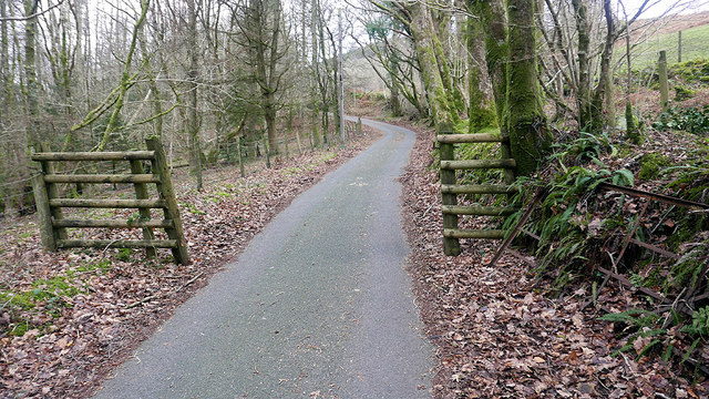
The area surrounding Clogau is abundant in natural beauty, with lush green valleys, cascading waterfalls, and a diverse range of flora and fauna. It is a popular destination for hikers and nature enthusiasts, as it offers numerous walking trails and paths that provide access to the hill's summit.

Clogau is also renowned for its connection to Welsh mythology and folklore. According to legend, it is believed to be the birthplace of the mythical character "Gwydion," who played a significant role in Welsh mythology. This adds an extra layer of intrigue and mystique to the hill, attracting those interested in ancient tales and legends.

Overall, Clogau is a captivating and historically significant hill that offers visitors a chance to immerse themselves in the natural beauty and rich cultural heritage of Merionethshire.

If you have any feedback on the listing, please let us know in the comments section below.
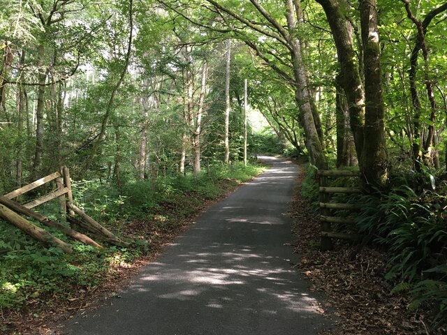
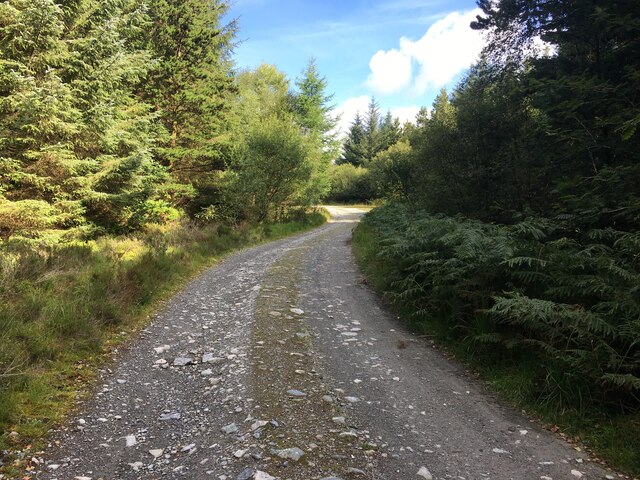
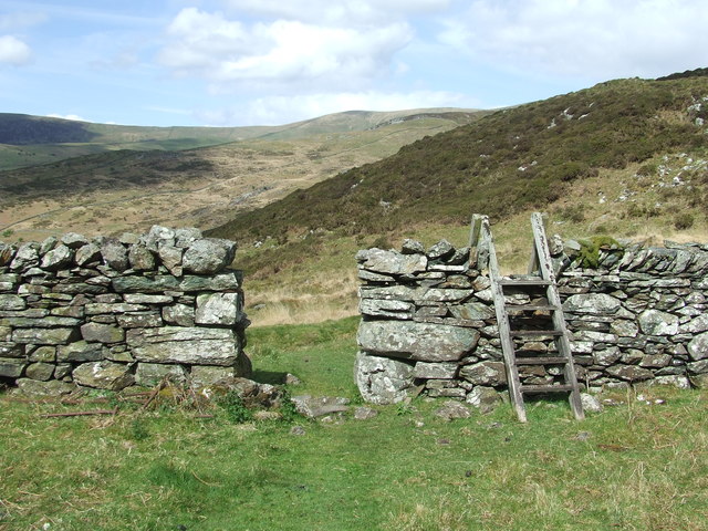
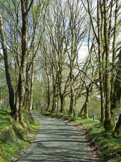
Clogau Images

Images are sourced within 2km of 52.773103/-3.9622279 or Grid Reference SH6721. Thanks to Geograph Open Source API. All images are credited.

Road to Cwm-Mynach
Road to Cwm-Mynach
Wall and derelict farm building, Cwm-Mynach
Forestry road, Cwm-Mynach
Path towards Diffwys
Ladder Stile Ladder stile over dry stone wall near to Bontddu, Gwynedd.
Ladder Stile
Ladder stile over dry stone wall near to Bontddu, Gwynedd.
Wall With Steps Stone wall with steps near to Pen-y-Bryn, Gwynedd.
Wall With Steps
Stone wall with steps near to Pen-y-Bryn, Gwynedd.
Forest Track Forest track looking south near to Pen-y-Bryn, Gwynedd.
Forest Track
Forest track looking south near to Pen-y-Bryn, Gwynedd.
Minor Road Minor road looking south near to Pen-y-Bryn, Gwynedd.
Minor Road
Minor road looking south near to Pen-y-Bryn, Gwynedd.
Blaen-cwm-mynach glimpsed through the trees The old farmstead is now surrounded by forestry. A house of some age as it depicted on the earliest available OS map - the 1889 25". Coflein have it as early 19th C: <span class="nowrap"><a title="https://www.coflein.gov.uk/en/site/28171/details/blaen-cwm-mynach" rel="nofollow ugc noopener" href="https://www.coflein.gov.uk/en/site/28171/details/blaen-cwm-mynach">Link</a><img style="margin-left:2px;" alt="External link" title="External link - shift click to open in new window" src="https://s1.geograph.org.uk/img/external.png" width="10" height="10"/></span>
Blaen-cwm-mynach glimpsed through the trees
The old farmstead is now surrounded by forestry. A house of some age as it depicted on the earliest available OS map - the 1889 25". Coflein have it as early 19th C: LinkExternal link
Forestry road up from Cwm-mynach-canol Not marked on current maps, the road leads up towards Mynydd Cwm-mynach.
Forestry road up from Cwm-mynach-canol
Not marked on current maps, the road leads up towards Mynydd Cwm-mynach.
Extensive stone ruins in Cwm-mynach Shown on 19th C. maps but as enclosures rather than roofed buildings. In earlier times, the land in the valley was owned by the monks of the Cistercian Cymer Abbey, and they are known to have used the area for grazing sheep, cattle and horses. Hard to believe now that it is so densely populated with trees.
Extensive stone ruins in Cwm-mynach
Shown on 19th C. maps but as enclosures rather than roofed buildings. In earlier times, the land in the valley was owned by the monks of the Cistercian Cymer Abbey, and they are known to have used the area for grazing sheep, cattle and horses. Hard to believe now that it is so densely populated with trees.
The end of the public road in Cwm-mynach To the left is a private road leading to Cwm-mynach-canol.
The end of the public road in Cwm-mynach
To the left is a private road leading to Cwm-mynach-canol.
Noticeboards at the entrance to the Cwm-mynach forestry The forest is now owned by the Woodland Trust which has a program of replacing areas of conifer with broad-leaf trees.
Noticeboards at the entrance to the Cwm-mynach forestry
The forest is now owned by the Woodland Trust which has a program of replacing areas of conifer with broad-leaf trees.
Cwm-mynach - The Hidden Valley Woodland trust information board.
Cwm-mynach - The Hidden Valley
Woodland trust information board.
Ty'n-y-coed Cottages in the 'Hidden Valley'.
Ty'n-y-coed
Cottages in the 'Hidden Valley'.
Boundary in Cwm Mynach Just to the south of Ty'n-y-coed, still marked as gated on current maps but the gate stands disused by the bank. There are other gates on this road through the valley which are still in use.
Boundary in Cwm Mynach
Just to the south of Ty'n-y-coed, still marked as gated on current maps but the gate stands disused by the bank. There are other gates on this road through the valley which are still in use.
Forestry track It was originally the road to the quarry up on the Cefn Cam moors, I think.
Forestry track
It was originally the road to the quarry up on the Cefn Cam moors, I think.
Show me another place!

Clogau is located at Grid Ref: SH6721 (Lat: 52.773103, Lng: -3.9622279)

Unitary Authority: Gwynedd

Police Authority: North Wales

What 3 Words

///keeps.depending.noises. Near Dolgellau, Gwynedd

Nearby Locations

Clogau

Related Wikis

Clogau Gold Mine

The Clogau (pronounced "clog-eye") Gold Mine (also known as Clogau St David's) is a gold mine near Bontddu in North Wales. == History == The Clogau mine...

Bontddu

Bontddu (meaning Black bridge) is a small settlement just east of Barmouth, near the town of Dolgellau in Gwynedd, Wales. It is in the community of Llanelltyd...

Borthwnog

Borthwnog is a family name given to the Borthwnog estate in Gwynedd, north-west Wales. Borthwnog Hall was the Manor House of the estate which encompassed...

Diffwys

Diffwys is a mountain in Snowdonia, Wales, near Barmouth and forms part of the Rhinogydd. On the north side is an exposure of the Caerdion Syncline. It...

Diffwys West Top

Diffwys West Top is a top of Diffwys in Snowdonia, North Wales, near Barmouth and forms part of the Rhinogydd. It is a grassy summit found on the west...

Y Garn (Rhinogydd)

For other hills of the same name, see Y Garn (disambiguation). Y Garn is a mountain in the southern Snowdonia, Wales, north of Dolgellau. It is an outlier...

Penmaenpool railway station

Penmaenpool railway station at Penmaenpool in Gwynedd, North Wales, was formerly a station on the Dolgelly [sic] branch of the Aberystwith and Welsh Coast...

Penmaenpool

Penmaenpool (Welsh: Llynpenmaen) is a hamlet on the south side of the estuary of the River Mawddach in Wales, near Dolgellau. A Grade II listed toll bridge...

Nearby Amenities

Located within 500m of 52.773103,-3.9622279
Turning Circle
Lat/Long: 52.7710512/-3.9561318
Barrier: stile
Lat/Long: 52.7733746/-3.9677582
The data included in this document is from www.openstreetmap.org. The data is made available under ODbL.

Have you been to Clogau?

Leave your review of Clogau below (or comments, questions and feedback).