Cnoc a' Phuillachair
Hill, Mountain in Sutherland
Scotland
Cnoc a' Phuillachair

Cnoc a' Phuillachair is a prominent hill located in the county of Sutherland, in the northern part of Scotland. With an elevation of 565 meters (1,854 feet), it stands as one of the notable peaks in the region. The hill is situated within the larger mountain range known as the Northwest Highlands, which is renowned for its rugged and picturesque landscapes.
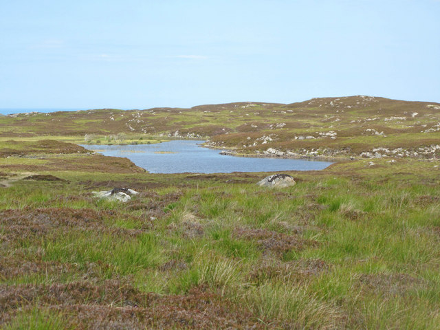
Cnoc a' Phuillachair is characterized by its distinct conical shape, with steep slopes covered in heather and grasses. The summit offers breathtaking panoramic views of the surrounding countryside, including nearby lochs, moors, and glens. On clear days, it is possible to see as far as the distant peaks of the Highlands.
The hill is a popular destination for hikers and outdoor enthusiasts, who are drawn to its challenging yet rewarding ascent. There are several routes to reach the summit, varying in difficulty and length, but all are marked and well-maintained. Along the way, visitors can encounter diverse wildlife, such as red deer, mountain hares, and various bird species.
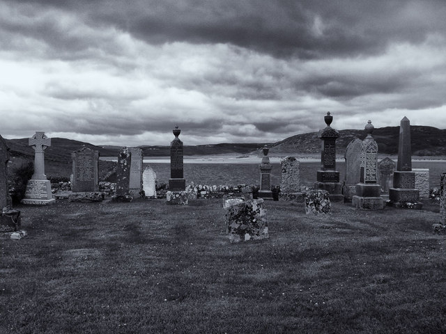
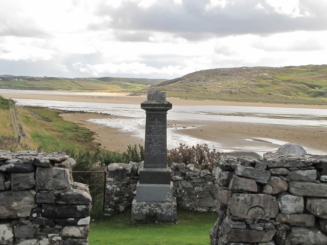
Cnoc a' Phuillachair is also steeped in history and folklore, with ancient ruins and standing stones scattered throughout the surrounding area. These remnants serve as a testament to the human presence in the region for thousands of years.
Overall, Cnoc a' Phuillachair offers a captivating and enriching experience for those who choose to explore its slopes, combining natural beauty, a sense of adventure, and a glimpse into Scotland's rich cultural heritage.
If you have any feedback on the listing, please let us know in the comments section below.
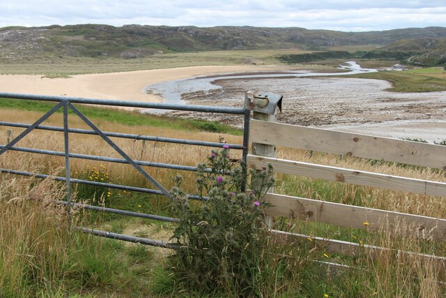
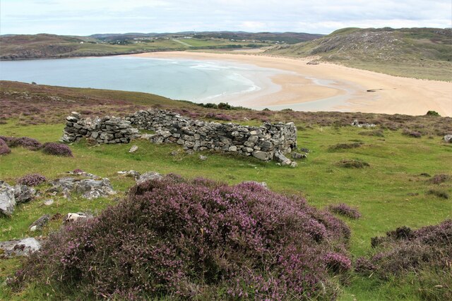
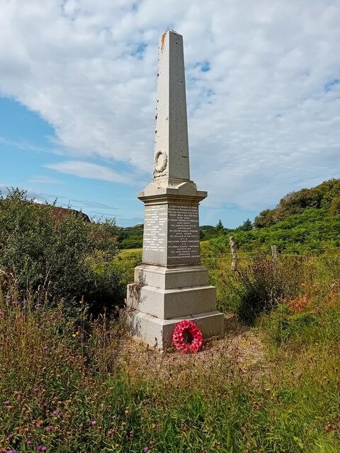
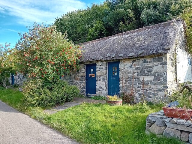
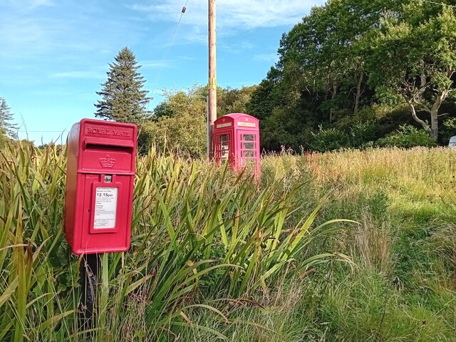
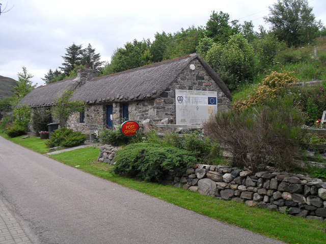
Cnoc a' Phuillachair Images
Images are sourced within 2km of 58.51586/-4.2799348 or Grid Reference NC6760. Thanks to Geograph Open Source API. All images are credited.


Cnoc a' Phuillachair is located at Grid Ref: NC6760 (Lat: 58.51586, Lng: -4.2799348)
Unitary Authority: Highland
Police Authority: Highlands and Islands
What 3 Words
///comb.puzzle.stolen. Near Altnaharra, Highland
Nearby Locations
Related Wikis

Torrisdale, Sutherland
Torrisdale is a remote hamlet on the western shore of Torrisdale Bay in Sutherland, Highland, on the north coast of Scotland. It is 3 kilometres (2 mi...
Achtoty
Achtoty (Scottish Gaelic: Achadh Toitidh) is a remote hamlet in the Scottish Highland Council area. Achtoty is about 26 miles (42 km) west of Thurso....

Skerray
Skerray (Scottish Gaelic: Sgeirea) is a remote small crofting hamlet and fishing port on the north coast of Sutherland, Scotland. It is located 7+3⁄4 miles...

Baile Mhargaite (Sandy Dun)
Baile Mhargaite (also known as Lochan Druim An Duin, the Sandy Dun, or Invernaver Broch) is an Iron Age broch in Strathnaver, Sutherland. It is a scheduled...
Have you been to Cnoc a' Phuillachair?
Leave your review of Cnoc a' Phuillachair below (or comments, questions and feedback).