Pupers Hill
Hill, Mountain in Devon South Hams
England
Pupers Hill
Pupers Hill is a picturesque hill located in Devon, England. Situated in the southwestern part of the county, it is part of the Dartmoor National Park, renowned for its stunning natural beauty and diverse wildlife. Pupers Hill stands at an elevation of approximately 389 meters (1,276 feet), making it a prominent landmark in the area.
The hill is characterized by its rolling green slopes, covered in heather and gorse, which provide a vibrant and colorful landscape, particularly during the summer months. As with many hills in the region, Pupers Hill offers breathtaking panoramic views of the surrounding countryside, including the nearby Tamar Valley and the rugged tors that dot the Dartmoor landscape.
Pupers Hill is a popular destination for outdoor enthusiasts, offering various walking trails and paths that cater to different levels of difficulty. These trails wind their way through the hill's tranquil surroundings, allowing visitors to experience the diverse flora and fauna unique to the region. The hill is also home to a variety of bird species, making it a haven for birdwatchers.
Aside from its natural beauty, Pupers Hill is also steeped in history. Dartmoor has a rich cultural heritage, with evidence of human presence dating back thousands of years. The hill is dotted with archaeological sites, including ancient burial mounds and stone circles, providing a glimpse into the area's past.
In summary, Pupers Hill is a stunning natural landmark in Devon, offering visitors a chance to immerse themselves in the beauty of Dartmoor National Park while also exploring its rich historical and cultural heritage.
If you have any feedback on the listing, please let us know in the comments section below.
Pupers Hill Images
Images are sourced within 2km of 50.491071/-3.872417 or Grid Reference SX6767. Thanks to Geograph Open Source API. All images are credited.
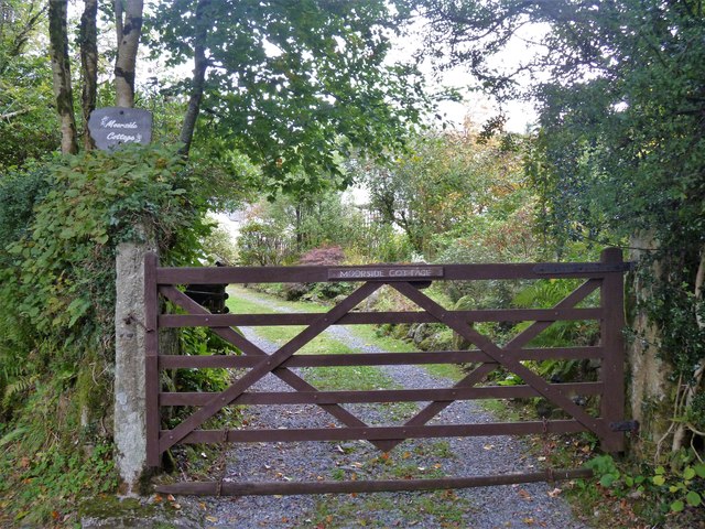
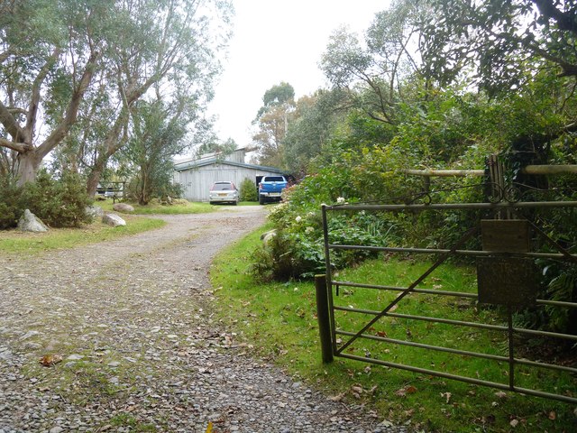
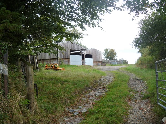
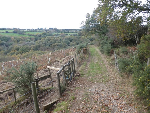
![The way to the moor [3] Now a private road and public bridleway, this 'no through road' leads to Lud gate and open moorland.](https://s3.geograph.org.uk/geophotos/05/95/37/5953791_db47146b.jpg)
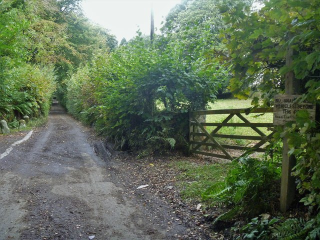
![Buckfastleigh Moor [1] Beyond Lud Gate, Buckfastleigh Moor is open access land and several vague paths and tracks fan out.](https://s3.geograph.org.uk/geophotos/05/95/37/5953799_4a8977a2.jpg)
![Buckfastleigh Moor [2] This vague path, one of several, leads across the moor.](https://s0.geograph.org.uk/geophotos/05/95/38/5953800_8501063b.jpg)
![Buckfastleigh Moor [3] The path is somewhat eroded as it ascends on the moor.](https://s2.geograph.org.uk/geophotos/05/95/38/5953802_c5b01486.jpg)


Pupers Hill is located at Grid Ref: SX6767 (Lat: 50.491071, Lng: -3.872417)
Administrative County: Devon
District: South Hams
Police Authority: Devon and Cornwall
What 3 Words
///clogging.owes.dividing. Near Buckfastleigh, Devon
Nearby Locations
Related Wikis

Ryder's Hill
At 515 m, Ryder's Hill is the highest point on the southern part of Dartmoor, Devon, England. On its summit there are two standing stones and a low cairn...

Holne Ridge
Holne Ridge, on Dartmoor, includes some of southern Dartmoor's highest land. The ridge to the south west overlooks mires and bogs like Aune Head Mires...

West Buckfastleigh
West Buckfastleigh is a small civil parish in the South Hams district, on the eastern border of Dartmoor in Devon, England. Situated within the parish...
Scorriton
Scorriton is a tiny village in the county of Devon, England, and the main centre of habitation of the parish of West Buckfastleigh. == Description... ==
Nearby Amenities
Located within 500m of 50.491071,-3.872417Have you been to Pupers Hill?
Leave your review of Pupers Hill below (or comments, questions and feedback).