Barlue Hill

Hill, Mountain in Kirkcudbrightshire

Scotland

Barlue Hill

Laurieston Forest The road to Laurieston, in the valley of Kenick Burn.
Laurieston Forest Credit: M J Richardson

Barlue Hill is a prominent landmark located in Kirkcudbrightshire, a historic county in southwest Scotland. Standing at an elevation of approximately 321 meters (1053 feet), it is classified as a hill rather than a mountain. Despite its relatively modest height, Barlue Hill offers stunning panoramic views of the surrounding countryside and towns.

The hill is characterized by its gentle slopes, covered in a patchwork of green pastures, hedgerows, and scattered trees. At the summit, there is a trig point, which serves as a navigational marker. This point is often used by hikers and walkers as a reference for their journeys or simply as a destination to enjoy the breathtaking vistas.

Barlue Hill is situated in an area rich in natural beauty, with the Scottish countryside unfolding in all directions. To the east lies the town of Gatehouse of Fleet, known for its charming architecture and proximity to the Galloway Forest Park. On clear days, the views extend to the Solway Firth and even the Lake District in England.

The hill is a popular spot for outdoor enthusiasts, who can embark on various trails that crisscross the area. These trails offer the opportunity to explore the diverse flora and fauna of the region, as well as the chance to spot local wildlife such as deer, rabbits, and a variety of bird species.

In conclusion, Barlue Hill is a picturesque and accessible hill in Kirkcudbrightshire, offering visitors and locals alike a chance to immerse themselves in the natural beauty of southwest Scotland.

If you have any feedback on the listing, please let us know in the comments section below.
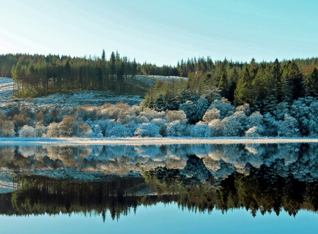
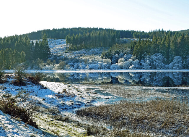
Barlue Hill Images

Images are sourced within 2km of 54.966069/-4.0765356 or Grid Reference NX6765. Thanks to Geograph Open Source API. All images are credited.

Laurieston Forest The road to Laurieston, in the valley of Kenick Burn.
Laurieston Forest
The road to Laurieston, in the valley of Kenick Burn.
Kennick Burn car park A small car park and picnic site in Laurieston Forest.
Kennick Burn car park
A small car park and picnic site in Laurieston Forest.
Kennick Burn car park A small car park and picnic site in Laurieston Forest.
Kennick Burn car park
A small car park and picnic site in Laurieston Forest.
Kennick Burn car park sign A small car park and picnic site in Laurieston Forest, although local features - burn, wood and hill - are all spelt 'Kenick' on the OS maps.
Kennick Burn car park sign
A small car park and picnic site in Laurieston Forest, although local features - burn, wood and hill - are all spelt 'Kenick' on the OS maps.
Kenick Burn Looking upstream from the footbridge at the car park.
Kenick Burn
Looking upstream from the footbridge at the car park.
Footbridge across Kenick Burn Leading into Kenick Wood, part of Galloway Forest Park.
Footbridge across Kenick Burn
Leading into Kenick Wood, part of Galloway Forest Park.
Gallery and cafe, Laurieston
Beech lined road, Laurieston Forest A contrast to the conifers on either side further in. The 1980 JK (year's biggest orienteering event) was held here and I remember it being particularly tough as well as the brief relief passing through this strip of beeches. Sitka plantations rarely give an enjoyable run.
Beech lined road, Laurieston Forest
A contrast to the conifers on either side further in. The 1980 JK (year's biggest orienteering event) was held here and I remember it being particularly tough as well as the brief relief passing through this strip of beeches. Sitka plantations rarely give an enjoyable run.
Bellymack Hill entrance There is a kite feeding station here and it sounded a bit like a sheepdog trial with the kites whistling from the surrounding trees.
Bellymack Hill entrance
There is a kite feeding station here and it sounded a bit like a sheepdog trial with the kites whistling from the surrounding trees.
Edge of Laurieston Forest A field under Craigcroft Wood.
Edge of Laurieston Forest
A field under Craigcroft Wood.
Craigcroft Wood This part of Laurieston Forest has had its conifers harvested but not replanted and has been left to the birches.
Craigcroft Wood
This part of Laurieston Forest has had its conifers harvested but not replanted and has been left to the birches.
Laurieston Forest
Laurieston Forest
Laurieston to Gatehouse of Fleet road Passing through Laurieston Forest.
Laurieston to Gatehouse of Fleet road
Passing through Laurieston Forest.
Laurieston Forest Memories of the 1980 JK for the orienteers. Then a couple of thousand of us "ran" through thick Sitka over complex contours. 

The Jan Kjellstrom Memorial Event is the biggest annual orienteering event in Britain and the event here in 1980 could well have been the biggest mass participation sports event of the year - this was before the London Marathon.  There was another individual race the day before in Dalbeattie Forest and on Easter Monday there was a relay at Mabie. I remember finding the Laurieston day utterly brutal.
Laurieston Forest
Memories of the 1980 JK for the orienteers. Then a couple of thousand of us "ran" through thick Sitka over complex contours. The Jan Kjellstrom Memorial Event is the biggest annual orienteering event in Britain and the event here in 1980 could well have been the biggest mass participation sports event of the year - this was before the London Marathon. There was another individual race the day before in Dalbeattie Forest and on Easter Monday there was a relay at Mabie. I remember finding the Laurieston day utterly brutal.
Hard standing, Kennick Burn car park
Laurieston Forest Looking out of a short bit of road towards the public road between Gatehouse of Fleet and Laurieston.
Laurieston Forest
Looking out of a short bit of road towards the public road between Gatehouse of Fleet and Laurieston.
Woodhall Loch reflections A closer look at the frosted trees and shrubs reflected in the calm water of Woodhall Loch.
Woodhall Loch reflections
A closer look at the frosted trees and shrubs reflected in the calm water of Woodhall Loch.
Wintry Woodhall Loch Viewed on a lovely but chilly December day.
Wintry Woodhall Loch
Viewed on a lovely but chilly December day.
Show me another place!

Barlue Hill is located at Grid Ref: NX6765 (Lat: 54.966069, Lng: -4.0765356)

Unitary Authority: Dumfries and Galloway

Police Authority: Dumfries and Galloway

What 3 Words

///fence.speeded.performs. Near Castle Douglas, Dumfries & Galloway

Related Wikis

Loch Ken

Loch Ken is a 9 miles (14 km) long freshwater loch in the historic county of Kirkcudbrightshire in Dumfries and Galloway, Scotland. It lies in the Glenkens...

Airds of Kells

Airds of Kells is a farm and small estate in the historical county of Kirkcudbrightshire in the parish of Kells, Dumfries and Galloway, Scotland. The...

Parton railway station (Portpatrick and Wigtownshire Joint Railway)

Parton railway station served the hamlet of Parton, Dumfries and Galloway, Scotland, from 1861 to 1965 on the Portpatrick and Wigtownshire Joint Railway...

Balmaghie

Balmaghie ( bal-mÉ™-GEE), from the Scottish Gaelic Baile Mhic Aoidh, is an ecclesiastical and civil parish in the historical county of Kirkcudbrightshire...

New Galloway railway station

New Galloway railway station served the town of New Galloway in Dumfries and Galloway, Scotland, from 1861 to 1965 on the Portpatrick and Wigtownshire...

Parton, Dumfries and Galloway

Parton is a hamlet situated on the banks of the River Dee in the historical county of Kirkcudbrightshire, Dumfries and Galloway, Scotland. == Notable... ==

Crossmichael railway station

Crossmichael railway station served the village of Crossmichael, Kirkcudbrightshire, Scotland, from 1861 to 1965 on the Portpatrick and Wigtownshire Joint...

Crossmichael Parish Church

Crossmichael Parish Church is an ecclesiastical building in Crossmichael, Dumfries and Galloway, Scotland. It lies on a knoll, which was probably an ancient...

Nearby Amenities

Located within 500m of 54.966069,-4.0765356
Power: pole
Lat/Long: 54.9625589/-4.0729601
Power: pole
Lat/Long: 54.9631895/-4.073111
Power: pole
Lat/Long: 54.9638066/-4.0732384
Power: pole
Lat/Long: 54.9642701/-4.0733531
Power: pole
Lat/Long: 54.9647982/-4.0728751
Power: pole
Lat/Long: 54.9623357/-4.0795746
Power: pole
Lat/Long: 54.9630992/-4.0795194
Power: pole
Lat/Long: 54.963881/-4.0794514
Power: pole
Lat/Long: 54.9646116/-4.0793707
Power: pole
Lat/Long: 54.9654287/-4.0793006
Power: pole
Lat/Long: 54.9662653/-4.0792177
Power: pole
Lat/Long: 54.9668312/-4.0792113
Power: pole
Lat/Long: 54.9686873/-4.0801355
Power: pole
Lat/Long: 54.9698361/-4.0797849
The data included in this document is from www.openstreetmap.org. The data is made available under ODbL.

Have you been to Barlue Hill?

Leave your review of Barlue Hill below (or comments, questions and feedback).