Banc Mynyddgorddu
Hill, Mountain in Cardiganshire
Wales
Banc Mynyddgorddu
Banc Mynyddgorddu, located in Cardiganshire, Wales, is a prominent hill/mountain that offers breathtaking views and a rich natural habitat. Standing at an elevation of approximately 404 meters (1325 feet), it is part of the Cambrian Mountains range.
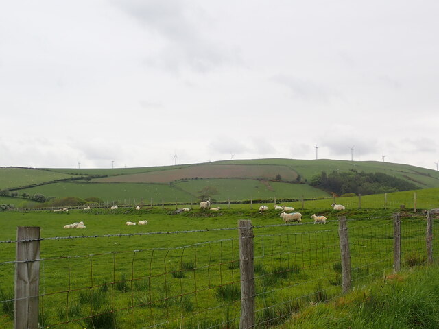
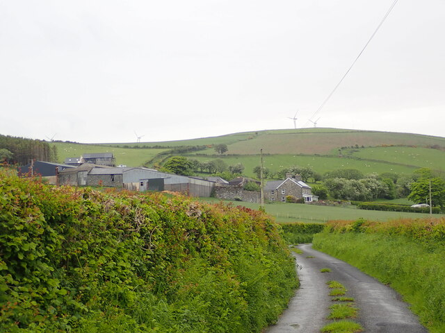
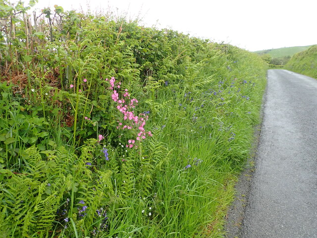
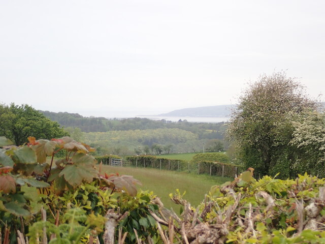
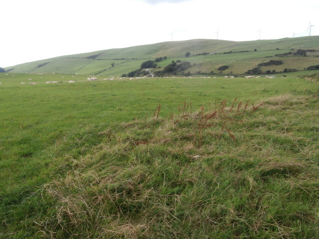
The hill/mountain is characterized by its rugged terrain, with steep slopes covered in a patchwork of heather moorland and scattered rocky outcrops. Its distinctive shape, resembling a whale's back, grants it a unique appeal. The summit of Banc Mynyddgorddu provides panoramic views of the surrounding landscape, including the rolling hills, lush valleys, and distant peaks.
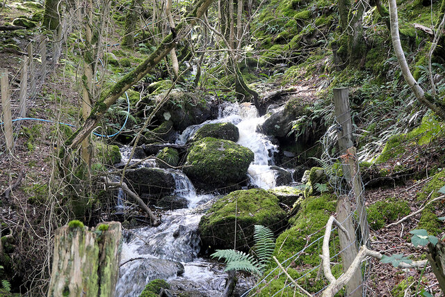
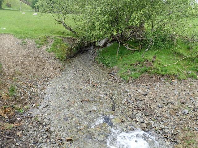
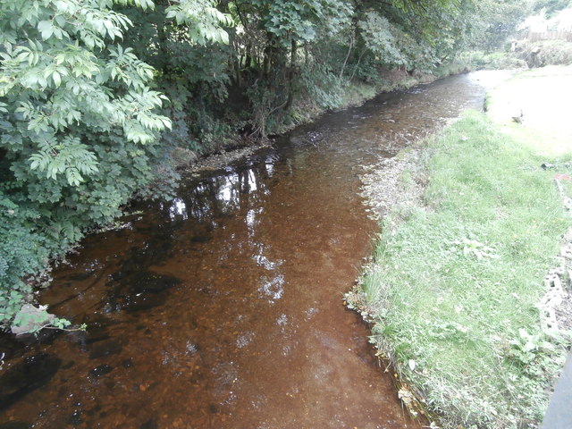
The area is renowned for its exceptional biodiversity. The hillside supports a variety of plant species, such as heather, gorse, and bilberry, which provide important habitats for numerous insects and small mammals. Birdwatchers frequent the hill to spot various species, including red grouse, skylarks, and kestrels. Additionally, the nearby streams are home to a range of aquatic life, including trout and salmon.
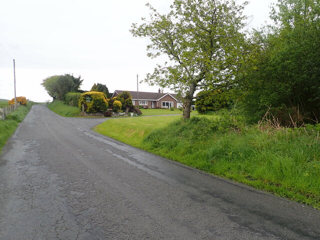
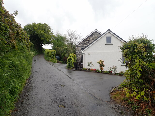
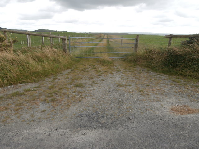
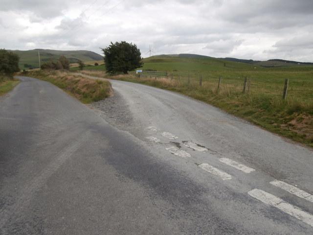
Hikers and outdoor enthusiasts are drawn to Banc Mynyddgorddu due to its accessibility and well-maintained footpaths. Several walking routes lead up the hill, allowing visitors to explore its scenic beauty at their own pace. The hill's proximity to nearby villages and towns also makes it a popular destination for day trips and picnics.
Overall, Banc Mynyddgorddu offers a rewarding experience for nature lovers and adventurers alike, showcasing the beauty of the Welsh countryside and providing a haven for diverse flora and fauna. Whether you seek solitude, picturesque views, or an opportunity to immerse yourself in nature, this hill/mountain is a must-visit destination in Cardiganshire.
If you have any feedback on the listing, please let us know in the comments section below.
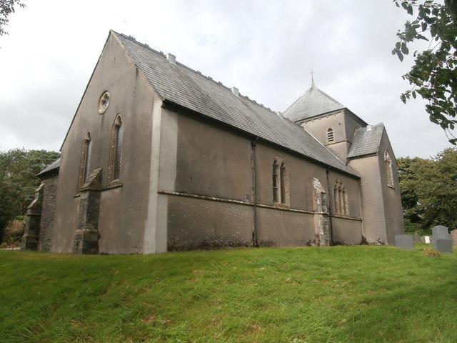
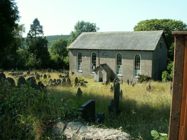
Banc Mynyddgorddu Images
Images are sourced within 2km of 52.461865/-3.9623089 or Grid Reference SN6686. Thanks to Geograph Open Source API. All images are credited.

Banc Mynyddgorddu is located at Grid Ref: SN6686 (Lat: 52.461865, Lng: -3.9623089)
Unitary Authority: Ceredigion
Police Authority: Dyfed Powys
What 3 Words
///backhand.belt.kiosk. Near Bow Street, Ceredigion
Nearby Locations
Related Wikis

Cynnull-mawr
Cynnull-mawr is a small village in the community of Ceulanamaesmawr, Ceredigion, Wales, which is 76.3 miles (122.8 km) from Cardiff and 176.9 miles (284...

Bont Goch
Bont Goch (also known as Bontgoch or Elerch) is a village in Ceredigion, Wales, 2 miles (3.2 km) northeast of Aberystwyth. With Talybont, it is in the...
Broginin
Broginin is a hamlet in the community of Trefeurig, Ceredigion, Wales, which is 74.6 miles (120 km) from Cardiff and 175.7 miles (282.8 km) from London...
Salem, Ceredigion
Salem is a small Welsh village in Ceredigion, located between the Afon Stewi and Nant Seilo rivers. The closest village is Penrhyn-coch. The Salem Independent...
Pen-Rhiw-Newydd
Penrhiwnewydd is a hamlet in the community of Trefeurig, Ceredigion, Wales, which is 74.1 miles (119.2 km) from Cardiff and 175.3 miles (282 km) from London...
Dol-gau
Dol-gau (or Dôl-gau) is a small village in the community of Tirymynach, Ceredigion, Wales, which is 76.4 miles (123 km) from Cardiff and 177.5 miles...

Trefeurig
Trefeurig is a community in Mid and West Wales, situated around 4 miles (6.4 km) north-east of Aberystwyth. It is a site of particular prehistoric, Roman...

Tal-y-bont, Ceredigion
Tal-y-bont (also known as Talybont) is a village in Ceredigion, Wales, located on the A487 road about halfway between Aberystwyth and Machynlleth. At the...
Nearby Amenities
Located within 500m of 52.461865,-3.9623089Have you been to Banc Mynyddgorddu?
Leave your review of Banc Mynyddgorddu below (or comments, questions and feedback).