Beacon Hill
Hill, Mountain in Ayrshire
Scotland
Beacon Hill
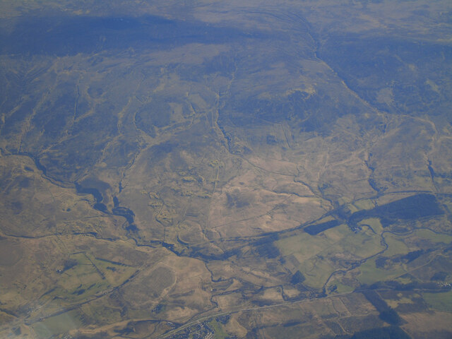
Beacon Hill is a prominent hill located in Ayrshire, Scotland. Standing at an elevation of approximately 285 meters (935 feet), it offers stunning panoramic views of the surrounding countryside and coastline. The hill is situated near the town of Largs, about 40 kilometers (25 miles) southwest of Glasgow.
Beacon Hill is a popular destination for both locals and tourists alike, thanks to its natural beauty and historical significance. The hill gets its name from the beacon that was once placed at its summit, which was used as a signal station during times of war. Today, only remnants of the original structure remain, serving as a reminder of its past.
The hill is accessible via several walking paths and trails, making it a popular spot for outdoor enthusiasts and hikers. The ascent to the top is relatively moderate, offering a pleasant and rewarding experience for individuals of various fitness levels. Along the way, visitors can enjoy the diverse flora and fauna that inhabit the surrounding area.
Once at the summit, visitors are rewarded with breathtaking views of the Ayrshire coastline, the Isle of Arran, and the Firth of Clyde. On clear days, it is even possible to catch a glimpse of the Irish coastline in the distance.
Beacon Hill is not only a natural wonder but also holds historical significance for the local community. Its accessibility, scenic beauty, and historical charm make it a must-visit destination for those exploring Ayrshire.
If you have any feedback on the listing, please let us know in the comments section below.
Beacon Hill Images
Images are sourced within 2km of 55.513203/-4.1144306 or Grid Reference NS6626. Thanks to Geograph Open Source API. All images are credited.


Beacon Hill is located at Grid Ref: NS6626 (Lat: 55.513203, Lng: -4.1144306)
Unitary Authority: East Ayrshire
Police Authority: Ayrshire
What 3 Words
///grant.digested.greeting. Near Muirkirk, East Ayrshire
Nearby Locations
Related Wikis

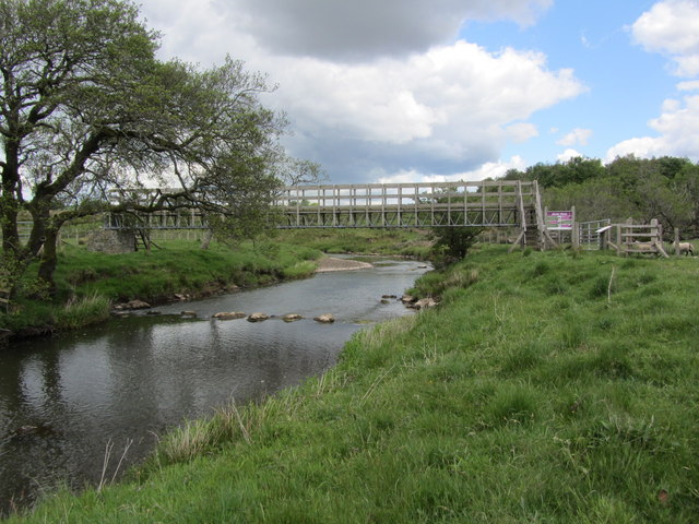
Garpel Water
The Garpel Water is a river near Muirkirk, Scotland. It flows under the Sanquhar bridge and Tibbie's Brig. It flows into the River Ayr.
Muirkirk railway station
Muirkirk railway station was a railway station serving the village of Muirkirk, East Ayrshire, Scotland. == First station == The station opened on 9 August...

Muirkirk
Muirkirk (Scottish Gaelic: Eaglais an t-Slèibh) is a small village in East Ayrshire, southwest Scotland. It is located on the north bank of the River Ayr...
Greenock Water
Greenock Water is a river in East Ayrshire, Scotland. It flows out of the Dippal Burn, about 2 miles south of Dungavel Hill. A tributary of the River Ayr...
Nearby Amenities
Located within 500m of 55.513203,-4.1144306Have you been to Beacon Hill?
Leave your review of Beacon Hill below (or comments, questions and feedback).