Black Hill
Hill, Mountain in Ayrshire
Scotland
Black Hill

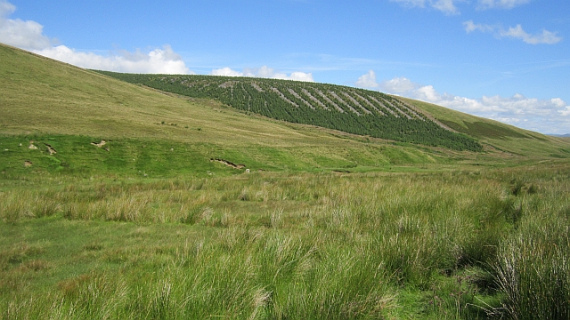
Black Hill is a prominent hill located in Ayrshire, Scotland. Standing at an elevation of 726 meters (2,382 feet), it is considered one of the highest points in the region. The hill is situated in the southern part of the Carrick Forest, just a few kilometers southwest of Straiton village.
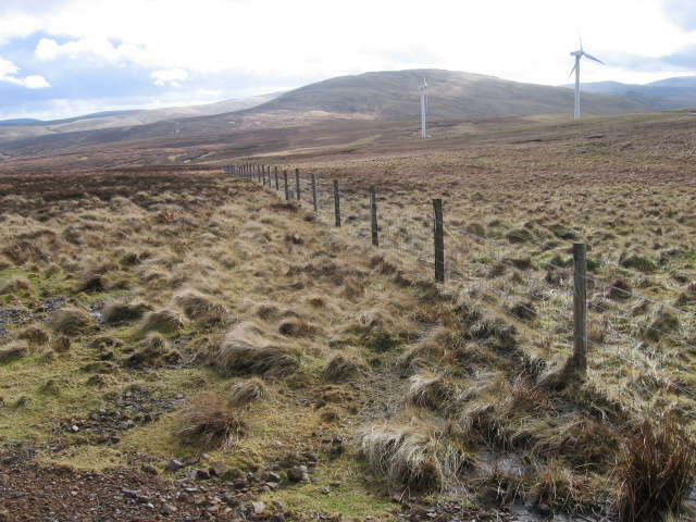
The terrain of Black Hill is characterized by its rugged and steep slopes, covered with heather and grass. It offers stunning panoramic views of the surrounding landscape, including the Galloway Hills to the south and the Firth of Clyde to the west. On clear days, it is possible to see as far as the Isle of Arran and the Ailsa Craig from the summit.
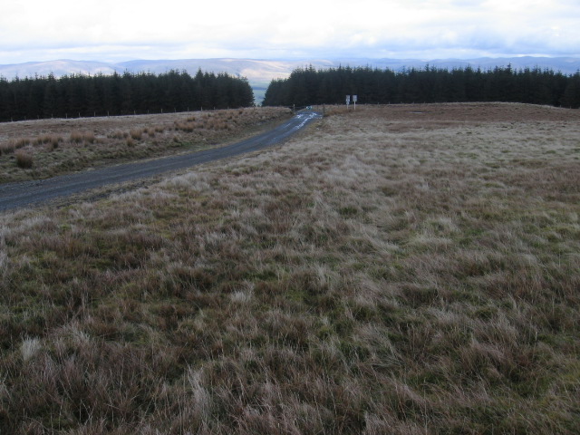
The hill is a popular destination for hikers and nature enthusiasts. Various walking routes provide access to the top, catering to different levels of difficulty and fitness. While the ascent can be challenging, the rewarding vistas make it well worth the effort.
Black Hill is also home to a diverse range of wildlife, including red grouse, skylarks, and birds of prey such as buzzards and kestrels. The hill is also a designated Site of Special Scientific Interest (SSSI) due to its geological significance, with evidence of glacial activity and interesting rock formations.
Overall, Black Hill offers a unique and picturesque experience for those seeking outdoor adventures and a chance to appreciate the natural beauty of Ayrshire.
If you have any feedback on the listing, please let us know in the comments section below.
Black Hill Images
Images are sourced within 2km of 55.373032/-4.1102596 or Grid Reference NS6610. Thanks to Geograph Open Source API. All images are credited.


Black Hill is located at Grid Ref: NS6610 (Lat: 55.373032, Lng: -4.1102596)
Unitary Authority: East Ayrshire
Police Authority: Ayrshire
What 3 Words
///grin.spice.responded. Near New Cumnock, East Ayrshire
Nearby Locations
Related Wikis

Blackcraig Hill
Blackcraig Hill is a hill in the Carsphairn and Scaur Hills range, part of the Southern Uplands of Scotland. It lies southeast of the town of New Cumnock...

River Afton
The River Afton (or Afton Water) is a small river in Ayrshire, Scotland, which flows north from Alwhat Hill in the Carsphairn and Scaur Hills, through...

Mansfield, East Ayrshire
Mansfield is a village in East Ayrshire in Scotland. It is north of New Cumnock from which it is separated by the River Nith and the adjacent village of...

New Cumnock
New Cumnock is a town in East Ayrshire, Scotland. It expanded during the coal-mining era from the late 18th century, and mining remained its key industry...
Nearby Amenities
Located within 500m of 55.373032,-4.1102596Have you been to Black Hill?
Leave your review of Black Hill below (or comments, questions and feedback).